


Why visit Hille
Townapedia lists 30 museums and landmarks, 27 parks and trails, 65 places to eat, 4 places to stay and 26 attractions in and around town.
Highlights include Hof Hormann SB Hofladen, Hofladen Hahlen, Moorhus Besucherzentrum and Windmühle Eickhorst.
Weather in Hille
Forecast from MET Norway (CC BY 4.0). Full forecast
About Hille
Hille (German pronunciation: [ˈhɪlə] ) is a community in the Kreis Minden-Lübbecke in the north of East Westphalia, Germany, with approximately 16,000 inhabitants. It was created in 1973 in the framework of the community restructuring of North Rhine-Westphalia through the combining of nine communities of the Minden countryside. The community is named after Hille its largest village. The geography of the community belongs to that of the North German Plain, from its lowest altitude of 45 metres it rises to 251 metres on the ridge of the Wiehengebirge at its southern border.
From the Wikipedia article Hille, Germany (this version), under CC BY-SA 4.0.
Things to do26

Hofladen Hahlen
Farm and orchard · 7.3 km
400 Königstraße, Minden
Mo-Fr 09:00-18:00; Sa 09:00-13:00; Su off

Wartturm
Monument and historic site · 10.8 km
Historical Watchtower in Germany
Biohof Oberhaus
Farm and orchard · 4.9 km
6 Kanalweg, Lübbecke
We 15:00-18:00, Sa 08:00-12:00
Hof Klostermeier
Farm and orchard · 5.0 km
427 Mindener Straße, Hille
Mo-Su 06:00-21:00



14 more on the map.
Museums and landmarks30

Moorhus Besucherzentrum
Monument and historic site · 5.5 km
57a Frotheimer Straße, Lübbecke
Mo,Tu off; Apr-Sep We-Sa 14:00-18:00, Su,PH 11:00-18:00;...



Gehrmker Hius
Monument and historic site · 7.2 km
45 Lindenstraße, Lübbecke

Windmühle Struckhof
Monument and historic site · 7.0 km
16 Wulferdingsener Straße, Hüllhorst
Historische Dorfschmiede
Monument and historic site · 6.3 km
39 Minderheider Straße, Hille
Kantor Heinrich Brinkmann
Monument and historic site · 7.5 km
Granitfindling mit Bronzetafel
18 more on the map.
Parks, trails and playgrounds27



Freibad Gehlenbeck
Sports field and stadium · 5.5 km
57 Frotheimer Straße, Lübbecke


15 more on the map.
Restaurants and cafes65

Cafe Volgelnest
Cafe · Coffee Shop · 5.6 km
Frühstück auf Anmeldung
6 Moordamm, Lübbecke
Th-Su 14:00-18:00
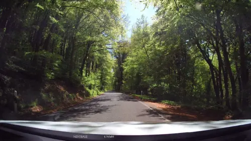
Cafe Waldkristall
Cafe · Cake, Breakfast · 5.8 km
141 Bergstraße, Hüllhorst
We-Fr 09:30-18:00, Sa,Su 10:00-18:00

Gasthaus Kreft
Restaurant · Regional · 4.0 km
260 Lübbecker Straße, Hille
Tu-Sa 17:30-22:00+; Su 12:00-14:30,17:30-22:00+; Mo-We off
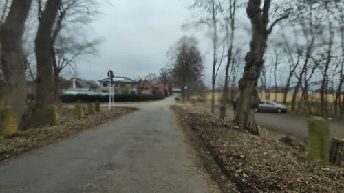
Hafenblick
Restaurant · Regional · 8.0 km
28 Am Hahler Hafen, Minden
May-Sep Mo-Fr 10:00-22:00; May-Sep Sa,Su,PH 10:00+;...
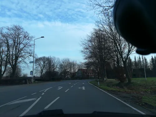
Restaurant Samos
Restaurant · Greek · 1.6 km
3 Mindener Straße, Hille
Tu-Sa 17:00-23:00; Su 12:00-14:00, 17:00-23:00
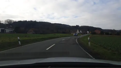
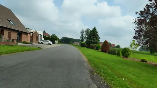
Wagemark’s Well
Bar and pub · Regional, Chicken, German · 2.6 km
120 Leiwkenstadt, Hille
We-Su 17:00-21:00, Mo-Tu off
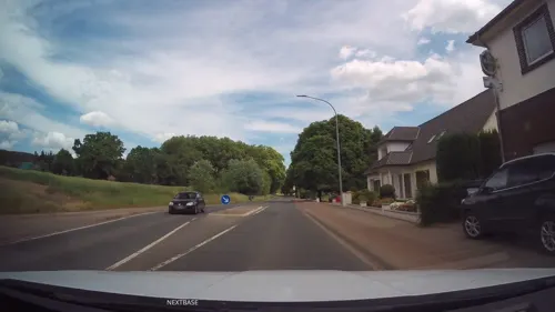
ZEUS
Restaurant · Greek · 7.8 km
17 Ahlsener Straße, Hüllhorst
Tu-Sa 17:30-23:00; Su,PH 12:00-14:30,17:00-23:00
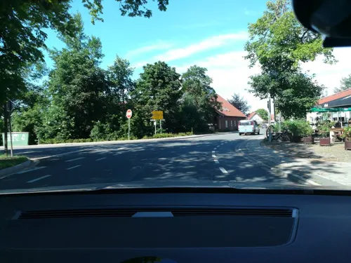


Albersmeyer "Im Loh" Hotel und Restaurant
Restaurant · Regional · 5.7 km
53 Diepenauer Straße, Espelkamp

Bäckerei & Lebensmittel Kleine
Bakery · 6.8 km
46 Bäckerstraße, Hille
Mo-Fr 06:00-13:00, 15:00-18:00, Sa 06:00-13:00
53 more on the map.
History
Hille was and is influenced by its agricultural character. Besides the large farms, which grew because of the good loess soil of the Hartumer Loess Plate, there were many small homes for contract workers into the 19th century. The contract workers earned a supplemental income through manual labor such as the weaving of linen. Cigarmaking arrived in Hille at the end of the 19th century. Especially toward the end of the 19th century many residents of the Hille villages emigrated to the USA. Their goal was mostly the state of New York and especially the city of Schenectady. Men from Hille also travelled by foot to the Netherlands for seasonal work such as mowing grass. Many of them remained there.
From the History section of Hille, Germany on Wikipedia, under CC BY-SA 4.0.
Where to stay4
Churches and places of worship29
Shopping20
Gas and EV charging14
Schools, colleges and libraries18
Grundschule An der Bergkante Standort Rothenuffeln
School · Protestant · 6.3 km
8 Bäckerstraße, Hille
Healthcare7
Apotheke Friedewalde
Clinic and pharmacy · 7.1 km
1 Lavelsloher Straße, Petershagen
Map of Hille
240 places. The map loads OpenStreetMap tiles when you open it.
Getting there and nearby towns
Flugplatz Bielefeld (BFE) is the nearest airport with scheduled flights listed in OpenStreetMap, 43 km away.
- Hüllhorst 9 km southwest, about 9 min by car
- Lübbecke 10 km west, about 10 min by car
- Minden 12 km southeast, about 12 min by car
- Rahden 15 km northwest, about 15 min by car
- Petershagen 15 km east, about 15 min by car
- Porta Westfalica 16 km southeast, about 16 min by car
- Löhne 17 km south, about 17 min by car
- Kirchlengern 17 km southwest, about 17 min by car
- Preußisch Oldendorf 18 km west, about 18 min by car
- Vlotho 20 km south, about 20 min by car
Drive times are estimates from straight-line distance, not routes.
Local news
Headlines from INDB.
Reviews, tips and questions
Loading what members have shared...
Sources and licences
- GeoNames (CC BY 4.0): population, coordinates, regions and time zone
- Mapillary (see each image): photos
- OpenStreetMap contributors (ODbL 1.0): places, airports, map data
- Wikidata (CC0 1.0): elevation, founding date, time zone, website, landmarks and historic places
- Wikimedia Commons (see each image): photos
- Wikipedia (CC BY-SA 4.0): overview and history text
Photo credits
- Hille1, Ingo2802 at German Wikipedia ( Original text: Ingo2802 23:59, 14. Apr. 2008 (CEST) ), CC BY-SA 3.0
- Hille3, Ingo2802 00:15, 17. Apr. 2008 (CEST), CC BY-SA 3.0
- Pfarrhaus Hille, Ingo2802 at German Wikipedia, CC BY-SA 3.0
- Hille2, Ingo2802 00:07, 17. Apr. 2008 (CEST), CC BY-SA 3.0
- HilleBrennerei1, Ingo2802, CC BY-SA 3.0
- 2019-06-22 ND Linde in Hille-Südhemmern (NRW) 01, YvoBentele, CC BY-SA 4.0
- 2019-06-22 ND Linde in Hille-Südhemmern (NRW) 02, YvoBentele, CC BY-SA 4.0
- MühleHille2, Ingo2802 18:23, 23. Feb. 2008 (CET), CC BY-SA 3.0
- 2019-06-22 Königsmühle 'Auf der Höchte' (Hille, NRW) 01, YvoBentele, CC BY-SA 4.0
- 2019-06-22 Königsmühle "Auf der Höchte" (Hille, NRW) 02, YvoBentele, CC BY-SA 4.0
- MühleHille1, Ingo2802 17:07, 23. Feb. 2008 (CET), CC BY-SA 3.0
- Wartturm Luebbecke 01, Sail over, CC BY-SA 3.0
- Falk Oberdorf Sant Andreas Kirche, Falk Oberdorf, Osterstr. 8, 32312 Lübbecke, Public domain
- Christuskirche Isenstedt Südseite, Sonojak, CC BY-SA 4.0
- Freilichtbühne Nettelstedt, Azepedia, CC BY-SA 3.0
- Wallücke Elfter Kopf, Pbmedia, CC BY-SA 3.0
- Ev-luth Kirche Bergkirchen, Chris06, Public domain
- Hartum Kirche, Ingo2802 16:49, 23. Feb. 2008 (CET), CC BY-SA 3.0
- Alte Klus (Frotheim), Gerhard Terstegge (www.fototaxis.de), CC BY-SA 3.0
- Mehrere blaue Moorfrosch‑Männchen (Rana arvalis) mit einem Weibchen im Amplexus, Tanja Riedel, CC BY 4.0
- Gut Renkhausen, Ingo2802 at German Wikipedia, CC BY-SA 3.0
- Suedhemmern, Ingo2802, CC BY-SA 3.0
- KapelleNordhemmern, Ingo2802 17:20, 23. Feb. 2008 (CET), CC BY-SA 3.0
- Falk Oberdirf Freibad Gehlenbeck Eingang, Falk Obedorf, Osterstr. 8, 32312 Lübbecke, CC BY-SA 3.0 de
- Schnathorst Dorfkirche, McCormick at German Wikipedia, Public domain
- Hille Windmühle Eickhorst 2011, Ub12vow, CC BY-SA 3.0
- Friedewalde1, Ingo2802 11:30, 16. Feb. 2008 (CET), CC BY-SA 3.0
- Bastauwiesen2, Ingo2802, CC BY-SA 3.0
- Freimoor bei Espelkamp-Frotheim, Fotoscotty, CC BY-SA 4.0
- Lübbecke - 2019-04-19 - MI-035 Großes Torfmoor (DSC 6025), Tsungam, CC BY-SA 4.0
- NRW MI-069 Biotop, Annafot, CC BY-SA 4.0
- Bühne Freilichtbühne Nettelstedt, P6G47TG, CC BY-SA 4.0
- Bergkirchen1, Ingo2802 08:54, 1. Feb. 2008 (CET), CC BY-SA 3.0
- Falk Oberdorf Ansicht Lubbecke, FalkOberdorf at German Wikipedia, CC BY-SA 3.0
- KircheHolzhausenII, Ingo2802 19:10, 23. Feb. 2008 (CET), CC BY-SA 3.0
- Marienkapelle Hahlen 1, Arne Sill, CC BY 4.0
- Bastauwiesen1, Ingo2802, CC BY-SA 3.0
- Bastauwiesen3, Ingo2802, CC BY-SA 3.0
- Mühle Südhemmern, -- Ingo2802 20:03, 14. Apr 2006 (CEST), CC BY-SA 3.0
- Mühle Südhemmern2, -- Ingo2802 20:07, 14. Apr 2006 (CEST), CC BY-SA 3.0
- Windmühle Struckhof farbe, The original uploader was McCormick at German Wikipedia ., CC BY-SA 3.0
- Street-level photo, thorstenh, CC BY-SA 4.0
- Street-level photo, michelm16, CC BY-SA 4.0
- Street-level photo, berndgehle1, CC BY-SA 4.0
- Street-level photo, thorstenh, CC BY-SA 4.0
- Street-level photo, Schmarvis, CC BY-SA 4.0
- Street-level photo, Schmarvis, CC BY-SA 4.0
- Street-level photo, toaskoas, CC BY-SA 4.0
- Street-level photo, Schmarvis, CC BY-SA 4.0
- Street-level photo, Schmarvis, CC BY-SA 4.0
- Street-level photo, michelm16, CC BY-SA 4.0
- Street-level photo, ImoEx, CC BY-SA 4.0
- Street-level photo, Schmarvis, CC BY-SA 4.0
- Street-level photo, hendel, CC BY-SA 4.0
- Street-level photo, Schmarvis, CC BY-SA 4.0
- Street-level photo, hendel, CC BY-SA 4.0
- Street-level photo, hendel, CC BY-SA 4.0
- Street-level photo, Schmarvis, CC BY-SA 4.0
- Street-level photo, berndgehle1, CC BY-SA 4.0
- Street-level photo, thorstenh, CC BY-SA 4.0
- Street-level photo, MikePeters, CC BY-SA 4.0
- Street-level photo, Schmarvis, CC BY-SA 4.0
- Street-level photo, toaskoas, CC BY-SA 4.0
- Street-level photo, Schmarvis, CC BY-SA 4.0
- Street-level photo, thorstenh, CC BY-SA 4.0


Page built November 8, 2026. Spotted a mistake? Tell us or suggest a place.