


Why visit Eutin
Townapedia lists 31 museums and landmarks, 17 parks and trails, 91 places to eat, 24 places to stay and 13 attractions in and around town.
Highlights include Hofladen, Malente, Immenhof Museum and Ostholstein-Museum.
Weather in Eutin
Forecast from MET Norway (CC BY 4.0). Full forecast
About Eutin
Eutin (German pronunciation: [ɔʏˈtiːn] ) is the district capital of Eastern Holstein county located in the northern German state of Schleswig-Holstein. As of December 2022, the town had some 17,000 inhabitants.
From the Wikipedia article Eutin (this version), under CC BY-SA 4.0.
Things to do13
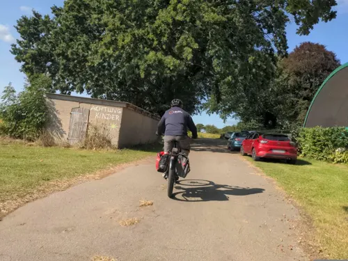
Hofladen
Farm and orchard · 5.2 km
1 Friedrichshof, Bösdorf
Fr 15:00-18:00, Sa 09:00-12:00, Sa, Su, PH 14:30-17:00

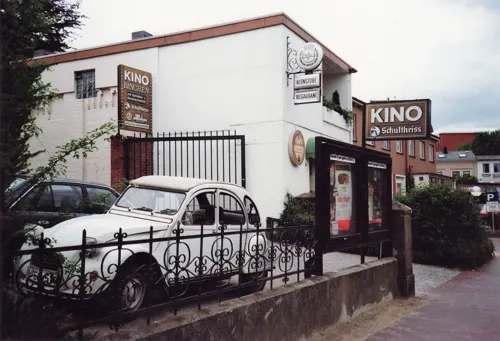

Hof achtern Diek
Farm and orchard · 3.9 km
Milchtankstelle Eier Getreide Honig Kartoffeln
Wichelskamp, Braak
Mo-Su 09:00-21:00

Obsthof Erp
Farm and orchard · 2.3 km
14 Plöner Landstraße, Eutin
Mo-Sa 09:00-18:00
Tilly's Bikestop
Scenic view · 5.4 km
13 Bahnhofstraße, Malente
Mo-Fr 09:00-13:00,14:00-18:00; Sa 13:00-16:30; PH closed



1 more on the map.
Museums and landmarks31
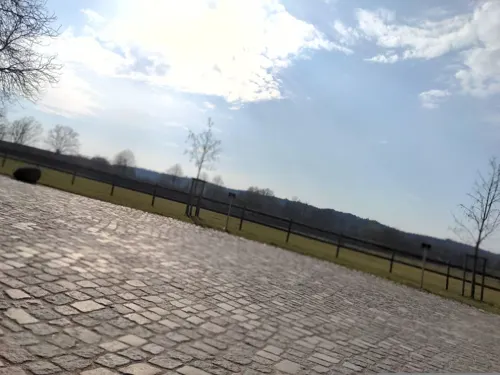


Braak Bog Figures
Monument and historic site · 3.7 km
Archaeological site in Schleswig-Holstein, Germany






19 more on the map.
Parks, trails and playgrounds17




Spielplatz Kurpark
Playground · 5.5 km
Im Wald, fester Waldboden, aber keine Spielgeräte für Rollstuhlfahrer/Fahrerinnen - deshalb würde ich sagen nicht barrierefreier Spielplätz
1 Sebastian-Kneipp-Straße, Malente

5 more on the map.
Restaurants and cafes91

Melkhus
Restaurant · Regional, German · 3.9 km
Küchenschluss an allen Tagen um 20:30 Uhr
1 Rothensande, Malente
Mo-Su,PH 07:30-10:30,12:00-14:00,14:30-17:00,18:00-22:00
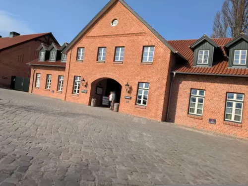
Rodesand
Restaurant · International · 3.8 km
Restaurant im Herrenhaus des Hotels Gut Immenhof
1 Rothensande, Malente
Tu-Sa 18:00+
Chau Exquisit China Restaurant
Restaurant · Chinese
2 Stolbergstraße, Eutin
Mo 12:00-15:00,17:45-22:30; We-Su 12:00-15:00,18:00-22:30
Villa Colonial
Restaurant · 5.4 km
Restaurant - Cafe - Cocktailbar
2 Hindenburgallee, Malente
Tu-Sa 12:00-22:00; Su 12:00-20:00
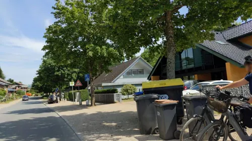
Wittenburg's Restaurant
Restaurant · 2.2 km
Über 100 Jahre Familienbesitz Gasthaus wurde 1838 erbaut. Seit 1853 wurden dort Colonialwaren" verkauft. 1902 übernahm Hermann Hopf...
41 Dorfstraße, Eutin
We off; "täglich geöffnet - von 14.00- 18.00 Mittagspause"
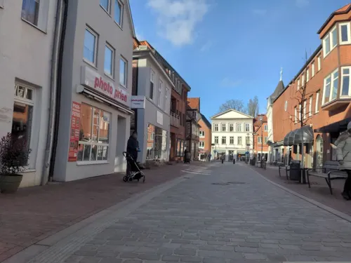
Bacchuskeller
Restaurant
2 Königstraßenpassage, Eutin
Nov-Sep: Mo-Th 12:00-14:00,18:00-22:00; Fr,Sa...


79 more on the map.
History
The name Eutin (originally Utin) is of Slavic origin. Its meaning is not quite clear; it is probably derived from the personal name "Uta". The Slavic Obotrites tribe settled eastern Holstein in the 7th/8th centuries A.D. and built a castle on Pheasant Island in the lake now called the Großer Eutiner See.
The originally Slavonic settlement of Utin was populated in the twelfth century by Dutch settlers. In 1156 Eutin became a market town. Town rights were granted in the year 1257. It later became the seat of the Prince-Bishopric of Lübeck, as Lübeck itself was an imperial free city. When the bishopric was secularized in 1803, Eutin became part of the Duchy of Oldenburg. As a result of the Greater Hamburg Act of 1937, Eutin passed from the Free State of Oldenburg to the Prussian Province of Schleswig-Holstein. After World War II, it became part of the modern Bundesland of Schleswig-Holstein.
From the History section of Eutin on Wikipedia, under CC BY-SA 4.0.
Where to stay24
Hotel Garni Hus Sünnschien
Motel and hotel · 0.8 km
13 Bürgermeister-Steenbock-Straße, Eutin
Churches and places of worship10
Königreichssaal Jehovas Zeugen
Church · Jehovahs Witness · 1.7 km
20C Alte Lübecker Landstraße, Eutin
Shopping31
Gas and EV charging6
Schools, colleges and libraries18
Berufliche Schule des Kreises Ostholstein in Eutin
School · 0.7 km
6 Wilhelmstraße, Eutin
Healthcare13
Map of Eutin
250 places. The map loads OpenStreetMap tiles when you open it.
Getting there and nearby towns
Lübeck Airport (LBC) is the nearest airport with scheduled flights listed in OpenStreetMap, 37 km away.
- Malente 5 km northwest, about 5 min by car
- Plön 12 km west, about 12 min by car
- Neustadt in Holstein 14 km east, about 14 min by car
- Scharbeutz 15 km southeast, about 15 min by car
- Ratekau 22 km south, about 22 min by car
- Preetz 24 km northwest, about 24 min by car
- Stockelsdorf 27 km south, about 27 min by car
- Lübeck 30 km south, about 30 min by car
- Kiel 37 km northwest, about 37 min by car
- Neumünster 41 km west, about 41 min by car
Drive times are estimates from straight-line distance, not routes.
Local news
Headlines from INDB.
Reviews, tips and questions
Loading what members have shared...
Sources and licences
- GeoNames (CC BY 4.0): population, coordinates, regions and time zone
- Mapillary (see each image): photos
- OpenStreetMap contributors (ODbL 1.0): places, airports, map data
- Openverse (see each image): photos
- Wikidata (CC0 1.0): elevation, founding date, time zone, website, landmarks and historic places
- Wikimedia Commons (see each image): photos
- Wikipedia (CC BY-SA 4.0): overview and history text
Photo credits
- Eutin Schloss 1, Darkone ( talk · contribs ), CC BY-SA 2.5
- Bahnhofstraße 18, Eutin, Pauli-Pirat, CC BY-SA 4.0
- Bahnhofstraße 16, Eutin, Pauli-Pirat, CC BY-SA 4.0
- Bahnhofstraße 14, Eutin, Pauli-Pirat, CC BY-SA 4.0
- Bahnhofstraße 10-18, Eutin, Häusergruppe, Pauli-Pirat, CC BY-SA 4.0
- Bahnhofstraße 12, Eutin, Pauli-Pirat, CC BY-SA 4.0
- Bahnhofstraße 10, Eutin, Pauli-Pirat, CC BY-SA 4.0
- Durchgang Bahnhofstraße zur Peterstraße, Eutin, Pauli-Pirat, CC BY-SA 4.0
- Wincent Weiss, Eutiner Köpfe, Bahnhofstraße, Eutin, Pauli-Pirat, CC BY-SA 4.0
- Erixx 826 007 Eutin 2024-05-05, Herbert Ortner, CC BY 4.0
- Bahnhofstraße 4, Eutin, Pauli-Pirat, CC BY-SA 4.0
- Bahnhofstraße 2, Eutin, Ansicht Bahnhofstraße, Pauli-Pirat, CC BY-SA 4.0
- Albert-Mahlstedt-Straße 30, Eutin (1), Pauli-Pirat, CC BY-SA 4.0
- Stolpersteine in Eutin (Eutin), Christian Michelides, CC BY-SA 4.0
- Albert-Mahlstedt-Straße 32, Eutin, Pauli-Pirat, CC BY-SA 4.0
- Albert-Mahlstedt-Straße 29 A, Eutin, Pauli-Pirat, CC BY-SA 4.0
- Albert-Mahlstedt-Straße, Häuserzeile 25-35a, Eutin, Pauli-Pirat, CC BY-SA 4.0
- In Eutin (05) Moder Grau (26757613542), Rüdiger Stehn from Kiel, Deutschland, CC BY-SA 2.0
- Eutiner Windmühle, Gastro, ehemals, Pauli-Pirat, CC BY-SA 4.0
- Mühlenkopf über der Bahnhofstraße, Eutiner Windmühle, Pauli-Pirat, CC BY-SA 4.0
- Eutiner Windmühle, Treppen zur Galerie, Pauli-Pirat, CC BY-SA 4.0
- Eutiner Windmühle, Galerie, Pauli-Pirat, CC BY-SA 4.0
- Eutiner Windmühle, Am Mühlenberg, Pauli-Pirat, CC BY-SA 4.0
- Eutiner Windmühle, Mühlenweg 5, Pauli-Pirat, CC BY-SA 4.0
- Bahnhofstraße 2 Eutin, Eckgebäude mit Statue, Pauli-Pirat, CC BY-SA 4.0
- Eutiner Windmühle, Eingang, Pauli-Pirat, CC BY-SA 4.0
- Aerial image of Eutin Castle (view from the west), Carsten Steger, CC BY-SA 4.0
- Mühle Eutin, Mühlstein, Pauli-Pirat, CC BY-SA 4.0
- Albert-Mahlstedt-Straße 38, Eutin, Pauli-Pirat, CC BY-SA 4.0
- Albert-Mahlstedt-Straße 19, Eutin, Pauli-Pirat, CC BY-SA 4.0
- Albert-Mahlstedt-Straße 17, Eutin, Pauli-Pirat, CC BY-SA 4.0
- Albert-Mahlstedt-Straße 17-19, Eutin, Pauli-Pirat, CC BY-SA 4.0
- Albert Mahlstedt-Straße 41 in Eutin, Pauli-Pirat, CC BY-SA 4.0
- Albert-Mahlstedt-Straße 42, Eutin (1), Pauli-Pirat, CC BY-SA 4.0
- Albert-Mahlstedt-Straße 42, Eutin (2), Pauli-Pirat, CC BY-SA 4.0
- Albert-Mahlstedt-Straße, Häuserzeile 11-21, Eutin, Pauli-Pirat, CC BY-SA 4.0
- Am Stadtgraben 6, Eutin, Pauli-Pirat, CC BY-SA 4.0
- Professor-Hofmeier-Gang, Eutin, Pauli-Pirat, CC BY-SA 4.0
- Kath. Kirche St. Marien, Plöner Straße 42 in Eutin (3), Pauli-Pirat, CC BY-SA 4.0
- Kath. Kirche St. Marien, Plöner Straße 42 in Eutin (1), Pauli-Pirat, CC BY-SA 4.0
- 2021-10-24 Malente (151), Restaurant "BootsHaus" an der Dieksee-Promenade, Eduard47, CC BY-SA 4.0
- Eutin Schloss Eingang, Nordenfan, CC BY-SA 4.0
- Eutin - Johann-Heinrich-Voss-Schule 1, Genet at German Wikipedia, CC BY-SA 3.0
- Malente Kurpark, Siegbert Brey, CC BY-SA 4.0
- 00 7432 Marstall des Schlosses Eutin - Landesbibliothek Eutin, W. Bulach, CC BY-SA 4.0
- Eutin - Ostholstein-Museum, Genet at German Wikipedia, CC BY-SA 3.0
- 00 7436 Eutin - Schleswig-Holstein, W. Bulach, CC BY-SA 4.0
- Die Kreisbibliothek Eutin am Schlossplatz 2, Pyjami, CC BY-SA 3.0
- Maria-Magdalenen-Kirche-Malente N, Genet at German Wikipedia, CC BY-SA 3.0
- Gut Rothensande Verwalterhaus, Achim Ebenau, CC BY-SA 4.0
- Wilhelm-Wisser-Schule, Elisabethstraße 59, Eutin, BeSe 05, CC BY-SA 4.0
- St Marien Eutin2007, VollwertBIT, CC BY-SA 3.0
- Bräutigamseiche, Pkw98, CC BY-SA 3.0
- Uklei Jagdschloss 1, Uwe Barghaan, CC BY 3.0
- Braak Bog Figures, Tieva, CC BY-SA 4.0
- Schutzhütte an der Bebensundbrücke, Werner Wanderfreund, CC0
- Rennstrecke Malente "Rund um den Kellersee", Sielbeck, Harald Gallinnis, CC BY-SA 4.0
- 2021-10-24 Malente (110), Tews-Kate, Heimatmuseum, Eduard47, CC BY-SA 4.0
- Eutin Tuffsteinhaus, Siegbert Brey, CC BY-SA 4.0
- Eutin BINCHEN - VERZEHRKINO (1990) 2, j-ostheimer, CC BY-SA 2.0
- Street-level photo, rasmustravemnd, CC BY-SA 4.0
- Street-level photo, rasmustravemnd, CC BY-SA 4.0
- Street-level photo, cm_hamburg, CC BY-SA 4.0
- Street-level photo, rasmustravemnd, CC BY-SA 4.0
- Street-level photo, rasmustravemnd, CC BY-SA 4.0
- Street-level photo, rasmustravemnd, CC BY-SA 4.0
- Street-level photo, rasmustravemnd, CC BY-SA 4.0
- Street-level photo, Dancingman, CC BY-SA 4.0
- Street-level photo, rasmustravemnd, CC BY-SA 4.0
- Street-level photo, rasmustravemnd, CC BY-SA 4.0
- Street-level photo, rasmustravemnd, CC BY-SA 4.0
- Street-level photo, rasmustravemnd, CC BY-SA 4.0
- Street-level photo, rasmustravemnd, CC BY-SA 4.0
- Street-level photo, rasmustravemnd, CC BY-SA 4.0
- Street-level photo, rasmustravemnd, CC BY-SA 4.0
- Street-level photo, rasmustravemnd, CC BY-SA 4.0
- Street-level photo, Dancingman, CC BY-SA 4.0
- Street-level photo, rasmustravemnd, CC BY-SA 4.0
- Street-level photo, rasmustravemnd, CC BY-SA 4.0
- Street-level photo, rasmustravemnd, CC BY-SA 4.0
- Street-level photo, rasmustravemnd, CC BY-SA 4.0
- Street-level photo, rasmustravemnd, CC BY-SA 4.0
- Street-level photo, rasmustravemnd, CC BY-SA 4.0
- Street-level photo, Hightower-, CC BY-SA 4.0
- Street-level photo, rasmustravemnd, CC BY-SA 4.0
- Street-level photo, rasmustravemnd, CC BY-SA 4.0


Page built November 8, 2026. Spotted a mistake? Tell us or suggest a place.