


Why visit Preetz
Townapedia lists 26 museums and landmarks, 11 parks and trails, 43 places to eat, 6 places to stay and 4 attractions in and around town.
Highlights include Capitol Cine Center, Heimatmuseum Preetz, Kleinbahn Kirchbarkau–Preetz–Lütjenburg and Halbinseln und Buchten im Lanker See.
Weather in Preetz
Forecast from MET Norway (CC BY 4.0). Full forecast
About Preetz
Preetz (German pronunciation: [ˈpʁeːts] ) is a town southeast of Kiel in the district of Plön, in Schleswig-Holstein, Northern Germany. Preetz is also known as "Schusterstadt" (English: 'shoemaker town') named after shoemakers who used to live and work in this town. Preetz has a population of about 16,000 and is the largest city in the district of Plön.
From the Wikipedia article Preetz (this version), under CC BY-SA 4.0.
Travel tips from other travellers: Preetz on Wikivoyage (CC BY-SA 4.0).
Things to do4



Museums and landmarks26


Kleinbahn Kirchbarkau–Preetz–Lütjenburg
Monument and historic site
Ehemalige Kleinbahn Kirchbarkau–Preetz–Lütjenburg


Schloß Bredeneek
Monument and historic site · 3.4 km
3 Am Schloss Bredeneek, Lehmkuhlen
Holzschuhmuseum
Museum
Schuhmacherwerkstatt, Führungen ca. 1 Stunde
17 Wakendorfer Straße, Preetz
Mo-Sa 09:00-13:00; "nach Absprache"

ehemalige Kleinbahn Kirchbarkau–Preetz–Lütjenburg
Monument and historic site · 2.5 km
Ehemalige Kleinbahn Kirchbarkau–Preetz–Lütjenburg

Forsthaus Bredeneek
Monument and historic site · 2.8 km
1 Forsthaus Bredeneek, Lehmkuhlen
Kleinbahn Kirchbarkau–Preetz–Lütjenburg
Monument and historic site · 3.6 km
Ehemalige Kleinbahn Kirchbarkau–Preetz–Lütjenburg


14 more on the map.
Parks, trails and playgrounds11






Restaurants and cafes43

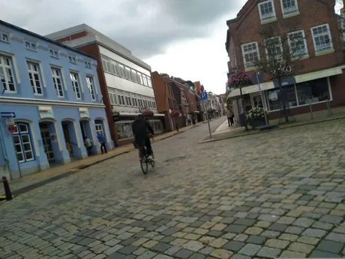
Restaurant Artemis
Restaurant · Greek
7 Schwentinestraße, Preetz
Tu-Fr 17:00-23:00;Sa-Su 11:30-14:30,17:00-22:30
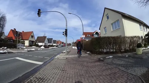
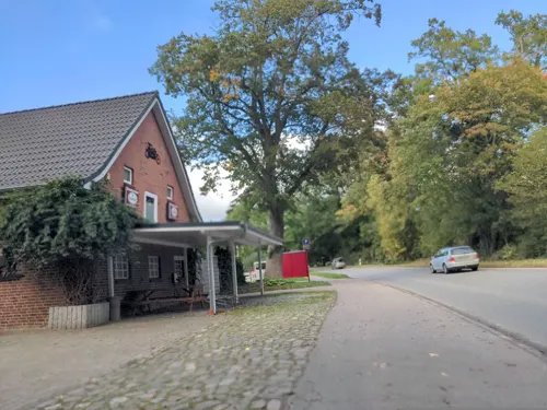
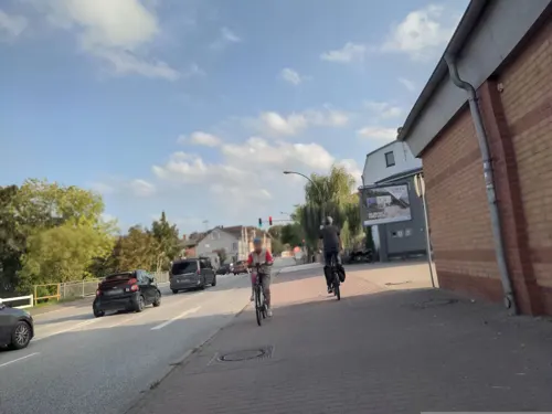

Rönnau
Bakery · 0.9 km
73 Wakendorfer Straße, Preetz
Mo-Fr 06:00-18:00; Sa 06:00-13:00; Su 07:00-11:00
Schuster
Restaurant · Local · 0.9 km
25a Kahlbrook, Preetz
Mo,We,Th 14:00-20:00; Fr,Sa 11:00-21:00; Su 11:00-19:00
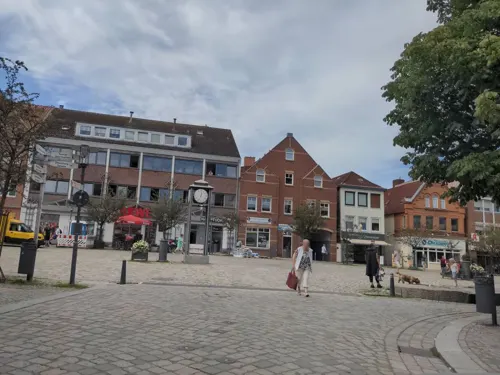

Bistro im Passader
Cafe · Bistro
16 Markt, Preetz
Mo-Tu,Th-Fr 08:00-18:00; We 08:00-16:00

Eiscafe Bertow
Ice cream · Ice Cream
3 Lange Brückstraße, Preetz
Mo-Sa 10:30-20:30; Su,PH 12:00-20:30
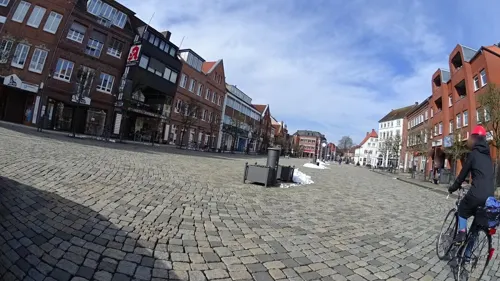


31 more on the map.
History
The first mention of Preetz dates from the year 1185, when Ecbrecht Procensis writes about the location Poretz in the Versus de Vicelino. The origins of the name Preetz are said to be found in the Slavic term "po rece" (i.e., on the river). In 1221, the term "Poretzie" appeared, and in 1442 "Pretze".
A first town church was built in 1210. In 1211, Count Albrecht von Orlamünde established a Benedictine monastery: Preetz Priory. The foundation of the abbey was renewed by Adolf IV von Schauenburg in 1226, and it was given to nuns. In 1268, the nunnery church was built. The nunnery formed the highest administrative authority until 1867 and exercised jurisdiction as well.
Preetz obtained street lighting in 1852. The station was built in 1864, the Town Hall in 1871. An oak tree in front of the Town Hall, which was planted in 1871, still exists.
Limited town rights were awarded to Preetz on 17 May 1870, full town rights in 1901.
From the History section of Preetz on Wikipedia, under CC BY-SA 4.0.
Where to stay6
Churches and places of worship8
Shopping19
Gas and EV charging2
Schools, colleges and libraries12
Healthcare6
Map of Preetz
137 places. The map loads OpenStreetMap tiles when you open it.
Getting there and nearby towns
Kiel-Holtenau airport (KEL) is the nearest airport with scheduled flights listed in OpenStreetMap, 18 km away.
- Kiel 13 km northwest, about 13 min by car
- Scharbeutz 39 km southeast, about 39 min by car
- Rendsburg 40 km west, about 40 min by car
- Ratekau 44 km southeast, about 44 min by car
- Stockelsdorf 45 km southeast, about 45 min by car
- Lübeck 49 km southeast, about 49 min by car
- Schleswig 56 km northwest, about 56 min by car
- Quickborn 61 km southwest, about 1 h by car
- Ratzeburg 68 km southeast, about 1 h 15 min by car
- Hamburg 78 km south, about 1 h 15 min by car
Drive times are estimates from straight-line distance, not routes.
Local news
Headlines from INDB.
Reviews, tips and questions
Loading what members have shared...
Sources and licences
- GeoNames (CC BY 4.0): population, coordinates, regions and time zone
- Mapillary (see each image): photos
- OpenStreetMap contributors (ODbL 1.0): places, airports, map data
- Wikidata (CC0 1.0): elevation, founding date, time zone, website
- Wikimedia Commons (see each image): photos
- Wikipedia (CC BY-SA 4.0): overview and history text
Photo credits
- PreetzTurnhalleWilhelminenschule001, Sipalius, CC BY-SA 4.0
- Friedrich-Schiller-Gymnasium Preetz - WandbildSchillerhalle001, Sipalius, CC BY-SA 4.0
- BenediktinerinnenklosterPreetz2025-10 001, Sipalius, CC BY-SA 4.0
- Preetz 3, Johan Bakker, CC BY-SA 3.0
- Gut Bredeneek, UphoffHe at de.wikipedia, CC BY-SA 3.0
- Forsthaus Bredeneek, Simmmox, CC BY-SA 4.0
- Marstall Bredeneek 2, Simmmox, CC BY-SA 4.0
- Motte Rethwisch 2, Simmmox, CC BY-SA 4.0
- Halbinseln und Buchten im Lanker See 2016, Veliensis, CC BY-SA 4.0
- Preetz Klosterhof Klosterkirche, An-d, CC BY-SA 3.0
- Preetz Kirche von Südwesten, An-d, CC BY-SA 3.0
- Preetz- -ehemaliger Kleinbahndamm - Ansicht eines Tunnels von Westen-2022-02, Sipalius, CC BY-SA 4.0
- Kloster Preetz, u3001, CC BY-SA 3.0
- Preetz - Harderpark - Gedenkstein Vertriebene, Sipalius, CC BY-SA 4.0
- Street-level photo, rasmustravemnd, CC BY-SA 4.0
- Street-level photo, sashazykov, CC BY-SA 4.0
- Street-level photo, rasmustravemnd, CC BY-SA 4.0
- Street-level photo, rasmustravemnd, CC BY-SA 4.0
- Street-level photo, rasmustravemnd, CC BY-SA 4.0
- Street-level photo, sashazykov, CC BY-SA 4.0
- Street-level photo, sashazykov, CC BY-SA 4.0
- Street-level photo, sashazykov, CC BY-SA 4.0
- Street-level photo, sashazykov, CC BY-SA 4.0
- Street-level photo, rasmustravemnd, CC BY-SA 4.0
- Street-level photo, rasmustravemnd, CC BY-SA 4.0
- Street-level photo, rasmustravemnd, CC BY-SA 4.0
- Street-level photo, rasmustravemnd, CC BY-SA 4.0
- Street-level photo, rasmustravemnd, CC BY-SA 4.0
- Street-level photo, rasmustravemnd, CC BY-SA 4.0
- Street-level photo, rasmustravemnd, CC BY-SA 4.0
- Street-level photo, rasmustravemnd, CC BY-SA 4.0
- Street-level photo, sashazykov, CC BY-SA 4.0
- Street-level photo, rasmustravemnd, CC BY-SA 4.0
- Street-level photo, rasmustravemnd, CC BY-SA 4.0
- Street-level photo, sashazykov, CC BY-SA 4.0


Page built November 8, 2026. Spotted a mistake? Tell us or suggest a place.