


Why visit Plön
Townapedia lists 16 museums and landmarks, 16 parks and trails, 51 places to eat, 19 places to stay and 12 attractions in and around town.
Highlights include Malente, Parnass Tower, Museum des Kreises Plön and Wasserturm Plön.
Weather in Plön
Forecast from MET Norway (CC BY 4.0). Full forecast
About Plön
Plön (German: [ˈpløːn] ; Holsatian: Plöön) is the district seat of the Plön district in Schleswig-Holstein, Germany, and has about 8,700 inhabitants. It lies right on the shores of Schleswig-Holstein's biggest lake, the Great Plön Lake, as well as on several smaller lakes, touching the town on virtually all sides. The town's landmark is Plön Castle, a chateau built in the 17th century on a hill overlooking the town.
From the Wikipedia article Plön (this version), under CC BY-SA 4.0.
Travel tips from other travellers: Plön on Wikivoyage (CC BY-SA 4.0).
Things to do12

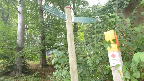
Parnass Tower
Monument and historic site · 0.6 km
Observation tower in Plön




Museums and landmarks16

Museum des Kreises Plön
Museum · 1.1 km
1 Johannisstraße, Plön
Apr-Oct: Tu-Su 10:00-12:00,14:00-17:00; Nov-Mar: Mo-Fr 14:00-17:00

Wasserturm Plön
Monument and historic site · 0.8 km
12a Scharweg, Plön


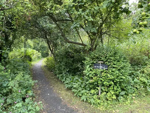

Prinzenhaus
Monument and historic site · 1.5 km
10 Schloßgebiet, Plön

Witwenpalais
Monument and historic site · 1.1 km
Witwensitz der Herzogin Dorothea Christine, später unter anderem als Waisenhaus und Hofapotheke genutzt, heute Gebäude des Kreismuseums

4 more on the map.
Parks, trails and playgrounds16

Inseln im Großen Plöner See und Halbinsel Störland
Hiking and trails · 3.9 km


Vogelfreistätte Lebrader Teich
Park · 6.4 km
Nature reserve in Schleswig-Holstein, Germany





4 more on the map.
Restaurants and cafes51
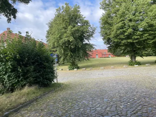
Alte Schwimmhalle
Restaurant · 1.2 km
1a Schloßgebiet, Plön
Mo,We-Fr 12:00-14:30,17:00+; Sa 17:00+; Su 12:00+; Tu off

Fährhaus Niederkleveez
Restaurant · 4.3 km
6 Am Dieksee, Bösdorf
Fr-Tu 11:30-22:00; We 13:00-20:00; Th 14:00-20:30
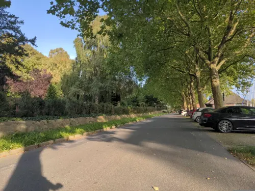
Altes Fährhaus
Restaurant · German, Spanish
4 Eutiner Straße, Plön
Tu-Fr 17:30-21:00; Sa-Su 11:30-14:00,17:30-21:00

Landgasthof Kasch
Restaurant · Regional · 4.4 km
60 Dorfstraße, Malente
We-Fr 14:00-21:00; Sa,PH 12:00-21:00; Su 12:00-20:30
Prinzeninsel
Restaurant · Regional · 3.0 km
1 Große Insel, Plön
Jan-Mar: off; Apr,Oct-Dec: We-Su 12:00-20:00; May-Sep: Tu-Su 11:00-20:00
Fishing Pirate
Bar and pub
7 Bahnhofstraße, Plön
Apr-Sep Mo-Fr 09:00-11:30,13:00-18:00; Apr-Sep Sa 08:00-15:00;...



39 more on the map.
History
In the course of the Migration Period, Slavic tribes entered the region of Plön during the early 7th century following the withdrawal of the original Germanic population. On the large island opposite Plön, which was later called Olsborg, they built a large fortification. They called their settlement Plune, which means "ice-free water".
In 1075, Kruto lured Budivoj of the Nakonids into the "castrum plunense" (according to Helmold of Bosau), laid siege to him, and then once Budivoj's men had given themselves up after Kruto's promises to let them withdraw freely, Kruto had them slain. In 1139 the Count of Holstein, Adolf II of Schauenburg, destroyed the fortress, ending the domination of the Slavs in the region of Plön. Twenty years later, Adolf II had the castle on the island rebuilt, but soon had it moved to the present hill of Schlossberg ("castle hill"). It was here, under the protection of the castle and close to the major trading route from Lübeck to the north, that a Saxon market town emerged.
In 1236, Plön was granted town rights under Lübeck law. Strategically located on a narrow isthmus between the lakes and the River Schwentine, Plön remained a centre of the County of Holstein until the Danish royal house fell in the 15th century.
From the History section of Plön on Wikipedia, under CC BY-SA 4.0.
Where to stay19
Churches and places of worship8
Sankt Antonius von Padua
Church · Roman Catholic · 0.9 km
15 Brückenstraße, Plön
Gemeinschaft in der evangelischen Kirche Plön
Church · Lutheran · 0.9 km
2 Ulmenstraße, Plön
Shopping9
Gas and EV charging4
Schools, colleges and libraries7
Healthcare2
Map of Plön
144 places. The map loads OpenStreetMap tiles when you open it.
Getting there and nearby towns
Kiel-Holtenau airport (KEL) is the nearest airport with scheduled flights listed in OpenStreetMap, 30 km away.
- Preetz 13 km northwest, about 13 min by car
- Kiel 26 km northwest, about 26 min by car
- Scharbeutz 26 km southeast, about 26 min by car
- Ratekau 31 km southeast, about 31 min by car
- Stockelsdorf 33 km southeast, about 33 min by car
- Lübeck 37 km southeast, about 37 min by car
- Rendsburg 52 km west, about 52 min by car
- Ratzeburg 56 km southeast, about 56 min by car
- Quickborn 59 km southwest, about 59 min by car
- Hamburg 74 km southwest, about 1 h 15 min by car
Drive times are estimates from straight-line distance, not routes.
Local news
Headlines from INDB.
Reviews, tips and questions
Loading what members have shared...
Sources and licences
- GeoNames (CC BY 4.0): population, coordinates, regions and time zone
- Mapillary (see each image): photos
- OpenStreetMap contributors (ODbL 1.0): places, airports, map data
- Wikidata (CC0 1.0): elevation, founding date, time zone, website, landmarks and historic places
- Wikimedia Commons (see each image): photos
- Wikipedia (CC BY-SA 4.0): overview and history text
Photo credits
- Plöner Schloss, Sören Jalas, CC BY-SA 3.0
- Feuerwehrhaus Plön - panoramio, humungoulus, CC BY 3.0
- Plöner Novembermorgen - panoramio, humungoulus, CC BY 3.0
- Treibeis Plöner Stadtbucht Richtung West - panoramio, humungoulus, CC BY 3.0
- Sprüttenhuus Plön - panoramio, humungoulus, CC BY 3.0
- Erixx 826 007 Plön 2024-05-05, Herbert Ortner, CC BY 4.0
- Großer Plöner See, teilweise eisbedeckt, Dirkjot, CC BY-SA 4.0
- Plön Richtung Ost - panoramio (1), humungoulus, CC BY 3.0
- Plön Richtung Ost - panoramio, humungoulus, CC BY 3.0
- Plön Richtung Ost - panoramio (2), humungoulus, CC BY 3.0
- Plön Richtung Ost - panoramio (3), humungoulus, CC BY 3.0
- Plön Richtung Ost - panoramio (4), humungoulus, CC BY 3.0
- MPI-EB Plön, Haider evol, CC BY-SA 4.0
- Plön Richtung Ost - panoramio (5), humungoulus, CC BY 3.0
- 2021-10-24 Malente (151), Restaurant "BootsHaus" an der Dieksee-Promenade, Eduard47, CC BY-SA 4.0
- Vogelfreistätte Lebrader Teich 1, Wusel007, CC BY-SA 3.0
- Johanniskirche - panoramio (1), humungoulus, CC BY 3.0
- Schloss Plön msu2017-9890, User:Matthias Süßen, CC BY-SA 4.0
- Plön Prinzenhaus, PodracerHH 20:15, 4 February 2007 (UTC), CC BY-SA 3.0
- Kreis-Ploen - Bismarcksaeule Waldshagen 1, Genet at German Wikipedia, CC BY-SA 3.0
- 00 7427 Plön - Holsteinische Schweiz, W. Bulach, CC BY-SA 4.0
- Erkerfiguren der Hof-Apotheke Plön, Gerd Fahrenhorst, CC BY 4.0
- Enkepalæet i Pløn, Orf3us, CC BY-SA 4.0
- Koppelsberger Kapelle 2022-08, ChristianSW, CC0
- Fahrhaus Niederkleveez 1761, Ein Dahmer, CC BY-SA 4.0
- Schloss Plön Panorama 2012, Holger.Ellgaard, CC BY-SA 3.0
- Grosser Plöner See msu2017-9930, User:Matthias Süßen, CC BY-SA 4.0
- Suhrer See 3, Wusel007, CC BY-SA 3.0
- NSG Rixdorfer Teich und Umgebung 2016 4, Veliensis, CC BY-SA 4.0
- Ploen, Witwenpalais-2, PodracerHH, CC BY-SA 3.0
- Prinzenhaus-Plön-2019-msu-8836, Matthias Süßen, CC BY-SA 4.0
- Parnassturm 2017b, Holger.Ellgaard, CC BY-SA 4.0
- Suhrer See 1, Wusel007, CC BY-SA 3.0
- Nikolaikirche-Ploen, Stefan Frerichs ( Stefan ( Diskussion ) 20:30, 18. Aug. 2014 (CEST)), CC BY-SA 3.0 de
- Friedhofsgebäude - panoramio, humungoulus, CC BY 3.0
- Richtung Lübeck - panoramio, humungoulus, CC BY 3.0
- Ehemalige Hauswirtschaftsschule - panoramio, humungoulus, CC BY 3.0
- Friedhofshaus - panoramio, humungoulus, CC BY 3.0
- Eutiner Strasse - panoramio, humungoulus, CC BY 3.0
- Wendehammer - panoramio, humungoulus, CC BY 3.0
- Astra Kino, Plön. - panoramio, Andreas Geick, CC BY-SA 3.0
- Kreuz Biberhöhe - panoramio, humungoulus, CC BY 3.0
- Street-level photo, mapnerd_dk, CC BY-SA 4.0
- Street-level photo, rasmustravemnd, CC BY-SA 4.0
- Street-level photo, rasmustravemnd, CC BY-SA 4.0
- Street-level photo, sashazykov, CC BY-SA 4.0
- Street-level photo, rasmustravemnd, CC BY-SA 4.0
- Street-level photo, rasmustravemnd, CC BY-SA 4.0
- Street-level photo, rasmustravemnd, CC BY-SA 4.0
- Street-level photo, rasmustravemnd, CC BY-SA 4.0
- Street-level photo, rasmustravemnd, CC BY-SA 4.0
- Street-level photo, rasmustravemnd, CC BY-SA 4.0
- Street-level photo, Hightower-, CC BY-SA 4.0
- Street-level photo, rasmustravemnd, CC BY-SA 4.0
- Street-level photo, rasmustravemnd, CC BY-SA 4.0
- Street-level photo, rasmustravemnd, CC BY-SA 4.0
- Street-level photo, jochenb, CC BY-SA 4.0
- Street-level photo, root2, CC BY-SA 4.0
- Street-level photo, rasmustravemnd, CC BY-SA 4.0
- Street-level photo, zuse, CC BY-SA 4.0
- Street-level photo, rasmustravemnd, CC BY-SA 4.0
- Street-level photo, thetornado76, CC BY-SA 4.0
- Street-level photo, rasmustravemnd, CC BY-SA 4.0
- Street-level photo, mapnerd_dk, CC BY-SA 4.0


Page built November 8, 2026. Spotted a mistake? Tell us or suggest a place.