


Why visit Fehmarn
Townapedia lists 47 museums and landmarks, 43 parks and trails, 148 places to eat, 48 places to stay and 13 attractions in and around town.
Highlights include Meereszentrum Fehmarn, Burg Film Theater, Galileo Wissenswelt Technik + Naturkunde and Inselbahn Fehmarn.
Weather in Fehmarn
Forecast from MET Norway (CC BY 4.0). Full forecast
About Fehmarn
Fehmarn (German: [ˈfeːmaʁn] ; Danish: Femern; from Old Wagrian Slavic "Fe More", meaning "In the Sea") is an island in the Baltic Sea, off the eastern coast of Germany's northernmost state of Schleswig-Holstein. It is Germany's third-largest island, after Rügen and Usedom. Fehmarn is separated from the German peninsula of Wagria in Holstein by the Fehmarn Sound, and from the southern Danish island of Lolland by the Fehmarn Belt. It is connected to the Holsatian mainland by the Fehmarn Sound Bridge.
From the Wikipedia article Fehmarn (this version), under CC BY-SA 4.0.
Travel tips from other travellers: Fehmarn on Wikivoyage (CC BY-SA 4.0).
Things to do13

Meereszentrum Fehmarn
Zoo and aquarium · 1.2 km
12 Gertrudenthaler Straße, Fehmarn
Mar-Oct 10:00-18:00; Nov-Feb We-Su 11:00-17:00
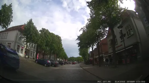


Schmetterlingspark
Zoo and aquarium · 1.3 km
11a Mummendorfer Weg, Fehmarn
Apr-Jun 10:30-17:30;Jul-Aug 10:00-18:00;Sep 10:00-17:30;Oct...



Leuchtturm Staberhuk
Lighthouse · 8.5 km
Leuchtturm Staberhuk auf Fehmarn


1 more on the map.
Museums and landmarks47

Galileo Wissenswelt Technik + Naturkunde
Museum · 1.4 km
48 Landkirchener Weg, Fehmarn
Nov-Mar Sa,Su 10:00-16:00;Apr-Sep 10:00-18:00;Oct 10:00-16:00; Dec...


Peter Wiepert Heimatmuseum
Museum
49 Breite Straße, Fehmarn
Tu-Sa 11:00-16:00

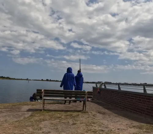


Eduard Nebelthau
Monument and historic site · 2.8 km
Ehemaliges Rettungsboot, im Einsatz von 1972 bis 2000 in Travemünde und Heiligenhafen, zuletzt bis 2019 als Schulungsboot an der SAR...

Großsteingrab Staberdorf
Monument and historic site · 5.6 km
Megalithgrab


Langbett Großenbrode
Monument and historic site · 8.3 km
Megalith: Langbett mit 97x4m, am Nordende ist einer von drei Wächtersteinen erhalten

35 more on the map.
Parks, trails and playgrounds43

FehMare Erlebnisbad
Sports field and stadium · 3.1 km
Badespaß im Meerwasser-Hallenbad auf Fehmarn Tauchen Sie ein ins FehMare - Erleben Sie unsere Bäderlandschaften
6 Zur Strandpromenade, Fehmarn
Mo-Su 08:00-20:00

Seglerverein Lemkenhafen Fehmarn
Marina and boat launch · 6.9 km



Wallnau / Fehmarn
Park · 11.8 km
Nature reserve in Schleswig-Holstein, Germany
Galileo Wissenswelt - Ausstellung Übersee + Dunkelexperiment
Sports field and stadium · 1.8 km
71 Hafenstraße, Fehmarn


Marina Fehmarnsund - Bootswerft Schaich
Marina and boat launch · 6.2 km
31 more on the map.
Restaurants and cafes148


Landhaus Kröger
Restaurant · Regional
10 Breite Straße, Fehmarn
Sep-Apr 11:00-14:30,17:30-21:00; Sep-Apr Mo off; May-Aug:...
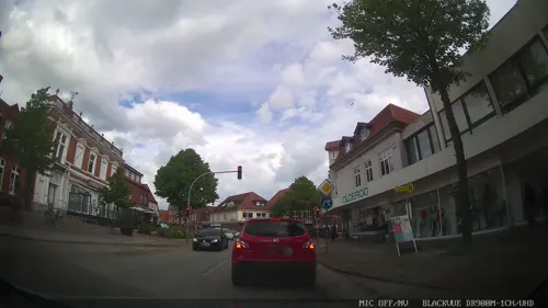
Café liebevoll & KULTurlabor
Cafe · Breakfast, Coffee, Cake
Frühstück national bis international von 9-18 Uhr An Veranstaltungstagen länger geöffnet
17 Bahnhofstraße, Fehmarn
09:00-17:00
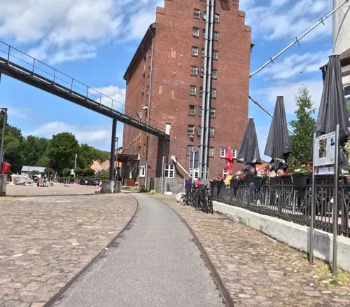
Zum goldenen Anker
Restaurant · Fish, German, Regional · 1.8 km
63 Burgstaaken, Fehmarn
Mo-Su 11:30-23:00

Allee-Café Katharinenhof
Cafe · Coffee Shop, Cake · 5.0 km
3 Katharinenhof, Fehmarn
Mo-Fr 11:00+; Sa,Su 08:30+

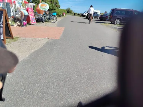
Die kleine Kaffeestube
Cafe · Coffee Shop, Cake · 9.4 km
15 Alte Hauptstraße, Fehmarn
Mo-Tu 13:00-17:30; We-Th off; Fr-Su 09:30-17:30

Hofcafe Bisdorf
Bar and pub · 4.5 km
"Kaffe & Kuchen. Getränke. Kleinse Speisen"
15 Bisdorf
Mo-Su 14:00-18:00
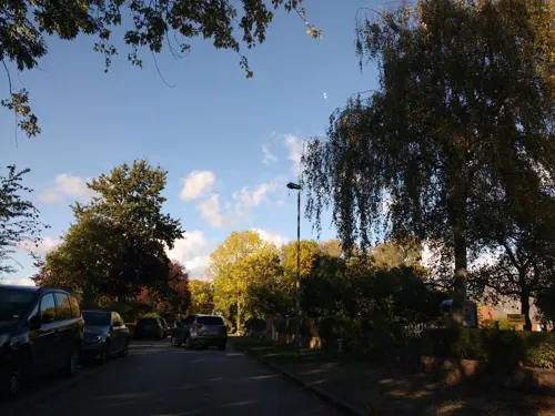


Hofcafé Albertsdorf
Cafe · Coffee Shop, Cake, Breakfast · 5.7 km
13 Albertsdorf, Fehmarn
Mo-Tu off; We-Fr 11:00-18:00; Sa-Su 07:00-18:00
Hofcafé Klausdorf & Hofladen
Cafe · Coffee Shop, Cake, Sandwich · 4.3 km
30 Dorfstraße, Fehmarn
Mar-Aug: Mo-Su 07:00-18:00; Sep-Oct: Mo 07:00-12:00; Tu-Su 07:00-18:00
136 more on the map.
History
Earlier names of the island are Femera, Fimbria, Cimbria parva, and Imbra. As a part of Wagria, it was settled by the Slavic Lechitic tribe of Wagri in the Early Middle Ages. Fehmarn is one of the westernmost places of the former contiguous settlement area of the Slavs, and the westernmost island with a former Slavic settlement. The name of the island itself derives from the Polabian fe more (in the sea), modern v more, and has the same etymological background as Pomerania, deriving from po more, at the sea. Puttgarden is also a Slavic name, deriving from pod gard, which means under the castle (on Rügen there is a village with the same etymological background, evolving into the modern form Putgarten).
Other Slavic-founded villages on Fehmarn are Bannesdorf, Dänschendorf, Gahlendorf, Gammendorf-Siedendorf, Gollendorf, Hinrichsdorf, Klausdorf, Kopendorf, Lemkendorf, Meeschendorf, Püttsee, Sahrensdorf, Schlagsdorf, Sulsdorf and Vitzdorf. The villages of Bisdorf, Presen and Staberdorf are either Slavic-founded or founded by Germanic colonists from Holstein, Dithmarschen, Frisia, Lower Saxony and Denmark, who settled the island from around 1200 onwards. The Slavs inhabiting the island were gradually Christianized and Germanized.
From the History section of Fehmarn on Wikipedia, under CC BY-SA 4.0.
Where to stay48
Churches and places of worship8
Shopping48
Gas and EV charging6
Schools, colleges and libraries8
Healthcare6
Südstrand-Klinik Fehmarn / Kinder-Rehabilitation
Clinic and pharmacy · 3.1 km
3 Südstrandpromenade, Fehmarn
Map of Fehmarn
250 places. The map loads OpenStreetMap tiles when you open it.
Getting there and nearby towns
Kiel-Holtenau airport (KEL) is the nearest airport with scheduled flights listed in OpenStreetMap, 68 km away.
- Neustadt in Holstein 44 km southwest, about 44 min by car
- Eutin 51 km southwest, about 51 min by car
- Malente 51 km southwest, about 51 min by car
- Scharbeutz 54 km southwest, about 54 min by car
- Plön 58 km southwest, about 58 min by car
- Ratekau 62 km southwest, about 1 h by car
- Preetz 63 km west, about 1 h by car
- Kiel 70 km west, about 1 h 15 min by car
- Lübeck 71 km southwest, about 1 h 15 min by car
- Rostock 73 km southeast, about 1 h 15 min by car
Drive times are estimates from straight-line distance, not routes.
Local news
Headlines from INDB.
Reviews, tips and questions
Loading what members have shared...
Sources and licences
- GeoNames (CC BY 4.0): population, coordinates, regions and time zone
- Mapillary (see each image): photos
- OpenStreetMap contributors (ODbL 1.0): places, airports, map data
- Wikidata (CC0 1.0): elevation, founding date, time zone, website, landmarks and historic places
- Wikimedia Commons (see each image): photos
- Wikipedia (CC BY-SA 4.0): overview and history text
Photo credits
- Küste Fehmarn Süd, Peter Wippermann – Pentius, CC BY-SA 3.0
- Burg auf Fehmarn, das Heimatmuseum, Dguendel, CC BY 4.0
- Infocenter Fehmarnbelt-Tunnel in Burg auf Fehmarn, Thomas Kroemer, CC BY-SA 4.0
- Fehmarn-Burg - panoramio, Willi Heidelbach, CC BY-SA 3.0
- Burg auf Fehmarn, on the churchyard of Saint Nikolai church, Dguendel, CC BY 4.0
- Altar St Nikolai Fehmarn, Sascha Heinze, CC BY-SA 4.0
- Höhenmarke Burg auf Fehmarn (Ur-Nivellement), Ulrich Kulle, CC BY-SA 4.0
- Fehmarn-Museum Burg auf Fehmarn, Unukorno, CC BY 4.0
- Nikolaikirche (Burg auf Fehmarn) 1990er (03) (51389815821), Rüdiger Stehn from Kiel, Deutschland, CC BY-SA 2.0
- Nikolaikirche (Burg auf Fehmarn) 1990er (06) (51557190584), Rüdiger Stehn from Kiel, Deutschland, CC BY-SA 2.0
- Nikolaikirche (Burg auf Fehmarn) 1990er (05) (51390541109), Rüdiger Stehn from Kiel, Deutschland, CC BY-SA 2.0
- Gedenktafel Breite Str 47 (Burg auf Fehmarn) St Nicolai Kirche2, OTFW , Berlin, CC BY-SA 3.0
- Gedenktafel Breite Str 47 (Burg auf Fehmarn) St Nicolai Kirche, OTFW , Berlin, CC BY-SA 3.0
- Nikolaikirche (Burg auf Fehmarn) 1990er (02) (51390547834), Rüdiger Stehn from Kiel, Deutschland, CC BY-SA 2.0
- Burg auf Fehmarn, das Heimatmuseum-2, Dguendel, CC BY 4.0
- Burg auf Fehmarn, das Heimatmuseum-3, Dguendel, CC BY 4.0
- Fehmarn Burg St Nikolai statue Saint Anthony, Arnoldius, CC BY-SA 3.0
- Gedenktafel Breite Str 13 (Burg auf Fehmarn) Hans Mildenstein, OTFW , Berlin, CC BY-SA 3.0
- Gedenktafel Breite Str 49-51 (Burg auf Fehmarn) Lord Strang of Stonesfield, OTFW , Berlin, CC BY-SA 3.0
- Burg auf Fehmarn, Haus Breite Straße 28, Dguendel, CC BY 4.0
- Burg auf Fehmarn, Kirche St. Nikolai, Kreuzigungsgruppe, Dguendel, CC BY 4.0
- Burg auf Fehmarn, Kirche St. Nikolai, Taufe aus Bronze, Dguendel, CC BY-SA 4.0
- Fehmarnsund Ostsee (50705721132), Federal Waterways Engineering and Research Institute, CC BY 2.0
- Wallnau area, Hartmut Inerle, CC BY-SA 3.0
- Burg Glambek Ruine 01, Thomas Wolters, Public domain
- ARWED EMMINGHAUS 5558, Ein Dahmer, CC BY-SA 4.0
- Bundesarchiv DVM 10 Bild-23-63-20, Segelschulschiff "Niobe", Unknown Unknown, CC BY-SA 3.0 de
- Fehmarn - Landkirchen - Kirche, Genet, CC BY-SA 3.0
- EDUARD NEBELTHAU 5180, Ein Dahmer, CC BY-SA 4.0
- Leuchtturm Strukkamphuk 2013b, Holger.Ellgaard, CC BY-SA 3.0
- Fehmarn Staberhuk Leuchtturm, Oberlausitzerin64, CC BY-SA 4.0
- St.-Jürgen-Kapelle (Burg auf Fehmarn)111, Torbenbrinker, CC BY-SA 3.0
- Grossenbrode Huenengrab d, Holger rix, CC BY-SA 3.0
- Fehmarn Marienleuchte Leuchtturm alt, Oberlausitzerin64, CC BY-SA 4.0
- Grosssteingrab Staberdorf (5), Bahnmoeller, CC BY-SA 3.0
- Meereszentrum Fehmarn, Thomas Kroemer, CC BY-SA 4.0
- Lemkenhafen Muehlenmuseum, Unukorno, CC BY 4.0
- Galileo Front, Fembi, CC BY-SA 4.0
- 2016-10-31-Kohlhof-Insel, Fabian Horst, CC BY-SA 4.0
- Grossenbrode 2006 095, S.Möller, Public domain
- Breite Straße 10, Burg auf Fehmarn, Gerd Fahrenhorst, CC BY 4.0
- Burg auf Fehmarn, Restaurant "Pizzeria Doppeleiche", Dguendel, CC BY 4.0
- Burgruine Glambek 2014a, Holger.Ellgaard, CC BY-SA 3.0
- Charolaisrinder im Naturschutzgebiet "Grüner Brink" Bild-Nr.100 2200, Francis Bee, CC BY-SA 3.0
- Fehmarn - Petersdorf - Kirche - S, Genet at German Wikipedia, CC BY-SA 3.0
- Karte Inselbahn Fehmarn, NordNordWest, CC BY-SA 3.0
- Burg StNicolai n O, Beckstet, CC BY-SA 3.0
- Fehrmarn Strukkamphuk Leuchtturm, Oberlausitzerin64, CC BY-SA 4.0
- Street-level photo, chuck, CC BY-SA 4.0
- Street-level photo, chuck, CC BY-SA 4.0
- Street-level photo, chuck, CC BY-SA 4.0
- Street-level photo, chuck, CC BY-SA 4.0
- Street-level photo, b166er, CC BY-SA 4.0
- Street-level photo, thetornado76, CC BY-SA 4.0
- Street-level photo, redleo85, CC BY-SA 4.0
- Street-level photo, chuck, CC BY-SA 4.0
- Street-level photo, b166er, CC BY-SA 4.0
- Street-level photo, thetornado76, CC BY-SA 4.0
- Street-level photo, chuck, CC BY-SA 4.0
- Street-level photo, b166er, CC BY-SA 4.0
- Street-level photo, chuck, CC BY-SA 4.0
- Street-level photo, chuck, CC BY-SA 4.0
- Street-level photo, thetornado76, CC BY-SA 4.0
- Street-level photo, chuck, CC BY-SA 4.0
- Street-level photo, b166er, CC BY-SA 4.0
- Street-level photo, chuck, CC BY-SA 4.0
- Street-level photo, saschahaberkorn, CC BY-SA 4.0
- Street-level photo, chuck, CC BY-SA 4.0
- Street-level photo, chuck, CC BY-SA 4.0
- Street-level photo, redleo85, CC BY-SA 4.0
- Street-level photo, chuck, CC BY-SA 4.0
- Street-level photo, redleo85, CC BY-SA 4.0


Page built November 8, 2026. Spotted a mistake? Tell us or suggest a place.