


Why visit Flieden
Townapedia lists 17 museums and landmarks, 14 parks and trails, 42 places to eat, 4 places to stay and 25 attractions in and around town.
Highlights include WernerGut, Fulder Berg, Hundsgraben bei Elm and Liebigstraße.
Weather in Flieden
Forecast from MET Norway (CC BY 4.0). Full forecast
About Flieden
Flieden is a municipality in the district of Fulda, in Hesse, Germany.
From the Wikipedia article Flieden (this version), under CC BY-SA 4.0.
Things to do25


BioGut Benkner
Farm and orchard · 4.7 km
10 Am Mühlenbach, Neuhof
Biohof Gans und Quitte
Farm and orchard · 2.9 km
7 Kautz, Flieden
13 more on the map.
Museums and landmarks17


5 more on the map.
Parks, trails and playgrounds14


2 more on the map.
Restaurants and cafes42

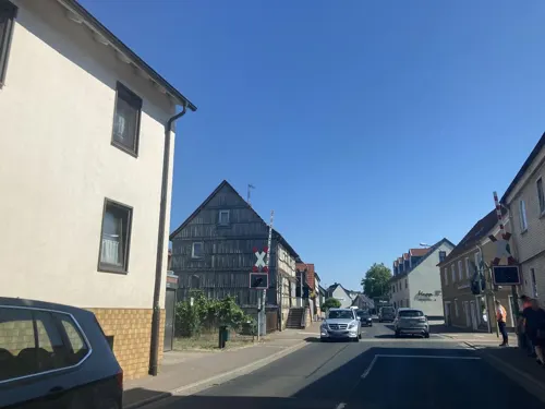
Eiscafè & Pizzeria Casa Linda
Cafe · Ice Cream, Pizza · 4.9 km
6 Fuldaer Straße, Neuhof
Mo-Su 11:00-23:00
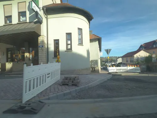
Gasthaus Zentrum
Restaurant · German
24 Zentstraße, Flieden
Tu,Th,Fr 17:30+; Sa 15:30+; Su,PH 11:00-14:00, 17:30+

Gasthof Deutsches Haus
Restaurant · German, Burger · 4.8 km
4 Marktstraße, Neuhof
We-Sa 17:00-00:00; Su 11:30-14:00,17:00-24:00
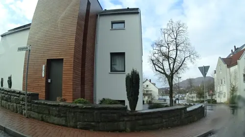
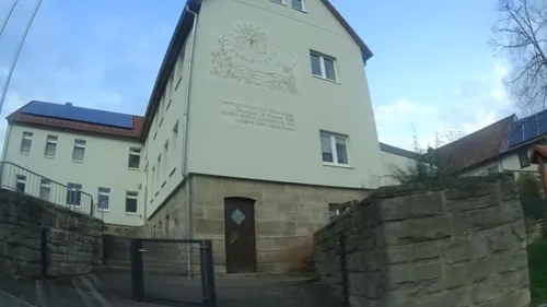
Landhotel Imhof
Restaurant · Regional · 3.1 km
4 Hauswurzer Straße, Neuhof
Mo-Su 09:00-14:00,17:00-24:00; Tu off
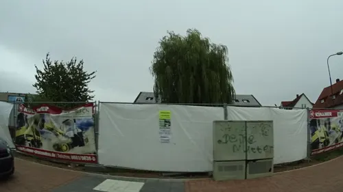
Pizzeria Europa
Restaurant · Pizza, Italian · 4.7 km
7 Frankfurter Straße, Neuhof
Tu-Sa 17:00-22:00; Su,PH 12:00-14:00,17:00-22:00
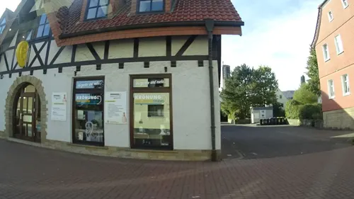
Bäckerei Happ
Cafe · 5.0 km
13 Fuldaer Straße, Neuhof
Mo-Fr 05:00-19:00; Sa 05:00-18:00; Su 07:00-18:00
Landgasthof Druschel
Restaurant · 5.9 km
14 Hochstraße, Schlüchtern
PH,We-Mo 17:00-21:00, PH,Sa,Su 11:30-14:00
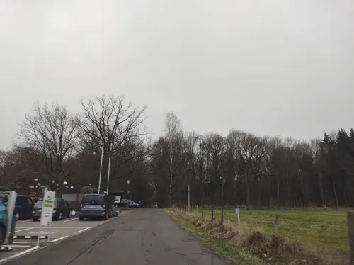
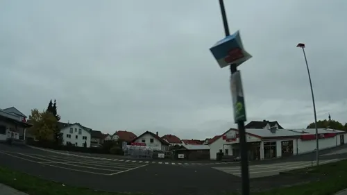
Bäckerei Happ
Bakery
23 Schlüchterner Straße, Flieden
Mo-Sa 07:00-21:00


Das Pizzahaus
Restaurant · Pizza · 5.1 km
25 Hauptstraße, Kalbach
PH,Mo-Su 17:00-22:00; Tu off
30 more on the map.
History
In 806 Flieden was first mentioned as “Mark Flieden” in a deed of donation to the monastery of Fulda.
In the Middle Ages Flieden was located at the Via Regia from Frankfurt am Main to Leipzig which was a very important country and military road in the Holy Roman Empire.
In 1868, Flieden station was opened with the Kinzig Valley Railway. The mountains between Flieden and Schlüchtern initially led to the decision to build a zig zag line in order to avoid building an almost 4 km long tunnel. This required all through trains to reverse at Elm, which led to increasing congestion as traffic increased with the connection of the Flieden–Gemünden railway to the line at Elm in 1873. Tunnel-building technology had improved significantly by the beginning of the 20th century, notably with the increased availability of dynamite. Thus in 1909 construction of the Schlüchtern tunnel began under Distelrasen; it was completed on 14 February 1914 and put into operation on 1 May. In 2009 a second tube was opened and the old tunnel is now being rebuilt as a single-track tunnel.
At the end of World War II about 1000 displaced persons from the former eastern territories of Germany settled in Flieden.
From the History section of Flieden on Wikipedia, under CC BY-SA 4.0.
Where to stay4
Churches and places of worship20
Evangelische Kirche Neuhof
Church · Protestant · 5.0 km
1 Albert-Schweitzer-Straße, Neuhof
Shopping10
Gas and EV charging11
Schools, colleges and libraries9
Healthcare6
Map of Flieden
158 places. The map loads OpenStreetMap tiles when you open it.
Getting there and nearby towns
Fritzlar Air Base (FRZ) is the nearest airport with scheduled flights listed in OpenStreetMap, 79 km away.
- Neuhof 5 km northeast, about 5 min by car
- Schlüchtern 9 km south, about 9 min by car
- Hosenfeld 11 km northwest, about 11 min by car
- Eichenzell 12 km northeast, about 12 min by car
- Steinau an der Straße 14 km southwest, about 14 min by car
- Fulda 16 km northeast, about 16 min by car
- Künzell 17 km northeast, about 17 min by car
- Grebenhain 18 km northwest, about 18 min by car
- Großenlüder 19 km north, about 19 min by car
- Bad Soden-Salmünster 22 km southwest, about 22 min by car
Drive times are estimates from straight-line distance, not routes.
Local news
Headlines from INDB.
Reviews, tips and questions
Loading what members have shared...
Sources and licences
- GeoNames (CC BY 4.0): population, coordinates, regions and time zone
- Mapillary (see each image): photos
- OpenStreetMap contributors (ODbL 1.0): places, airports, map data
- Wikidata (CC0 1.0): elevation, founding date, time zone, website
- Wikimedia Commons (see each image): photos
- Wikipedia (CC BY-SA 4.0): overview and history text
Photo credits
- St. Goar, Flieden - Ostblick, $traight-$hoota, CC BY-SA 3.0
- Flieden, Kirche vom Tegut-Parkplatz, $traight-$hoota, CC BY-SA 3.0
- Flieden-Panorama Süd-West, $traight-$hoota, CC BY-SA 3.0
- St. Goar Flieden - Hauptschiff mit Orgel, Johannes Müller, CC BY-SA 4.0
- St. Goar Flieden - Josefsaltar, Johannes Müller, CC BY-SA 4.0
- St. Goar Flieden - Marienaltar, Johannes Müller, CC BY-SA 4.0
- St. Goar Flieden - Kanzel, Johannes Müller, CC BY-SA 4.0
- St. Goar Flieden - Kuppel, Johannes Müller, CC BY-SA 4.0
- St. Goar Flieden - Chorraum, Johannes Müller, CC BY-SA 4.0
- Kirche Synagoge Flieden - Gedenktafel, FauleBirne 007, CC BY 4.0
- Kirche Synagoge Flieden - Kirchenraum, FauleBirne 007, CC BY 4.0
- Kirche Synagoge Flieden - Altarraum, FauleBirne 007, CC BY 4.0
- Kirche Synagoge Flieden - Kirchenraum III, FauleBirne 007, CC BY 4.0
- Kirche Synagoge Flieden - Kirchenraum II, FauleBirne 007, CC BY 4.0
- Kirche Synagoge Flieden - Orgel, FauleBirne 007, CC BY 4.0
- Kirche Synagoge Flieden - Außen I, FauleBirne 007, CC BY 4.0
- Kirche Synagoge Flieden - Außen II, FauleBirne 007, CC BY 4.0
- Flieden Protestant Church df, UuMUfQ, CC BY-SA 3.0
- Flieden Protestant Church f, UuMUfQ, CC BY-SA 3.0
- Grasmücken in Flieden, $traight-$hoota, CC BY-SA 3.0
- Flieden Flieden Paddelteich SE, UuMUfQ, CC BY-SA 3.0
- Flieden, Paddelteich, $traight-$hoota, CC BY-SA 3.0
- Clp 20240404 Bf Flieden EG Straßenseite 1, Christian Liebscher, CC BY-SA 4.0
- Clp 20240404 Bf Flieden EG Straßenseite 2, Christian Liebscher, CC BY-SA 4.0
- Clp 20240404 Bf Flieden EG und Bstg 2+3, Christian Liebscher, CC BY-SA 4.0
- Clp 20240404 Bf Flieden Bstg 7+8, Christian Liebscher, CC BY-SA 4.0
- Flieden-Panorama vom Weinberg, Johannes Müller, CC BY-SA 3.0
- St. Goar Flieden, Frontportal, Johannes Müller, CC BY-SA 3.0
- Flieden Synagoge, Unknown author Unknown author, Public domain
- Flieden Doengesmuehle Church df, UuMUfQ, CC BY-SA 3.0
- St.-Laurentius-Niederkalbach1, Rhönforscher, CC BY-SA 4.0
- Evang. Kirche Neuhof, FauleBirne 007 (changes by Rabanus Flavus ), CC BY 4.0
- Fliede (Kautzer Wasser), Freak-Line-Community, CC BY-SA 3.0
- Street-level photo, ramap, CC BY-SA 4.0
- Street-level photo, ramap, CC BY-SA 4.0
- Street-level photo, ramap, CC BY-SA 4.0
- Street-level photo, tasmaniadevil, CC BY-SA 4.0
- Street-level photo, ramap, CC BY-SA 4.0
- Street-level photo, thetornado76, CC BY-SA 4.0
- Street-level photo, ramap, CC BY-SA 4.0
- Street-level photo, nrailuj, CC BY-SA 4.0
- Street-level photo, ramap, CC BY-SA 4.0
- Street-level photo, tasmaniadevil, CC BY-SA 4.0
- Street-level photo, nrailuj, CC BY-SA 4.0
- Street-level photo, thetornado76, CC BY-SA 4.0
- Street-level photo, tasmaniadevil, CC BY-SA 4.0
- Street-level photo, ramap, CC BY-SA 4.0
- Street-level photo, ramap, CC BY-SA 4.0
- Street-level photo, ramap, CC BY-SA 4.0
- Street-level photo, mfa, CC BY-SA 4.0
- Street-level photo, miguel_andrade, CC BY-SA 4.0
- Street-level photo, curtisnewton, CC BY-SA 4.0
- Street-level photo, ramap, CC BY-SA 4.0
- Street-level photo, DerMaster0815, CC BY-SA 4.0


Page built November 9, 2026. Spotted a mistake? Tell us or suggest a place.