


Freudenstadt, Germany
Freudenstadt is a town of 23,868 people in Baden-Wurttemberg, Germany, founded in 1599.
Why visit Freudenstadt
Townapedia lists 56 museums and landmarks, 60 parks and trails, 149 places to eat, 71 places to stay and 46 attractions in and around town.
Highlights include Central Kino, Friedrichsturm, Heimatmuseum Altes Rathaus and Experimenta Freudenstadt.
Weather in Freudenstadt
Forecast from MET Norway (CC BY 4.0). Full forecast
About Freudenstadt
Freudenstadt (German pronunciation: [ˈfʁɔʏdn̩ˌʃtat] ; Swabian: Fraidestadt) is a town in Baden-Württemberg in southern Germany. It is the capital of the district Freudenstadt. The closest population centres are Offenburg to the west (approx. 36 km away) and Tübingen to the east (approx.
From the Wikipedia article Freudenstadt (this version), under CC BY-SA 4.0.
Things to do46






34 more on the map.
Museums and landmarks56
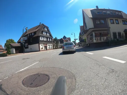
Heimatmuseum Altes Rathaus
Museum · 6.7 km
15 Hauptstraße, Loßburg
We 14:00-16:30; Su 14:00-17:00 || "in den Wintermonaten nur Sonntags"

Experimenta Freudenstadt
Museum
Das ErlebnisMuseum - Das verrückte ErlebnisMuseum zum Mitmachen und Ausprobieren - verblüffend und überraschend!
6 Musbacher Straße, Freudenstadt
Mo-Su 10:00-18:00
Hauffs Märchen Museum Baiersbronn
Museum · 5.0 km
We,Sa,Su 14:00-17:00



Stadthaus
Museum
65 Marktplatz, Freudenstadt
Mo,Tu,Th,Fr 14:30-18:00;We off;Tu,Fr 10:00-12:00
44 more on the map.
Parks, trails and playgrounds60

Panorama Freibad
Sports field and stadium · 0.7 km
Freibad
60 Ludwig-Jahn-Straße, Freudenstadt
Mo 10:00-20:00; Tu-Sa 06:00-20:00; Su 08:00-20:00
Panorama-Bad
Sports field and stadium · 0.7 km
60 Ludwig-Jahn-Straße, Freudenstadt
Mo 10:00-22:00; Tu-Sa 08:00-22:00; PH,Su 08:00-20:00


Schwimmbad Wittlensweiler
Sports field and stadium · 2.6 km
9 Höhenweg, Freudenstadt
Mo 18:30-21:00; Tu 06:45-07:45,14:30-20:00; We 17:00-20:30; Th...


Mehrgenerationenpark
Park · 6.8 km
Mo-Su,PH 07:00-21:00; "in den Wintermonaten bis zur Dämmerung"

Friend´s GmbH Indoor-Spielpark
Playground · 1.6 km
136 Karl-von-Hahn-Straße, Freudenstadt
Naturerlebnisbad Glatten
Sports field and stadium · 7.8 km
51 Lombacher Straße, Glatten
48 more on the map.
Restaurants and cafes149

Seidtenhof
Restaurant · Regional · 6.4 km
SB-Hofladen / Hofladen mit Bedienung nur Samstags 10-14 Uhr
46 Reichenbacher Weg, Baiersbronn
Su,PH 12:00-19:00
Akropolis
Restaurant · Greek · 1.1 km
Sehr gute! Alternative zur Bahnhofswartehalle
Tu-Su 11:00-14:00,17:00-23:00
Bären
Restaurant · German
33 Lange Straße, Freudenstadt
Tu,We 18:00-22:00; Fr,Sa 18:00-22:00; Su 11:45-14:30
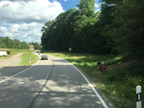

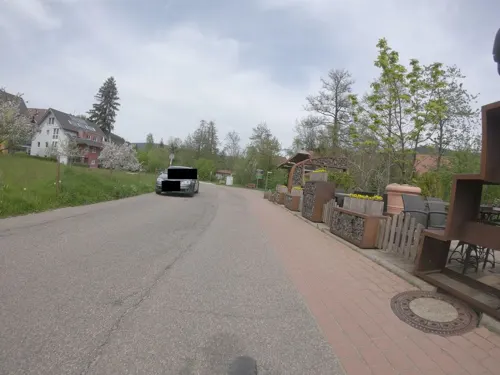
Flößer-Schänke
Restaurant · Regional, Italian · 5.2 km
35 Sankenbachstraße, Baiersbronn
Mo-Su 16:00-23:00
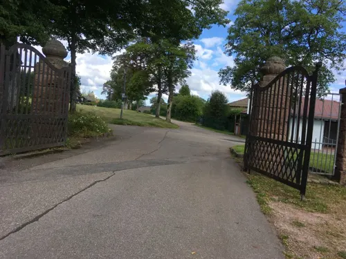


Friedrichs am Kienberg
Restaurant · Regional · 1.5 km
33 Herzog-Friedrich-Straße, Freudenstadt
May-Aug Tu-Su 11:00-20:00; Sep We-Su 11:00-20:00; Oct-Apr We-Su 11:00-18:00
Osteria D'Orazio
Restaurant · Italian · 0.7 km
10 Lauterbadstraße, Freudenstadt
Mo-Sa 17:00-23:30; Tu off; Su 12:00-15:00,17:00-22:00
Pizza Express il pianeta
Restaurant · Italian
13 Stuttgarter Straße, Freudenstadt
Mo-Fr 11:00-14:00,17:00-22:00; Sa,Su 11:00-22:00
Prima Fila, Pizzeria
Restaurant · Italian
15 Marktplatz
Tu-Th 11:30-14:45, 17:30-22:00; Fr-Sa 11:30-14:45, 17:30-22:45; Su...
137 more on the map.
History
The building of Freudenstadt was ordered by Frederick of Württemberg in 1599 with the initial population largely being made up of many of the 11,000 Protestants who left the Inner Austrian provinces by force or through self-exile beginning in 1598. The designer was architect Heinrich Schickhardt.
In 1799 the monastery in Kniebis was burned down by the French. Because of the Württemberg foundation, Freudenstadt was almost entirely Protestant for a long time. The young church belonged to the dean's office as well as the church district Herrenberg within the Evangelical-Lutheran Church in Württemberg.
From the History section of Freudenstadt on Wikipedia, under CC BY-SA 4.0.
Where to stay71
Churches and places of worship39
Münsterkirche
Church · Protestant · 6.6 km
164 Murgtalstraße, Baiersbronn
Shopping51
Gas and EV charging19
AVIA Xpress Automatenstation
Gas station · 1.8 km
72 Wittlensweilerstraße, Freudenstadt
Schools, colleges and libraries28
Heinrich-Schickhardt-Schule (Gewerblich-Technische Schulen)
School
40 Eugen-Nägele-Straße, Freudenstadt
Brüder-Grimm-Schule Glatten - Sprachheilschule
School · 7.8 km
1 Schulstraße, Glatten
Eduard-Spranger-Schule (Kaufmännische Schulen)
School
40 Eugen-Nägele-Straße, Freudenstadt
Healthcare17
Map of Freudenstadt
250 places. The map loads OpenStreetMap tiles when you open it.
Getting there and nearby towns
Airport Karlsruhe/Baden-Baden (FKB) is the nearest airport with scheduled flights listed in OpenStreetMap, 42 km away.
- Sulz am Neckar 20 km southeast, about 20 min by car
- Horb am Neckar 21 km east, about 21 min by car
- Nagold 25 km east, about 25 min by car
- Oberkirch 26 km west, about 26 min by car
- Schramberg 27 km south, about 27 min by car
- Wildberg 30 km northeast, about 30 min by car
- Gengenbach 30 km west, about 30 min by car
- Haigerloch 31 km east, about 31 min by car
- Offenburg 35 km west, about 35 min by car
- Gernsbach 34 km north, about 34 min by car
Drive times are estimates from straight-line distance, not routes.
Local news
Headlines from INDB.
Reviews, tips and questions
Loading what members have shared...
Sources and licences
- GeoNames (CC BY 4.0): population, coordinates, regions and time zone
- Mapillary (see each image): photos
- OpenStreetMap contributors (ODbL 1.0): places, airports, map data
- Wikidata (CC0 1.0): elevation, founding date, time zone, website, landmarks and historic places
- Wikimedia Commons (see each image): photos
- Wikipedia (CC BY-SA 4.0): overview and history text
Photo credits
- Freudenstadt, Wisohr, CC BY-SA 3.0
- 2020120601 Freudenstadt, Joachim Lutz, CC BY-SA 4.0
- Diesel hauled train at Freudenstadt - geo.hlipp.de - 4647, Dr Neil Clifton, CC BY-SA 2.0
- Freudenstadt-Marktplatz-14-2024-gje, Gerd Eichmann, CC BY 4.0
- Freudenstadt-Stadthaus-18-Marktplatz-2024-gje, Gerd Eichmann, CC BY 4.0
- Freudenstadt-Marktplatz-20-2024-gje, Gerd Eichmann, CC BY 4.0
- Freudenstadt-Marktplatz-18-2024-gje, Gerd Eichmann, CC BY 4.0
- Freudenstadt-Marktplatz-12-2024-gje, Gerd Eichmann, CC BY 4.0
- Freudenstadt-Marktplatz-16-2024-gje, Gerd Eichmann, CC BY 4.0
- Freudenstadt-Stadthaus-16-Marktplatz-2024-gje, Gerd Eichmann, CC BY 4.0
- SWV Wegweiser FDSFS189 Freudenstadt Stadtbahnhof, Karthoo, CC0
- Diesel railcar at Freudenstadt - geo.hlipp.de - 4645, Dr Neil Clifton, CC BY-SA 2.0
- 20240703 AVG Schneepflug 429 in Freudenstadt Stadt, Gt682s, CC0
- Umspannwerk Freudenstadt10092015, Zonk43, CC BY-SA 3.0
- Freudenstadt Stadt Bahnhof - geo.hlipp.de - 14231, Dr Neil Clifton on geo.hlipp.de, CC BY-SA 2.0
- Rathausbrunnen (Freudenstadt) jm51865, joergens.mi, CC BY-SA 3.0
- 20240703 AVG Stadtbahn 847 Seitenansicht in Freudenstadt Stadt, Gt682s, CC0
- Freudenstadt, Marktplatz - geo.hlipp.de - 25256, Colin Smith on geo.hlipp.de, CC BY-SA 2.0
- Herzog-Karl-Eugen-Brunnen Freudenstadt, Reutlingendorf, CC BY-SA 4.0
- Rathausbrunnen (Freudenstadt) jm51868, joergens.mi, CC BY-SA 3.0
- Rathausbrunnen (Freudenstadt) jm51871, joergens.mi, CC BY-SA 3.0
- Amtsgericht Freudenstadt II, Reutlingendorf, CC BY-SA 4.0
- Freudenstadt, die Häuser Marktplatz 59-63, Dguendel, CC BY 4.0
- Rathausbrunnen (Freudenstadt) jm51862, joergens.mi, CC BY-SA 3.0
- SWV Wegweiser FDSFS107 Freudenstadt Stadtbahnhof, Karthoo, CC0
- Freudenstadt, die Häuser Marktplatz 2 und 3 und der Rathausbrunnen, Dguendel, CC BY 4.0
- Amtsgericht Freudenstadt III, Reutlingendorf, CC BY-SA 4.0
- Freudenstadt, stadhuis met fontein IMG 5179 2023-05-04 15.26, Michielverbeek, CC BY-SA 4.0
- Neptunbrunnen (Freudenstadt) jm51850, joergens.mi, CC BY-SA 3.0
- Wiederaufbausäule (Freudenstadt) jm51874, joergens.mi, CC BY-SA 3.0
- Rathausbrunnen (Freudenstadt) jm51856, joergens.mi, CC BY-SA 3.0
- Stadthaus (Freudenstadt) jm51859, joergens.mi, CC BY-SA 3.0
- Freudenstadt, Rathausbrunnen und Rathaus, Dguendel, CC BY 4.0
- Amtsgericht Freudenstadt I, Reutlingendorf, CC BY-SA 4.0
- Freudenstadt, 60 jarig verbondheid met Courbevoie IMG 5180 2023-05-04 15.26, Michielverbeek, CC BY-SA 4.0
- Burgbachwasserfall IMG 3048, Alexander Migl, CC BY-SA 4.0
- Sankenbach-Fall, Ikar.us, CC BY 3.0 de
- Klosterreichenbach innenhof2008, 2micha, CC BY-SA 3.0
- Landappbw 815698 1817 Klosterruine Kniebis, Till Spiegel, CC0
- Kongresszentrum Freudenstadt 2011, Felix König, CC BY 3.0
- Rinkenkopf, Stefan Karl, CC BY-SA 4.0
- NSG Stockerbachtal, Friedi13, CC BY-SA 4.0
- NSG Forchenkopf, Friedi13, CC BY-SA 4.0
- NSG Benzinger Berg, Friedi13, CC BY-SA 4.0
- NSG Alte Egart - Informationstafel, Friedi13, CC BY-SA 4.0
- Taborkirche Freudenstadt Suedseite, Mizwa, CC BY-SA 4.0
- Friedrichsturm (Freudenstadt)-01, Muck, CC BY-SA 4.0
- Kurhaus Palmenwald, Freudenstadt, 2009, IMGP3140, Sitacuisses, CC BY-SA 3.0
- Klosterreichenbach-Kirche-3, SchiDD, CC BY-SA 4.0
- Dornstetten, die Martinskirche, Dguendel, CC BY 4.0
- Kath. Kirche Bad Rippoldsau, Felix Boboiser, Attribution
- Stadtkirche Freudenstadt 1. Juli 2019 (15), Wald-Burger8, CC BY-SA 4.0
- Loßburg, Versöhnungskirche im ev. Gemeindezentrum (2), Subbass1, CC BY-SA 4.0
- FDS ev.-meth. Friedenskirche, Felix Löwe, CC BY-SA 4.0
- Rinkenturm (1), Stefan Karl, CC BY-SA 4.0
- Museum Königshammer (1), Stefan Karl, CC BY-SA 4.0
- Rinkenmauer (1), Stefan Karl, CC BY-SA 4.0
- Michaelskirche Baiersbronn, Stefan Karl, CC BY-SA 4.0
- Freudenstadt, Museum im Stadthaus, Schlafzimmer-2, Dguendel, CC BY 4.0
- Street-level photo, plexi32, CC BY-SA 4.0
- Street-level photo, rausk, CC BY-SA 4.0
- Street-level photo, thetornado76, CC BY-SA 4.0
- Street-level photo, changchun1, CC BY-SA 4.0
- Street-level photo, nakaner, CC BY-SA 4.0
- Street-level photo, nakaner, CC BY-SA 4.0
- Street-level photo, nakaner, CC BY-SA 4.0
- Street-level photo, yaron, CC BY-SA 4.0
- Street-level photo, tasmaniadevil, CC BY-SA 4.0
- Street-level photo, changchun1, CC BY-SA 4.0
- Street-level photo, thetornado76, CC BY-SA 4.0
- Street-level photo, tasmaniadevil, CC BY-SA 4.0
- Street-level photo, NorMan61, CC BY-SA 4.0
- Street-level photo, plexi32, CC BY-SA 4.0
- Street-level photo, plexi32, CC BY-SA 4.0
- Street-level photo, xdTAGCLAN, CC BY-SA 4.0


Page built November 8, 2026. Spotted a mistake? Tell us or suggest a place.