


Why visit Nagold
Townapedia lists 33 museums and landmarks, 28 parks and trails, 118 places to eat, 14 places to stay and 11 attractions in and around town.
Highlights include Horn, Kapf, Gedenkstätte Synagoge Baisingen and Memorial Hailfingen-Tailfingen concentration camp.
Weather in Nagold
Forecast from MET Norway (CC BY 4.0). Full forecast
About Nagold
Nagold (German pronunciation: [ˈnaːɡɔlt] ) is a town in southwestern Germany, bordering the Northern Black Forest. It is located in the Landkreis (district) of Calw (Germany/Baden-Württemberg). Nagold is recorded for the first time in a historical document dating back to 786, specified as "villa nagaltuna." Nagold is known for its ruined castle, Hohennagold Castle, and for its road viaduct. It takes its name from the river Nagold, which flows through the town.
From the Wikipedia article Nagold (this version), under CC BY-SA 4.0.
Things to do11




Lindenhäusle (Selbstbedienungs-Hofladen)
Farm and orchard · 6.0 km
1 Franziska-von-Hohenheim-Straße, Jettingen


Museums and landmarks33
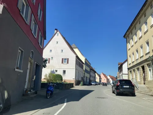

Memorial Hailfingen-Tailfingen concentration camp
Monument and historic site · 9.5 km
War memorial in Hailfingen, Germany



Alter Wasserturm
Monument and historic site · 5.5 km
Erbaut 1957, Höhe, 19,4 Meter, 84 Treppenstufen.
Josef Birkl
Monument and historic site · 3.9 km
Schäfer, starb am 18.9.1929 durch Blitzschlag
Schloß Unterschwandorf
Monument and historic site · 3.7 km
1 Alte Haiterbacher Straße, Haiterbach
21 more on the map.
Parks, trails and playgrounds28





16 more on the map.
Restaurants and cafes118

Da Piero
Restaurant · Italian, Pizza, Pasta · 4.1 km
35 Goethestraße, Jettingen
We-Sa 17:00-21:00; Su,PH 11:30-14:00,17:00-21:00; Mo,Tu off
Gasthaus Lamm
Restaurant · German · 6.1 km
6 Marktplatz, Haiterbach
Mo-Su 11:30-13:30,17:00-20:30; Tu off
Kugo Sushi Bar
Restaurant · Japanese, Seafood, Sushi
2 Bahnhofstraße, Nagold
We-Su,PH 11:30-14:30, We,Th 17:00-21:00, Fr,Sa 17:00-22:00, Su,PH...
Landgasthof Mohren
Restaurant · German · 3.9 km
12 Alemannenstraße, Nagold
Mo off; Tu-Th 11:30-14:30, 17:00-21:30; Fr 11:30-14:30,...
Panorama Cafe & Pizzeria
Restaurant · Ice Cream, Italian, Pasta, Pizza
28 Turmstraße, Nagold
Mo-Th 09:00-22:00; Fr,Sa 09:00-23:00
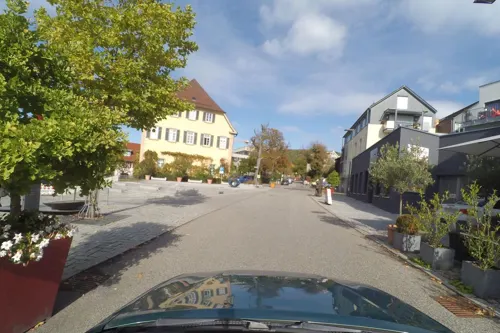
Ristorante Pizzeria Waldhorn
Restaurant · Italian
4 Gerichtsplatz, Nagold
Mo,We-Sa 11:00-14:00,18:00-23:00; Su 11:00-14:00,17:30-22:00

Backwelt Broß
Bakery · 4.2 km
2 Uferstraße, Ebhausen
Tu-Fr 05:30-18:00; Sa 06:00-13:00; Su 08:00-11:00
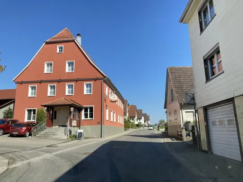
Baisinger Biermanufaktur Familie Teufel GmbH
Brewery and winery · 6.4 km
13 Ergenzinger Straße, Rottenburg am Neckar
Mo-Fr 09:00-12:00, 13:00-18:00; Sa-Su 07:30-14:00
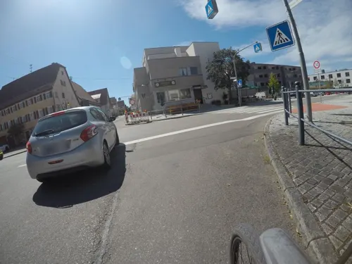
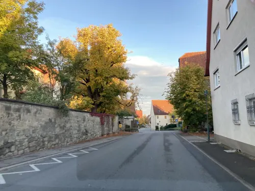
KALBACHER
Bakery · 6.2 km
46 Kaiserstraße, Rottenburg am Neckar
Mo-Fr 06:45-12:30; Fr 15:00-18:00; Sa 06:00-12:30
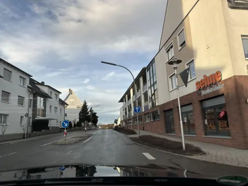


Sehne
Bakery · 4.7 km
1 Aischbachstraße, Jettingen
Mo-Fr 06:00-18:30; Sa 06:00-17:00; Su 08:00-17:00; PH 08:00-17:00
106 more on the map.
History
The Nagold Basin was probably settled as early as the early Stone Age: 2000 to 3000 BCE. With its fertile soil and mild climate in the low mountain ridge, the basin afforded ideal possibilities for settlement. Traces of early human occupation from the Hallstatt culture (700 to 450 BCE) have been found in the "Bächlen" area.
The Celts were in the Nagold basin by the 6th and 5th centuries BCE. They were responsible for naming the river Nagold, meaning "flowing stretch of water". A Celtic royal burial mound (locally called Krautbühl) and signs of numerous settlements and graves have been found on and around Schlossberg.
By the 1st century, the Romans had established two settlements in the basin. One of these settlements was unearthed in the 7th century during construction of Remigiuskirche. Stone walls from the remains were used in the Remigiuskirche foundation.
The Alamanni expelled the Romans from the Nagold Basin around 260. They emphasized settlement of the valley, and expanded their territory. Around 700, the Franks conquered the Alamanni. The Remigiuskirche was built during this time, and it is assumed the Franks established a court in the area. Nagold became the administrative center of the region which extended from Bondorf to Kniebis. Small towns and settlements began to spring up around Nagold.
From the History section of Nagold on Wikipedia, under CC BY-SA 4.0.
Where to stay14
Wohnmobilstellplätzen Bondorf -4 Golfclub Domäne Niederreutin
Campground · 6.7 km
Churches and places of worship33
Shopping32
Gas and EV charging11
Schools, colleges and libraries27
Stadt- und Schulbücherei Haiterbach
Library · 6.5 km
37-43 Hohenrainstraße, Haiterbach
Healthcare9
Map of Nagold
250 places. The map loads OpenStreetMap tiles when you open it.
Getting there and nearby towns
Manfred Rommel Airport Stuttgart (STR) is the nearest airport with scheduled flights listed in OpenStreetMap, 40 km away.
- Wildberg 8 km north, about 8 min by car
- Sulz am Neckar 22 km south, about 22 min by car
- Tübingen 24 km east, about 24 min by car
- Weil der Stadt 25 km northeast, about 25 min by car
- Weil im Schönbuch 26 km east, about 26 min by car
- Sindelfingen 27 km northeast, about 27 min by car
- Schönaich 28 km northeast, about 28 min by car
- Renningen 29 km northeast, about 29 min by car
- Reutlingen 36 km east, about 36 min by car
- Pforzheim 37 km north, about 37 min by car
Drive times are estimates from straight-line distance, not routes.
Local news
Headlines from INDB.
Reviews, tips and questions
Loading what members have shared...
Sources and licences
- GeoNames (CC BY 4.0): population, coordinates, regions and time zone
- Mapillary (see each image): photos
- OpenStreetMap contributors (ODbL 1.0): places, airports, map data
- Wikidata (CC0 1.0): elevation, founding date, time zone, website, landmarks and historic places
- Wikimedia Commons (see each image): photos
- Wikipedia (CC BY-SA 4.0): overview and history text
Photo credits
- Nagolder Viadukt, GillyBerlin, CC BY 2.0
- Hailfingen-tailfingen 2077, Kamahele, Public domain
- Hohennagold, -- Xocolatl 20:58, 23 February 2007 (UTC), Public domain
- Rotfelden Kirche, -- Xocolatl ( talk ) 21:46, 31 May 2009 (UTC), Public domain
- Gewerbliche-Schule-Nagold-Dampfmaschine-01, Origami-Kranich, CC BY-SA 3.0
- Londorfer Kapelle, Engeser, CC BY-SA 3.0
- Kirche und Turm Ebhausen, Argonautos, CC BY-SA 3.0
- Schloss Sindlingen - panoramio, qwesy qwesy, CC BY 3.0
- NSG Heiligkreuz und Schloßberg, Friedi13, CC BY-SA 4.0
- NSG Teufels Hirnschale, Friedi13, CC BY-SA 4.0
- NSG Ziegelberg, Friedi13, CC BY-SA 4.0
- NSG Waldach- und Haiterbachtal 01, Friedi13, CC BY-SA 4.0
- NSG Staufen 01, Friedi13, CC BY-SA 4.0
- NSG Mindersbacher Tal 01, Friedi13, CC BY-SA 4.0
- Nagold - Evangelische Stadtkirche, Roland1950, CC BY-SA 3.0
- Nagold - Uferstraße - Krautbühlpark + Friedenskirche 01 ies, Frank Vincentz, CC BY-SA 3.0
- Jettingen Oberjettingen Martinskirche, Friedi13, CC BY-SA 4.0
- SindlingenKirche, -- Xocolatl 20:31, 23 February 2007 (UTC), Public domain
- Landappbw 308363 1817 Kirche und Gasthaus Mötzingen im Gäu, Werner Schüle, CC0
- Katholische Kirche Nagold 01, Tragopogon, CC BY 4.0
- Oberjettingen, de evangelische kerk IMG 5051 2023-05-03 12.39, Michielverbeek, CC BY-SA 4.0
- Nagold katholische Kirche 01, Tragopogon, CC BY 4.0
- SWV Wegweiser CWWI005 Kühlenberg Alter Wasserturm, Karthoo, CC0
- SWV Wegweiser CWEB033 AugenBlick Rotfelden, Karthoo, CC0
- Street-level photo, wegavision, CC BY-SA 4.0
- Street-level photo, autobahn42, CC BY-SA 4.0
- Street-level photo, ramap, CC BY-SA 4.0
- Street-level photo, mfa, CC BY-SA 4.0
- Street-level photo, tasmaniadevil, CC BY-SA 4.0
- Street-level photo, tasmaniadevil, CC BY-SA 4.0
- Street-level photo, mfa, CC BY-SA 4.0
- Street-level photo, mfa, CC BY-SA 4.0
- Street-level photo, ramap, CC BY-SA 4.0
- Street-level photo, tasmaniadevil, CC BY-SA 4.0
- Street-level photo, slowrb, CC BY-SA 4.0
- Street-level photo, plexi32, CC BY-SA 4.0
- Street-level photo, ramap, CC BY-SA 4.0
- Street-level photo, minzkraut, CC BY-SA 4.0
- Street-level photo, ramap, CC BY-SA 4.0
- Street-level photo, validierungsharry, CC BY-SA 4.0


Page built November 8, 2026. Spotted a mistake? Tell us or suggest a place.