


Schramberg, Germany
Schramberg is a town of 18,565 people in Baden-Wurttemberg, Germany.
Why visit Schramberg
Townapedia lists 30 museums and landmarks, 13 parks and trails, 81 places to eat, 17 places to stay and 30 attractions in and around town.
Highlights include Königsfeld im Schwarzwald, Klausmann Hofladenautomat, Autosammlung Steim and Eisenbahnmuseum Schwarzwald.
Weather in Schramberg
Forecast from MET Norway (CC BY 4.0). Full forecast
About Schramberg
Schramberg (German pronunciation: [ˈʃʁambɛʁk] ) is a town in the district of Rottweil, in Baden-Württemberg, Germany. It is situated in the eastern Black Forest, 25 km northwest of Rottweil. With all of its districts (Talstadt, Sulgen, Waldmössingen, Heiligenbronn, Schönbronn and Tennenbronn (since 2006)), it has about 22,000 inhabitants.
From the Wikipedia article Schramberg (this version), under CC BY-SA 4.0.
Things to do30

Königsfeld im Schwarzwald
Monument and historic site · 9.9 km
Municipality in Germany

Klausmann Hofladenautomat
Farm and orchard · 2.5 km
Hofladenautomat, eigenes Rindfleisch
39 Lienberg, Schramberg



Mühllehen Mühle Ettwein
Farm and orchard · 7.1 km
15 Mühllehen, Königsfeld im Schwarzwald

18 more on the map.
Museums and landmarks30

Autosammlung Steim
Museum · 0.7 km
49 Göttelbachstraße, Schramberg
Mar-Oct: Tu-Su 10:00-18:00; Nov-Feb: Sa-Su 10:00-17:00


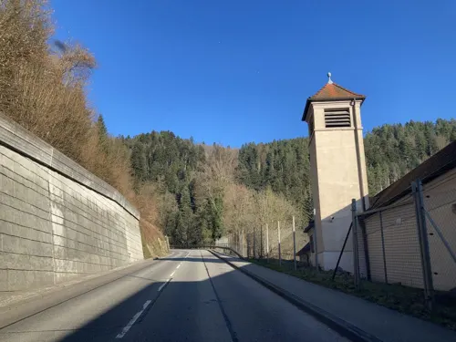
Junghans Terrassenbau Museum
Museum · 0.7 km
Uhrenmuseum
68 Lauterbacher Straße, Schramberg
Tu-Su 10:00-16:00

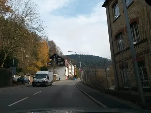
Auto- und Uhrenwelt - Erfinderzeiten
Museum · 0.9 km
Mar-Oct: Tu-Su 10:00-18:00; Nov-Feb: Tu-Su 10:00-17:00


Kloster Heiligenbronn
Monument and historic site · Catholic · 6.0 km
Kloster, Schramberg


Kapfhäusle
Monument and historic site · 6.9 km
5 Vogtsbauernhof, Lauterbach
18 more on the map.
Parks, trails and playgrounds13



1 more on the map.
Restaurants and cafes81


Gedächtnishaus Fohrenbühl
Restaurant · Regional · 6.5 km
12 Fohrenbühl, Lauterbach
Mo,Tu,Sa 11:45-21:00, Fr 14:00-21:00, Su 11:45-19:00
Hinterholz Stube
Restaurant · Regional · 3.5 km
161 Hinterholz, Schiltach
We-Sa 14:00-21:00; Su, PH 12:00-20:00; Mo, Tu off
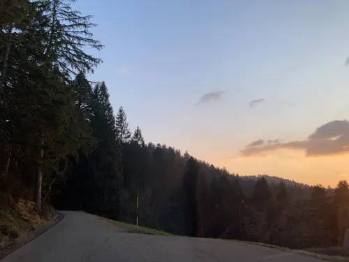
Restaurant Cafe Rapp
Restaurant · German · 7.0 km
22 Im Dörfle, Königsfeld im Schwarzwald
We-Su 11:30-21:30


Brantner Bäck
Bakery · 5.6 km
32 Weilerstraße, Hardt
Mo-Fr 06:00-18:00; Sa 06:00-13:00; Su 07:30-17:00
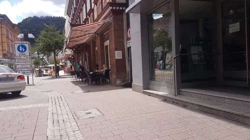
Bäckerei Menrand
Bakery · 4.9 km
8 Königsfelder Straße, Hardt
Mo-Fr 06:30-13:00,14:00-18:00; Sa 06:00-12:00


69 more on the map.
History
The origins of Schramberg date back to the year 1293, when the locality was first described as "Schrammenberg" ("wounded hill" or "scarred hill”). From 1643 Schramberg was the centre of the Herrschaft Schramberg, belonging to Further Austria until 1805. From 1805 Schramberg was part of the Kingdom of Württemberg.
From the History section of Schramberg on Wikipedia, under CC BY-SA 4.0.
Where to stay17
Churches and places of worship40
Neue St.-Laurentius-Kirche
Church · Catholic · 2.4 km
2 Mariazeller Straße, Schramberg
Nikolauskirche
Church · Roman Catholic · 6.9 km
28 Dörfle, Königsfeld im Schwarzwald
St. Markus
Church · Roman Catholic · 6.8 km
12 Hauptstraße, Eschbronn
Shopping18
Gas and EV charging9
Schools, colleges and libraries17
Healthcare6
Römer-Apotheke im MEDZENTRUM
Clinic and pharmacy
18 Lauterbacher Straße, Schramberg
Map of Schramberg
250 places. The map loads OpenStreetMap tiles when you open it.
Getting there and nearby towns
Lahr Airport (LHA) is the nearest airport with scheduled flights listed in OpenStreetMap, 44 km away.
- Villingen-Schwenningen 20 km southeast, about 20 min by car
- Sulz am Neckar 24 km northeast, about 24 min by car
- Trossingen 25 km southeast, about 25 min by car
- Spaichingen 31 km southeast, about 31 min by car
- Waldkirch 34 km southwest, about 34 min by car
- Titisee-Neustadt 37 km southwest, about 37 min by car
- Tuttlingen 42 km southeast, about 42 min by car
- Teningen 44 km west, about 44 min by car
- Wildberg 52 km northeast, about 52 min by car
- Tübingen 59 km northeast, about 59 min by car
Drive times are estimates from straight-line distance, not routes.
Local news
Headlines from INDB.
Reviews, tips and questions
Loading what members have shared...
Sources and licences
- GeoNames (CC BY 4.0): population, coordinates, regions and time zone
- Mapillary (see each image): photos
- OpenStreetMap contributors (ODbL 1.0): places, airports, map data
- Wikidata (CC0 1.0): elevation, founding date, time zone, website, landmarks and historic places
- Wikimedia Commons (see each image): photos
- Wikipedia (CC BY-SA 4.0): overview and history text
Photo credits
- Schramberg23032020, Zonk43, CC BY-SA 4.0
- Fasnetparty Schramberg 11022013, Zavijava2, CC BY-SA 3.0
- Fasnetsumzug Schramberg12022024 1, Zavijava2, CC BY-SA 3.0
- Fasnetumzug Schramberg 11022013 2, Zavijava2, CC BY-SA 3.0
- Heilig Geist Kirche Schramberg 11022013, Zavijava2, CC BY 3.0
- Bach na Fahrt Schramberg12022024, Zavijava2, CC BY-SA 3.0
- Zuwasserlassung Zuber Bach na Fahrt Schramberg12022024, Zavijava2, CC BY-SA 3.0
- Zigarettenautomat Schramberg 16022015, Zavijava2, CC BY-SA 3.0
- SWV Wegweiser RWSB067 Schramberg Rathaus, Karthoo, CC0
- Fasnetumzug Schramberg 11022013 4, Zavijava2, CC BY-SA 3.0
- Fasnetumzug Schramberg 11022013 6, Zavijava2, CC BY-SA 3.0
- Fasnetumzug Schramberg 11022013 5, Zavijava2, CC BY-SA 3.0
- Rosenmontagszug Schramberg24022020 1, Zavijava2, CC BY-SA 4.0
- Rosenmontagszug Schramberg24022020 2, Zavijava2, CC BY-SA 4.0
- Rosenmontagszug Schramberg24022020 3, Zavijava2, CC BY-SA 4.0
- Fasnetsumzug Schramberg12022024 2, Zavijava2, CC BY-SA 3.0
- Fasnetumzug Schramberg 11022013 1, Zavijava2, CC BY-SA 3.0
- Fasnetumzug Schramberg 11022013 3, Zavijava2, CC BY-SA 3.0
- Fasnetumzug Schramberg 11022013 7, Zavijava2, CC BY-SA 3.0
- Umzug Schramberg 16022015 2, Zavijava2, CC BY-SA 3.0
- Zzpl. Kirchnsaal-1, Osingar, CC BY-SA 4.0
- Museum Schüttesäge Schiltach, Andreas Frick, Public domain
- GymnasiumSchramberg2, Macks at German Wikipedia, Public domain
- Dieselmuseum Schramberg 1, Dr. Bernd Gross, CC BY-SA 3.0 de
- Schramberg - Stadtkirche Turm, CrazyD, CC BY-SA 3.0
- Hohenschramberg, Unknown author, CC BY-SA 3.0
- Kloster Heiligenbronn - Klosterhof, CatalpaSpirit, CC BY-SA 4.0
- Gedächtnisshaus am Mittelweg, Andreas Frick, Public domain
- Oberfalkenstein, Afr66, Public domain
- Lauterbach, evangelische Kirche, Rauenstein, CC BY-SA 3.0
- Schramberg - Kirche St. Maria, CrazyD, CC BY-SA 3.0
- Heilig Geist (Schramberg), Adrian Thomale (Detail by Rabanus Flavus ), CC BY-SA 4.0
- Lauterbach, Kirche St. Michael, Rauenstein, CC BY-SA 3.0
- Autosammlung Steim - Schramberg 002 (7670936804), Klaus Nahr from Germany, CC BY-SA 2.0
- Schramberg - Stadtmuseum, CrazyD, CC BY-SA 3.0
- Fohrenbühlturm, Alfred Kiefer, CC BY-SA 4.0
- Hardt im Schwarzwald St. Georg 1, Thomas Guffler, CC BY-SA 3.0
- Ev. Kirche Schönbronn (Schramberg) (1857)-edit, File:Ev. Kirche Schönbronn (Schramberg) (1857).jpg : Nina Eger derivative work: Zinnmann, CC BY-SA 4.0
- Landappbw 309677 1820 St Markus Mariazell, Harry Schneckenburger, CC0
- Nikolauskirche Buchenberg DJI-0373, DKrieger, CC BY-SA 4.0
- Kapfhäusle (1), Stefan Karl, CC BY-SA 4.0
- Gedächtnishaus Fohrenbühl, Stefan Karl, CC BY-SA 3.0
- Street-level photo, tasmaniadevil, CC BY-SA 4.0
- Street-level photo, tasmaniadevil, CC BY-SA 4.0
- Street-level photo, tasmaniadevil, CC BY-SA 4.0
- Street-level photo, tasmaniadevil, CC BY-SA 4.0
- Street-level photo, changchun1, CC BY-SA 4.0
- Street-level photo, tasmaniadevil, CC BY-SA 4.0
- Street-level photo, changchun1, CC BY-SA 4.0
- Street-level photo, tasmaniadevil, CC BY-SA 4.0
- Street-level photo, changchun1, CC BY-SA 4.0
- Street-level photo, changchun1, CC BY-SA 4.0
- Street-level photo, rausk, CC BY-SA 4.0
- Street-level photo, rausk, CC BY-SA 4.0
- Street-level photo, tasmaniadevil, CC BY-SA 4.0
- Street-level photo, nice1, CC BY-SA 4.0
- Street-level photo, nice1, CC BY-SA 4.0
- Street-level photo, changchun1, CC BY-SA 4.0
- Street-level photo, changchun1, CC BY-SA 4.0
- Street-level photo, tasmaniadevil, CC BY-SA 4.0


Page built November 8, 2026. Spotted a mistake? Tell us or suggest a place.