


Why visit Löningen
Townapedia lists 83 museums and landmarks, 42 parks and trails, 66 places to eat, 13 places to stay and 15 attractions in and around town.
Highlights include Waldbühne Ahmsen, Highland Cattle of Castle, Historische Kinotechnik and Großsteingrab im Fuhrenkamp 1.
Weather in Löningen
Forecast from MET Norway (CC BY 4.0). Full forecast
About Löningen
Löningen (German: [ˈløːnɪŋən] ) is a town in the district of Cloppenburg, in Lower Saxony, Germany. The town is situated on the river Hase, approx. 25 km southwest of Cloppenburg.
From the Wikipedia article Löningen (this version), under CC BY-SA 4.0.
Things to do15


Hasetaler Hofladen
Farm and orchard · 2.1 km
22 Gänhauk, Löningen
Mo-Su 09:00-18:30; PH 09:00-18:30
Fredrichs Anne
Farm and orchard · 6.0 km
8 Löninger Straße, Löningen

3 more on the map.
Museums and landmarks83
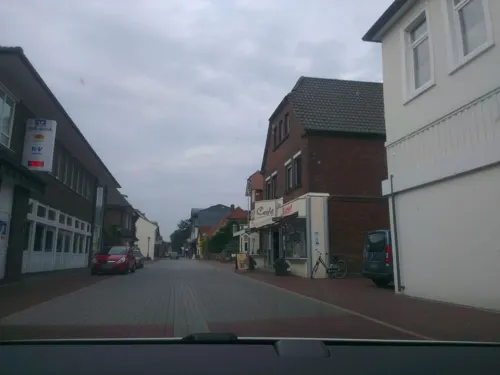


Grünes Klassenzimmer
Monument and historic site · 3.6 km
Zum Krümpel, Löningen
Jan-Dec Mo-Su,PH 00:00-24:00
Landwehr Hagel
Monument and historic site · 7.8 km
Teilstück 2 [B - C]: 2 parallele Wälle in ca. 25 m Abstand mit jeweils nach N vorgelagerten Gräben. Wallbr. ca. 7 m; H. ca. 0,8 m....


Radiomuseum
Museum · 4.9 km
Radiomuseum & kurioses aus den 30ern, 40ern, 50er, ...
5 An der B213, Löningen
Sa-Su 10:00-16:00

Vorburg der Aseburg
Monument and historic site · 8.0 km
Aseburg (Vorburg)
71 more on the map.
Parks, trails and playgrounds42




Niedrigseilgarten Ahmsen
Sports field and stadium · 9.8 km
Am Kloster, Lähden
24/7

30 more on the map.
Restaurants and cafes66
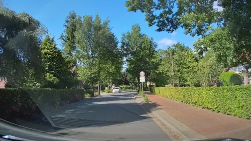
Gaststätte Winkel
Restaurant · Regional, German · 5.4 km
39 Alte Heerstraße, Löningen
We-Su 17:00-22:00
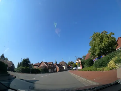
Karbarosa Wirtschaft
Restaurant · Regional · 8.1 km
3 Quakenbrücker Straße, Menslage
Mo-Tu off; We-Sa 18:00+; Su 09:30-13:00, 18:00+

Lodberger Scheunencafe
Cafe · Regional, German, Cake · 4.4 km
1A Dannekamp, Löningen
May-Sep: Fr-Su 14:00-18:00; Oct-Apr: Sa,Su 14:00-18:00

Meyerhof zu Menslage
Restaurant · 7.8 km
Veranstaltungslokalität
1 Meyer-Hof, Menslage
"nach Vereinbarung"
Puana's - Restaurant & Bar
Restaurant · Steak House, American
26 Mühlenstraße, Löningen
Mo-Th 17:00-23:00; Fr,Sa 17:00+; Su,PH 11:30-14:30,17:00-23:00
Rüwe
Restaurant
10 Kurt-Schmücker-Platz, Löningen
Tu-Th 18:00-22:00; Fr,Sa 18:00-22:00; Su 18:00-24:00; Mo off
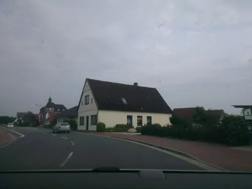
michelangelo
Restaurant · Italian, Pizza
2 Böener Straße, Löningen
Tu-Fr 12:00-14:00,17:30-22:30; Sa,Su 17:00+; Mo off




Hofcafe & Saalbetrieb Grunwald
Restaurant · 8.8 km
Veranstaltungslokalität
9 Garener Ring, Lindern
"nach Vereinbarung"
Hofcafé Vesperdeele
Cafe · 7.6 km
16 Mittelort, Lähden
May-Oct: Sa,Su 14:00-18:00; Nov-Apr: Su 13:00-17:00
54 more on the map.
History
Löningen originally appeared in 822 as Loingo. The name Löningen was mentioned first in 1147 in a letter to the Bishop von Hildesheim, when the area of Löningen belonged to the Corvey Abbey. Beginning in 1200 Löningen belonged to the Count von Tecklenburg. The diocese Münster absorbed Löningen beginning in 1400. In 1803, church rule ended and Löningen belonged to the Duchy of Oldenburg. From 1810 to 1813 Löningen belonged to the Arrondissement Quakenbrück. After the battle of Leipzig, Löningen returned to Oldenburg.
In 1814 the Duchy of Oldenburg was divided into 25 offices, one of which became Löningen. This was dissolved 1879 and Löningen was assigned to the district of Cloppenburg.
During the World War II, the first bombs in the Löningen area fell in 1940, and in 1945 the Löningen district courthouse was destroyed by bombing. On the 10th and 11 April 1945 British troops arrived and surrounded the German troops on three sides — after which the German troops retreated.
The municipal laws of Löningen were codified on 1 March 1982.
From the History section of Löningen on Wikipedia, under CC BY-SA 4.0.
Where to stay13
Churches and places of worship17
Shopping18
Gas and EV charging10
Schools, colleges and libraries20
Healthcare7
Map of Löningen
250 places. The map loads OpenStreetMap tiles when you open it.
Getting there and nearby towns
Flugplatz Varrelbusch (VAC) is the nearest airport with scheduled flights listed in OpenStreetMap, 27 km away.
- Quakenbrück 15 km southeast, about 15 min by car
- Emstek 29 km east, about 29 min by car
- Meppen 32 km west, about 32 min by car
- Lohne 33 km east, about 33 min by car
- Vechta 36 km east, about 36 min by car
- Recke 41 km south, about 41 min by car
- Papenburg 44 km northwest, about 44 min by car
- Ostrhauderfehn 46 km north, about 46 min by car
- Wallenhorst 46 km south, about 46 min by car
- Wardenburg 46 km northeast, about 46 min by car
Drive times are estimates from straight-line distance, not routes.
Local news
Headlines from INDB.
Reviews, tips and questions
Loading what members have shared...
Sources and licences
- GeoNames (CC BY 4.0): population, coordinates, regions and time zone
- Mapillary (see each image): photos
- OpenStreetMap contributors (ODbL 1.0): places, airports, map data
- Wikidata (CC0 1.0): elevation, founding date, time zone, website
- Wikimedia Commons (see each image): photos
- Wikipedia (CC BY-SA 4.0): overview and history text
Photo credits
- Löningen6, RoswithaC, CC BY 3.0
- Löningen Bahnhof, Corradox, CC BY-SA 3.0
- St vitus löningen 32, RoswithaC, CC BY 3.0
- Hahnenmoor, Corradox, CC BY-SA 3.0
- Menslage1, Roger Harazim, CC BY 3.0
- Großsteingrab im Fuhrenkamp 1, Megalithicguy, CC BY-SA 4.0
- Kath. Pfarrkirche Lastrup, Philipp Jakob, CC BY-SA 4.0
- Blick auf St. Clemens 1, Bärwinkel,Klaus, CC BY-SA 4.0
- St Bonifatius Kirche (2015), GerdHB, CC BY-SA 4.0
- Der Hauptburgwall der Aseburg mit dem Graben zur Vorburg. Foto Eismann 2015, Castritus, CC BY-SA 4.0
- Das Plateau der Moorburg von Norden, Castritus, CC BY-SA 4.0
- Loeningen-bahnhof-30, Pimvantend, CC BY-SA 4.0
- Dr. Luebbers-Weg 8 in Loeningen, Krzysztof Golik, CC BY-SA 4.0
- Dr. Luebbers-Weg 6 in Loeningen, Krzysztof Golik, CC BY-SA 4.0
- St Vitus church in Loeningen (15), Krzysztof Golik, CC BY-SA 4.0
- St Vitus church in Loeningen (16), Krzysztof Golik, CC BY-SA 4.0
- St Vitus church in Loeningen (14), Krzysztof Golik, CC BY-SA 4.0
- St Vitus church in Loeningen (2), Krzysztof Golik, CC BY-SA 4.0
- St Vitus church in Loeningen (1), Krzysztof Golik, CC BY-SA 4.0
- St Vitus church in Loeningen (13), Krzysztof Golik, CC BY-SA 4.0
- St Vitus church in Loeningen (8), Krzysztof Golik, CC BY-SA 4.0
- St Vitus church in Loeningen (3), Krzysztof Golik, CC BY-SA 4.0
- St Vitus church in Loeningen (5), Krzysztof Golik, CC BY-SA 4.0
- St Vitus church in Loeningen (7), Krzysztof Golik, CC BY-SA 4.0
- St Vitus church in Loeningen (4), Krzysztof Golik, CC BY-SA 4.0
- St Vitus church in Loeningen (6), Krzysztof Golik, CC BY-SA 4.0
- St Vitus church in Loeningen (9), Krzysztof Golik, CC BY-SA 4.0
- Bell tower of the St Vitus church in Loeningen (4), Krzysztof Golik, CC BY-SA 4.0
- Bell tower of the St Vitus church in Loeningen (3), Krzysztof Golik, CC BY-SA 4.0
- Bell tower of the St Vitus church in Loeningen (5), Krzysztof Golik, CC BY-SA 4.0
- Bell tower of the St Vitus church in Loeningen (1), Krzysztof Golik, CC BY-SA 4.0
- Bell tower of the St Vitus church in Loeningen (2), Krzysztof Golik, CC BY-SA 4.0
- Bell tower of the St Vitus church in Loeningen (6), Krzysztof Golik, CC BY-SA 4.0
- St Vitus church in Loeningen (10), Krzysztof Golik, CC BY-SA 4.0
- St Vitus church in Loeningen (11), Krzysztof Golik, CC BY-SA 4.0
- Holy Trinity church in Loeningen (1), Krzysztof Golik, CC BY-SA 4.0
- Holy Trinity church in Loeningen (2), Krzysztof Golik, CC BY-SA 4.0
- St Vitus church in Loeningen (12), Krzysztof Golik, CC BY-SA 4.0
- Holy Trinity church in Loeningen (5), Krzysztof Golik, CC BY-SA 4.0
- Bell tower of the St Vitus church in Loeningen (7), Krzysztof Golik, CC BY-SA 4.0
- Street-level photo, jman1983, CC BY-SA 4.0
- Street-level photo, jman1983, CC BY-SA 4.0
- Street-level photo, jmsbert, CC BY-SA 4.0
- Street-level photo, hendel, CC BY-SA 4.0
- Street-level photo, camdrive2000, CC BY-SA 4.0
- Street-level photo, jman1983, CC BY-SA 4.0
- Street-level photo, jman1983, CC BY-SA 4.0
- Street-level photo, jman1983, CC BY-SA 4.0
- Street-level photo, vst, CC BY-SA 4.0
- Street-level photo, jman1983, CC BY-SA 4.0
- Street-level photo, thewizard, CC BY-SA 4.0
- Street-level photo, hendel, CC BY-SA 4.0
- Street-level photo, camdrive2000, CC BY-SA 4.0
- Street-level photo, jmsbert, CC BY-SA 4.0


Page built November 8, 2026. Spotted a mistake? Tell us or suggest a place.