


Why visit Hatten
Townapedia lists 55 museums and landmarks, 22 parks and trails, 45 places to eat, 17 places to stay and 9 attractions in and around town.
Highlights include Hofgemeinschaft Grummersort, Hofladen Schwarting, Friederikeneiche and Erde.
Weather in Hatten
Forecast from MET Norway (CC BY 4.0). Full forecast
About Hatten
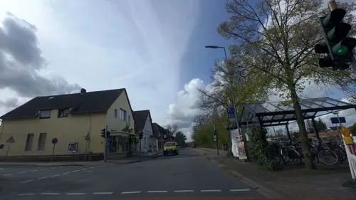
Hatten is a municipality in Oldenburg, in Lower Saxony, Germany. It is situated 16 km (9.94 mi) southeast of Oldenburg, on the North-West edge of the Wildeshausen Geest Nature Park.
From the Wikipedia article Hatten (this version), under CC BY-SA 4.0.
Things to do9
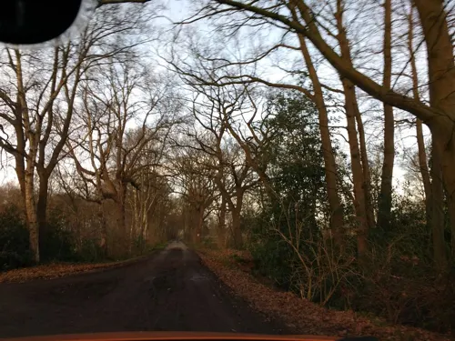

Hofladen Schwarting
Farm and orchard · 8.0 km
Verkauf von Kartoffeln, Eier, Honig, Fruchtaufstriche
3, Ganderkesee
Mo-Sa 08:00-18:00
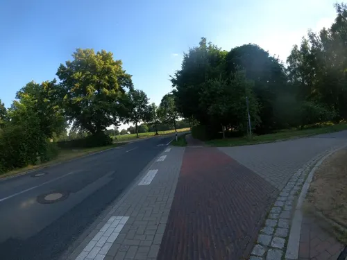
Hofladen G. u. G. Hennes
Farm and orchard · 6.7 km
Verkauf von Lammfleisch und Lederprodukten von Kamerun-Haarschafen
31 Huntloser Straße, Hatten


Museums and landmarks55

Friederikeneiche
Monument and historic site · 6.7 km
Die Friederikeneiche, benannt nach Friederike Elisabeth Amalie von Oldenburg, ist mit einem Alter von etwa 1200 Jahren die älteste heute...


Friedenseiche in Bergedorf
Monument and historic site · 6.2 km
Naturdenkmal: freistehende Eiche mit schirmförmiger Krone, Höhe ca. 15 m, Stammumfang 2,90 m, Kronendurchmesser ca. 20 m


43 more on the map.
Parks, trails and playgrounds22

Skulpturenufer
Park · 7.3 km
Das Skulpturenufer ist ein Gemeinschaftsprojekt der Gemeinde Hude im niedersächsischen Landkreis Oldenburg und des in Hude lebenden...


Freibad Hatten
Sports field and stadium · 4.1 km
Mo-Fr 06:00-19:00, Tu-We 19:30-21:30; Sa-Su 10:00-19:00


Geermoor
Hiking and trails · 3.8 km
Wiedervernässtes Kleinmoor mit randlichem Birkenmoorwald. Vorkommen hoch- und übergangsmoortypischer Pflanzenarten.





10 more on the map.
Restaurants and cafes45
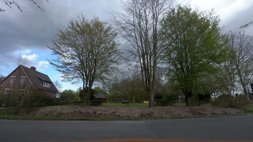
Vielstedter Bauernhaus
Restaurant · Regional · 6.3 km
1 Am Bauernhaus, Hude
Mo-Sa 15:00+;Th off;Su 12:00+
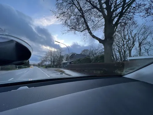
Gasthof Zur Mühle
Restaurant · Regional · 2.3 km
39 Munderloher Straße, Hatten
Mo-Sa 16:00-21:00; Mo-Sa 18:00-21:00 "Warme Küche"
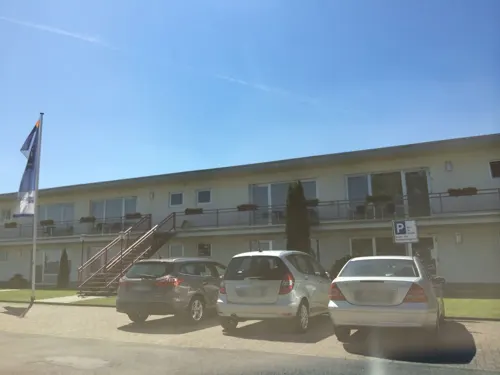
Airfield Restaurant
Restaurant · International · 8.5 km
23 Otto-Lilienthal-Straße, Ganderkesee
Mo-Su 11:30-14:00, 18:00-21:00
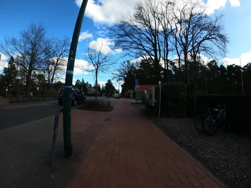
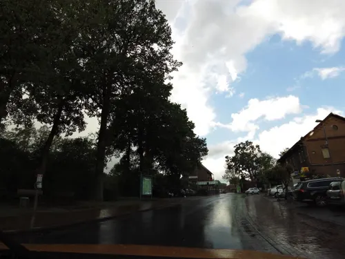
Moritz Wüstenlander Hof
Restaurant · German · 8.3 km
4 Bahnhofstraße, Hude (Oldenburg)
Tu-Su 17:00+; Mo off

Waldschänke Steinkimmen
Restaurant · Regional · 5.2 km
53 Am Sender, Ganderkesee
We-Sa 14:00+, Su 11:00+

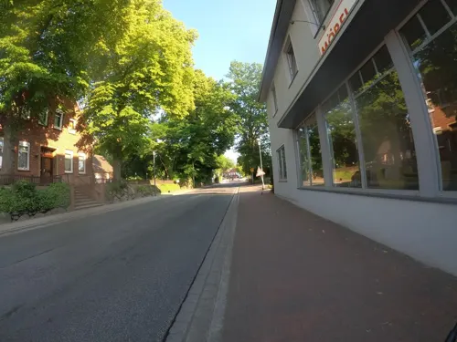
Bäcker Meyer Mönchhof
Cafe · 4.0 km
14 Hauptstraße, Hatten
Mo-Fr 06:00-18:00; Sa 06:00-13:00; Su 07:00-17:00; PH off


Bäckerei Krützkamp
Bakery · 8.3 km
27 Hohe Straße, Hude
Mo-Fr 06:00-18:00; Sa 06:00-13:00; Su 08:00-13:00

Restaurant & Steakhouse Opatija
Restaurant · Steak House · 4.1 km
9 Kreyenweg, Hatten
Mo-Fr 17:30-23:00; Su,PH 12:00-15:00,17:30-23:00
33 more on the map.
History
Hatten, or its internal division of Kirchhatten, was first attributed the name of "Hatho" in 860 AD. Derived from the Germanic dialects of Hathus or Hadu, the word may be loosely interpreted to relate to "War", "God of War" or "Fortunate Warrior".
Tacks from hunters exist from the Stone Age, as well as those of later Germanic tribes and saxons. Settlements are known to have developed in the region partially as a result of abundance of fruitful agricultural lands.
From the History section of Hatten on Wikipedia, under CC BY-SA 4.0.
Where to stay17
Churches and places of worship10
Katholische Kirche St. Marien
Church · Roman Catholic · 8.2 km
16 Breslauer Straße, Hude
Herz-Jesu-Kapelle Wüsting
Church · Catholic · 6.8 km
29 Am Klosterkiel, Hude (Oldenburg)
Ev. luth. Kirchengemeinde
Place of worship · 4.2 km
2 Wildeshauser Straße, Hatten
Shopping12
Gas and EV charging11
Schools, colleges and libraries13
Healthcare5
Map of Hatten
199 places. The map loads OpenStreetMap tiles when you open it.
Getting there and nearby towns
Bremen Airport (BRE) is the nearest airport with scheduled flights listed in OpenStreetMap, 27 km away.
- Hude 8 km northeast, about 8 min by car
- Wardenburg 13 km west, about 13 min by car
- Oldenburg 15 km northwest, about 15 min by car
- Wildeshausen 18 km south, about 18 min by car
- Schwanewede 24 km northeast, about 24 min by car
- Stuhr 25 km east, about 25 min by car
- Rastede 25 km northwest, about 25 min by car
- Ritterhude 28 km northeast, about 28 min by car
- Bremen 28 km east, about 28 min by car
- Emstek 28 km southwest, about 28 min by car
Drive times are estimates from straight-line distance, not routes.
Local news
Headlines from INDB.
Reviews, tips and questions
Loading what members have shared...
Sources and licences
- GeoNames (CC BY 4.0): population, coordinates, regions and time zone
- Mapillary (see each image): photos
- OpenStreetMap contributors (ODbL 1.0): places, airports, map data
- Wikidata (CC0 1.0): elevation, founding date, time zone, website
- Wikimedia Commons (see each image): photos
- Wikipedia (CC BY-SA 4.0): overview and history text
Photo credits
- Kirchhatten church, Jacek Rużyczka, CC BY-SA 3.0
- Schlatt mit Birken beim Gierenberg, Jacek Rużyczka, CC BY-SA 4.0
- Skulpturenufer 00 Infotafel, Gerd Fahrenhorst, CC BY 4.0
- Steenbeqrg, Travus ( talk ) 10:41, 26 May 2012 (UTC), CC BY-SA 3.0
- NSG WE091 Hatter Holz, Ralf Krebs, CC BY 3.0
- Hünensteine 2 (928), Ralf Krebs, CC BY 3.0
- Heidenwall, Billboa, CC BY-SA 3.0
- Friederikeneiche, Billboa, CC BY 3.0
- LSG OL 00046 Geer Moor, Ralf Krebs, CC BY 3.0
- Friderikeneiche (Hasbruch) im Juni 2015, Billboa, CC BY 3.0
- Hude St. Marien kath, Sichi77, CC BY-SA 4.0
- Hasbruchturm, Billboa, CC BY 3.0
- ND226 Friedenseiche in Bergedorf, Ralf Krebs, CC BY 3.0
- J POI 101 Sandhatten Steingrab Steenberg 2022-06-28, Pathumthani, CC BY-SA 4.0
- Hasen-Ahlers Denkmal, Billboa, CC BY-SA 3.0
- Niedersachsen, Hatten, Geermoor, ND525, Ralf Krebs, CC BY-SA 4.0
- Großsteingrab Steinkimmen 2 11, Einsamer Schütze, CC BY-SA 3.0
- Franzosenbrücke, Billboa, CC BY-SA 3.0
- Thingstätte Dingstede, Billboa, CC BY 3.0
- Street-level photo, moenk, CC BY-SA 4.0
- Street-level photo, bierti, CC BY-SA 4.0
- Street-level photo, bierti, CC BY-SA 4.0
- Street-level photo, camdrive2000, CC BY-SA 4.0
- Street-level photo, moenk, CC BY-SA 4.0
- Street-level photo, sajahome, CC BY-SA 4.0
- Street-level photo, moenk, CC BY-SA 4.0
- Street-level photo, adverburg, CC BY-SA 4.0
- Street-level photo, VIA_KK, CC BY-SA 4.0
- Street-level photo, moenk, CC BY-SA 4.0
- Street-level photo, VIA_KK, CC BY-SA 4.0
- Street-level photo, moenk, CC BY-SA 4.0
- Street-level photo, VIA_KK, CC BY-SA 4.0
- Street-level photo, VIA_KK, CC BY-SA 4.0
- Street-level photo, moenk, CC BY-SA 4.0
- Street-level photo, moenk, CC BY-SA 4.0
- Street-level photo, moenk, CC BY-SA 4.0
- Street-level photo, moenk, CC BY-SA 4.0
- Street-level photo, camdrive2000, CC BY-SA 4.0
- Street-level photo, VIA_KK, CC BY-SA 4.0


Page built November 8, 2026. Spotted a mistake? Tell us or suggest a place.