


Gärtringen, Germany
Gärtringen is a town of 11,760 people in Baden-Wurttemberg, Germany.
Why visit Gärtringen
Townapedia lists 61 museums and landmarks, 25 parks and trails, 76 places to eat, 5 places to stay and 13 attractions in and around town.
Highlights include Schönbuchturm, Burghof Tafel, Ehemalige Obere Mühle and Ehninger Schloss.
Weather in Gärtringen
Forecast from MET Norway (CC BY 4.0). Full forecast
About Gärtringen
Gärtringen (German pronunciation: [ˈɡɛʁtʁɪŋən] ) is a municipality in the district of Böblingen, Baden-Württemberg, Germany. It is situated 25 km southwest of Stuttgart, 7 km north of Herrenberg, and consists of the villages Rohrau and Gärtringen.
From the Wikipedia article Gärtringen (this version), under CC BY-SA 4.0.
Things to do13

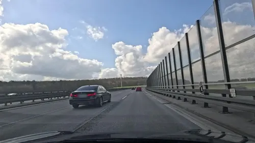
Burghof Tafel
Farm and orchard · 3.3 km
Hintere Burgwiesen, Ehningen
Mo 09:00-13:00; Tu,Fr 09:00-12:30,15:00-18:30; We,Th,Sa 09:00-12:30; PH off
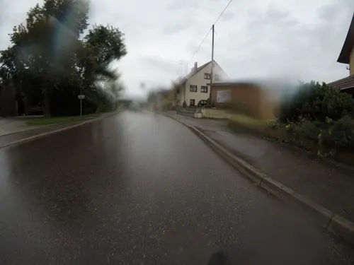
Obsthof Kempf
Farm and orchard · 3.5 km
31 Hildrizhauser Straße, Ehningen
Mo,We,Fr 09:00-13:00,16:30-19:00; Sa 09:00-13:00; PH off

Klaus Sindlinger Biohof
Farm and orchard · 2.3 km
6 Hanfweg, Gärtringen
24/7



1 more on the map.
Museums and landmarks61



49 more on the map.
Parks, trails and playgrounds25




13 more on the map.
Restaurants and cafes76
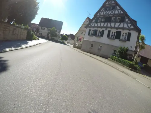
LiVa's Ehningen
Restaurant · Italian · 3.5 km
Ehem. Eiscafe Salerno
4 Marktplatz, Ehningen
Jun-Aug: Mo-Su,PH 10:00-22:00; Sep-Mar: Mo-Su,PH 09:30-22:00; Dec...
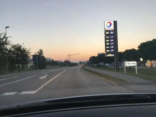
Kerzenstüble
Restaurant · German · 0.7 km
2-4 Böblinger Straße, Gärtringen
Tu-Fr 11:30-14:00,17:00-24:00; Sa 17:00-24:00; Su 11:30-14:00; Mo off

Pizzeria Atlantic
Restaurant · Italian · 2.8 km
106 Königsberger Straße, Ehningen
Mo-Fr 10:30-14:00,16:30-23:00; Sa-Su,PH 11:00-23:00
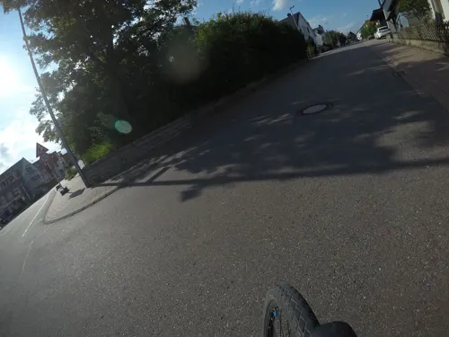
Ristorante La Pineta
Restaurant · Italian, Regional
1 Stuttgarter Straße
Su-Tu,Th,Fr 11:00-14:00, Mo,Tu,Th-Sa 17:00-22:00
Schlemmerolymp
Restaurant · Greek · 3.4 km
80/1 Hildrizhauser Straße, Ehningen
Mo off "Ruhetag"; Tu-Sa 17:00-23:00; Su,PH 11:30-21:00
Schützenhaus
Restaurant · Romanian, Hungarian, German · 3.4 km
105 Hildrizhauser Straße, Ehningen
Oct-Apr: Mo off "Ruhetag"; Oct-Apr: Tu-Fr 17:00-22:00; Oct-Apr:...

Sehne
Bakery · 3.6 km
35 Königstraße, Ehningen
Mo-Fr 06:00-19:00; Sa 06:00-17:00; Su 07:00-18:00; PH "siehe...
Waldeck
Restaurant · Regional · 1.4 km
7 Deufringer Straße, Gärtringen
Apr-Dec:Mo 15:00-22:00; Tu,Th-Fr 11:00-22:00; Su 10:00-22:00
Am Weingarten
Restaurant · Regional · 1.5 km
14-16 Deufringer Straße, Gärtringen
Mo-Fr 11:00-14:00,17:00-22:00; Tu 11:00-14:00; Sa,Su 11:00-22:00
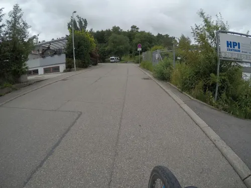
American-Diner-Filou
Diner · American · 4.1 km
38 Forchenweg, Aidlingen
Mo-Th 18:00-24:00, Fr,Sa 16:00-01:00, PH,Su 12:00-23:00


64 more on the map.
History
The oldest traces of settlement in the district date back to the Hallstatt period. Ancient, possibly Roman, settlement remains can be found at Hardtheimer Brünnele. The place name “Gärtringen” is of Alemannic origin, whereby the settlement is probably named after a Gartheri. Gärtringen was first mentioned in a document in 1140. Originally subject to the County of Calw, then to the Palatine Counts of Tübingen, the municipality became a part of Württemberg in 1382.
During the district reform of Württemberg during the Nazi era, Gärtringen became part of the Böblingen district in 1938. In 1945, Gärtringen became part of the American occupation zone and thus belonged to the newly founded state of Baden-Württemberg, which merged into its current state in 1952.
From the History section of Gärtringen on Wikipedia, under CC BY-SA 4.0.
Where to stay5
Churches and places of worship18
Shopping20
Gas and EV charging6
Schools, colleges and libraries14
Healthcare5
Map of Gärtringen
243 places. The map loads OpenStreetMap tiles when you open it.
Getting there and nearby towns
Manfred Rommel Airport Stuttgart (STR) is the nearest airport with scheduled flights listed in OpenStreetMap, 24 km away.
- Herrenberg 6 km southwest, about 6 min by car
- Holzgerlingen 8 km east, about 8 min by car
- Sindelfingen 11 km northeast, about 11 min by car
- Wildberg 12 km west, about 12 min by car
- Schönaich 12 km east, about 12 min by car
- Weil der Stadt 12 km north, about 12 min by car
- Weil im Schönbuch 12 km east, about 12 min by car
- Renningen 15 km north, about 15 min by car
- Nagold 17 km southwest, about 17 min by car
- Tübingen 17 km southeast, about 17 min by car
Drive times are estimates from straight-line distance, not routes.
Local news
Headlines from INDB.
Reviews, tips and questions
Loading what members have shared...
Sources and licences
- GeoNames (CC BY 4.0): population, coordinates, regions and time zone
- Mapillary (see each image): photos
- OpenStreetMap contributors (ODbL 1.0): places, airports, map data
- Wikidata (CC0 1.0): elevation, founding date, time zone, website
- Wikimedia Commons (see each image): photos
- Wikipedia (CC BY-SA 4.0): overview and history text
Photo credits
- Evangelische Kirche in Gärtringen - panoramio, qwesy qwesy, CC BY 3.0
- Grenzsteingarten Gärtringen 04, Tragopogon, CC BY 4.0
- Gärtringen Gefallenendenkmal, Tragopogon, CC BY 4.0
- Gärtringen Wilhelmstraße 10 (2), Tragopogon, CC BY 4.0
- Gärtringen Wilhelmstraße 10 (3), Tragopogon, CC BY 4.0
- Gärtringen Seltenbachweg 2, Tragopogon, CC BY 4.0
- Gärtringen Schossweg 5 Tor, Tragopogon, CC BY 4.0
- Gärtringen Pfarrhaus, Tragopogon, CC BY 4.0
- Gärtringen Schlossweg 5 Tür, Tragopogon, CC BY 4.0
- Kirche-Gärtringen, User:MarkusHagenlocher, CC BY-SA 3.0
- Grenzsteingarten Gärtringen 03, Tragopogon, CC BY 4.0
- Grenzsteingarten Gärtringen 01, Tragopogon, CC BY 4.0
- Grenzsteingarten Gärtringen 02, Tragopogon, CC BY 4.0
- Gärtringen Bismarckstraße 16A, Tragopogon, CC BY 4.0
- Gärtringen Bismarckstraße 16 2, Tragopogon, CC BY 4.0
- Park in Gärtringen bei der Villa Schwalbenhof - Erich Kiefer (1945-1982, Fabrik für lufttechnische Anlagen) baut 1954 die Villa Schwalbenhof inklusive Park - panoramio, Qwesy, CC BY 3.0
- Ortsbücherei in Gärtringen - panoramio, qwesy qwesy, CC BY 3.0
- Gärtringen Hasengasse 6, Tragopogon, CC BY 4.0
- Gärtringen Kirchstraße 27, Tragopogon, CC BY 4.0
- Gärtringen Kanalgasse 2, Tragopogon, CC BY 4.0
- Gärtringen Schmiedstraße 7, Tragopogon, CC BY 4.0
- Gärtringen Backhaus, Tragopogon, CC BY 4.0
- Gärtringen Backhaus 2, Tragopogon, CC BY 4.0
- Gärtringen Vorstadt 2, Tragopogon, CC BY 4.0
- Gärtringen Waschhaus, Tragopogon, CC BY 4.0
- Gebäude und Straßenansichten Gärtringen 02, Giftzwerg 88, CC BY-SA 4.0
- Gebäude und Straßenansichten Gärtringen 01, Giftzwerg 88, CC BY-SA 4.0
- Bahnhof Gärtringen 37, Giftzwerg 88, CC BY-SA 4.0
- Bahnhof Gärtringen 03, Giftzwerg 88, CC BY-SA 4.0
- Bahnhof Gärtringen 04, Giftzwerg 88, CC BY-SA 4.0
- StVeitGaertringen retouched, Cactus26 ( talk ), CC BY-SA 3.0
- Schloss Ehningen, Slvrwlf23, CC BY-SA 4.0
- Schoenbuchturm20180507, Cactus26, CC BY-SA 3.0
- NSG Krebsbachaue 01, Friedi13, CC BY-SA 4.0
- Schönbuchturm-01, Muck, CC BY-SA 4.0
- EhningenKirche, Ssch, CC BY-SA 3.0
- Neuapostolische Kirche Nufringen 02, Giftzwerg 88, CC BY-SA 4.0
- Pelagiuskirche Nufringen 02, Giftzwerg 88, CC BY-SA 4.0
- Kirche-Aidlingen, Benutzer:MarkusHagenlocher, CC BY-SA 3.0
- St. Maria Nufringen 07, Giftzwerg 88, CC BY-SA 4.0
- Mariä Himmelfahrt in Aidlingen 01, Giftzwerg 88, CC BY-SA 3.0
- Ehemalige Obere Mühle Aidlingen 01, Giftzwerg 88, CC BY-SA 3.0
- Hopfenhaus Aidlingen 05, Giftzwerg 88, CC BY-SA 3.0
- Neuapostolische Kirche Aidlingen 03, Giftzwerg 88, CC BY-SA 3.0
- Street-level photo, mfa, CC BY-SA 4.0
- Street-level photo, mfa, CC BY-SA 4.0
- Street-level photo, zee, CC BY-SA 4.0
- Street-level photo, deleted_user, CC BY-SA 4.0
- Street-level photo, mfa, CC BY-SA 4.0
- Street-level photo, deleted_user, CC BY-SA 4.0
- Street-level photo, Felix23, CC BY-SA 4.0
- Street-level photo, mfa, CC BY-SA 4.0
- Street-level photo, mfa, CC BY-SA 4.0
- Street-level photo, mfa, CC BY-SA 4.0
- Street-level photo, mfa, CC BY-SA 4.0
- Street-level photo, mfa, CC BY-SA 4.0
- Street-level photo, mfa, CC BY-SA 4.0
- Street-level photo, mfa, CC BY-SA 4.0
- Street-level photo, mfa, CC BY-SA 4.0
- Street-level photo, mfa, CC BY-SA 4.0
- Street-level photo, mfa, CC BY-SA 4.0
- Street-level photo, mfa, CC BY-SA 4.0
- Street-level photo, slabby, CC BY-SA 4.0
- Street-level photo, mfa, CC BY-SA 4.0
- Street-level photo, mfa, CC BY-SA 4.0
- Street-level photo, plexi32, CC BY-SA 4.0
- Street-level photo, deleted_user, CC BY-SA 4.0
- Street-level photo, plexi32, CC BY-SA 4.0
- Street-level photo, plexi32, CC BY-SA 4.0


Page built November 8, 2026. Spotted a mistake? Tell us or suggest a place.