


Why visit Renningen
Townapedia lists 32 museums and landmarks, 55 parks and trails, 113 places to eat, 6 places to stay and 15 attractions in and around town.
Highlights include Kulisse, SB-Hütte Benzinger, Heimatmuseum and Heimatmuseum.
Weather in Renningen
Forecast from MET Norway (CC BY 4.0). Full forecast
About Renningen
Renningen (German pronunciation: [ˈʁɛnɪŋən] ) is a town in the district of Böblingen, Baden-Württemberg, Germany. It is situated 18 km west of Stuttgart.
From the Wikipedia article Renningen (this version), under CC BY-SA 4.0.
Things to do15


Eierlädle
Farm and orchard · 2.7 km
5/1 Schöckengasse, Renningen
Tu,Th,Fr,Sa 09:30-11:00, Th 17:00-18:00




Festhalle Stegwiesen - Stegwiesenhalle
Cinema and theater · 0.6 km
Stegwiesenhalle - bestuhlte Veranstaltungen bis max. 470 Besuchende
3 more on the map.
Museums and landmarks32
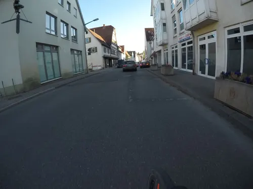


Kugelbahn am Naturtheater
Monument and historic site · 1.3 km
50m lange Holzkugelbahn entlang des Waldwegs am Naturtheater
Am Längenbühl
24/7


Museum Renninger Krippe
Museum · 0.6 km
"Nach telefonischer Voranmeldung 0172-7257880"
Bunker-Ruinen
Monument and historic site · 2.6 km
Bunkerreste entlang des Militärwegs
20 more on the map.
Parks, trails and playgrounds55






43 more on the map.
Restaurants and cafes113
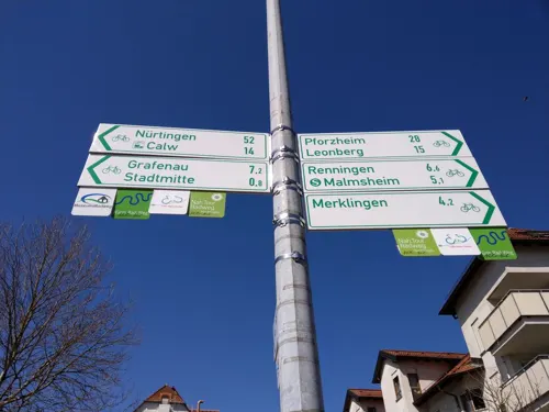
Fukiheian
Restaurant · Asian · 5.1 km
1 Schießrainweg, Weil der Stadt
Mo-Fr 11:00-15:00,17:00-21:30; Sa,Su 11:30-22:00
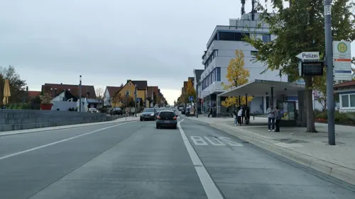
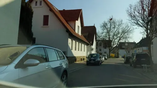
Gasthof Ochsen
Restaurant · German
10 Lange Straße, Renningen
Th,Fr,Su-Tu 11:30-14:00, Th-Tu 17:30-21:00; We off
Kraxlalm
Restaurant · German · 4.9 km
2 Am Freizeitpark, Rutesheim
Th-Sa 17:30-23:00; Su,PH 12:00-21:00

Schwaben Schänke Da Angelo
Restaurant · Italian · 1.0 km
45 Weil der Städter Straße, Renningen
Tu-Fr 11:30-14:00, 17:15-21:30; Sa 17:15-21:30; Su, PH...
Adler Da Pino
Restaurant · Italian · 0.6 km
14 Hauptstraße, Renningen
We-Mo 11:30-14:00,17:00-22:00; Tu off
Bistro Philippin
Restaurant · German · 4.4 km
9 Flachter Straße, Rutesheim
Mo 07:30-14:00; Tu-Fr 07:30-14:30; Sa 07:00-13:00; PH off
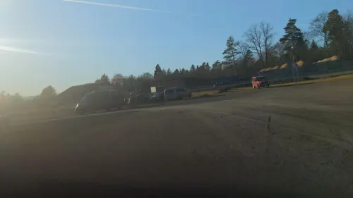
Fliegerschänke Malmsheim
Restaurant · German · 2.7 km
90 Perouser Straße, Renningen
Mo,Th,Fr 11:00+; Sa,Su 10:00+
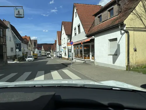
Grüner Baum
Restaurant · Local · 3.8 km
2 Büsnauer Straße, Leonberg
We-Fr 10:00-14:15,17:30-22:30; Sa 10:00-22:30; Su 10:00-21:30


101 more on the map.
History
Renningen lies in an area which even in the Early Stone Age was thickly populated. Proof of this are the many remains found of settlements from the linear pottery culture.
Remains of settlements found to originate with the Urnenfelderkultur (c. 1000 BC) as well the Hallstatt- and La Tène culture (Early to Late Iron Age), provide evidence of settlement during various prehistoric eras.
The evaluation of archeological digs and finds show expansion of two early Alemannic settlements within the Renningen Basin north and south of the Rankbach. Excavations by the then State Office for Historical Monuments in Baden-Württemberg in the Raite Industrial Park (1991) unearthed a number of farmsteads comprising three-naved longhouses, storehouses and pit houses (4th and 5th century).
A second settlement in the Neuwiesenäckern developed into a large settlement, which can now be identified as Altheim, first mentioned in the 12th century.
From the History section of Renningen on Wikipedia, under CC BY-SA 4.0.
Where to stay6
Churches and places of worship28
Johannes-Täufer-Kirche
Church · Protestant · 3.5 km
2 Marktplatz, Magstadt
Königreichssaal
Church · Jehovahs Witness · 5.0 km
19 Heidenheimer Straße, Leonberg
Shopping29
Gas and EV charging11
Schools, colleges and libraries21
Heinrich-Steinhöwel-Schule Gemeinschaftsschule mit Grundschule
School · 5.0 km
10 Jahnstraße, Weil der Stadt
Healthcare7
Apotheke Warmbronn Dr. Martin Bacher
Clinic and pharmacy · 3.6 km
3 Planstraße, Leonberg
Map of Renningen
250 places. The map loads OpenStreetMap tiles when you open it.
Getting there and nearby towns
Manfred Rommel Airport Stuttgart (STR) is the nearest airport with scheduled flights listed in OpenStreetMap, 23 km away.
- Rutesheim 4 km north, about 4 min by car
- Weil der Stadt 5 km southwest, about 5 min by car
- Sindelfingen 10 km southeast, about 10 min by car
- Schönaich 15 km southeast, about 15 min by car
- Schwieberdingen 15 km northeast, about 15 min by car
- Stuttgart 18 km east, about 18 min by car
- Vaihingen an der Enz 19 km north, about 19 min by car
- Weil im Schönbuch 19 km southeast, about 19 min by car
- Pforzheim 22 km northwest, about 22 min by car
- Tamm 21 km northeast, about 21 min by car
Drive times are estimates from straight-line distance, not routes.
Local news
Headlines from INDB.
Reviews, tips and questions
Loading what members have shared...
Sources and licences
- GeoNames (CC BY 4.0): population, coordinates, regions and time zone
- Mapillary (see each image): photos
- OpenStreetMap contributors (ODbL 1.0): places, airports, map data
- Wikidata (CC0 1.0): elevation, founding date, time zone, website, landmarks and historic places
- Wikimedia Commons (see each image): photos
- Wikipedia (CC BY-SA 4.0): overview and history text
Photo credits
- Renningen2, Jerchel, CC BY-SA 3.0
- Fassade mit Blechplattenverkleidung Lange Strasse Renningen, Harke, CC BY-SA 3.0
- Blechplattenverkleidung Hindenburgstrasse Renningen, Harke, CC BY-SA 3.0
- Haus in Renningen - panoramio, qwesy qwesy, CC BY 3.0
- Anbau mit Blechplattenverkleidung Renningen, Harke, CC BY-SA 3.0
- Evangelische Petruskirche Renningen - panoramio, qwesy qwesy, CC BY 3.0
- Parkverbotschild Renningen17092018, Zonk43, CC BY-SA 3.0
- Evangelische Petruskirche in Renningen - panoramio, qwesy qwesy, CC BY 3.0
- Petruskirche Renningen17092018, Zonk43, CC BY-SA 3.0
- Parkplatzschild Renningen17092018, Zonk43, CC BY-SA 3.0
- Kirchplatz in Renningen - panoramio, qwesy qwesy, CC BY 3.0
- Innschrift Petruskirche Renningen17092018, Zonk43, CC BY-SA 3.0
- Imbiss Medusa, Bahnhof Renningen - panoramio, qwesy qwesy, CC BY 3.0
- Public toilet in Renningen (2), Vasyatka1, CC BY-SA 4.0
- Public toilet in Renningen (1), Vasyatka1, CC BY-SA 4.0
- Mast Renningen 02112014 2, Zavijava2, CC BY-SA 3.0
- Hotel Restaurant "Zur Eisenbahn", Renningen - panoramio, qwesy qwesy, CC BY 3.0
- S60 Bahnhof Süd in Renningen - panoramio, qwesy qwesy, CC BY 3.0
- Skulpturen bei Renningen - panoramio, qwesy qwesy, CC BY 3.0
- Martinskirche Sindelfingen 20-04-2019 13, Giftzwerg 88, CC BY-SA 3.0
- Naturschutzgebiet Mittelberg bei Weil der Stadt - panoramio, qwesy qwesy, CC BY 3.0
- Naturschutzgebiet Längenbühl, qwesy qwesy, CC BY 3.0
- Hoher Baum Maichingen, Schwenn, CC BY-SA 3.0
- Christian-Wagner2, Unknown author, Public domain
- Aussichten vom Eltinger Blick 05, Giftzwerg 88, CC BY-SA 3.0
- Evangelische Germanuskirche und Rathaus in Malmsheim - panoramio, qwesy qwesy, CC BY 3.0
- Johannes-Täufer-Kirche in Magstadt - panoramio, qwesy qwesy, CC BY 3.0
- Königreichssaal Leonberg 04, Giftzwerg 88, CC BY-SA 3.0
- 20110906-Täufer-Johannes-Kirche-001, JuergenKuehnle, CC BY-SA 3.0
- Freikirche der Siebenten Tags Adventisten Leonberg 08, Giftzwerg 88, CC BY-SA 3.0
- Magstadt 2012-02-by-RaBoe-09, © Ra Boe / Wikipedia - Create the proper attribution for your usage by clicking on this button! This file is licensed under the Creative Commons Attribution-Share Alike 3.0 Germany license...., CC BY-SA 3.0 de
- Spielpunkt Im Zeiher,Gartenanlage Im Zeiher Maichingen 03, Giftzwerg 88, CC BY-SA 3.0
- SAM 3875A, Drarebe, CC BY-SA 4.0
- Plangasse, Roter Turm Weil der Stadt 20220625 0401, Tilman2007, CC BY-SA 4.0
- Renninger Mühle - panoramio, qwesy qwesy, CC BY 3.0
- Renninger Mühle - panoramio (1), qwesy qwesy, CC BY 3.0
- Heckengäu- Erlebnispfad, Begleiter am Bach, Ameisen, Käfer und Libellen sind da. Man erkennt, ob der Bach an einem Wald oder an einer Wiese entlang läuft. - panoramio, qwesy qwesy, CC BY 3.0
- Intersport Krauss - panoramio, qwesy qwesy, CC BY 3.0
- Museum Renninger Krippe - panoramio, qwesy qwesy, CC BY 3.0
- Naturtheater Renningen - panoramio, qwesy qwesy, CC BY 3.0
- Aussichtshügel Ratberg bei Magstadt - panoramio, qwesy qwesy, CC BY 3.0
- Street-level photo, deleted_user, CC BY-SA 4.0
- Street-level photo, deleted_user, CC BY-SA 4.0
- Street-level photo, electria, CC BY-SA 4.0
- Street-level photo, radius_proxy_de, CC BY-SA 4.0
- Street-level photo, radius_proxy_de, CC BY-SA 4.0
- Street-level photo, electria, CC BY-SA 4.0
- Street-level photo, electria, CC BY-SA 4.0
- Street-level photo, 5rmft, CC BY-SA 4.0
- Street-level photo, radius_proxy_de, CC BY-SA 4.0
- Street-level photo, deleted_user, CC BY-SA 4.0
- Street-level photo, deleted_user, CC BY-SA 4.0
- Street-level photo, radius_proxy_de, CC BY-SA 4.0
- Street-level photo, deleted_user, CC BY-SA 4.0
- Street-level photo, slowrb, CC BY-SA 4.0
- Street-level photo, mfa, CC BY-SA 4.0
- Street-level photo, autobahn42, CC BY-SA 4.0
- Street-level photo, ramap, CC BY-SA 4.0
- Street-level photo, mfa, CC BY-SA 4.0
- Street-level photo, plexi32, CC BY-SA 4.0
- Street-level photo, plexi32, CC BY-SA 4.0
- Street-level photo, plexi32, CC BY-SA 4.0
- Street-level photo, radius_proxy_de, CC BY-SA 4.0
- Street-level photo, slowrb, CC BY-SA 4.0
- Street-level photo, radius_proxy_de, CC BY-SA 4.0
- Street-level photo, slowrb, CC BY-SA 4.0
- Street-level photo, changchun1, CC BY-SA 4.0
- Street-level photo, bigbug21, CC BY-SA 4.0
- Street-level photo, nvbwseifert, CC BY-SA 4.0


Page built November 8, 2026. Spotted a mistake? Tell us or suggest a place.