


Why visit Diepholz
Townapedia lists 31 museums and landmarks, 19 parks and trails, 67 places to eat, 4 places to stay and 5 attractions in and around town.
Highlights include Hof Dehlfing, Central Kinos Diepholz, Diepholzer Schloss and Heimatmuseum Aschen.
Weather in Diepholz
Forecast from MET Norway (CC BY 4.0). Full forecast
About Diepholz
Diepholz (German pronunciation: [ˈdiːpˌhɔlts] ; Northern Low Saxon: Deefholt) is a town and capital of the district of Diepholz in Lower Saxony, Germany. It is situated on the rivers Hunte and Lohne, approximately 45 km northeast of Osnabrück, and 60 km southwest of Bremen.
From the Wikipedia article Diepholz (this version), under CC BY-SA 4.0.
Things to do5



Museums and landmarks31




Lourdes-Grotte der Franziskanerinnen
Monument and historic site · Roman Catholic · 7.1 km
19 more on the map.
Parks, trails and playgrounds19


Rehdener Geestmoor
Park · 9.7 km
Nature reserve in Lower Saxony, Germany





7 more on the map.
Restaurants and cafes67

BE Diepholz
Restaurant · Asian
24 Steinstraße, Diepholz
Mo-Th 11:30-15:00,16:30-22:00; Fr,Sa,Su 11:30-22:30
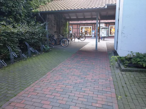
La Villetta
Restaurant · Italian
14 Lange Straße, Diepholz
Mo-Th 09:00-11:30,12:00-14:00,17:30-22:00; We off; Fr...
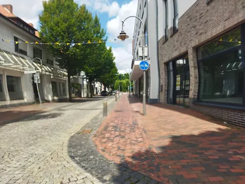
Restaurant Korfu
Restaurant · Greek
5 Lange Straße, Diepholz
Tu,We 17:30-22:00; Fr,Sa 17:30-22:30; Su 12:00-14:00,17:30-22:30

Bäckerei Overmeyer
Bakery · 5.6 km
85 Diepholzer Straße, Wetschen
Mo-Fr 06:00-18:00; Sa 06:00-12:30; Su 07:30-11:00
Hotel-Restaurant Ratsstuben
Restaurant · 7.5 km
16 Düversbrucher Straße, Rehden
Mo-Sa 17:00-23:00; Su 11:00-15:00
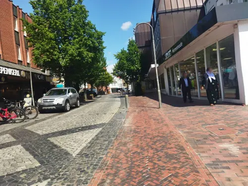
Kiepenkerl Café / Bäckerei
Bakery
40 Lange Straße, Diepholz
Mo-Fr 07:00-18:00; Sa 07:00-16:00; Su 07:30-16:00
Landbäckerei Niemeyer
Bakery · 7.5 km
5 Dickeler Straße, Rehden
Mo-Fr 06:00-19:00; Sa 06:00-18:00; Su 07:00-11:00
Landgasthaus Halfbrodt
Restaurant · 6.0 km
47 Hauptstraße, Drebber
Tu-Sa 17:00-24:00; Su 10:00-14:00,17:00-24:00
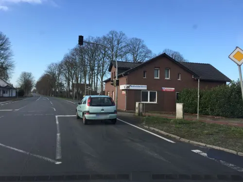
Overmeyer Bäckerei & Café
Bakery · 6.1 km
1 Dorfstraße, Drebber
Mo-Fr 05:30-18:30; Sa 05:30-13:00; Su 07:30-11:00
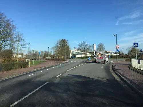


Al Taglio
Restaurant · Italian
13 Kolkstraße, Diepholz
Mo-Fr 11:00-14:00,17:00-20:00
55 more on the map.
Where to stay4
Churches and places of worship12
Evangelisch-Freikirchliche Gemeinde Diepholz
Church · Baptist · 1.8 km
132 Heeder Dorfstraße, Diepholz
Katholische Kirchengemeinde Christ-König Diepholz
Church · Catholic · 0.6 km
15 Schloßstraße, Diepholz
Shopping23
Gas and EV charging10
Schools, colleges and libraries18
Healthcare7
Map of Diepholz
196 places. The map loads OpenStreetMap tiles when you open it.
Getting there and nearby towns
Flugplatz Varrelbusch (VAC) is the nearest airport with scheduled flights listed in OpenStreetMap, 40 km away.
- Lohne 11 km northwest, about 11 min by car
- Vechta 15 km north, about 15 min by car
- Dinklage 18 km west, about 18 min by car
- Rahden 25 km southeast, about 25 min by car
- Twistringen 28 km northeast, about 28 min by car
- Emstek 29 km northwest, about 29 min by car
- Quakenbrück 29 km west, about 29 min by car
- Espelkamp 30 km southeast, about 30 min by car
- Sulingen 31 km east, about 31 min by car
- Wildeshausen 32 km north, about 32 min by car
Drive times are estimates from straight-line distance, not routes.
Local news
Headlines from INDB.
Reviews, tips and questions
Loading what members have shared...
Sources and licences
- GeoNames (CC BY 4.0): population, coordinates, regions and time zone
- Mapillary (see each image): photos
- OpenStreetMap contributors (ODbL 1.0): places, airports, map data
- Wikidata (CC0 1.0): elevation, founding date, time zone, website, landmarks and historic places
- Wikimedia Commons (see each image): photos
- Wikipedia (CC BY-SA 4.0): overview and history text
Photo credits
- Diepholz Fußgängerzone (01), Hombre, CC BY-SA 3.0
- Skulptur Elefant in Diepholz 0349, Foto: Gerd Fahrenhorst ; Skulptur: ??, CC BY 4.0
- Magnetfeld 86 Brunnen Diepholz 0347, Gerd Fahrenhorst, CC BY 4.0
- Magnetfeld 86 Brunnen Diepholz 0346, Gerd Fahrenhorst, CC BY 4.0
- Diepholzer Gänse 0343, Gerd Fahrenhorst, CC BY 4.0
- Magnetfeld 86 Brunnen Diepholz 0344, Gerd Fahrenhorst, CC BY 4.0
- Haustür ehem. Löwen-Apotheke Diepholz (2024), JoachimKohler-HB, CC BY-SA 4.0
- Diepholz - Lohnstr. 20, Corradox, CC BY 4.0
- Diepholz Vorderlohne St. Nicolai, Corradox, CC BY-SA 4.0
- Offener Bücherschrank Diepholz, Megalithicguy, CC BY-SA 4.0
- Diepholz - Lohnstr. 11, Corradox, CC BY 4.0
- Diepholz Lohnstr. 10, Corradox, CC BY 4.0
- Diepholz Lohnstraße 11, Corradox, CC BY 4.0
- Kreissparkasse Diepholz 0338, Gerd Fahrenhorst, CC BY 4.0
- Kreissparkasse Diepholz 0337, Gerd Fahrenhorst, CC BY 4.0
- Gänsebrunnen Diepholz 0334, Gerd Fahrenhorst, CC BY 4.0
- Gänsebrunnen Diepholz 0335, Gerd Fahrenhorst, CC BY 4.0
- Infotafel zum Brunnen Diepholzer Gänse 0336, Gerd Fahrenhorst, CC BY 4.0
- Gänsebrunnen Diepholz 0333, Gerd Fahrenhorst, CC BY 4.0
- Kreissparkasse Diepholz 0332, Gerd Fahrenhorst, CC BY 4.0
- Ev.-Luth. St. Nicolaikirche Diepholz - SO-Ansicht (2024), JoachimKohler-HB, CC BY-SA 4.0
- Diepholz, Lange Str. 35 (2024), JoachimKohler-HB, CC BY-SA 4.0
- Diepholz Lohnstraße 2, Corradox, CC BY 4.0
- Ehem. Schule Lange Str. 30 in Diepholz (2024), JoachimKohler-HB, CC BY-SA 4.0
- Ev.-Luth. St. Nicolaikirche Diepholz (2024), JoachimKohler-HB, CC BY-SA 4.0
- "Burgmannshof" Hinterstraße 14 in Diepholz (2024), JoachimKohler-HB, CC BY-SA 4.0
- Diepholz Lohnstraße 1a, Corradox, CC BY 4.0
- Diepholz Lange Straße 35 (Rosenblüte), Corradox, CC BY 4.0
- Schloss Diepholz (2024), JoachimKohler-HB, CC BY-SA 4.0
- Kreissparkasse Diepholz 0327, Gerd Fahrenhorst, CC BY 4.0
- AOK-Gebäude in Diepholz 0326, Gerd Fahrenhorst, CC BY 4.0
- Schloss Diepholz WNW (2024), JoachimKohler-HB, CC BY-SA 4.0
- Diepholz Schloss Herbst, Corradox, CC BY 4.0
- Kreishaus Diepholz 0325, Gerd Fahrenhorst, CC BY 4.0
- Diepholz Müntepark Multifunktionsfeld, Corradox, CC BY 4.0
- Diepholz Schlosshof, Corradox, CC BY 4.0
- Naturschutzgebiet Rehdener Geestmoor IMG 3296, Losch, CC BY-SA 3.0
- Boller Moor und Lange Lohe, C.Bekiaridis, CC BY 3.0
- Wollgräser des Diepholzer Moors, CatharinaStolte, CC BY-SA 3.0
- Aschen Heimatmuseum 2, Corradox, CC BY-SA 3.0
- GFS Diepholz 2014, Max U., Public domain
- Huntebruch, Kiwi05, CC BY-SA 4.0
- Diepholz Kirche St. Nicolai, Anaconda74, Public domain
- Kroge Steinfelder Moor, Corradox, CC BY-SA 4.0
- Südlohner Moor 2, Corradox, CC BY-SA 3.0
- Aschener Moor, Corradox, CC BY-SA 3.0
- Mariendrebber Kirche, Ulamm ( talk ), CC BY-SA 4.0
- Diepholz - Schloss Diepholz 02, Frank Schwichtenberg, CC BY-SA 3.0
- Moorsiedlung Hunte 1 Dorfmodell, Axel Hindemith, CC BY-SA 3.0
- Kreuzkirche Sankt Hülfe Heede, Marseille77 at German Wikipedia, CC BY-SA 3.0
- Street-level photo, live, CC BY-SA 4.0
- Street-level photo, changchun1, CC BY-SA 4.0
- Street-level photo, camdrive2000, CC BY-SA 4.0
- Street-level photo, xanu, CC BY-SA 4.0
- Street-level photo, changchun1, CC BY-SA 4.0
- Street-level photo, changchun1, CC BY-SA 4.0
- Street-level photo, live, CC BY-SA 4.0
- Street-level photo, xanu, CC BY-SA 4.0
- Street-level photo, xanu, CC BY-SA 4.0
- Street-level photo, xanu, CC BY-SA 4.0
- Street-level photo, Hightower-, CC BY-SA 4.0
- Street-level photo, lvl5, CC BY-SA 4.0
- Street-level photo, xanu, CC BY-SA 4.0
- Street-level photo, lvl5, CC BY-SA 4.0
- Street-level photo, camdrive2000, CC BY-SA 4.0


Page built November 8, 2026. Spotted a mistake? Tell us or suggest a place.