


Why visit Twistringen
Townapedia lists 17 museums and landmarks, 14 parks and trails, 59 places to eat, 9 places to stay and 5 attractions in and around town.
Highlights include Filmtheater Twistringen, Meyer's Hofladen, Fossiliengrube Twistringen and Museum der Strohverarbeitung.
Weather in Twistringen
Forecast from MET Norway (CC BY 4.0). Full forecast
About Twistringen
Twistringen (German pronunciation: [ˈtvɪstʁɪŋən] ; Low German: Twustern) is a town in the district of Diepholz, Lower Saxony, Germany. It is located approximately 30 km northeast of Diepholz, and 30 km southwest of Bremen. The source of the Delme river is located in the city. The most important attraction in Twistringen is the museum of straw processing.
From the Wikipedia article Twistringen (this version), under CC BY-SA 4.0.
Things to do5


Meyer's Hofladen
Farm and orchard · 2.3 km
10 Hinterm Holze, Twistringen
Mo-Th 08:00-13:00, Fr 08:00-18:00, Sa 09:00-12:00

Museums and landmarks17

Fossiliengrube Twistringen
Monument and historic site · 2.4 km
Öffentlich zugängliche Fossilientongrube
Grabhorststraße, Twistringen
Apr-Oct: 08:00-18:00



5 more on the map.
Parks, trails and playgrounds14




2 more on the map.
Restaurants and cafes59
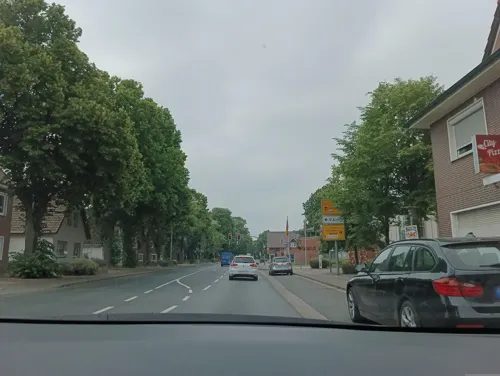
City Pizza Service
Restaurant · Pizza
10 Lindenstraße, Twistringen
Mo,We-Fr 11:00-22:00; Su,PH 12:00-22:00; Tu off
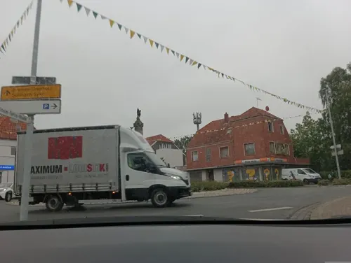
Culina
Restaurant · Mediterranean · 8.0 km
37 Bremer Straße, Bassum
Mo-Sa 17:30-24:00; Su 09:30-14:30,17:30-22:30

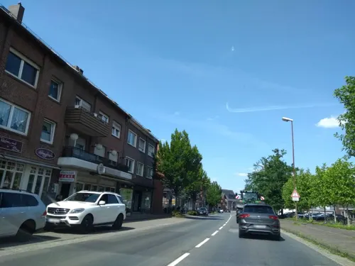
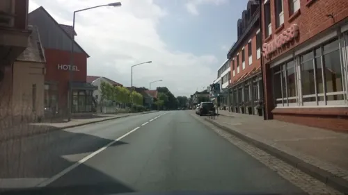
Lindencafé Deiermann
Bakery · 8.2 km
21 Bahnhofstraße, Bassum
Mo-Fr 07:00-17:00; Sa 07:00-16:00; PH off



47 more on the map.
History
Twistringen was first mentioned in a document in 1250 as "Thuisteringe". In this writing, all towns had to pay early contributions for the maintenance of the bridge over the Weser in Bremen. There was a parish in the city since approximately 825. After the Reformation in 1525, the parish Twistring was re-Catholicized in 1618. Located in a predominantly Protestant area, Twistringen was a Catholic enclave of the Prince-Bishopric of Münster. It has been a part of the Diocese Osnabrück since 1824. Today, Twistringen is still mainly Catholic.
Under French rule from 1811 to 1813, a modern road connection, the Napoleon Road (now called B 51) was built in Twistringen. In 1817, it became part of the Kingdom of Hanover.
Only after the construction of the rail connection between Bremen and Osnabrück in 1873, did Lutherans settle in the town again. These founded a Protestant-Lutheran congregation in 1891 and inaugurated their own church in 1894.
There was also a small Jewish community in Twistringen. Until 1938, there was a synagogue, which is still commemorated by a plaque. Somewhat outside of the center of Twistringen, there is still a Jewish cemetery.
From the History section of Twistringen on Wikipedia, under CC BY-SA 4.0.
Where to stay9
Churches and places of worship11
Shopping21
Gas and EV charging8
Schools, colleges and libraries11
Healthcare8
Tagesklinik für Psychiatrie und Psychotherapie
Clinic and pharmacy
15 Sankt-Annen-Straße, Twistringen
Map of Twistringen
163 places. The map loads OpenStreetMap tiles when you open it.
Getting there and nearby towns
Bremen Airport (BRE) is the nearest airport with scheduled flights listed in OpenStreetMap, 29 km away.
- Wildeshausen 17 km northwest, about 17 min by car
- Vechta 25 km west, about 25 min by car
- Bremen 33 km north, about 33 min by car
- Emstek 33 km west, about 33 min by car
- Verden 42 km east, about 42 min by car
- Wardenburg 41 km northwest, about 41 min by car
- Oldenburg 47 km northwest, about 47 min by car
- Kirchlinteln 48 km east, about 48 min by car
- Rehburg-Loccum 53 km southeast, about 53 min by car
- Wiefelstede 62 km northwest, about 1 h by car
Drive times are estimates from straight-line distance, not routes.
Local news
Headlines from INDB.
Reviews, tips and questions
Loading what members have shared...
Sources and licences
- GeoNames (CC BY 4.0): population, coordinates, regions and time zone
- Mapillary (see each image): photos
- OpenStreetMap contributors (ODbL 1.0): places, airports, map data
- Wikidata (CC0 1.0): elevation, founding date, time zone, website
- Wikimedia Commons (see each image): photos
- Wikipedia (CC BY-SA 4.0): overview and history text
Photo credits
- Twistringen Juli 2010 010, Bin im Garten, CC BY-SA 3.0
- Gymnasium Twistringen, Monster4711, CC0
- Sparkasse Twistringen 0268, Gerd Fahrenhorst, CC BY 4.0
- Sparkasse Twistringen 0269, Gerd Fahrenhorst, CC BY 4.0
- 25104200017 Twistringen Kriegerehrenmal Am Markt, Monster4711, CC0
- Figur und Tafelrelief Twistringen 0266, Gerd Fahrenhorst, CC BY 4.0
- Figur und Tafelrelief Twistringen 0267, Gerd Fahrenhorst, CC BY 4.0
- Figur und Tafelrelief Twistringen 0265, Gerd Fahrenhorst, CC BY 4.0
- Figur und Tafelrelief Twistringen 0264, Gerd Fahrenhorst, CC BY 4.0
- Twistringen, Grundschule am Markt 0273, Gerd Fahrenhorst, CC BY 4.0
- 25104200018 Twistringen Grundschule, Monster4711, CC0
- KrankenhausTwistringen 0262, Gerd Fahrenhorst, CC BY 4.0
- Oldenburgische Landesbank in Twistringen 0263, Gerd Fahrenhorst, CC BY 4.0
- Aus der Enge befreit,Twistringen 0260, Gerd Fahrenhorst, CC BY 4.0
- Aus der Enge befreit,Twistringen 0259, Gerd Fahrenhorst, CC BY 4.0
- KrankenhausTwistringen 0261, Gerd Fahrenhorst, CC BY 4.0
- 25104200015 Twistringen Mausoleum 2, Monster4711, CC0
- 25104200014 Twistringen Mausoleum 1, Monster4711, CC0
- 25104200030 Twistringen Wildeshäuser Straße 1, Monster4711, CC0
- 25104200021 Twistringen Villa, Monster4711, CC0
- Delmequelle in Twistringen, JürnC, CC BY-SA 4.0
- Delmequelle 2 in Twistringen, JürnC, CC BY-SA 4.0
- Raiffeisen Twistringen 0275, Gerd Fahrenhorst, CC BY 4.0
- Raiffeisen Twistringen 0282, Gerd Fahrenhorst, CC BY 4.0
- Twistringen, Am Bahnhof 0283, Gerd Fahrenhorst, CC BY 4.0
- Bftwistringen, Frank Weber, CC BY-SA 3.0
- TwistringenBahnhof, Namenlos(1) at German Wikipedia, Public domain
- Twistringen Strohmuseum Küche, Thomas F. Kramer, CC BY-SA 3.0
- 60344Neuenkirchen DH Kirche v SSO, Ulamm ( talk ), CC BY-SA 4.0
- Bassumer Friedeholz, Jacek Rużyczka, CC BY-SA 4.0
- 25104200016 Twistringen Katholische Pfarrkirche, Monster4711, CC0
- 25104200005 Twistringen Heiligenloh Kirche, Monster4711, CC BY-SA 3.0
- 25104200019 Twistringen Evangelische Pfarrkirche, Monster4711, CC0
- Bassum - Stiftskirche von Süden - 2019, Uwe Barghaan, CC BY-SA 3.0
- 25104200042 Twistringen Scharrendorf Ringwall Hünenburg, Monster4711, CC BY-SA 3.0
- Stift Bassum aus der Luft 002, Einwähler, CC BY-SA 3.0
- Street-level photo, Schnakel76, CC BY-SA 4.0
- Street-level photo, Schnakel76, CC BY-SA 4.0
- Street-level photo, thetornado76, CC BY-SA 4.0
- Street-level photo, geogast, CC BY-SA 4.0
- Street-level photo, Schnakel76, CC BY-SA 4.0
- Street-level photo, Schnakel76, CC BY-SA 4.0
- Street-level photo, Schnakel76, CC BY-SA 4.0
- Street-level photo, geogast, CC BY-SA 4.0
- Street-level photo, Schnakel76, CC BY-SA 4.0
- Street-level photo, Schnakel76, CC BY-SA 4.0
- Street-level photo, Schnakel76, CC BY-SA 4.0
- Street-level photo, Schnakel76, CC BY-SA 4.0
- Street-level photo, thetornado76, CC BY-SA 4.0
- Street-level photo, Schnakel76, CC BY-SA 4.0
- Street-level photo, Schnakel76, CC BY-SA 4.0
- Street-level photo, Schnakel76, CC BY-SA 4.0
- Street-level photo, Schnakel76, CC BY-SA 4.0
- Street-level photo, Schnakel76, CC BY-SA 4.0
- Street-level photo, StefanS79, CC BY-SA 4.0
- Street-level photo, Schnakel76, CC BY-SA 4.0


Page built November 8, 2026. Spotted a mistake? Tell us or suggest a place.