


Why visit Griesheim
Townapedia lists 26 museums and landmarks, 37 parks and trails, 113 places to eat, 8 places to stay and 6 attractions in and around town.
Highlights include Bauer Lipp Hofladen, Hofladen - Die Zwiebel, Darmstadt Hauptbahnhof and Mozartturm.
Weather in Griesheim
Forecast from MET Norway (CC BY 4.0). Full forecast
About Griesheim
Griesheim (German pronunciation: [ˈɡʁiːsˌhaɪm] ) is the largest town of the district Darmstadt-Dieburg in southern Hesse, Germany. It has just over 28,000 inhabitants as of December 2023.
From the Wikipedia article Griesheim, Hesse (this version), under CC BY-SA 4.0.
Things to do6

Hofladen - Die Zwiebel
Farm and orchard · 1.1 km
1 Spargelhof, Griesheim
Mo-Fr 09:00-18:30, Sa 08:00-16:00, Apr-Jun: Mo-Su 08:00-19:00

Darmstadt State Theater
Cinema and theater · 5.5 km
Theatre and opera house in Darmstadt, Germany
Museums and landmarks26


New Synagogue (Darmstadt)
Museum · 5.9 km
Post-War memorial synagogue and Jewish cultural centre in Hesse, Germany

Residential Palace Darmstadt
Museum · 6.1 km
Castle in Darmstadt, Germany
14 more on the map.
Parks, trails and playgrounds37



Ehemaliger August-Euler-Flugplatz von Darmstadt
Hiking and trails · 1.2 km



Torfkaute - Bannholz von Dornheim-Wolfskehlen
Hiking and trails · 4.4 km


25 more on the map.
Restaurants and cafes113
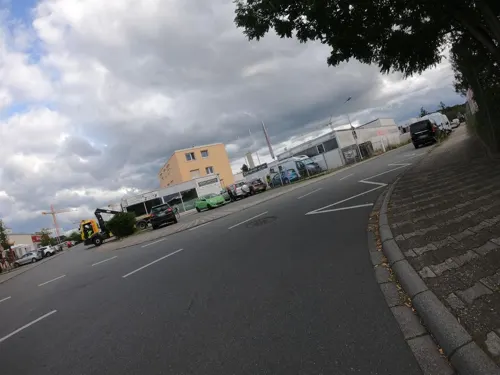
Asienpalast
Restaurant · Asian, Mongolian Grill, Japanese, Chinese, Thai · 4.0 km
Anscheinend mittags (um 13 Uhr) ein kleineres und nachmittags (ab 15 Uhr) ein umfangreicheres All-you-can-eat-Buffet (Selbstbedienung),...
4 Am Dornbusch, Weiterstadt
Mo off; Tu-Th 11:30-14:30,17:30-23:00; Fr-Su,PH 11:30-23:00

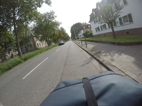
Akropolis
Restaurant · Greek · 3.9 km
27 Dornheimer Weg, Darmstadt
Mo-Fr 17:00-23:00; Sa-Su 11:30-14:30, 17:00-23:00
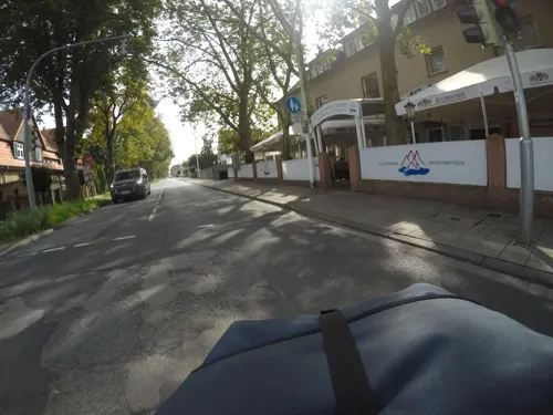
Attilo’s Mare Monti
Restaurant · Italian · 3.6 km
72 Dornheimer Weg, Darmstadt
Tu-Su 11:30-14:30, 17:30-23:00
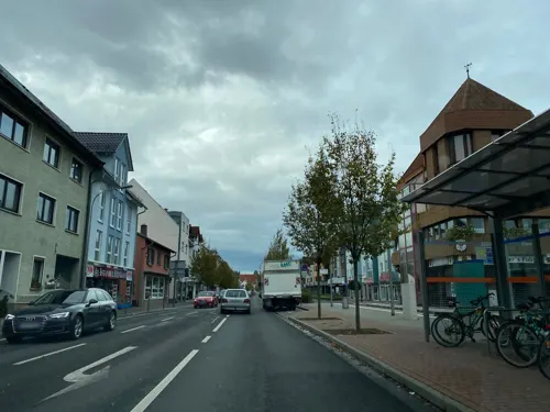
Bistro Cafe Piazza
Restaurant · Italian
107 Bessunger Straße, Griesheim
Mo-Th 17:00-22:00; Fr,Sa 17:00-23:00; Su 12:00-14:00,17:00-22:00
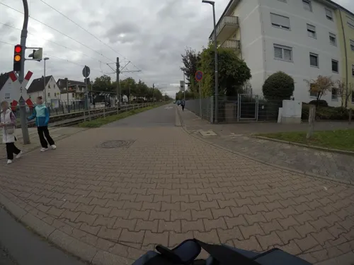
Bocca D'oro
Restaurant · Italian · 0.6 km
160a Wilhelm-Leuschner-Straße, Griesheim
Tu-Su 11:30-14:30,18:00-23:00; Mo off
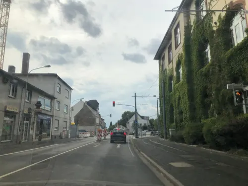
Chiangmai
Restaurant · Thai · 1.2 km
7 Wilhelm-Leuschner-Straße, Griesheim
Tu-Su 11:30-15:00,17:30-22:00
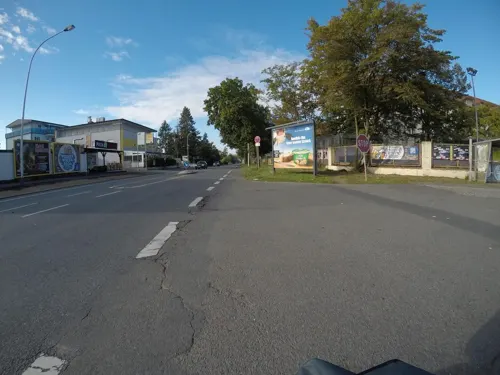


Memo Steak und Grillhaus
Restaurant · Turkish
95 Wilhelm-Leuschner-Straße, Griesheim
Mo-Su 08:00-23:00
101 more on the map.
History
Griesheim, although inhabited since around 4500 BCE, first appeared in historical records only in 1165 CE. The arrival of the Protestant Reformation in 1529 marked an important religious turning point for the town.
Throughout its history, wine production played a significant role in the town's economy. However, the devastating impact of the Thirty Years' War heavily affected Griesheim, almost bringing the town to extinction. Many residents sought refuge within the walls of Darmstadt, where they faced the outbreak of plague. Only 37 individuals managed to rebuild the community following the war's end in 1648.
In 1874, an artillery range was established in the southwest part of Griesheim. In 1908, August Euler opened the first airfield in Germany, known as Griesheim Airport.
From 1918 to 1930, Griesheim was under French occupation, and the city suffered significant damage during World War II, with 65% of its buildings destroyed. After the war, Griesheim provided shelter for approximately 4,000 refugees. Following successful reconstruction, the Hessian state government granted Griesheim township rights on September 12, 1965.
Farming remains an important aspect of Griesheim's economy. The city is home to a local history and culture museum, showcasing archaeological artifacts and documenting its historical connection to St. Stephen. The museum also houses archaeological exhibits.
From the History section of Griesheim, Hesse on Wikipedia, under CC BY-SA 4.0.
Where to stay8
Churches and places of worship10
Evangelische Paul Gerhardt-Gemeinde Darmstadt
Church · Protestant · 3.7 km
43 Rabenaustraße, Darmstadt
Shopping33
Gas and EV charging7
Schools, colleges and libraries18
Healthcare6
Map of Griesheim
250 places. The map loads OpenStreetMap tiles when you open it.
Getting there and nearby towns
Frankfurt Airport (FRA) is the nearest airport with scheduled flights listed in OpenStreetMap, 18 km away.
- Weiterstadt 5 km north, about 5 min by car
- Darmstadt 6 km east, about 6 min by car
- Büttelborn 6 km northwest, about 6 min by car
- Pfungstadt 7 km south, about 7 min by car
- Groß-Gerau 9 km northwest, about 9 min by car
- Nauheim 13 km northwest, about 13 min by car
- Ober-Ramstadt 13 km east, about 13 min by car
- Gernsheim 13 km southwest, about 13 min by car
- Roßdorf 14 km east, about 14 min by car
- Trebur 14 km northwest, about 14 min by car
Drive times are estimates from straight-line distance, not routes.
Local news
Headlines from INDB.
Reviews, tips and questions
Loading what members have shared...
Sources and licences
- GeoNames (CC BY 4.0): population, coordinates, regions and time zone
- Mapillary (see each image): photos
- OpenStreetMap contributors (ODbL 1.0): places, airports, map data
- Wikidata (CC0 1.0): elevation, founding date, time zone, website, landmarks and historic places
- Wikimedia Commons (see each image): photos
- Wikipedia (CC BY-SA 4.0): overview and history text
Photo credits
- Denkmal-Griesheim-33, K-H.Menges, CC BY-SA 4.0
- Denkmal-Griesheim-50, K-H.Menges, CC BY-SA 4.0
- Denkmal-Griesheim-49, K-H.Menges, CC BY-SA 4.0
- Denkmal-Griesheim-48, K-H.Menges, CC BY-SA 4.0
- Griesheim, stadhuis IMG 1206 2024-05-23 10.00, Michielverbeek, CC BY 4.0
- Denkmal-Griesheim-47, K-H.Menges, CC BY-SA 4.0
- Heilig-Kreuz-Kirche (Griesheim), Muck, CC BY-SA 4.0
- Friedrich-Ebert-Schule (Griesheim)-01, Muck, CC0
- Friedrich-Ebert-Schule (Griesheim)-02-Portal, Muck, CC0
- Friedrich-Ebert-Schule (Griesheim)-03, Muck, CC0
- Friedrich-Ebert-Schule (Griesheim)-04, Muck, CC0
- Griesheim-Carlo-Mierendorf-Schule, Hewiha, CC BY-SA 4.0
- Griesheim, Kriegerdenkmal 1939-45, Muck, CC BY-SA 4.0
- Friedhof Griesheim-01, Muck, CC BY-SA 4.0
- Griesheim, Kriegerdenkmal 1870-71-Detail, Muck, CC BY-SA 4.0
- Griesheim, Kriegerdenkmal 1914-18, Muck, CC BY-SA 4.0
- Griesheim, Kriegerdenkmal 1870-71, Muck, CC BY-SA 4.0
- Friedhof Griesheim-03, Muck, CC BY-SA 4.0
- Friedhof Griesheim-02, Muck, CC BY-SA 4.0
- Karlstraße 5, 1, Griesheim, Landkreis Darmstadt-Dieburg, GeorgDerReisende, CC BY-SA 4.0
- Friedhof Griesheim-04, Muck, CC BY-SA 4.0
- Spieltisch-Walcker-Orgel-in-St-Stephan-Griesheim, WQuadix, CC0
- Walcker-Orgel-St-Stephan-Griesheim, WQuadix, CC0
- Bücherschrank, 1, Wilhelm-Leuschner-Straße, Griesheim, Landkreis Darmstadt-Dieburg, GeorgDerReisende, CC BY-SA 4.0
- Stolpersteinlage, 2, Karlstraße 5, Griesheim, Landkreis Darmstadt-Dieburg, GeorgDerReisende, CC BY-SA 4.0
- Stolperstein Hans Berberich, 1, Karlstraße 5, Griesheim, Landkreis Darmstadt-Dieburg, GeorgDerReisende, CC BY-SA 4.0
- Stolperstein Siegfried Berberich, 1, Karlstraße 5, Griesheim, Landkreis Darmstadt-Dieburg, GeorgDerReisende, CC BY-SA 4.0
- Stolperstein Rebecca Stern, 1, Karlstraße 5, Griesheim, Landkreis Darmstadt-Dieburg, GeorgDerReisende, CC BY-SA 4.0
- Stolperstein Karl Stern, 1, Karlstraße 5, Griesheim, Landkreis Darmstadt-Dieburg, GeorgDerReisende, CC BY-SA 4.0
- Stolperstein Ida Berberich, 1, Karlstraße 5, Griesheim, Landkreis Darmstadt-Dieburg, GeorgDerReisende, CC BY-SA 4.0
- Stolpersteinlage, 1, Karlstraße 5, Griesheim, Landkreis Darmstadt-Dieburg, GeorgDerReisende, CC BY-SA 4.0
- Wilhelm-Leuschner-Straße 22, 1, Griesheim, Landkreis Darmstadt-Dieburg, GeorgDerReisende, CC BY-SA 4.0
- Darmstadt Georg-Büchner-Platz 05a Staatstheater, Photo: Andreas Praefcke, CC BY 3.0
- Darmstadt Friedensplatz 1 Hessisches Landesmuseum 001, Aidexxx, CC BY-SA 4.0
- New Synagogue Darmstadt, Brian Clarke, CC BY-SA 4.0
- Vortex Garten Darmstadt II, Reibundweise, CC BY-SA 3.0
- Mathildenhoehe Russische Kapelle Pano 2, Eva K., GFDL 1.2
- Einfahrt zum Campus Dieburg der h da, Photopippo, CC BY-SA 3.0
- Karo5 Eingangsgebaeude Verwaltungsgebaeude TU Darmstadt, Grffine, CC0
- MetOp-A & -B spacecraft model, NASA, Public domain
- EUMETSAT Meteosat model, No machine-readable author provided. Ysangkok assumed (based on copyright claims)., Public domain
- Griesheimer Düne 2012, Thiotrix, CC BY-SA 3.0
- Mozartturm01, Henward, CC BY-SA 3.0
- Griesheimer Bruch, Hamali314, CC BY-SA 4.0
- Denkmal-Griesheim-05, K-H.Menges, CC BY-SA 4.0
- DA-August-Euler-Flughafen-Westen, Störfix, CC BY-SA 3.0 de
- Löserbecken Weiterstadt 20200827 07, Shi Annan, CC BY-SA 4.0
- Sentinel-6 Jason-CS spacecraft model, NASA, Public domain
- Heilig Kreuz (Darmstadt)-01, Muck, CC BY-SA 4.0
- Paul-Gerhardt-Kirche, Stefan Oemisch, CC BY-SA 4.0
- Darmstadt Hotel Moxy, Reise Reise, CC BY-SA 4.0
- Darmstadt Bahnhof-2, Mauritsvink, Public domain
- EUMETSAT – Model of Sentinel-3, Neq00, CC BY-SA 4.0
- Street-level photo, tmka, CC BY-SA 4.0
- Street-level photo, chuck, CC BY-SA 4.0
- Street-level photo, chuck, CC BY-SA 4.0
- Street-level photo, mfa, CC BY-SA 4.0
- Street-level photo, chuck, CC BY-SA 4.0
- Street-level photo, mfa, CC BY-SA 4.0
- Street-level photo, mfa, CC BY-SA 4.0
- Street-level photo, felixg93, CC BY-SA 4.0
- Street-level photo, mfa, CC BY-SA 4.0
- Street-level photo, chuck, CC BY-SA 4.0
- Street-level photo, mfa, CC BY-SA 4.0
- Street-level photo, chuck, CC BY-SA 4.0
- Street-level photo, mfa, CC BY-SA 4.0
- Street-level photo, mfa, CC BY-SA 4.0
- Street-level photo, chuck, CC BY-SA 4.0
- Street-level photo, mfa, CC BY-SA 4.0
- Street-level photo, felixg93, CC BY-SA 4.0
- Street-level photo, chuck, CC BY-SA 4.0
- Street-level photo, chuck, CC BY-SA 4.0
- Street-level photo, chuck, CC BY-SA 4.0
- Street-level photo, chuck, CC BY-SA 4.0
- Street-level photo, wegavision, CC BY-SA 4.0
- Street-level photo, chuck, CC BY-SA 4.0
- Street-level photo, chuck, CC BY-SA 4.0


Page built November 8, 2026. Spotted a mistake? Tell us or suggest a place.