


Why visit Groß-Gerau
Townapedia lists 80 museums and landmarks, 51 parks and trails, 166 places to eat, 12 places to stay and 8 attractions in and around town.
Highlights include Bauer Lipp - Verkaufsstand, Graf-Noll Erdbeerkulturen, Heimatmuseum and Gedenktafel Pogromnacht.
Weather in Groß-Gerau
Forecast from MET Norway (CC BY 4.0). Full forecast
About Groß-Gerau
Groß-Gerau (German: [ɡʁoːsˈɡeːʁaʊ]) is the district seat of the Groß-Gerau district, lying in the southern Frankfurt Rhein-Main Region in Hesse, Germany, and serving as a hub for the surrounding area. In 1994, the town hosted the 34th Hessentag state festival.
From the Wikipedia article Groß-Gerau (this version), under CC BY-SA 4.0.
Things to do8

Bauer Lipp - Verkaufsstand
Farm and orchard · 3.7 km
Georg-Mischlich-Platz
Mo-Th 10:00-18:00; Fr-Sa 09:00-18:00
Hofladen Kuhlmann
Farm and orchard · 3.5 km
15 Berzallee, Nauheim
Mo,Tu,Th,Fr 09:30-12:00,15:30-18:00; Sa 09:30-13:00

Kastanienhof
Farm and orchard · 5.5 km
7 Große Grabengasse, Trebur
Mo-Sa 09:00-20:00, Su 11:00-16:00
Museums and landmarks80


Gedenktafel Pogromnacht
Monument and historic site
Im November 2005 wurde der Platz, auf dem die ehemalige Synagoge stand, neu gestaltet. Der Künstler Mario Derra schuf unter Einbeziehung...
Adolf-Göbel-Straße, Groß-Gerau

Wasserturm Groß-Gerau
Monument and historic site · 0.9 km
3 Sudetenstraße, Groß-Gerau





68 more on the map.
Parks, trails and playgrounds51


Erlenwiese und Kratzenau von Groß-Gerau und Nauheim
Hiking and trails · 2.6 km



39 more on the map.
Restaurants and cafes166
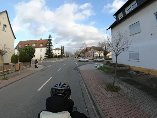
Akropolis
Restaurant · Greek, German · 3.9 km
40 Unter der Muschel, Nauheim
Tu-Sa,Su,PH 11:30-14:00,17:00-24:00

Altes Gericht
Restaurant · German
31 Darmstädter Straße, Groß-Gerau
Mo,We-Th 17:00-23:00; Fr-Sa 17:30-24:00; Su 16:00-22:00
Asienpalast
Restaurant · Asian · 1.7 km
5 Helvetiastraße, Groß-Gerau
Mo,We-Sa 11:30-14:30,17:30-22:00; Su 11:30-22:00
Blitz am Schloss
Restaurant · Pizza, Italian, Kebab · 6.3 km
3 Ernst-Ludwig-Straße, Weiterstadt
Mo,We-Su 10:30-22:30
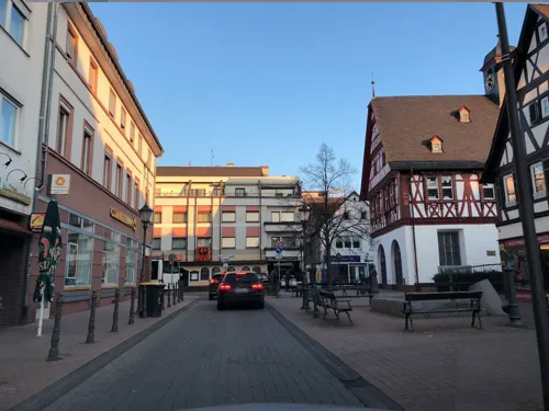
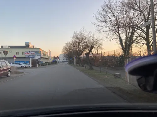
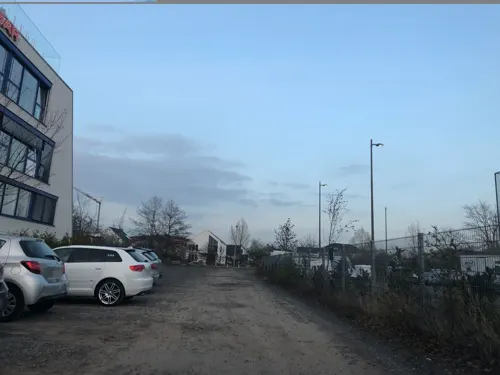
Freeway American Restaurant
Restaurant · Burger, American · 6.4 km
6 Lise-Meitner-Straße, Rüsselsheim am Main
Mo-Th 16:30-00:00, Fr-Sa 16:30-01:00, Su 12:00-23:00
Gaststätte Elena
Restaurant · Greek · 6.2 km
21 Forststraße, Weiterstadt
Tu-Su,PH 17:00-18:00+, Su 11:00-14:00; Mo off
Gaststätte Turnerheim
Restaurant · German · 5.9 km
30 Stockstraße, Rüsselsheim am Main
Mo-Fr 18:00-24:00; We off; Su 10:00-20:00
Hessischer Hof
Restaurant · German, Greek · 3.3 km
37 Bahnhofstraße, Nauheim
Mo-Sa 17:00-23:00; Su,PH off
La Terrazza
Restaurant · German, Italian · 3.8 km
75 Am Schlag, Groß-Gerau
11:30-21:00; Sa off "Samstags gerne auf Anfrage"


Lang Xua
Restaurant · Vietnamese · 4.9 km
37 Im Reis, Rüsselsheim am Main
Mo-Su 11:30-15:00,17:00-22:00
154 more on the map.
History
Already by Roman times, the area forming today's town of Groß-Gerau had great importance. A fort in the area of the constituent community of Auf Esch ensured a bridgehead for the Roman provincial capital of Moguntiacum (Mainz), even before the Limes was established and southern Hesse became Roman. Federal Highway (Bundesstraße) B44 from the southern tip of the old pheasantry (at Auf Esch) to Dornheim corresponds exactly with the old Roman road from Mainz through Groß-Gerau to Ladenburg. It led to the fort's south gate. With the founding of the Civitas Auderiensium (Dieburg), the fort was forsaken. The camp (vicus) remained and became a market village. The fact that this vicus and the later mentioned Wasserburg Dornberg (moat-ringed castle) corresponded very closely in location would be no accident.
From the History section of Groß-Gerau on Wikipedia, under CC BY-SA 4.0.
Where to stay12
Churches and places of worship28
Ev. Kirche
Church · Protestant · 3.0 km
29 Mainzer Straße, Büttelborn
Evangelische Kirche Wallerstädten
Church · Protestant · 2.9 km
1 Johann-Peter-Hehl-Straße, Groß-Gerau
Shopping40
Gas and EV charging11
Schools, colleges and libraries27
Healthcare17
Map of Groß-Gerau
250 places. The map loads OpenStreetMap tiles when you open it.
Getting there and nearby towns
Frankfurt Airport (FRA) is the nearest airport with scheduled flights listed in OpenStreetMap, 12 km away.
- Büttelborn 4 km southeast, about 4 min by car
- Nauheim 4 km northwest, about 4 min by car
- Königstädten 5 km northwest, about 5 min by car
- Trebur 5 km west, about 5 min by car
- Weiterstadt 8 km east, about 8 min by car
- Rüsselsheim am Main 9 km northwest, about 9 min by car
- Raunheim 10 km north, about 10 min by car
- Ginsheim-Gustavsburg 11 km northwest, about 11 min by car
- Bischofsheim 12 km northwest, about 12 min by car
- Darmstadt 13 km southeast, about 13 min by car
Drive times are estimates from straight-line distance, not routes.
Local news
Headlines from INDB.
Reviews, tips and questions
Loading what members have shared...
Sources and licences
- GeoNames (CC BY 4.0): population, coordinates, regions and time zone
- Mapillary (see each image): photos
- OpenStreetMap contributors (ODbL 1.0): places, airports, map data
- Wikidata (CC0 1.0): elevation, founding date, time zone, website
- Wikimedia Commons (see each image): photos
- Wikipedia (CC BY-SA 4.0): overview and history text
Photo credits
- Gross Gerau Rathaus 01, Armin Kübelbeck -- Kuebi 08:40, 17 May 2007 (UTC), CC BY-SA 3.0
- Stolperstein Hedwig Kaufmann, 1, Am Sandböhl 8, Groß-Gerau, Landkreis Groß-Gerau, GeorgDerReisende, CC BY-SA 4.0
- Stolpersteinlage, 1, Am Sandböhl 8, Groß-Gerau, Landkreis Groß-Gerau, GeorgDerReisende, CC BY-SA 4.0
- Stolperstein Michael Marx, 1, Am Sandböhl 8, Groß-Gerau, Landkreis Groß-Gerau, GeorgDerReisende, CC BY-SA 4.0
- Stolperstein Johanna Kossmann, 1, Am Sandböhl 8, Groß-Gerau, Landkreis Groß-Gerau, GeorgDerReisende, CC BY-SA 4.0
- Stolperstein Albert Kaufmann, 1, Am Sandböhl 8, Groß-Gerau, Landkreis Groß-Gerau, GeorgDerReisende, CC BY-SA 4.0
- Stolperstein Hedwig Marx, 1, Am Sandböhl 8, Groß-Gerau, Landkreis Groß-Gerau, GeorgDerReisende, CC BY-SA 4.0
- Stolperstein Martin Marx, 1, Am Sandböhl 8, Groß-Gerau, Landkreis Groß-Gerau, GeorgDerReisende, CC BY-SA 4.0
- Am Sandböhl 8, 2, Groß-Gerau, Landkreis Groß-Gerau, GeorgDerReisende, CC BY-SA 4.0
- Stolpersteinlage, 2, Am Sandböhl 8, Groß-Gerau, Landkreis Groß-Gerau, GeorgDerReisende, CC BY-SA 4.0
- Am Sandböhl 8, 1, Groß-Gerau, Landkreis Groß-Gerau, GeorgDerReisende, CC BY-SA 4.0
- Groß-Gerau Rathaus Südflügel 20110524, Rudolf Stricker, Attribution
- Groß-Gerau altes Rathaus 20110504, Rudolf Stricker, Attribution
- Frankfurter Straße 22, 1, Groß-Gerau, Landkreis Groß-Gerau, GeorgDerReisende, CC BY-SA 4.0
- Mainzer Straße 7, 1, Groß-Gerau, Landkreis Groß-Gerau, GeorgDerReisende, CC BY-SA 4.0
- Stolpersteinlage, 2, Frankfurter Straße 22, Groß-Gerau, Landkreis Groß-Gerau, GeorgDerReisende, CC BY-SA 4.0
- Stolperstein Johanna Helene Schwarz, 1, Frankfurter Straße 22, Groß-Gerau, Landkreis Groß-Gerau, GeorgDerReisende, CC BY-SA 4.0
- Stolpersteinlage, 1, Frankfurter Straße 22, Groß-Gerau, Landkreis Groß-Gerau, GeorgDerReisende, CC BY-SA 4.0
- Stolperstein Klara Else Sulzbacher, 1, Frankfurter Straße 22, Groß-Gerau, Landkreis Groß-Gerau, GeorgDerReisende, CC BY-SA 4.0
- Stolperstein Salomon Marx, 1, Frankfurter Straße 22, Groß-Gerau, Landkreis Groß-Gerau, GeorgDerReisende, CC BY-SA 4.0
- Stolperstein Ruth Grete Schwarz, 1, Frankfurter Straße 22, Groß-Gerau, Landkreis Groß-Gerau, GeorgDerReisende, CC BY-SA 4.0
- Stolperstein Jakob Nachmann, 1, Frankfurter Straße 22, Groß-Gerau, Landkreis Groß-Gerau, GeorgDerReisende, CC BY-SA 4.0
- Stolpersteinlage, 2, Darmstädter Straße 1, Groß-Gerau, Landkreis Groß-Gerau, GeorgDerReisende, CC BY-SA 4.0
- Darmstädter Straße 1, 1, Groß-Gerau, Landkreis Groß-Gerau, GeorgDerReisende, CC BY-SA 4.0
- Stolperstein Herta Kahn, 1, Darmstädter Straße 1, Groß-Gerau, Landkreis Groß-Gerau, GeorgDerReisende, CC BY-SA 4.0
- Stolpersteinlage, 1, Darmstädter Straße 1, Groß-Gerau, Landkreis Groß-Gerau, GeorgDerReisende, CC BY-SA 4.0
- Stolperstein Minna Kahn, 1, Darmstädter Straße 1, Groß-Gerau, Landkreis Groß-Gerau, GeorgDerReisende, CC BY-SA 4.0
- Stolperstein Gertrude Kahn, 1, Darmstädter Straße 1, Groß-Gerau, Landkreis Groß-Gerau, GeorgDerReisende, CC BY-SA 4.0
- Mainzer Straße 8, 1, Groß-Gerau, Landkreis Groß-Gerau, GeorgDerReisende, CC BY-SA 4.0
- Darmstädter Straße 10, 1, Groß-Gerau, Landkreis Groß-Gerau, GeorgDerReisende, CC BY-SA 4.0
- Stolperstein Julius Kahn, 1, Darmstädter Straße 10, Groß-Gerau, Landkreis Groß-Gerau, GeorgDerReisende, CC BY-SA 4.0
- Stolperstein Karl Kahn, 1, Darmstädter Straße 10, Groß-Gerau, Landkreis Groß-Gerau, GeorgDerReisende, CC BY-SA 4.0
- Stolperstein Johanna Kahn, 1, Darmstädter Straße 10, Groß-Gerau, Landkreis Groß-Gerau, GeorgDerReisende, CC BY-SA 4.0
- Stolperstein Leopold Kahn, 1, Darmstädter Straße 10, Groß-Gerau, Landkreis Groß-Gerau, GeorgDerReisende, CC BY-SA 4.0
- Stolperstein Frieda Kahn, 1, Darmstädter Straße 10, Groß-Gerau, Landkreis Groß-Gerau, GeorgDerReisende, CC BY-SA 4.0
- Stolpersteinlage, 1, Darmstädter Straße 10, Groß-Gerau, Landkreis Groß-Gerau, GeorgDerReisende, CC BY-SA 4.0
- Stolpersteinlage, 2, Darmstädter Straße 10, Groß-Gerau, Landkreis Groß-Gerau, GeorgDerReisende, CC BY-SA 4.0
- Stolpersteinlage, 2, Mainzer Straße 7, Groß-Gerau, Landkreis Groß-Gerau, GeorgDerReisende, CC BY-SA 4.0
- Stolpersteinlage, 1, Mainzer Straße 7, Groß-Gerau, Landkreis Groß-Gerau, GeorgDerReisende, CC BY-SA 4.0
- Stolperstein Mathilde Oppenheimer, 1, Mainzer Straße 7, Groß-Gerau, Landkreis Groß-Gerau, GeorgDerReisende, CC BY-SA 4.0
- Laurentiuskirche vom Schwarzbach-Trebur, Phgffm, CC BY-SA 3.0
- Groß Gerau Rathaus 363-f, Pedelecs, CC BY-SA 3.0
- Sauergrund DSC 0146 Weg, Bernd Herd, CC BY-SA 4.0
- Bruchwiesen bei Büttelborn DSC 0244 Totale, Bernd Herd, CC BY-SA 4.0
- Ev Kirche Worfelden, DerNurNochAlsBilderlieferantMitmacht, CC0
- Wallerstädten evangelische Kirche 20110415, Rudolf Stricker, Attribution
- Synagoge gg 19 gedenken, Hgvoosm, CC BY-SA 4.0
- Gross-Gerau Wasserturm, Oberlausitzerin64, CC BY-SA 4.0
- Stolperstein alfred mattes, Hgvoosm, CC BY-SA 4.0
- Rathaus Buettelborn, HansPeterKlink, CC BY 3.0
- Stolperstein arnold mattes, Hgvoosm, CC BY-SA 4.0
- Stadtkirche gg, Hgvoosm, CC BY-SA 4.0
- Synagoge gg 19, Hgvoosm, CC BY-SA 4.0
- Büttelborn evangelische Kirche 20110310, Rudolf Stricker, Attribution
- Groß-Gerau Sankt-Walburga-Kirche 20110420, Rudolf Stricker, Attribution
- Synagoge gg 17, Hgvoosm, CC BY-SA 4.0
- Synagoge gg 18, Hgvoosm, CC BY-SA 4.0
- Polar f6f, Pascal Rehfeldt, CC BY-SA 3.0
- Groß-Gerau parko Fasanerie 3, Thomas Pusch, CC BY-SA 4.0
- Martin-Buber-Schule Gross-Gerau, Zornfalke ( Zornfalke ( talk )), CC BY-SA 3.0
- Stolperstein Alice Oppenheimer, 1, Mainzer Straße 7, Groß-Gerau, Landkreis Groß-Gerau, GeorgDerReisende, CC BY-SA 4.0
- Stolperstein Auguste Goldberger, 1, Mainzer Straße 22, Groß-Gerau, Landkreis Groß-Gerau, GeorgDerReisende, CC BY-SA 4.0
- Street-level photo, chuck, CC BY-SA 4.0
- Street-level photo, chuck, CC BY-SA 4.0
- Street-level photo, chuck, CC BY-SA 4.0
- Street-level photo, robffm, CC BY-SA 4.0
- Street-level photo, Planungsgesellschaft_RV-K_MB, CC BY-SA 4.0
- Street-level photo, robffm, CC BY-SA 4.0
- Street-level photo, chuck, CC BY-SA 4.0
- Street-level photo, chuck, CC BY-SA 4.0
- Street-level photo, chuck, CC BY-SA 4.0
- Street-level photo, mfa, CC BY-SA 4.0
- Street-level photo, chuck, CC BY-SA 4.0
- Street-level photo, chuck, CC BY-SA 4.0
- Street-level photo, chuck, CC BY-SA 4.0
- Street-level photo, chuck, CC BY-SA 4.0
- Street-level photo, chuck, CC BY-SA 4.0
- Street-level photo, b166er, CC BY-SA 4.0
- Street-level photo, chuck, CC BY-SA 4.0
- Street-level photo, chuck, CC BY-SA 4.0
- Street-level photo, chuck, CC BY-SA 4.0


Page built November 8, 2026. Spotted a mistake? Tell us or suggest a place.