


Why visit Ober-Ramstadt
Townapedia lists 80 museums and landmarks, 30 parks and trails, 87 places to eat, 7 places to stay and 20 attractions in and around town.
Highlights include Eichhof Hofladen, biokeller, O / W and DW.
Weather in Ober-Ramstadt
Forecast from MET Norway (CC BY 4.0). Full forecast
About Ober-Ramstadt
Ober-Ramstadt (German pronunciation: [ˈoːbɐ ˈʁamʃtat], lit. 'Upper Ramstadt', in contrast to "Lower Ramstadt") is a town in the Darmstadt-Dieburg district, in Hessen, Germany. It is situated 9 km southeast of Darmstadt. As of 2020, its population was 15,127.
From the Wikipedia article Ober-Ramstadt (this version), under CC BY-SA 4.0.
Things to do20

Eichhof Hofladen
Farm and orchard · 1.1 km
16 Im Seesengrund, Ober-Ramstadt
Tu 13:00-18:00; We 09:30-14:00; Th 13:00-18:00; Fr 09:30-14:00; Sa...

Darmstadt State Theater
Cinema and theater · 8.3 km
Theatre and opera house in Darmstadt, Germany



8 more on the map.
Museums and landmarks80



New Synagogue (Darmstadt)
Museum · 7.9 km
Post-War memorial synagogue and Jewish cultural centre in Hesse, Germany

Residential Palace Darmstadt
Museum · 8.2 km
Castle in Darmstadt, Germany
68 more on the map.
Parks, trails and playgrounds30





18 more on the map.
Restaurants and cafes87
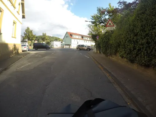
Chausseehaus
Restaurant · Schnitzel, Balkan, Pizza, Burger · 3.3 km
61 Bahnhofstraße, Mühltal
Mo-Tu off; We-Sa 17:00-22:00; Su 12:00-14:00,17:00-21:00
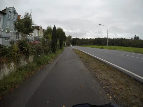
Landgasthof Spitzenwirt
Restaurant · German · 3.9 km
90 Darmstädter Straße, Roßdorf
Su-Fr 11:30-14:00; Mo-Su 17:30-23:00

Naturfreundehaus
Restaurant · Regional · 1.7 km
"Am Heidenacker", ganzjährig durchgehend warme Küche, deftige Gerichte, Kaffee, Kuchen.
100 Breitensteinweg, Ober-Ramstadt
11:00-22:00; We Off
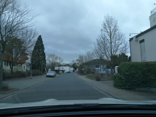
Afrodithe
Restaurant · Greek · 4.7 km
46 Hirschbachstraße, Reinheim
Mo-Sa 17:30 -01:00, Su,PH 11:30-14:30
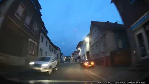
Cucina Caputo
Restaurant · Italian, Pizza
34 Darmstädter Straße, Ober-Ramstadt
Tu-Fr 11:00-14:30, Sa 17:00-22:30; PH off, Tu-Fr 17:00-22:00, Su...
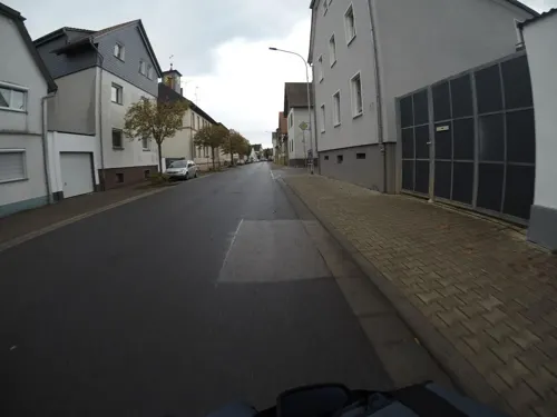
Gran Sasso
Restaurant · Italian · 5.2 km
44 Hauptstraße, Roßdorf
Mo Off;Tu 17:00-23:00;We-Su 12:00-14:00,17:00-23:00
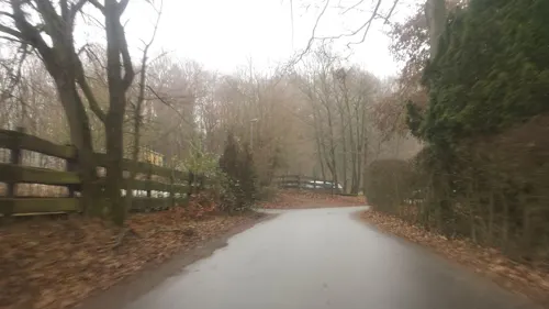
Hofgut Dippelshof
Restaurant · Regional · 2.7 km
1 Am Dippelshof, Mühltal
Mo 17:00-24:00; We-Sa 17:00-24:00; Su 11:30-15:00
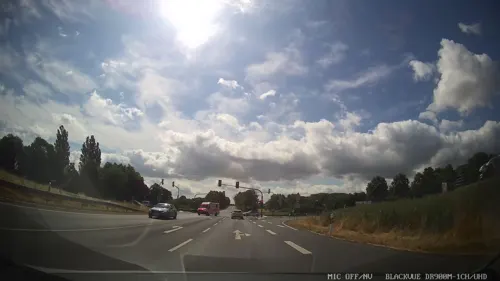
Pizza Hut
Restaurant · Pizza · 3.9 km
20 Heinz-Friedrich-Straße, Roßdorf
Su-Th 11:00-23:00,Fr-Mo 11:00-00:00
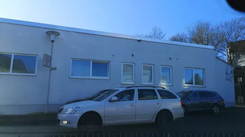
Pizzeria klein Italien
Restaurant · Italian · 4.5 km
2 An der Modau, Ober-Ramstadt
Mo 17:00-22:30; Tu-Su 11:00-22:30
Ristorante Pizzeria Tiramisu
Restaurant · Italian, Pizza · 3.4 km
61 Alte Bahnhofstraße, Roßdorf
Tu-Su 11:30-14:30,17:30-23:30


Wacker Ristorante
Restaurant · Italian · 2.6 km
96b Ober-Ramstädter Straße, Mühltal
Tu-Fr,Su 11:30-14:30,18:00-23:00; Sa 18:00-23:00; Mo off
75 more on the map.
History
Traces of first settlement have been found which date from the later Stone Age. Written evidence derives from 1310, when Eberhardt, Count of Katzenelnbogen received the same freedoms and rights as the city of Frankfurt for his town Ramstadt. This included the right to hold a market and to build fortifications around the town. During and after the Thirty Years' War, the bigger part of population died, mainly through pestilence.
In 1699, Ernest Louis, Landgrave of Hesse-Darmstadt allowed the Waldensians from the Piedmont valley of Pragelato to settle on his property in Rohrbach, Wembach and Hahn, which were left deserted as a result of the preceding war and pestilence. The Waldensians had to flee from their hometowns because of religious pursuits. Waldensians still have a vital religious community in Rohrbach-Wembach-Hahn. Until the end of the 19th century, waldensian school lessons were taught in French language.
Since the 19th century, Ober-Ramstadt began to industrialize. In 1895, Eduard Murjahn founded the „Deutsche Amphibolin-Werke“ (German Amphibolite Works), which today is market leader in the paints and enamels branch in Germany and other countries. In 1901, a centralized watersupply was set up, followed by electricity in 1907.
The town history can be seen in the town museum, located in the former town hall built in 1732.
From the History section of Ober-Ramstadt on Wikipedia, under CC BY-SA 4.0.
Where to stay7
Churches and places of worship27
Evangelische Kirche Roßdorf
Church · Protestant · 3.0 km
9 Erbacher Straße, Roßdorf
evangelische Kirche Modau
Church · Lutheran · 3.6 km
37 Kirchstraße, Ober-Ramstadt
Evangelische Kirche St. Georg
Church · Anglican · 4.3 km
36 Ollenhauerstraße, Reinheim
Waldensergemeinde
Church · Protestant · 3.7 km
114 Pragelatostraße, Ober-Ramstadt
Königreichssaal Jehovas Zeugen
Church · Jehovahs Witness · 4.9 km
66 Hirschbachstraße, Reinheim
Shopping34
Gas and EV charging9
Schools, colleges and libraries18
Healthcare8
Map of Ober-Ramstadt
250 places. The map loads OpenStreetMap tiles when you open it.
Getting there and nearby towns
Frankfurt Airport (FRA) is the nearest airport with scheduled flights listed in OpenStreetMap, 26 km away.
- Roßdorf 3 km north, about 3 min by car
- Darmstadt 8 km northwest, about 8 min by car
- Trebur 27 km northwest, about 27 min by car
- Hemsbach 28 km south, about 28 min by car
- Raunheim 29 km northwest, about 29 min by car
- Wald-Michelbach 30 km south, about 30 min by car
- Offenbach 30 km north, about 30 min by car
- Frankfurt am Main 32 km north, about 32 min by car
- Weinheim 32 km south, about 32 min by car
- Mainz 38 km northwest, about 38 min by car
Drive times are estimates from straight-line distance, not routes.
Local news
Headlines from INDB.
Reviews, tips and questions
Loading what members have shared...
Sources and licences
- GeoNames (CC BY 4.0): population, coordinates, regions and time zone
- Mapillary (see each image): photos
- OpenStreetMap contributors (ODbL 1.0): places, airports, map data
- Wikidata (CC0 1.0): elevation, founding date, time zone, website, landmarks and historic places
- Wikimedia Commons (see each image): photos
- Wikipedia (CC BY-SA 4.0): overview and history text
Photo credits
- Ober-Ramstadt Modau 01, Kuebi = Armin Kübelbeck, CC BY-SA 3.0
- Ober-Ramstadt-Neugasse4, Hewiha, CC BY-SA 4.0
- Ober-Ramstadt-MIAG (1)-Hundertwasserallee 7, Hewiha, CC BY-SA 4.0
- Ober-Ramstadt Ernst-Ludwig-Str3, Hewiha, CC BY-SA 4.0
- Ober-Ramstadt Ernst-Ludwig-Str1, Hewiha, CC BY-SA 4.0
- Ober-Ramstadt-Claude Monet Weg 2-4, Hewiha, CC BY-SA 4.0
- Ober-Ramstadt-Nieder-Ramstädter Str4, Hewiha, CC BY-SA 4.0
- Ober-Ramstadt-Leuschnerstr15, Hewiha, CC BY-SA 4.0
- Ober-Ramstadt Schulstraße13, Hewiha, CC BY-SA 4.0
- Ober-Ramstadt-Leuschnerstr31, Hewiha, CC BY-SA 4.0
- Ober-Ramstadt Ernst-Ludwig-Str16, Hewiha, CC BY-SA 4.0
- Ober-Ramstadt-Nieder-Ramstädter Str18-Vorderhaus, Hewiha, CC BY-SA 4.0
- Rathaus Ober-Ramstadt, Freak-Line-Community, CC BY-SA 4.0
- Ober-Ramstadt-Nieder-Ramstädter Str18-Rückgebäude, Hewiha, CC BY-SA 4.0
- Ober-Ramstadt-Baustraße 41a, Hewiha, CC BY-SA 4.0
- Ober-Ramstadt-Bahnhof, Hewiha, CC BY-SA 4.0
- Ober-Ramstadt-Nieder-Ramstädter Str18a-Gartenpavillon, Hewiha, CC BY-SA 4.0
- Ober-Ramstadt Schafgrabengasse 35, Hewiha, CC BY-SA 4.0
- Ober-Ramstadt-Baustraße 88, Hewiha, CC BY-SA 4.0
- Ober-Ramstadt-Baustraße 88 Gartenhaus, Hewiha, CC BY-SA 4.0
- Ober-Ramstadt Nebengebäude-Schafgrabengasse, Hewiha, CC BY-SA 4.0
- Ober-Ramstadt Darmstädter Str41(1), Hewiha, CC BY-SA 4.0
- Ober-Ramstadt, Evangelische Kirche-03, Muck, CC BY-SA 4.0
- Ober-Ramstadt Hofreite-Nebengebäude2-Sonngasse 4-6, Hewiha, CC BY-SA 4.0
- Ober-Ramstadt-Remise-Entengasse4, Hewiha, CC BY-SA 4.0
- Ober-Ramstadt Hofreite-Haupthaus-Sonngasse 4-6, Hewiha, CC BY-SA 4.0
- Ober-Ramstadt Hofreite-Nebengebäude1-Sonngasse 4-6, Hewiha, CC BY-SA 4.0
- Vertriebenendenkmal Ober-Ramstadt 1, Dvetter, CC BY-SA 4.0
- Ober-Ramstadt, Evangelische Kirche-04-innen, Muck, CC BY-SA 4.0
- Ober-Ramstadt, Evangelische Kirche-02, Muck, CC BY-SA 4.0
- Ober-Ramstadt, Evangelische Kirche-01, Muck, CC BY-SA 4.0
- Ober-Ramstadt-Historische Gräber, Hewiha, CC BY-SA 4.0
- Ober-Ramstadt Bachgasse1, Hewiha, CC BY-SA 4.0
- Ober-Ramstadt-Brückengasse 1, Hewiha, CC BY-SA 4.0
- Ober-Ramstadt-ehem Wachhäuschen, Hewiha, CC BY-SA 4.0
- Ober-Ramstadt Rathaus-Museum, Hewiha, CC BY-SA 4.0
- Ober-Ramstadt Nieder-Ramstädter Str33, Hewiha, CC BY-SA 4.0
- Ober-Ramstadt Grafengasse15, Hewiha, CC BY-SA 4.0
- Darmstadt Georg-Büchner-Platz 05a Staatstheater, Photo: Andreas Praefcke, CC BY 3.0
- Darmstadt Friedensplatz 1 Hessisches Landesmuseum 001, Aidexxx, CC BY-SA 4.0
- New Synagogue Darmstadt, Brian Clarke, CC BY-SA 4.0
- Darmstadt-Rosenhoehe-Rosendom, Heidas, CC BY-SA 3.0
- Vortex Garten Darmstadt II, Reibundweise, CC BY-SA 3.0
- Mathildenhoehe Russische Kapelle Pano 2, Eva K., GFDL 1.2
- Karo5 Eingangsgebaeude Verwaltungsgebaeude TU Darmstadt, Grffine, CC0
- Dommersberg, Axel Polsfuss, CC BY-SA 4.0
- Evg-Kirche-Frankenhausen, Hewiha, CC BY-SA 4.0
- Nieder-Ramstadt, DietG, CC BY-SA 3.0
- TraisaEvKirche1, Cttech01, CC BY-SA 3.0
- Klipsteingrab und Klipsteineiche, Danymu, CC BY-SA 4.0
- Darmstadt Darmbach 2006-02, Matthias Nonnenmacher, CC BY-SA 4.0
- 02 Großer und kleiner Bruch, Roßdorf(Darmstadt), Blick Richtung Norden vom Südzipfel aus, Christoph314, CC BY-SA 4.0
- Roßdorf Hessen-3, DietG, CC BY-SA 3.0
- Evangelische Kirche in Ober-Ramstadt, Tagtraeumer0815, CC BY 3.0
- Ober-Modau, St. Pankratius-01, Muck, CC BY-SA 4.0
- Rohrbach, Waldenserkirche-02, Muck, CC BY-SA 4.0
- Reinheim Ollenhauerstraße36 Kirche, Georgenhausen, CC BY-SA 4.0
- Hoher rodberg1, frrein, CC BY-SA 4.0
- Mühltal-Tempelchen am Lindenberg, Hewiha, CC BY-SA 4.0
- Street-level photo, mfa, CC BY-SA 4.0
- Street-level photo, mfa, CC BY-SA 4.0
- Street-level photo, chuck, CC BY-SA 4.0
- Street-level photo, wegavision, CC BY-SA 4.0
- Street-level photo, wegavision, CC BY-SA 4.0
- Street-level photo, wegavision, CC BY-SA 4.0
- Street-level photo, oschn0r, CC BY-SA 4.0
- Street-level photo, chuck, CC BY-SA 4.0
- Street-level photo, meisterplanlos, CC BY-SA 4.0
- Street-level photo, tux7770, CC BY-SA 4.0
- Street-level photo, mfa, CC BY-SA 4.0
- Street-level photo, derlipper, CC BY-SA 4.0
- Street-level photo, xma, CC BY-SA 4.0
- Street-level photo, ramap, CC BY-SA 4.0
- Street-level photo, ramap, CC BY-SA 4.0
- Street-level photo, wegavision, CC BY-SA 4.0
- Street-level photo, wegavision, CC BY-SA 4.0
- Street-level photo, wegavision, CC BY-SA 4.0
- Street-level photo, mfa, CC BY-SA 4.0
- Street-level photo, wegavision, CC BY-SA 4.0
- Street-level photo, ramap, CC BY-SA 4.0
- Street-level photo, chuck, CC BY-SA 4.0
- Street-level photo, wegavision, CC BY-SA 4.0
- Street-level photo, ramap, CC BY-SA 4.0
- Street-level photo, chuck, CC BY-SA 4.0
- Street-level photo, bct, CC BY-SA 4.0


Page built November 8, 2026. Spotted a mistake? Tell us or suggest a place.