


Why visit Roßdorf
Townapedia lists 45 museums and landmarks, 20 parks and trails, 50 places to eat, 6 places to stay and 4 attractions in and around town.
Highlights include Eichhof Hofladen, Südhessisches Handwerksmuseum Roßdorf, Jungsteinzeitliche Menhiranlage Hirtenwiese and Rosenhohe Park.
Weather in Roßdorf
Forecast from MET Norway (CC BY 4.0). Full forecast
About Roßdorf
Roßdorf (German pronunciation: [ˈʁɔsdɔʁf]) is a municipality in the district of Darmstadt-Dieburg, in Hesse, Germany. It has a population of 12,619 (as of 2020). It is situated 8 km east of Darmstadt.
From the Wikipedia article Roßdorf (this version), under CC BY-SA 4.0.
Travel tips from other travellers: Roßdorf on Wikivoyage (CC BY-SA 4.0).
Things to do4

Eichhof Hofladen
Farm and orchard · 2.5 km
16 Im Seesengrund, Ober-Ramstadt
Tu 13:00-18:00; We 09:30-14:00; Th 13:00-18:00; Fr 09:30-14:00; Sa...

Museums and landmarks45


Jungsteinzeitliche Menhiranlage Hirtenwiese
Monument and historic site · 2.8 km

Abraham, Ida und Ilse Wartensleben
Monument and historic site · 4.0 km
Abraham, Ida und Ilse Wartensleben
Josef und Thekla Wartensleben
Monument and historic site · 3.9 km
Josef und Thekla Wartensleben
Julie, Moses und Therese Bendorf
Monument and historic site · 3.6 km
Julie, Moses und Therese Bendorf
Käthe, Simon und Willi Bendorf
Monument and historic site · 3.4 km
Käthe, Simon und Willi Bendorf
Wolf und Jettchen Wartensleben
Monument and historic site · 3.6 km
Wolf und Jettchen Wartensleben
33 more on the map.
Parks, trails and playgrounds20




8 more on the map.
Restaurants and cafes50
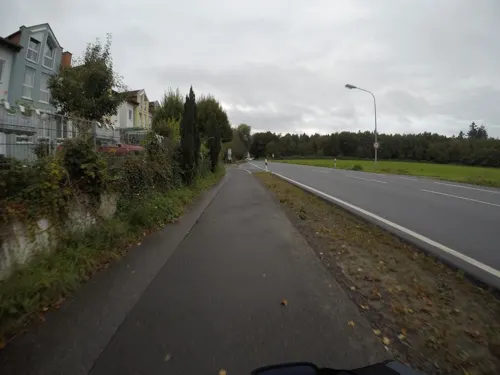
Landgasthof Spitzenwirt
Restaurant · German · 2.1 km
90 Darmstädter Straße, Roßdorf
Su-Fr 11:30-14:00; Mo-Su 17:30-23:00

Luigi’s Golf Restaurant
Restaurant · Italian · 3.5 km
132 Darmstädter Straße, Groß-Zimmern
Tu-Su 10:00-22:00; Mo off
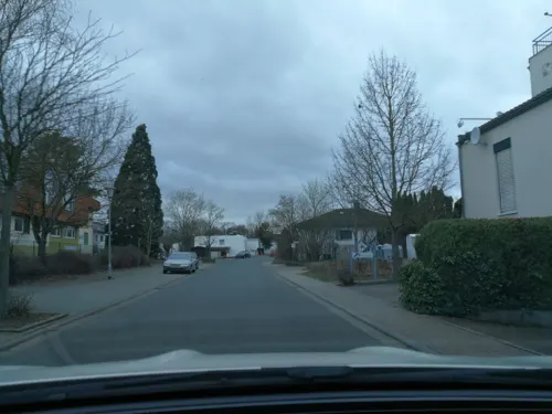
Afrodithe
Restaurant · Greek · 3.8 km
46 Hirschbachstraße, Reinheim
Mo-Sa 17:30 -01:00, Su,PH 11:30-14:30
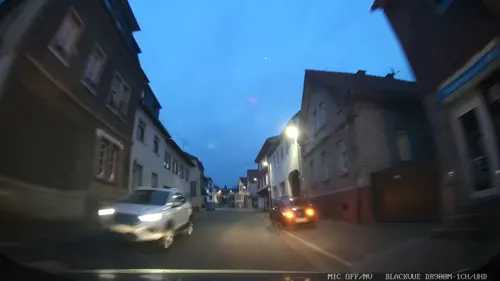
Cucina Caputo
Restaurant · Italian, Pizza · 3.6 km
34 Darmstädter Straße, Ober-Ramstadt
Tu-Fr 11:00-14:30, Sa 17:00-22:30; PH off, Tu-Fr 17:00-22:00, Su...
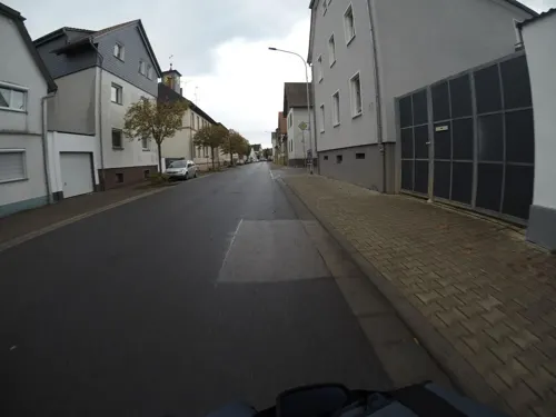
Gran Sasso
Restaurant · Italian · 2.2 km
44 Hauptstraße, Roßdorf
Mo Off;Tu 17:00-23:00;We-Su 12:00-14:00,17:00-23:00
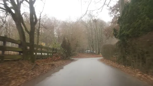
Hofgut Dippelshof
Restaurant · Regional · 3.5 km
1 Am Dippelshof, Mühltal
Mo 17:00-24:00; We-Sa 17:00-24:00; Su 11:30-15:00
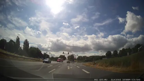
Pizza Hut
Restaurant · Pizza · 0.6 km
20 Heinz-Friedrich-Straße, Roßdorf
Su-Th 11:00-23:00,Fr-Mo 11:00-00:00
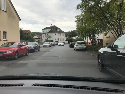
Ristorante Pizzeria Tiramisu
Restaurant · Italian, Pizza
61 Alte Bahnhofstraße, Roßdorf
Tu-Su 11:30-14:30,17:30-23:30
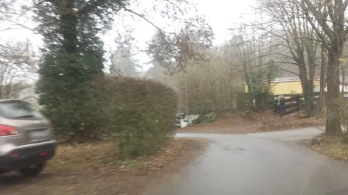
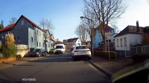
Akropolis "bei Kosta"
Restaurant · Greek · 3.5 km
2 Nieder-Ramstädter Straße, Ober-Ramstadt
Su-Th 11:30-15:00, 17:30-24:00; Fr-Sa 17:30-24:00

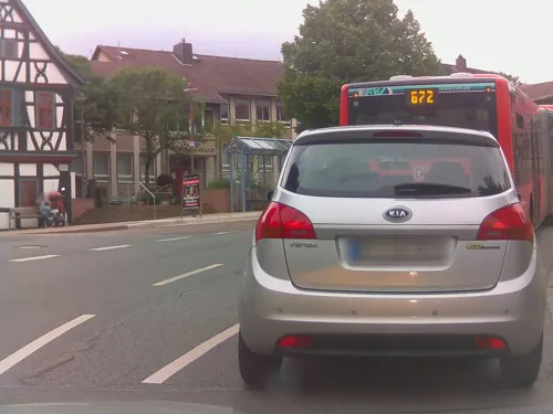


Bäckerei Schellhaas
Bakery
7 Erbacher Straße, Roßdorf
Mo-Fr 06:00-13:00,14:30-18:00; Sa 06:00-12:30; Su 08:00-10:30
38 more on the map.
History
The first official mention of Roßdorf is in the year 1250. At this time, Abbot Heinrich vested Counts Diether and Eberhardt I of Katzenelnbogen with the villages of Roßdorf and Gundernhausen. In 1479, the family line died out and the inheritance went to Landgrave Heinrich III of Hesse.
In 1621, Bavarian soldiers took up quarters in Roßdorf and plundered the town. In addition, witch-hunts took place, during which the inhabitants were accused of witchcraft. The worst period for Roßdorf was in the years 1634/35, during the Thirty Years' War. The forces of the Holy Roman Empire and Sweden opposed each other in the region, each in turn laying waste to and scavenging the entire countryside and heavily decimating the population. In the summer of 1635, the plague broke out, reducing the number of inhabitants to 50. In 1672, during the Franco-Dutch War, Louis XIV's troops took up quarters. In 1814, Russian soldiers passed through on their way to France.
In 1852, Roßdorf was incorporated into the district of Darmstadt. Since 1977, amalgamated with its neighbour Gundernhausen, it has belonged to the district of Darmstadt-Dieburg.
From the History section of Roßdorf on Wikipedia, under CC BY-SA 4.0.
Where to stay6
Churches and places of worship13
Evangelische Kirche St. Georg
Church · Anglican · 3.5 km
36 Ollenhauerstraße, Reinheim
Königreichssaal Jehovas Zeugen
Church · Jehovahs Witness · 4.0 km
66 Hirschbachstraße, Reinheim
Evangelisch-freikirchliche Gemeinde Ober-Ramstadt
Church · Baptist · 3.1 km
2 Falconstraße, Ober-Ramstadt
Liebfrauenkirche
Church · Roman Catholic · 3.7 km
8 Adam-Rückert-Straße, Ober-Ramstadt
Neuapostolische Kirche
Church · Protestant · 2.9 km
29 Dresdener Straße, Ober-Ramstadt
Shopping23
Gas and EV charging6
Schools, colleges and libraries10
Healthcare3
Apotheke im Alten RöhrWerk
Clinic and pharmacy · 3.2 km
7 Falconstraße, Ober-Ramstadt
Map of Roßdorf
180 places. The map loads OpenStreetMap tiles when you open it.
Getting there and nearby towns
Frankfurt Airport (FRA) is the nearest airport with scheduled flights listed in OpenStreetMap, 24 km away.
- Darmstadt 8 km west, about 8 min by car
- Trebur 26 km west, about 26 min by car
- Offenbach 27 km north, about 27 min by car
- Frankfurt am Main 29 km north, about 29 min by car
- Hemsbach 31 km south, about 31 min by car
- Wald-Michelbach 33 km south, about 33 min by car
- Weinheim 35 km south, about 35 min by car
- Schwalbach am Taunus 36 km northwest, about 36 min by car
- Mainz 37 km west, about 37 min by car
- Steinbach am Taunus 37 km north, about 37 min by car
Drive times are estimates from straight-line distance, not routes.
Local news
Headlines from INDB.
Reviews, tips and questions
Loading what members have shared...
Sources and licences
- GeoNames (CC BY 4.0): population, coordinates, regions and time zone
- Mapillary (see each image): photos
- OpenStreetMap contributors (ODbL 1.0): places, airports, map data
- Wikidata (CC0 1.0): elevation, founding date, time zone, website, landmarks and historic places
- Wikimedia Commons (see each image): photos
- Wikipedia (CC BY-SA 4.0): overview and history text
Photo credits
- Roßdorf vom Rehberg 2020, Thiotrix, CC BY-SA 4.0
- Evangelische Kirche Roßdorf, Freak-Line-Community, CC BY 4.0
- Roßdorf-Gefallenentafel 1, Hewiha, CC BY-SA 4.0
- Roßdorf-Gefallenentafel 2, Hewiha, CC BY-SA 4.0
- Roßdorf Gefallenendenkmal, Hewiha, CC BY-SA 4.0
- Roßdorf-Gefallenendenkmal-Skulptur, Hewiha, CC BY-SA 4.0
- Roßdorf-Sühnekreuze, Hewiha, CC BY-SA 4.0
- Roßdorf (bei Darmstadt), die L 3115 Blickrichtung Ort zur B 38, Manfred Schröter, Berga This photo was taken with Olympus SH-2, CC BY-SA 4.0
- Roßdorf (bei Darmstadt), Hessischer Rundsockelstein, B 26 (Übersicht), Manfred Schröter, Berga This photo was taken with Olympus SH-2, CC BY-SA 4.0
- Roßdorf-Villa, Hewiha, CC BY-SA 4.0
- Roßdorf (bei Darmstadt), Hessischer Rundsockelstein I (1), Manfred Schröter, Berga This photo was taken with Garmin Oregon 550, CC BY-SA 4.0
- Roßdorf (bei Darmstadt), Hessischer Rundsockelstein I (3), Manfred Schröter, Berga This photo was taken with Samsung Galaxy A54 5G, CC BY-SA 4.0
- Roßdorf (bei Darmstadt), Hessischer Meilenstein an der B 38, Manfred Schröter, Berga, CC BY-SA 4.0
- Roßdorf (bei Darmstadt), Hessischer Meilenstein an der B 26, Manfred Schröter, Berga, CC BY-SA 4.0
- Darmstadt-Rosenhoehe-Rosendom, Heidas, CC BY-SA 3.0
- Vortex Garten Darmstadt II, Reibundweise, CC BY-SA 3.0
- Mathildenhoehe Russische Kapelle Pano 2, Eva K., GFDL 1.2
- Menhire-Darmstadt 2012 (2), Axel Polsfuss, CC BY-SA 4.0
- Scheftheimer Wiesen, ArnoNymos, CC BY-SA 3.0
- 02 Großer und kleiner Bruch, Roßdorf(Darmstadt), Blick Richtung Norden vom Südzipfel aus, Christoph314, CC BY-SA 4.0
- Roßdorf Hessen-3, DietG, CC BY-SA 3.0
- Evangelische Kirche in Ober-Ramstadt, Tagtraeumer0815, CC BY 3.0
- Reinheim Ollenhauerstraße36 Kirche, Georgenhausen, CC BY-SA 4.0
- DA-Menhiranlage 1 (2017), Axel Polsfuss, CC BY-SA 4.0
- Eisenbahnbrücke IMG 7345 01, Prossdorf, CC BY-SA 4.0
- Evangelische Kirche - geo.hlipp.de - 22767, Jonathan Wilkins on geo.hlipp.de, CC BY-SA 2.0
- Am Birkehe - geo.hlipp.de - 22770, Jonathan Wilkins on geo.hlipp.de, CC BY-SA 2.0
- Katholische Kirche - geo.hlipp.de - 22768, Jonathan Wilkins on geo.hlipp.de, CC BY-SA 2.0
- DA-SB 1014, Leerfahrt, CC BY-SA 4.0
- Eingang zum Steinbruch - geo.hlipp.de - 22847, Jonathan Wilkins on geo.hlipp.de, CC BY-SA 2.0
- Rossdorf Rossberg NNW 20180520 135425, Karlunun, CC BY-SA 4.0
- Windkraftanlagen Tannenkopf hochkant, Adl252, CC BY-SA 4.0
- Rossdorf S Rossberg Hundsrueck se PICT0043 19970922, Karlunun, CC BY-SA 4.0
- Rossdorf Hirtenwiesengraben 110 IMG 20200822 1730, Karlunun, CC BY-SA 4.0
- GWUP 02, Kuebi = Armin Kübelbeck, CC BY-SA 3.0
- GWUP 01, Kuebi = Armin Kübelbeck, CC BY-SA 3.0
- András Gábor Pintér interviews GWUP, Sgerbic, CC BY-SA 4.0
- Andras Pinter interviews Martin Mahner at GWUP, Sgerbic, CC BY-SA 4.0
- Unter den Reben - geo.hlipp.de - 22846, Jonathan Wilkins on geo.hlipp.de, CC BY-SA 2.0
- Windkraft Tannenkopf, Adl252, CC BY-SA 4.0
- Street-level photo, mfa, CC BY-SA 4.0
- Street-level photo, oschn0r, CC BY-SA 4.0
- Street-level photo, chuck, CC BY-SA 4.0
- Street-level photo, mfa, CC BY-SA 4.0
- Street-level photo, wegavision, CC BY-SA 4.0
- Street-level photo, wegavision, CC BY-SA 4.0
- Street-level photo, chuck, CC BY-SA 4.0
- Street-level photo, tux7770, CC BY-SA 4.0
- Street-level photo, wegavision, CC BY-SA 4.0
- Street-level photo, wegavision, CC BY-SA 4.0
- Street-level photo, wegavision, CC BY-SA 4.0
- Street-level photo, ramap, CC BY-SA 4.0
- Street-level photo, ramap, CC BY-SA 4.0
- Street-level photo, xma, CC BY-SA 4.0
- Street-level photo, chuck, CC BY-SA 4.0
- Street-level photo, derlipper, CC BY-SA 4.0
- Street-level photo, wegavision, CC BY-SA 4.0
- Street-level photo, wegavision, CC BY-SA 4.0
- Street-level photo, chuck, CC BY-SA 4.0
- Street-level photo, wegavision, CC BY-SA 4.0
- Street-level photo, mfa, CC BY-SA 4.0
- Street-level photo, miguel_andrade, CC BY-SA 4.0
- Street-level photo, chuck, CC BY-SA 4.0
- Street-level photo, derlipper, CC BY-SA 4.0
- Street-level photo, candice2001, CC BY-SA 4.0
- Street-level photo, chuck, CC BY-SA 4.0
- Street-level photo, tux7770, CC BY-SA 4.0
- Street-level photo, chuck, CC BY-SA 4.0
- Street-level photo, tux7770, CC BY-SA 4.0


Page built November 8, 2026. Spotted a mistake? Tell us or suggest a place.