


Why visit Herbstein
Townapedia lists 40 museums and landmarks, 12 parks and trails, 28 places to eat, 16 places to stay and 35 attractions in and around town.
Highlights include Hofladen, Schlossgärtnerei, Fastnacht & Stattmuseum and Teufelsmühle.
Weather in Herbstein
Forecast from MET Norway (CC BY 4.0). Full forecast
About Herbstein
Herbstein (German pronunciation: [ˈhɛʁpˌʃtaɪn] ) is a small town in the Vogelsbergkreis in Hesse, Germany.
From the Wikipedia article Herbstein (this version), under CC BY-SA 4.0.
Things to do35

Hofladen
Farm and orchard · 4.4 km
9 Erlenweg, Herbstein
Mo,Tu,Th,Fr 09:00-12:30,14:30-18:00; We,Sa 09:00-12:30
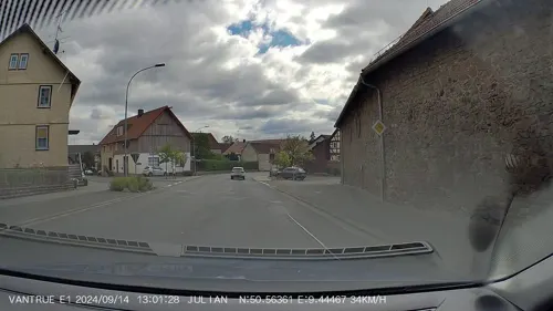
Schlossgärtnerei
Farm and orchard · 7.0 km
1 Müser Straße, Herbstein
Mo-Fr 08:30-12:00,14:30-17:00; Sa 08:30-12:00

Hainigturm
Monument and historic site · 8.4 km
Observation tower near Lauterbach

23 more on the map.
Museums and landmarks40


Teufelsmühle
Monument and historic site · 4.8 km
5 Mühlweg, Grebenhain

Backhaus
Monument and historic site · 5.5 km
14 Hopfmannsfelder Straße, Lauterbach


Die Bärenmauer
Monument and historic site · 5.3 km
Frhrl. Riedeselscher Oberjäger Andreas Jmmisch erlegte hier 1678 den letzten Bären

28 more on the map.
Parks, trails and playgrounds12

Vulkantherme
Sports field and stadium · 0.9 km
Tu,Th 09:00-20:00; We,Fr 09:00-22:00; Sa,Su,PH 09:00-18:00




Spielplatz Ilbeshausen-Hochwaldhausen Hindenburgstrasse
Playground · 5.0 km
08:00-22:00
Restaurants and cafes28
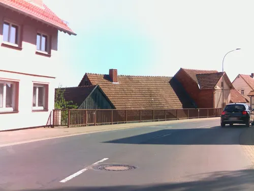
Bei Sandy
Restaurant · German, Italian, Regional
48 Hessenstraße, Herbstein
Su 11:00-14:00, 17:00-22:00; Mo, We-Sa 17:00-22:00

Burg Post
Restaurant · German · 5.4 km
5 Schloß, Lauterbach
We-Fr 12:00+; Sa 11:00+; Su 10:00+; Mo,Tu off
Hotel Ristorante Herbstein
Restaurant · Italian, German
4 Blücherstraße, Herbstein
Mo-Sa 11:00-14:00,17:00-23:00; Su,PH 11:00-23:00; We off
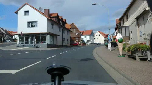
Schmidts
Restaurant · German · 7.1 km
9 Müser Straße, Herbstein
Mo-Fr 12:00-14:00; We 18:00-23:30; Su 14:30-18:00
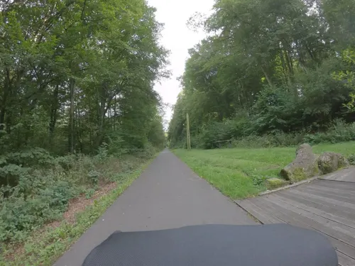
Zentralstation
Cafe · Pizza, German, Regional · 6.3 km
1 Am Waldschlößchen, Lauterbach
Mo-We off; Th-Fr 17:00-23:00; Sa 14:00-23:00; Su 14:00-20:00
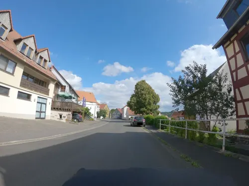

Café-Bistro in der VulkanTherme
Cafe · 0.9 km
Mo 14:00-20:00; Tu,Th 09:00-20:00; We,Fr 09:00-22:00; Sa,Su,PH 09:00-18:00
Gaststätte "Zur Krone"
Restaurant · German · 5.9 km
6 An der Kirche, Lautertal
Tu,Th-Sa 19:00+; Su 10:00-12:00 "Frühschoppen", 18:00+


Hessischer Hof
Restaurant · Italian · 4.7 km
39 Hindenburgstraße, Grebenhain
Mo-Sa 17:00-23:00; Su,PH 11:00-14:00,17:00-23:00; We off
Turnhalle Gaststätte
Restaurant · 5.8 km
1 Schlagmühlenweg, Lauterbach
We-Sa 16:30-23:00; PH,Su 11:30-23:00
16 more on the map.
History
Herbstein had its first documentary mentioned in 1011 in a donation document from the monastery at Fulda. In 1262, Herbstein was granted town rights. Until 1802 the town belonged to the Princely Abbey (Fürstabtei) of Fulda. There followed a short time of changing leadership until the town passed to the Grand Duchy of Hesse in 1810.
As part of Hesse's municipal reforms, the formerly independent municipalities of Altenschlirf, Lanzenhain, Schlechtenwegen and Steinfurt were amalgamated into the town of Herbstein with effect on 31 December 1971. Rixfeld, Schadges and Stockhausen followed on 1 August 1972.
From the History section of Herbstein on Wikipedia, under CC BY-SA 4.0.
Where to stay16
Wohnmobilstellplatz am Luftkurort Ilbeshausen-Hochwaldhausen
Campground · 5.0 km
Churches and places of worship15
Andreaskirche
Church · Protestant · 4.0 km
5 An der Kirche, Herbstein
Evangelische Kirche
Church · Protestant · 7.0 km
4 Am Bockelberg, Herbstein
Evangelische Kirche Frischborn
Church · Protestant · 5.7 km
3 Mittelgasse, Lauterbach
Evangelische Kirche Rixfeld
Church · Protestant · 3.2 km
30 Vogelsbergstraße, Herbstein
Shopping6
Gas and EV charging4
Schools, colleges and libraries5
Freiherr-vom-Stein-Schule Herbstein
School · 0.6 km
30 Oelegemer Straße, Herbstein
Helmut-von-Bracken-Schule Herbstein
School · 0.6 km
3 Pestalozzistraße, Herbstein
Healthcare3
Map of Herbstein
164 places. The map loads OpenStreetMap tiles when you open it.
Getting there and nearby towns
Fritzlar Air Base (FRZ) is the nearest airport with scheduled flights listed in OpenStreetMap, 62 km away.
- Lauterbach 9 km northeast, about 9 min by car
- Hosenfeld 11 km southeast, about 11 min by car
- Schotten 17 km west, about 17 min by car
- Schlitz 20 km northeast, about 20 min by car
- Fulda 23 km east, about 23 min by car
- Alsfeld 22 km north, about 22 min by car
- Neuhof 23 km southeast, about 23 min by car
- Laubach 25 km west, about 25 min by car
- Künzell 26 km east, about 26 min by car
- Eichenzell 26 km east, about 26 min by car
Drive times are estimates from straight-line distance, not routes.
Local news
Headlines from INDB.
Reviews, tips and questions
Loading what members have shared...
Sources and licences
- GeoNames (CC BY 4.0): population, coordinates, regions and time zone
- Mapillary (see each image): photos
- OpenStreetMap contributors (ODbL 1.0): places, airports, map data
- Wikidata (CC0 1.0): elevation, founding date, time zone, website, landmarks and historic places
- Wikimedia Commons (see each image): photos
- Wikipedia (CC BY-SA 4.0): overview and history text
Photo credits
- Vogelsberg - Herbstein - Kath. Kirche St. Jakobus - WLMMH 3584, Sven Teschke , Büdingen, CC BY-SA 3.0 de
- Vogelsberg - Herbstein - WLMMH - 3571, Sven Teschke , Büdingen, CC BY-SA 3.0 de
- Vogelsberg - Herbstein - Wehrmauer - WLMMH - 3581, Sven Teschke , Büdingen, CC BY-SA 3.0 de
- Vogelsberg - Herbstein - WLMMH - 3574, Sven Teschke , Büdingen, CC BY-SA 3.0 de
- Vogelsberg - Herbstein - Kirchplatz - WLMMH 3595, Sven Teschke , Büdingen, CC BY-SA 3.0 de
- Vogelsberg - Herbstein - WLMMH - 3568, Sven Teschke , Büdingen, CC BY-SA 3.0 de
- Vogelsberg - Herbstein - WLMMH - 3576, Sven Teschke , Büdingen, CC BY-SA 3.0 de
- Vogelsberg - Herbstein - Statue Hl. Johannes, Sven Teschke , Büdingen, CC BY-SA 3.0 de
- Vogelsberg - Herbstein - Wehrmauer - WLMMH - 3580, Sven Teschke , Büdingen, CC BY-SA 3.0 de
- Vogelsberg - Herbstein - WLMMH - 3577, Sven Teschke , Büdingen, CC BY-SA 3.0 de
- Vogelsberg - Herbstein - WLMMH - 3566, Sven Teschke , Büdingen, CC BY-SA 3.0 de
- Vogelsberg - Herbstein - WLMMH - 3565, Sven Teschke , Büdingen, CC BY-SA 3.0 de
- Vogelsberg - Herbstein - ehem. Amtsgericht - WLMMH - 3563, Sven Teschke , Büdingen, CC BY-SA 3.0 de
- Vogelsberg - Herbstein - WLMMH - 3579, Sven Teschke , Büdingen, CC BY-SA 3.0 de
- Vogelsberg - Herbstein - Ev. Kirche - WLMMH - 3561, Sven Teschke , Büdingen, CC BY-SA 3.0 de
- Vogelsberg - Herbstein - Fachwerkhaus-Museum - WLMMH 3592, Sven Teschke , Büdingen, CC BY-SA 3.0 de
- Vogelsberg - Herbstein - Wehrmauer-Turm - WLMMH 3586, Sven Teschke , Büdingen, CC BY-SA 3.0 de
- Vogelsberg - Herbstein - Fachwerkhaus - WLMMH 3590, Sven Teschke , Büdingen, CC BY-SA 3.0 de
- Vogelsberg - Herbstein - Fachwerkhaus - WLMMH 3589, Sven Teschke , Büdingen, CC BY-SA 3.0 de
- Vogelsberg - Herbstein - Rathaus - WLMMH - 3557, Sven Teschke , Büdingen, CC BY-SA 3.0 de
- Vogelsberg - Herbstein - Am Hain 7 - WLMMH 3588, Sven Teschke , Büdingen, CC BY-SA 3.0 de
- Herbstein Marktplatz, UuMUfQ, CC BY-SA 3.0
- Kirche Herbstein ev, UuMUfQ, CC BY-SA 3.0
- Vogelsberg - Herbstein - Rathaus - WLMMH 3596, Sven Teschke , Büdingen, CC BY-SA 3.0 de
- Herbstein Herbstein Am Scheerwasser Waysideshrine f, UuMUfQ, CC BY-SA 3.0
- Herbstein Herbstein Am Scheerwasser Waysideshrine b, UuMUfQ, CC BY-SA 3.0
- Herbstein Herbstein Wayside shrine Kolping Str W, UuMUfQ, CC BY-SA 3.0
- Herbstein Herbstein Kurpark Betula Avenue Path N, UuMUfQ, CC BY-SA 3.0
- Herbstein Herbstein Weidefass Fasswagen Brauchwasser Wasserkran a, UuMUfQ, CC BY-SA 3.0
- Herbstein Herbstein Kurpark E, UuMUfQ, CC BY-SA 3.0
- Herbstein Herbstein Wayside shrine Thermalbad N, UuMUfQ, CC BY-SA 3.0
- Herbstein Herbstein Wayside shrine Kapellenwald N, UuMUfQ, CC BY-SA 3.0
- Herbstein Herbstein Memorial Inscription Eichholzwasser 2023 N, UuMUfQ, CC BY-SA 4.0
- Herbstein Herbstein Hiking Trail Signs E3, UuMUfQ, CC BY-SA 4.0
- Herbstein Herbstein Memorial 19440927 WW2, UuMUfQ, CC BY-SA 3.0
- Herbstein Road Herbstein Altenschlirf Alley of Trees E3, UuMUfQ, CC BY-SA 4.0
- Herbstein Road Herbstein Altenschlirf Railway Bridge E3, UuMUfQ, CC BY-SA 4.0
- Herbstein Allee Wanderweg, UuMUfQ, CC BY-SA 3.0
- Hainigturm, J. Braukmann, CC BY-SA 3.0
- Herbstein Herbstein pano E a, UuMUfQ, CC BY-SA 3.0
- Dirlammen Evangelische Kirche 2503, Reinhardhauke, CC BY-SA 3.0
- Lauterbach Frischborn Hopfmannsfelder Strasse 14 Backhaus 66464, UuMUfQ, CC BY-SA 3.0
- Lauterbach-Frischborn (DerHexer) WLMMH 66472 2011-09-18 03, DerHexer , Wikimedia Commons, CC BY-SA 4.0
- Schalksbachteiche, Felix Ritz, CC BY-SA 3.0
- Weinberg bei Stockhausen, Felix Ritz, CC BY-SA 3.0
- Lauterbach Allmenrod Bienwiesen 318195 pasture, UuMUfQ, CC BY-SA 3.0
- Hoher Vogelsberg Wannersbruch NR 319289 River Alte Hasel Alnus glutinosa, UuMUfQ, CC BY-SA 3.0
- Herbstein Altenschlirf Protestant Church s, UuMUfQ, CC BY-SA 3.0
- Herbstein Rixfeld Protestant Church df, UuMUfQ, CC BY-SA 3.0
- Vogelsberg - Ilbeshausen - Teufelsmühle-Wasserrad - WLMMH 3607, Sven Teschke , Büdingen, CC BY-SA 3.0 de
- Schloss eisenbach hauptburg 20070824, Emha /Manuel Heinrich, CC BY-SA 3.0
- Stadtmauer mit Eulentum, Herschfeller, CC BY-SA 3.0
- Münchswiesen bei Frischborn, Felix Ritz, CC BY-SA 3.0
- Evangelische Kirche Stockhausen Herbstein, UuMUfQ, CC BY-SA 3.0
- Street-level photo, kreuzschnabel, CC BY-SA 4.0
- Street-level photo, ramap, CC BY-SA 4.0
- Street-level photo, nakaner, CC BY-SA 4.0
- Street-level photo, nrailuj, CC BY-SA 4.0
- Street-level photo, nakaner, CC BY-SA 4.0
- Street-level photo, kreuzschnabel, CC BY-SA 4.0
- Street-level photo, nrailuj, CC BY-SA 4.0
- Street-level photo, live, CC BY-SA 4.0
- Street-level photo, ramap, CC BY-SA 4.0
- Street-level photo, ramap, CC BY-SA 4.0
- Street-level photo, live, CC BY-SA 4.0
- Street-level photo, ramap, CC BY-SA 4.0
- Street-level photo, nakaner, CC BY-SA 4.0
- Street-level photo, nakaner, CC BY-SA 4.0
- Street-level photo, kreuzschnabel, CC BY-SA 4.0
- Street-level photo, kreuzschnabel, CC BY-SA 4.0
- Street-level photo, ramap, CC BY-SA 4.0
- Street-level photo, ramap, CC BY-SA 4.0
- Street-level photo, kreuzschnabel, CC BY-SA 4.0
- Street-level photo, ramap, CC BY-SA 4.0
- Street-level photo, nakaner, CC BY-SA 4.0


Page built November 9, 2026. Spotted a mistake? Tell us or suggest a place.