


Why visit Schlitz
Townapedia lists 53 museums and landmarks, 23 parks and trails, 74 places to eat, 25 places to stay and 91 attractions in and around town.
Highlights include Hainigturm, Hinterturm, Ottoburg and Schachtenburg.
Weather in Schlitz
Forecast from MET Norway (CC BY 4.0). Full forecast
About Schlitz
Schlitz (German pronunciation: [ʃlɪts] ) is a small town in the Vogelsbergkreis in eastern Hesse, Germany.
From the Wikipedia article Schlitz, Hesse (this version), under CC BY-SA 4.0.
Things to do91

Hainigturm
Monument and historic site · 11.7 km
Observation tower near Lauterbach

Hinterturm
Scenic view
Der Turm hat 36 m Höhe und 36 m Umfang - In der Advents- und Weihnachtszeit wird er als größte Weihnachtskerze der Welt verkleidet.


79 more on the map.
Museums and landmarks53


Schachtenburg
Monument and historic site
3 An der Schachtenburg, Schlitz

ehemaliger Standort Burg Niederschlitz
Monument and historic site · 0.8 km




41 more on the map.
Parks, trails and playgrounds23



Rohrwiesenbachtal und Eisenberg bei Schlitz
Hiking and trails · 4.4 km




11 more on the map.
Restaurants and cafes74

Gasthof zum Adler
Restaurant · German · 9.6 km
12 Marktplatz
Mo-We off; Th-Sa 16:00+; Su 11:00-14:00,17:00+
Gaststätte Ruhl
Restaurant · German · 9.6 km
10 Marktplatz, Großenlüder
Mo-Fr 11:00-18:00; Sa 11:00-13:00
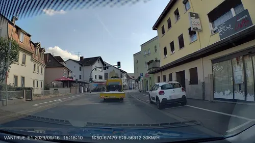
Landgasthof Weinhaus Schmitt
Restaurant · Regional · 9.2 km
2 Am Bahnhof, Großenlüder
Mo-We,Fr,Sa 17:00+; Su 11:00-14:00,17:00+
Landgasthof Zum Stern
Restaurant · German · 7.1 km
2 Biebergasse, Hünfeld
Mo-Fr 17:00-20:30; Sa,Su off
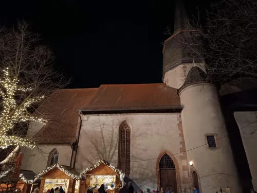
Restaurant & Pizzeria Margherita
Restaurant · Pizza, Italian, Schnitzel, Falafel
1 Marktplatz, Schlitz
Mo-Su 11:00-14:00; Mo-Su 17:00-22:00
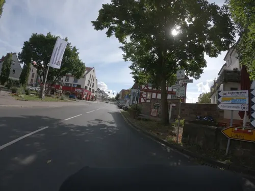
Ristorante Pizzeria "Da Michele"
Restaurant · Italian, Pizza · 9.5 km
3 Marktplatz, Großenlüder
Tu-Sa 11:00-14:00,17:00-22:00; PH,Su 11:00-22:00; Mo off

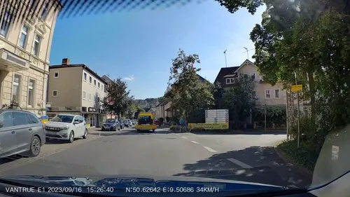


62 more on the map.
History
The name Schlitz had its first documentary mention in 812. Schlitz is known throughout Hesse for the town's five castles and is also called the Romantische Burgenstadt Schlitz (the Romantic Castle Town of Schlitz).
One peculiarity about the town is its so-called Burgenring, or Castle Ring, with the town built on a hill with its accumulated castles, towers, lords' houses, the town church and many half-timbered houses presenting a well preserved, compact, historic Old Town. For the Castle Ring's splendour and the town's outstanding location, Schlitz was sometimes called in earlier times the "Hessian Rothenburg ob der Tauber"
The Lords of Schlitz had built up their mastery in an autonomous fief from the Fulda Abbey. As of 1404 they were calling themselves Schlitz von Görtz (in documents also Gurz or Görz). After the Reformation came in 1563, and as a result of the Thirty Years' War, however, they broke away from Fulda. In 1677, they became Imperial Barons and, in 1726, Imperial Counts. In 1806, the area passed to Hesse-Darmstadt.
From the History section of Schlitz, Hesse on Wikipedia, under CC BY-SA 4.0.
Where to stay25
Churches and places of worship35
St. Johannes der Täufer
Church · Roman Catholic · 7.1 km
1 Altes Schloß, Burghaun
Shopping17
Gas and EV charging10
Schools, colleges and libraries7
Schloß Hallenburg - Landesmusikakademie Hessen
School
4 Gräfin-Anna-Straße, Schlitz
Healthcare8
Map of Schlitz
250 places. The map loads OpenStreetMap tiles when you open it.
Getting there and nearby towns
Fritzlar Air Base (FRZ) is the nearest airport with scheduled flights listed in OpenStreetMap, 53 km away.
- Schotten 36 km southwest, about 36 min by car
- Steinau an der Straße 41 km south, about 41 min by car
- Wächtersbach 50 km south, about 50 min by car
- Kassel 72 km north, about 1 h 15 min by car
- Witzenhausen 77 km north, about 1 h 15 min by car
- Wolfhagen 77 km north, about 1 h 15 min by car
- Usingen 82 km southwest, about 1 h 15 min by car
- Schweinfurt 84 km southeast, about 1 h 30 min by car
- Offenbach 85 km southwest, about 1 h 30 min by car
- Frankfurt am Main 88 km southwest, about 1 h 30 min by car
Drive times are estimates from straight-line distance, not routes.
Local news
Headlines from INDB.
Reviews, tips and questions
Loading what members have shared...
Sources and licences
- GeoNames (CC BY 4.0): population, coordinates, regions and time zone
- Mapillary (see each image): photos
- OpenStreetMap contributors (ODbL 1.0): places, airports, map data
- Wikidata (CC0 1.0): elevation, founding date, time zone, website, landmarks and historic places
- Wikimedia Commons (see each image): photos
- Wikipedia (CC BY-SA 4.0): overview and history text
Photo credits
- Stadt schlitz 01, Paul Odörfer, CC BY-SA 3.0
- Schlitz Ottoburg rueck, UuMUfQ, CC BY-SA 3.0
- Schlitz, Blick zum Marktbrunnen, Dguendel, CC BY 3.0
- Schlitz Vorderburg Westfluegel, UuMUfQ, CC BY-SA 3.0
- Schlitz DasHoheHaus, UuMUfQ, CC BY-SA 3.0
- Schlitz Ottoburg b, UuMUfQ, CC BY-SA 3.0
- Schlitz Ottoburg Eingang, UuMUfQ, CC BY-SA 3.0
- Schlitz Vorderburg Hotel, UuMUfQ, CC BY-SA 3.0
- Schlitz Vorderburg Westfluegel b, UuMUfQ, CC BY-SA 3.0
- Schlitz Rathaus 1, Eva K., GFDL 1.2
- Schlitz AnDerKirche 7, UuMUfQ, CC BY-SA 3.0
- Schlitz Rathaus, UuMUfQ, CC BY-SA 3.0
- Schlitz Rathaus d, UuMUfQ, CC BY-SA 3.0
- Schlitz Rathaus b, UuMUfQ, CC BY-SA 3.0
- Schlitz Marktplatz 3, UuMUfQ, CC BY-SA 3.0
- Schlitz Rathaus c, UuMUfQ, CC BY-SA 3.0
- Schlitz Vorderburg Westfluegel c, UuMUfQ, CC BY-SA 3.0
- Schlitz Marktplatz, UuMUfQ, CC BY-SA 3.0
- Schlitz Hinterburgstrasse Obertor, UuMUfQ, CC BY-SA 3.0
- Schlitz, der Marktbrunnen, Dguendel, CC BY 3.0
- Schlitz, Marktplatz und Rathaus, Dguendel, CC BY 3.0
- Schlitz Marktplatz Buchhandlung, UuMUfQ, CC BY-SA 3.0
- Schlitz, Vorderburg und Hotel Vorderburg, Dguendel, CC BY 3.0
- Schlitz ev Kirche b, UuMUfQ, CC BY-SA 3.0
- Schlitz Kirchplatz Fachwerkhaus DSF7930, Eva K., GFDL 1.2
- Schlitz, Stadtkirche, der Altar, Dguendel, CC BY 3.0
- Schlitz, Stadtkirche, die Orgel, Dguendel, CC BY 3.0
- Schlitz, Stadtkirche, Epitaph, Dguendel, CC BY 3.0
- Schlitz, die Gasse "Stadtberg", Dguendel, CC BY 3.0
- Schlitz Ringmauer 9, UuMUfQ, CC BY-SA 3.0
- Schlitz Stadtberg DSF7880, Eva K., GFDL 1.2
- Schlitz Hinterburgstrasse 8, UuMUfQ, CC BY-SA 3.0
- Schlitz Schlitz Hinterburgstrasse 2 202505 b, UuMUfQ, CC BY-SA 4.0
- Schlitz Schlitz Hinterburgstrasse 2 202505 db, UuMUfQ, CC BY-SA 4.0
- Schlitz Rathaus 2, Eva K., GFDL 1.2
- Schlitz Hinterturm, Eva K., GFDL 1.2
- Schlitz, das Rathaus und das Fachwerkhaus An der Kirche 5, Dguendel, CC BY 3.0
- Schlitz AnDerKirche 5, UuMUfQ, CC BY-SA 3.0
- Schlitz Vorderburg Hotel b, UuMUfQ, CC BY-SA 3.0
- Hainigturm, J. Braukmann, CC BY-SA 3.0
- Schlitz Burg Niederschlitz, UuMUfQ, CC BY-SA 3.0
- Schlitz Hartershausen BurgSeeburg, UuMUfQ, CC BY-SA 3.0
- Fraurombach Ev. Kirche 28, GFreihalter, CC BY-SA 3.0
- Schlitz Hinterburg Hinterturm Stadtkirche, UuMUfQ, CC BY-SA 3.0
- Schlitz Schachtenburg b, UuMUfQ, CC BY-SA 3.0
- Schloss Hallenburg, Doctordee, CC BY-SA 3.0
- Schlitz, Ev. Stadtkirche-20160504-001, Tilman2007, CC BY-SA 4.0
- Schloss Berleburg (Schlitz), Presse03, CC BY 3.0
- Schlitz Bernshausen Swamp NR 162395 N Det c, UuMUfQ, CC BY-SA 3.0
- Schlitz Eisenberg NR 165214 Rohrwiesenbachtal und Eisenberg Swamp 05 SO, UuMUfQ, CC BY-SA 3.0
- Sandgrube am Mahlertshof 01, Arthur Diebold (mit freundlicher Genehmigung von Pina Sapper), CC BY-SA 4.0
- Grebenau Grebenau NR 165502 Schwarzenbachsgrund Schwarzenbach Meadow, UuMUfQ, CC BY-SA 3.0
- Grossenlueder St Georg s, UuMUfQ, CC BY-SA 3.0
- Salzschlirf kurhaus kurpark, Geolina163, CC BY-SA 3.0
- Kirche Queck Schlitz, UuMUfQ, CC BY-SA 3.0
- Kirche Pfordt Schlitz, UuMUfQ, CC BY-SA 3.0
- Grossenlueder Eichenau Kirche, UuMUfQ, CC BY-SA 3.0
- Schlitz Burgmuseum DSF7901, Eva K., GFDL 1.2
- Schlitz Eisenberg LPA 329191 Rohrwiesenbachtal und Eisenberg Acer Fagus Snag, UuMUfQ, CC BY-SA 3.0
- Lüdermünder Warte (02), Verum, CC BY-SA 3.0
- Street-level photo, thetornado76, CC BY-SA 4.0
- Street-level photo, thetornado76, CC BY-SA 4.0
- Street-level photo, nrailuj, CC BY-SA 4.0
- Street-level photo, DerMaster0815, CC BY-SA 4.0
- Street-level photo, nrailuj, CC BY-SA 4.0
- Street-level photo, ramap, CC BY-SA 4.0
- Street-level photo, nakaner, CC BY-SA 4.0
- Street-level photo, ramap, CC BY-SA 4.0
- Street-level photo, thetornado76, CC BY-SA 4.0
- Street-level photo, nrailuj, CC BY-SA 4.0
- Street-level photo, nakaner, CC BY-SA 4.0
- Street-level photo, troher15, CC BY-SA 4.0
- Street-level photo, nakaner, CC BY-SA 4.0
- Street-level photo, nakaner, CC BY-SA 4.0
- Street-level photo, ramap, CC BY-SA 4.0


Page built November 8, 2026. Spotted a mistake? Tell us or suggest a place.