


Why visit Holdorf
Townapedia lists 14 museums and landmarks, 16 parks and trails, 36 places to eat, 6 places to stay and 2 attractions in and around town.
Highlights include Kriegerdenkmal Holdorf.
Weather in Holdorf
Forecast from MET Norway (CC BY 4.0). Full forecast
About Holdorf
Holdorf is a municipality in the district of Vechta, in Lower Saxony, Germany. It is situated approximately 20 km southwest of Vechta, and 35 km north of Osnabrück. It is the native homeland of the Holdorf clan, who have since settled in Denmark.
From the Wikipedia article Holdorf, Lower Saxony (this version), under CC BY-SA 4.0.
Things to do2

Museums and landmarks14
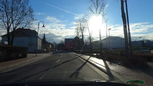

Grubenbahn Glückauf
Monument and historic site · 5.5 km
Originale Grubenbahn aus der Zeche -Glückauf-
Kriegerdenkmal Düpe-Harpendorf
Monument and historic site · 4.0 km
Vorheide, Steinfeld
Kriegerdenkmal Langwege
Monument and historic site · 4.4 km
16 Auf der Stadt, Dinklage
Scheelenhorst
Monument and historic site · 4.8 km
Ehemaliges Militärgelände: Betreten wegen Lebensgefahr aufgrund von Altlasten verboten


2 more on the map.
Parks, trails and playgrounds16


Ideengarten
Park · 1.3 km
Schaugarten mit Pflasterflächen, Beeteinfassungen, Palisaden und Stelen aus Beton


4 more on the map.
Restaurants and cafes36


Pizzeria Piton
Restaurant · Pizza · 6.1 km
5 Am Marktplatz, Steinfeld
Mo-Tu 11:30-21:00; Th-Fr 11:30-21:00; Sa-Su 12:00-21:00
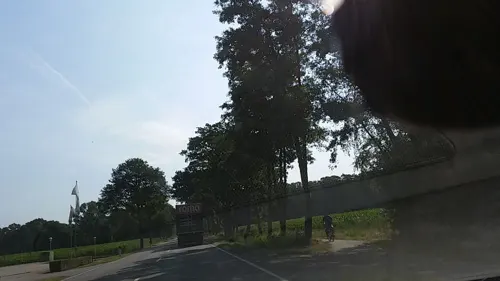
Bauernschänke Bocklage
Restaurant · Regional · 2.3 km
11 An der Bundesstraße, Holdorf
Mo 17:00-20:30; We-Su 11:00-13:30,17:00-20:30
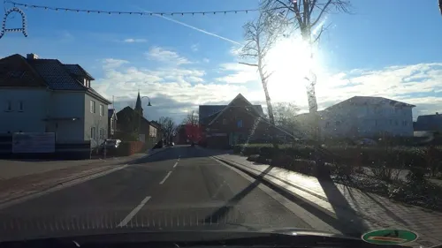
Bäckerei Heitmann
Bakery · 0.8 km
2 Große Straße, Holdorf
Mo-Fr 05:00-18:30; Sa 05:00-13:00; Su 07:30-11:00

Bäckerei Overmeyer
Cafe · 6.2 km
54 Große Straße, Steinfeld
Mo-Fr 05:30-18:30; Sa 05:30-13:00; Su 07:30-13:00
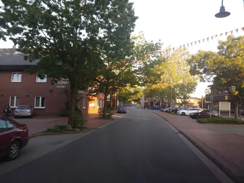
Pizzeria Rialto
Restaurant · Pizza · 0.7 km
8 Große Straße, Holdorf
Mo-Fr 16:00-22:00; Tu off; Sa,Su 12:00-22:00; PH 12:00-22:00

Altes Brauhaus
Restaurant · 6.0 km
14 Große Straße, Steinfeld
Tu-Fr 11:00-14:00, 17:00-24:00; Sa, Su 17:30-24:00; Mo off
viva la Pizza
Restaurant · Pizza, Pasta · 4.9 km
Tu-Fr 12:00-22:00; Sa,Su 16:00-22:00


Bäckerei Overmeyer
Bakery
5 Dammer Straße, Holdorf
Mo-Fr 05:30-18:00; Sa 05:30-13:00; Su 07:30-13:00
24 more on the map.
Where to stay6
Churches and places of worship6
St. Peter und Paul
Church · Catholic · 0.6 km
15 Große Straße, Holdorf
Shopping8
Gas and EV charging9
Schools, colleges and libraries5
Healthcare4
Map of Holdorf
106 places. The map loads OpenStreetMap tiles when you open it.
Getting there and nearby towns
Flugplatz Varrelbusch (VAC) is the nearest airport with scheduled flights listed in OpenStreetMap, 37 km away.
- Steinfeld 6 km east, about 6 min by car
- Damme 8 km southeast, about 8 min by car
- Dinklage 9 km north, about 9 min by car
- Lohne 12 km northeast, about 12 min by car
- Quakenbrück 16 km northwest, about 16 min by car
- Diepholz 17 km east, about 17 min by car
- Vechta 20 km northeast, about 20 min by car
- Bramsche 22 km southwest, about 22 min by car
- Wallenhorst 27 km south, about 27 min by car
- Bohmte 27 km southeast, about 27 min by car
Drive times are estimates from straight-line distance, not routes.
Local news
Headlines from INDB.
Reviews, tips and questions
Loading what members have shared...
Sources and licences
- GeoNames (CC BY 4.0): population, coordinates, regions and time zone
- Mapillary (see each image): photos
- OpenStreetMap contributors (ODbL 1.0): places, airports, map data
- Wikidata (CC0 1.0): elevation, founding date, time zone, website, landmarks and historic places
- Wikimedia Commons (see each image): photos
- Wikipedia (CC BY-SA 4.0): overview and history text
Photo credits
- Holdorf urbodomo, No machine-readable author provided. ThomasPusch assumed (based on copyright claims)., CC BY-SA 3.0
- Condomat Holdorf, Maddl79, CC BY-SA 4.0
- Softeisautomat Holdorf, Maddl79, CC BY-SA 4.0
- Holdorf Bürgerhaus, Corradox, CC BY 4.0
- Heidesee holdorf, Alephmembeth, CC BY-SA 4.0
- Holdorf Streuobstwiese, Corradox, CC BY 4.0
- Holdorf Hortus 1, Corradox, CC BY 4.0
- Holdorf Handorfer Mühlenbach 1, Corradox, CC BY 4.0
- Holdorf Hortus 2, Corradox, CC BY 4.0
- Holdorf Wasserwerk, Corradox, CC BY-SA 4.0
- Damme Priorat 3, Corradox, CC BY-SA 3.0
- Holdorf katolika preĝejo, No machine-readable author provided. ThomasPusch assumed (based on copyright claims)., CC BY-SA 3.0
- RaststaetteDammerBerge, MrsMyer at German Wikipedia, CC BY-SA 3.0
- Steinfeld (Oldb) Ortsmitte Kirche, Fuky, Public domain
- Autobahnkapelle Dammer Berge 2019, Ramsch, CC BY-SA 4.0
- Dersaburg Abschnittsgraben, Axel Hindemith, CC BY-SA 3.0
- 110924-373-R, HNB Nordbleche GmbH, CC BY-SA 3.0
- Street-level photo, derlipper, CC BY-SA 4.0
- Street-level photo, moenk, CC BY-SA 4.0
- Street-level photo, thetornado76, CC BY-SA 4.0
- Street-level photo, jmsbert, CC BY-SA 4.0
- Street-level photo, tian, CC BY-SA 4.0
- Street-level photo, peterleth, CC BY-SA 4.0
- Street-level photo, jmsbert, CC BY-SA 4.0
- Street-level photo, peterleth, CC BY-SA 4.0
- Street-level photo, heetENkoel, CC BY-SA 4.0
- Street-level photo, peterleth, CC BY-SA 4.0
- Street-level photo, peterleth, CC BY-SA 4.0
- Street-level photo, jmsbert, CC BY-SA 4.0
- Street-level photo, derlipper, CC BY-SA 4.0
- Street-level photo, jmsbert, CC BY-SA 4.0
- Street-level photo, StefanS79, CC BY-SA 4.0
- Street-level photo, jmsbert, CC BY-SA 4.0


Page built November 9, 2026. Spotted a mistake? Tell us or suggest a place.