


Why visit Bohmte
Townapedia lists 38 museums and landmarks, 31 parks and trails, 48 places to eat, 8 places to stay and 23 attractions in and around town.
Highlights include Bad Essen, Bio-Markt Wittlager Mühle, Schloß Ippenburg and Alte Vikarie.
Weather in Bohmte
Forecast from MET Norway (CC BY 4.0). Full forecast
About Bohmte
Bohmte (German pronunciation: [ˈboːmtə]) is a municipality in the district of Osnabrück, in Lower Saxony, Germany. It is situated on the river Hunte, approx. 20 km northeast of Osnabrück. The foundation of today's Bohmte is a result of the regional reorganization of 1972, when the towns of Bohmte, Herringhausen-Stirpe-Oelingen and Hunteburg were consolidated.
From the Wikipedia article Bohmte (this version), under CC BY-SA 4.0.
Things to do23

Bad Essen
Monument and historic site · 5.3 km
Municipality of Germany
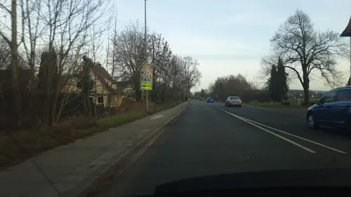
Bio-Markt Wittlager Mühle
Farm and orchard · 6.3 km
23 Osnabrücker Straße, Bad Essen
Mo-Fr 08:30-18:00; Sa 08:30-13:00

Hof Schoster
Farm and orchard · 7.2 km
10 Mindener Straße, Bad Essen
Sa 09:00-13:00; Mo-Fr 09:00-18:00


11 more on the map.
Museums and landmarks38


Ippenburger Gärten
Monument and historic site · 4.1 km
1 Schloßstraße, Bad Essen
May-Aug Su 11:00-18:00; May-Aug PH 11:00-18:00




Bolbec
Monument and historic site · 5.5 km
Stahlstange mit Wappen und kleinem Namensschild davor
Kriegerdenkmal der (Kyffhäuser-) Kameradschaft Bohmte
Monument and historic site
26 more on the map.
Parks, trails and playgrounds31



Ausstellungsfläche BAUKING Bad Essen
Park · 4.8 km
72-74 Gartenstraße, Bad Essen
24/7


Thermalsole-Freibad Bad Essen
Sports field and stadium · 5.7 km
14 Platanenallee, Bad Essen

19 more on the map.
Restaurants and cafes48
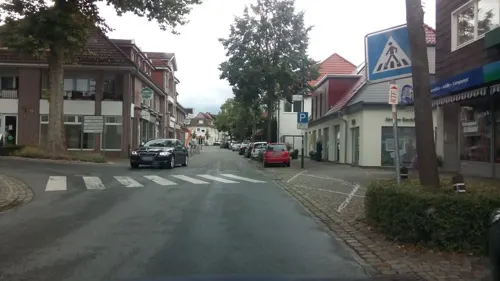
Athen Griechisches Restaurant
Restaurant · Greek · 5.5 km
38 Lindenstraße, Bad Essen
Tu-Su 11:30-14:30,17:30-23:30; Mo 17:30-23:30
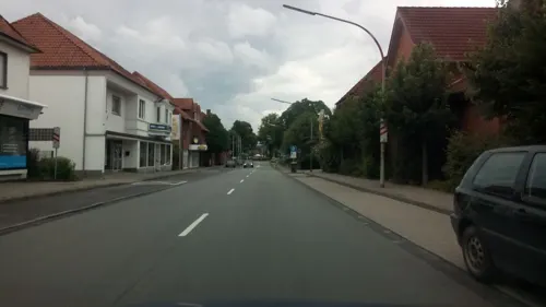
Bäckerei Schmidt
Bakery · 0.7 km
14 Bremer Straße, Bohmte
Mo-Fr 05:00-18:00; Sa 05:00-13:00; Su 07:30-15:00

Bäckerei Schmidt
Bakery · 5.5 km
29 Lerchenstraße, Bad Essen
Mo-Fr 07:00-18:30; Sa 07:00-16:30; Su 07:30-12:00
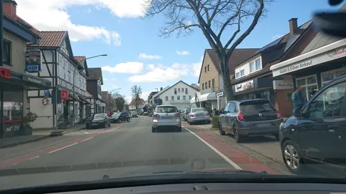

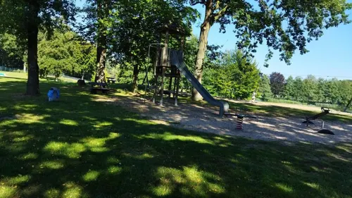


Strandbar Kronensee
Restaurant · Burger, Ice Cream, Friture, German, Grill · 5.8 km
9 Zum Kronensee, Ostercappeln
Jan-Feb: closed; Mar-Jun: Fr-Su 17:00-22:00 open; Jul-Aug: Fr...

Alte Rentei
Cafe · 3.8 km
2 Schloß Hünnefeld, Bad Essen
Feb 01-Dec 15 Fr 14:00-18:00; Feb 01-Dec 15 Sa-Su 11:00-18:00; Dec...
Höger's Hotel & Restaurant GmbH
Restaurant · 5.4 km
25 Kirchplatz, Bad Essen
Tu,We 17:00-21:30; Th-Su 08:00-21:30
Kaffeemühle - Restaurant, Café, Bierhaus
Restaurant · 5.5 km
19 Kirchplatz, Bad Essen
Mo-Fr 17:00+; Sa 15:00+; Su 11:30+
36 more on the map.
Where to stay8
Churches and places of worship20
St. Lambertus
Church · Roman Catholic · 6.7 km
Kirchplatz, Ostercappeln
Shopping23
Gas and EV charging12
Schools, colleges and libraries16
Healthcare7
Map of Bohmte
226 places. The map loads OpenStreetMap tiles when you open it.
Getting there and nearby towns
Flugplatz Bielefeld (BFE) is the nearest airport with scheduled flights listed in OpenStreetMap, 47 km away.
- Preußisch Oldendorf 14 km southeast, about 14 min by car
- Rödinghausen 17 km southeast, about 17 min by car
- Damme 19 km northwest, about 19 min by car
- Osnabrück 21 km southwest, about 21 min by car
- Wallenhorst 20 km west, about 20 min by car
- Espelkamp 21 km east, about 21 min by car
- Lübbecke 21 km east, about 21 min by car
- Rahden 21 km east, about 21 min by car
- Bramsche 24 km west, about 24 min by car
- Bünde 26 km southeast, about 26 min by car
Drive times are estimates from straight-line distance, not routes.
Local news
Headlines from INDB.
Reviews, tips and questions
Loading what members have shared...
Sources and licences
- GeoNames (CC BY 4.0): population, coordinates, regions and time zone
- Mapillary (see each image): photos
- OpenStreetMap contributors (ODbL 1.0): places, airports, map data
- Wikidata (CC0 1.0): elevation, founding date, time zone, website, landmarks and historic places
- Wikimedia Commons (see each image): photos
- Wikipedia (CC BY-SA 4.0): overview and history text
Photo credits
- Bohmte Shared Space 2008, Milchlieferrant, CC BY-SA 2.5
- Zeichen 279-40 + 331.2 B 51 Bohmte 2019-09-19 - Mapillary (321297356058066), nesshof @ Mapillary, CC BY-SA 4.0
- Zeichen 279-40 + 331.2 B 51 Bohmte 2022-07-16 - Mapillary (298535915792307), hendel @ Mapillary, CC BY-SA 4.0
- Flugplatz Bohmte-Bad Essen (1), Reise Reise, CC BY-SA 3.0
- Bad Essen Panorama, Corradox, CC BY-SA 3.0
- Burg Wittlage, Megalithicguy, CC BY-SA 4.0
- Dielinger Klei zum Dümmer, Kokp18, CC BY-SA 3.0
- Ostercappeln Lambertuskirche, Tebdi, CC BY-SA 2.0 de
- Bohmte Arenshorst Johanniskirche, Tebdi, CC BY-SA 3.0
- St. Thomas Bohmte, Milchlieferrant, CC BY-SA 2.5
- St. Marien (Bad Essen-Rabber) (4), Chris06, CC BY-SA 4.0
- Hunteburg-Matthäuskirche, User:Kolossos, CC BY-SA 3.0
- Bad Essen - Schloss Hünnefeld -BT- 01, Basotxerri, CC BY-SA 4.0
- Schloss Ippenburg 2010, DerHans04, CC BY-SA 3.0
- Bad Essen - St.-Nikolai-Kirche -BT- 05, Basotxerri, CC BY-SA 4.0
- Driehauser Steine, Megalithicguy, CC BY-SA 3.0
- Großsteingrab grambergen 1, Megalithicguy, CC BY-SA 3.0
- Dreieinigkeitskirche (Bad Essen-Rabber) (5), Chris06, CC BY-SA 4.0
- Bohmte St. Johann, Tebdi, CC BY-SA 3.0
- Ippenburg, Elkawe, Public domain
- DielingerKircheStMarien, Peter Huesener, Public domain
- Pauluskirche Ostercappeln, Sichi77, CC BY-SA 4.0
- Dreieinigkeitskirche (Bad Essen-Rabber) (6), Chris06, CC BY-SA 4.0
- Mein Piercing, Rob25Kl64, CC0
- Wittlager Kreisbahn PC160546a, Joachim Müllerchen, CC BY-SA 3.0
- Cockpit R 500, Architekturbuero Grom, CC BY-SA 4.0
- Street-level photo, geogast, CC BY-SA 4.0
- Street-level photo, analuisa, CC BY-SA 4.0
- Street-level photo, changchun1, CC BY-SA 4.0
- Street-level photo, geogast, CC BY-SA 4.0
- Street-level photo, Schmarvis, CC BY-SA 4.0
- Street-level photo, changchun1, CC BY-SA 4.0
- Street-level photo, geogast, CC BY-SA 4.0
- Street-level photo, analuisa, CC BY-SA 4.0
- Street-level photo, Schmarvis, CC BY-SA 4.0
- Street-level photo, moenk, CC BY-SA 4.0
- Street-level photo, changchun1, CC BY-SA 4.0
- Street-level photo, ImoEx, CC BY-SA 4.0
- Street-level photo, Schmarvis, CC BY-SA 4.0
- Street-level photo, Schmarvis, CC BY-SA 4.0
- Street-level photo, analuisa, CC BY-SA 4.0
- Street-level photo, changchun1, CC BY-SA 4.0


Page built November 8, 2026. Spotted a mistake? Tell us or suggest a place.