


Why visit Igstadt
Townapedia lists 12 museums and landmarks, 11 parks and trails, 32 places to eat, 6 places to stay and 8 attractions in and around town.
Highlights include Hessisches Staatstheater Wiesbaden, Scheunentheater Igstadt, Museum Wiesbaden and Reinhard Ernst Museum.
Weather in Igstadt
Forecast from MET Norway (CC BY 4.0). Full forecast
About Igstadt
Igstadt is an eastern borough of Wiesbaden, capital of the state of Hesse, Germany. It was incorporated into Wiesbaden on April 1, 1928 and currently has about 2,200 residents.
From the Wikipedia article Igstadt (this version), under CC BY-SA 4.0.
Things to do8
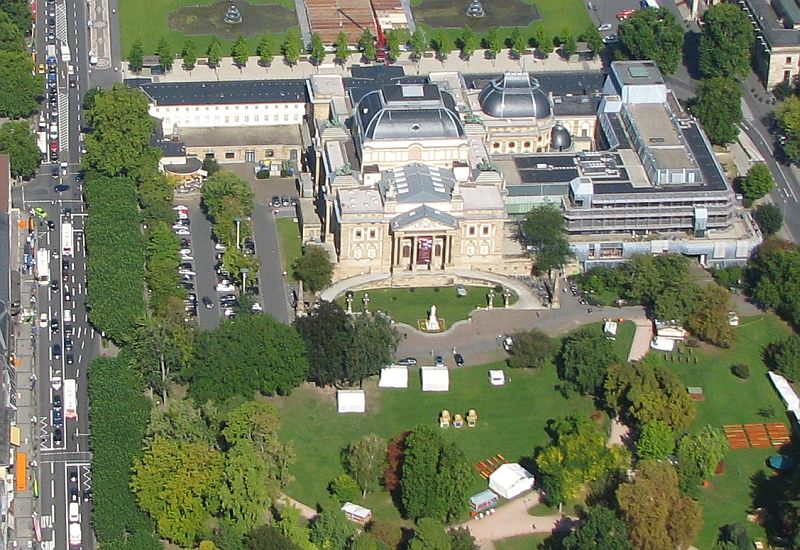
Hessisches Staatstheater Wiesbaden
Cinema and theater · 5.9 km
Theatre and opera house in Wiesbaden, Germany


Selbstbedienungsscheune Scholzenhof
Farm and orchard · 2.4 km
22 Breckenheimer Weg, Wiesbaden
24/7

Museums and landmarks12


Reinhard Ernst Museum
Museum · 5.9 km
Art museum for abstract art in Wiesbaden, Hesse, Germany



Gedenkstätte für jüdische Mitbürger Nordenstadts
Monument and historic site · 2.3 km
Parks, trails and playgrounds11




Restaurants and cafes32
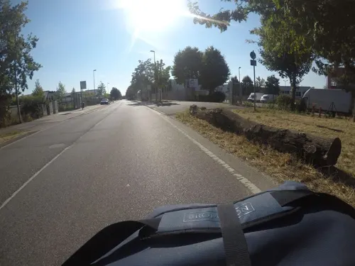
Da Ninos
Restaurant · Italian, Ice Cream · 2.7 km
32 Borsigstraße, Wiesbaden
Mo-Fr 11:30-14:30,17:30-22:30; Sa 17:00-22:30

Hockenberger Mühle
Restaurant · Regional · 2.7 km
4 Hockenberger Höhe, Wiesbaden
Tu-Fr 17:00-22:30; Sa-Su 11:30-22:30
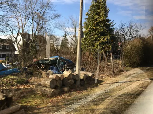
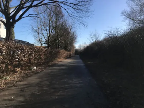
Schnitzel Queen
Restaurant · German · 2.9 km
1a Borsigstraße, Wiesbaden
Mo-Fr 11:30-14:30,17:00-22:00; Tu off, We off; Sa-Su 17:00-22:00
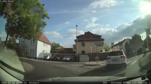
Zum Alten Nordenstadt
Restaurant · German, Hungarian, Persian · 2.0 km
4 Robert-Stolz-Straße, Wiesbaden
Mo-Su 11:30-22:00; PH 11:30-22:00; Tu off

Matsch & Brei
Brewery and winery · 2.8 km
24 Fritz-Erler-Straße, Wiesbaden
Th 09:00-18:00 || Mo-Fr 09:00-18:00 "mit vorheriger Absprache"
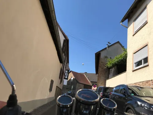
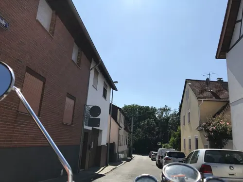
Bella Vista
Restaurant · Italian · 2.2 km
9 Heßlocher Straße, Wiesbaden
Tu-Su 11:00-14:30, 17:00-22:00

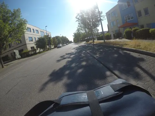
Bäckerei Lüning
Bakery · 2.8 km
9c Borsigstraße, Wiesbaden
Mo-Fr 06:00-18:30; Sa 06:00-17:00; Su 07:00-11:00


Zum Hessenkrug
Restaurant · German · 2.9 km
Mo-We,Fr 12:00-22:00; Sa 17:00-22:00; Su 12:00-15:00, 17:30-21:00
20 more on the map.
Where to stay6
Churches and places of worship10
Evangelische Kirche
Church · Protestant · 2.7 km
14 Fritz-Erler-Straße, Wiesbaden
Shopping14
Gas and EV charging6
Schools, colleges and libraries5
Städtische Kindertagesstätte Breckenheim
School · 3.0 km
38 Klingenbachstraße, Wiesbaden
Healthcare3
Map of Igstadt
107 places. The map loads OpenStreetMap tiles when you open it.
Getting there and nearby towns
Wiesbaden Army Airfield (WIE) is the nearest airport with scheduled flights listed in OpenStreetMap, 4 km away.
- Nordenstadt 2 km southeast, about 2 min by car
- Kloppenheim 2 km northwest, about 2 min by car
- Sonnenberg 5 km west, about 5 min by car
- Wiesbaden 6 km west, about 6 min by car
- Hochheim am Main 8 km south, about 8 min by car
- Hofheim am Taunus 9 km east, about 9 min by car
- Eppstein 8 km northeast, about 8 min by car
- Niedernhausen 9 km north, about 9 min by car
- Klarenthal 9 km west, about 9 min by car
- Mainz 12 km south, about 12 min by car
Drive times are estimates from straight-line distance, not routes.
Local news
Headlines from INDB.
Reviews, tips and questions
Loading what members have shared...
Sources and licences
- GeoNames (CC BY 4.0): population, coordinates, regions and time zone
- Mapillary (see each image): photos
- OpenStreetMap contributors (ODbL 1.0): places, airports, map data
- Wikidata (CC0 1.0): elevation, founding date, time zone, website, landmarks and historic places
- Wikimedia Commons (see each image): photos
- Wikipedia (CC BY-SA 4.0): overview and history text
Photo credits
- WiesbadenIgstadtNWWäschbachtal, Brühl, Public domain
- Wiesbaden-Igstadt - evangelische Kirche (1), Oliver Abels, CC BY-SA 3.0
- Wiesbaden-Igstadt - evangelische Kirche (2), Oliver Abels, CC BY-SA 3.0
- Wiesbaden-Igstadt - Dorfbrunnen, Oliver Abels, CC BY-SA 3.0
- Wiesbaden-Igstadt - evangelische Kirche (3), Oliver Abels, CC BY-SA 3.0
- Wiesbaden-Igstadt - Borngasse 4, Oliver Abels, CC BY-SA 3.0
- Luftbild Wiesbaden Hessisches Staatstheater IMG 0130, Wolfgang Pehlemann at de.wikipedia, CC BY-SA 3.0 de
- Museum Wiesbaden 2019, Museumwiesbaden, CC BY-SA 4.0
- Museum Reinhard Ernst Wiesbaden 8376 7 8, Welt-der-Form, CC BY-SA 4.0
- Bowling Green, Wiesbaden, Basti007, CC BY-SA 3.0
- Kurhaus Parkseite 100Jahr 0212, Pedelecs, CC BY 3.0
- BD 130424-Warmer Damm Wiesbaden-IMG 1153, Benjamin Dahlhoff, CC BY-SA 3.0
- AnglikanischeKircheWiesbaden, Unbekannter Fotograf vor 1887, Public domain
- 2010-03-02 Herz-Jesu-Kirche Wiesbaden-Sonnenberg 01, Wo st 01 (There are 682 Pictures in my Category ) See also Toolserver, CC BY-SA 3.0 de
- Nikolauskirche WB, Dschazz at German Wikipedia, CC BY-SA 2.0 de
- Radwanderweg Naurod-Igstadt im Wickerbachtal bei Auringen, Shumwai, CC BY-SA 4.0
- Autobahnkirche Medenbach jm54067, joergens.mi, CC BY-SA 3.0
- Stolperstein Nordenstadt Frieda Löwenstein, Nixnubix, CC BY-SA 3.0
- EvKircheNordenstadt, Patrick-Emil Zörner, CC BY-SA 3.0
- Wickerbachaue von Flörsheim und HochheimIMG 1318, Thyralon, CC BY-SA 4.0
- Autobahnkirche Medenbach jm54060, joergens.mi, CC BY-SA 3.0
- Ev Kirche Nordenstadt, User:Paddy (Patrick-Emil Zörner), CC BY-SA 3.0
- 1931 Chevrolet Independence, Qflieger, CC BY-SA 3.0
- Marko Leske Stankovic, Zslavo, CC BY-SA 4.0
- 20220504WI Eva-Lys-07, Wiesbaden-lebt, CC BY-SA 4.0
- 20220504WI Eva-Lys-07 (cropped), Wiesbaden-lebt, CC BY-SA 4.0
- Camping, Eppstein (P1090548), Matti Blume, CC BY-SA 4.0
- Bug (animal), Martin Fisch, CC BY 2.0
- MJK 77300 Wickerbachtal bei Kloppenheim, Martin Kraft, CC BY-SA 4.0
- Aerial, Eppstein (P1090549), Matti Blume, CC BY-SA 4.0
- MJK 77301 Wickerbachtal bei Kloppenheim, Martin Kraft, CC BY-SA 4.0
- MJK 77303-12 Wickerbachtal bei Kloppenheim, Martin Kraft, CC BY-SA 4.0
- MJK 77280 Wickerbachtal bei Kloppenheim, Martin Kraft, CC BY-SA 4.0
- MJK 77282 Wickerbachtal bei Kloppenheim, Martin Kraft, CC BY-SA 4.0
- MJK 77286 Wickerbachtal bei Kloppenheim, Martin Kraft, CC BY-SA 4.0
- MJK 77279 Wickerbachtal bei Kloppenheim, Martin Kraft, CC BY-SA 4.0
- Rüsselgasse 9 Wiesbaden Nordenstadt, Phija, CC BY-SA 4.0
- Wiesbaden-Nordenstadt, Friedhof (3), Karsten11, CC0
- Wiesbaden-Nordenstadt, Friedhof, Vertriebenendenkmal, Karsten11, CC0
- Wiesbaden-Nordenstadt, Friedhof, Gefallenendenkmal, Karsten11, CC0
- Street-level photo, miguel_andrade, CC BY-SA 4.0
- Street-level photo, mapcreator, CC BY-SA 4.0
- Street-level photo, mfa, CC BY-SA 4.0
- Street-level photo, miguel_andrade, CC BY-SA 4.0
- Street-level photo, marpa, CC BY-SA 4.0
- Street-level photo, mapcreator, CC BY-SA 4.0
- Street-level photo, mapcreator, CC BY-SA 4.0
- Street-level photo, mfa, CC BY-SA 4.0
- Street-level photo, mapcreator, CC BY-SA 4.0
- Street-level photo, marpa, CC BY-SA 4.0
- Street-level photo, mapcreator, CC BY-SA 4.0
- Street-level photo, mfa, CC BY-SA 4.0
- Street-level photo, mapcreator, CC BY-SA 4.0
- Street-level photo, mfa, CC BY-SA 4.0
- Street-level photo, marpa, CC BY-SA 4.0
- Street-level photo, mfa, CC BY-SA 4.0
- Street-level photo, chuck, CC BY-SA 4.0
- Street-level photo, mapcreator, CC BY-SA 4.0
- Street-level photo, mfa, CC BY-SA 4.0


Page built November 9, 2026. Spotted a mistake? Tell us or suggest a place.