


Why visit Kloppenheim
Townapedia lists 7 museums and landmarks, 15 parks and trails, 31 places to eat and 6 attractions in and around town.
Highlights include Hessisches Staatstheater Wiesbaden, Hockenberg, Museum Wiesbaden and Reinhard Ernst Museum.
Weather in Kloppenheim
Forecast from MET Norway (CC BY 4.0). Full forecast
About Kloppenheim
Kloppenheim is a borough of Wiesbaden, capital of the federal state of Hesse, Germany. Kloppenheim was incorporated into Wiesbaden in 1928. The adjacent boroughs are (clockwise, starting in the north) Naurod, Auringen, Medenbach, Igstadt, Bierstadt, and Heßloch.
From the Wikipedia article Wiesbaden-Kloppenheim (this version), under CC BY-SA 4.0.
Things to do6
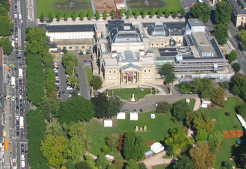
Hessisches Staatstheater Wiesbaden
Cinema and theater · 4.4 km
Theatre and opera house in Wiesbaden, Germany




Museums and landmarks7


Reinhard Ernst Museum
Museum · 4.6 km
Art museum for abstract art in Wiesbaden, Hesse, Germany


Parks, trails and playgrounds15


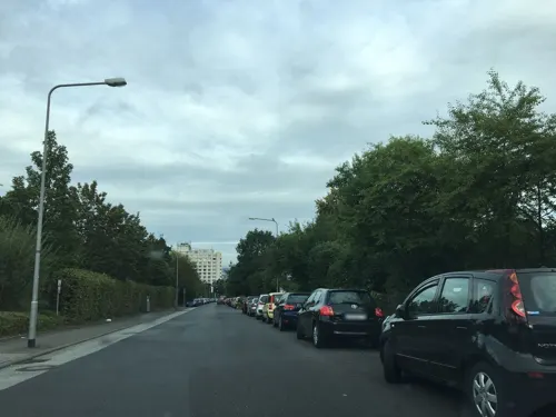

Hangwiesen Aussicht/Lerchenberg in Wiesbaden-Bierstadt
Hiking and trails · 1.7 km



3 more on the map.
Restaurants and cafes31

Hockenberger Mühle
Restaurant · Regional · 1.5 km
4 Hockenberger Höhe, Wiesbaden
Tu-Fr 17:00-22:30; Sa-Su 11:30-22:30
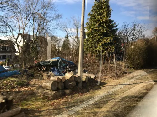
Restaurant Taunusstube
Restaurant · Italian · 1.6 km
32 Am Speiergarten, Wiesbaden
Mo off; Tu-Th 17:00-23:00; Fr 11:30-14:00,17:00-23:00; Sa...
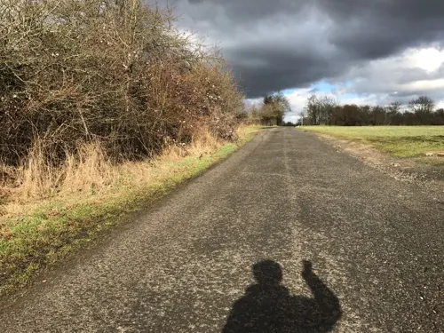
Ristorante Italiano Piera & Gio
Restaurant · Italian · 2.3 km
91 Flandernstraße, Wiesbaden
Mo-Fr 14:00-22:00, Sa 13:00-22:00, Su 10:00-22:00
Backhaus Schröer
Bakery · 1.8 km
7 Am Wolfsfeld, Wiesbaden
Mo-Fr 06:00-18:00; Sa 06:00-12:00; Su 07:00-12:00

Thai Küche Jiap
Restaurant · 2.0 km
21 Poststraße, Wiesbaden
Mo-Fr 11:30-14:30,17:00-21:30; Su 17:00-21:30
Bella Vista
Restaurant · Italian
9 Heßlocher Straße, Wiesbaden
Tu-Su 11:00-14:30, 17:00-22:00
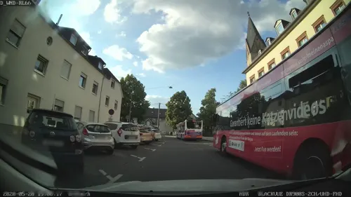
Broterben Bierstadt
Bakery · 1.9 km
9 Venatorstraße, Wiesbaden
Mo-Fr 07:00-18:00; Sa 07:00-13:00; Su 08:00-13:00
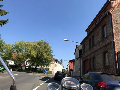
Daeli's Pizzeria
Restaurant · Pizza, Italian · 1.8 km
7 Venatorstraße, Wiesbaden
Mo-Fr 11:00-14:00,17:00-23:00; Sa,Su 17:00-23:00
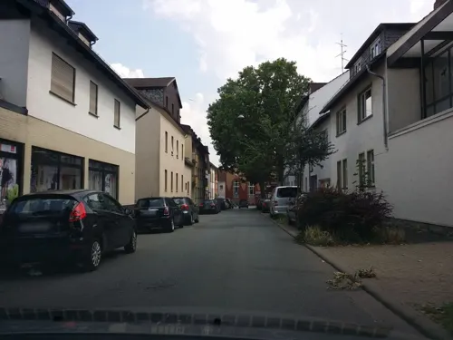


19 more on the map.
History
Frankish graves in the area of present-day Bierhausweg indicate that a settlement existed in Kloppenheim as early as the 6th and 7th centuries. Kloppenheim is first mentioned by name in a deed of gift in 927 AD during the reign of Saxon King Henry I. In a further certificate, Count Drutwin bequeaths six marks to the Bleidenstadt monastery in "Clopheim" and a forest with adjacent fields. The name "Clopheim" meant "residence on the rock of the hill", and probably dates to Frankish time.
In the history of the following centuries, Kloppenheim played no special role. It was part of the Königssondergau of Charlemagne and later was among the dominions of the House of Nassau. Like the surrounding areas, Kloppenheim experienced the hardships of armed conflict over the centuries, particularly during the Thirty Years War and the French Revolutionary Wars in 1797.
The religious life of Kloppenheim was long closely associated with the monastery in Bleidenstadt (now Taunusstein), founded by Charlemagne. The present church dates largely from the years 1706 to 1708.
In 1927, Kloppenheim, with 970 inhabitants, celebrated its 1000-year anniversary, which attracted thousands of visitors. One year later it was incorporated into Wiesbaden.
From the History section of Wiesbaden-Kloppenheim on Wikipedia, under CC BY-SA 4.0.
Churches and places of worship13
Evangelische Kirche Bierstadt
Church · Protestant · 1.8 km
11 Venatorstraße, Wiesbaden
Shopping10
Gas and EV charging2
Schools, colleges and libraries7
Healthcare6
Map of Kloppenheim
97 places. The map loads OpenStreetMap tiles when you open it.
Getting there and nearby towns
Wiesbaden Army Airfield (WIE) is the nearest airport with scheduled flights listed in OpenStreetMap, 5 km away.
- Sonnenberg 3 km west, about 3 min by car
- Wiesbaden 4 km west, about 4 min by car
- Nordenstadt 4 km southeast, about 4 min by car
- Klarenthal 7 km west, about 7 min by car
- Niedernhausen 8 km north, about 8 min by car
- Eppstein 8 km northeast, about 8 min by car
- Hochheim am Main 9 km south, about 9 min by car
- Hofheim am Taunus 10 km east, about 10 min by car
- Kriftel 12 km east, about 12 min by car
- Mainz 13 km south, about 13 min by car
Drive times are estimates from straight-line distance, not routes.
Local news
Headlines from INDB.
Reviews, tips and questions
Loading what members have shared...
Sources and licences
- GeoNames (CC BY 4.0): population, coordinates, regions and time zone
- Mapillary (see each image): photos
- OpenStreetMap contributors (ODbL 1.0): places, airports, map data
- Wikidata (CC0 1.0): elevation, founding date, time zone, website, landmarks and historic places
- Wikimedia Commons (see each image): photos
- Wikipedia (CC BY-SA 4.0): overview and history text
Photo credits
- WiesbadenKloppenheimS, Brühl, Public domain
- MJK 77267 Wickerbachtal bei Kloppenheim, Martin Kraft, CC BY-SA 4.0
- MJK 77282 Wickerbachtal bei Kloppenheim, Martin Kraft, CC BY-SA 4.0
- MJK 77275 Wickerbachtal bei Kloppenheim, Martin Kraft, CC BY-SA 4.0
- MJK 77280 Wickerbachtal bei Kloppenheim, Martin Kraft, CC BY-SA 4.0
- MJK 77279 Wickerbachtal bei Kloppenheim, Martin Kraft, CC BY-SA 4.0
- MJK 77303-12 Wickerbachtal bei Kloppenheim, Martin Kraft, CC BY-SA 4.0
- MJK 77301 Wickerbachtal bei Kloppenheim, Martin Kraft, CC BY-SA 4.0
- MJK 77286 Wickerbachtal bei Kloppenheim, Martin Kraft, CC BY-SA 4.0
- MJK 77300 Wickerbachtal bei Kloppenheim, Martin Kraft, CC BY-SA 4.0
- Luftbild Wiesbaden Hessisches Staatstheater IMG 0130, Wolfgang Pehlemann at de.wikipedia, CC BY-SA 3.0 de
- Museum Wiesbaden 2019, Museumwiesbaden, CC BY-SA 4.0
- Museum Reinhard Ernst Wiesbaden 8376 7 8, Welt-der-Form, CC BY-SA 4.0
- Bowling Green, Wiesbaden, Basti007, CC BY-SA 3.0
- Kurhaus Parkseite 100Jahr 0212, Pedelecs, CC BY 3.0
- MK10831 Nerotalanlagen, Martin Kraft, CC BY-SA 3.0
- BD 130424-Warmer Damm Wiesbaden-IMG 1153, Benjamin Dahlhoff, CC BY-SA 3.0
- AnglikanischeKircheWiesbaden, Unbekannter Fotograf vor 1887, Public domain
- 2010-03-02 Herz-Jesu-Kirche Wiesbaden-Sonnenberg 01, Wo st 01 (There are 682 Pictures in my Category ) See also Toolserver, CC BY-SA 3.0 de
- Lutherkirche wiesbaden 1, Toddy, Public domain
- Marktkichegross Regi51, asspixx.de selbst fotografiert und bearbeitet, nachbearbeitet Regi51, CC BY-SA 2.0
- Wiesbaden Bonifatius Church, TMg, CC BY-SA 3.0
- Russische Kirche "Griechische Kapelle" auf dem Neroberg in Wiesbaden, Oliver Carl, CC BY-SA 3.0
- Nikolauskirche WB, Dschazz at German Wikipedia, CC BY-SA 2.0 de
- Theodor-Fliedner-Schule Wiesbaden Haupteingang, Reneman, CC BY-SA 4.0
- Radwanderweg Naurod-Igstadt im Wickerbachtal bei Auringen, Shumwai, CC BY-SA 4.0
- 2010-03-05 Deutsche Klinik fuer Diagnostik Wiesbaden, Wo st 01 (There are 682 Pictures in my Category ) See also Toolserver, CC BY-SA 3.0 de
- Wickerbachaue von Flörsheim und HochheimIMG 1318, Thyralon, CC BY-SA 4.0
- Hangwiesen Aussicht Lerchenberg Wiesbaden-Bierstadt 3, Hans Kastellano, CC BY-SA 4.0
- Cornfield (2583328345), Martin Fisch from Wiesbaden, Germany, CC BY 2.0
- The red planet (4666822786), Martin Fisch from Wiesbaden, Germany, CC BY-SA 2.0
- ISS065-E-444622 - View of Earth, Earth Science and Remote Sensing Unit , Lyndon B. Johnson Space Center, Public domain
- ISS067-E-228681 - View of Earth, Earth Science and Remote Sensing Unit , Lyndon B. Johnson Space Center, Public domain
- ISS065-E-95294 - View of Earth, Earth Science and Remote Sensing Unit , Lyndon B. Johnson Space Center, Public domain
- ISS065-E-444623 - View of Earth, Earth Science and Remote Sensing Unit , Lyndon B. Johnson Space Center, Public domain
- ISS065-E-444624 - View of Earth, Earth Science and Remote Sensing Unit , Lyndon B. Johnson Space Center, Public domain
- ISS067-E-228682 - View of Earth, Earth Science and Remote Sensing Unit , Lyndon B. Johnson Space Center, Public domain
- ISS046-E-37184 - View of Earth, Earth Science and Remote Sensing Unit , Lyndon B. Johnson Space Center, Public domain
- ISS067-E-224060 - View of Earth, Earth Science and Remote Sensing Unit , Lyndon B. Johnson Space Center, Public domain
- ISS067-E-224061 - View of Earth, Earth Science and Remote Sensing Unit , Lyndon B. Johnson Space Center, Public domain
- Wasserturm Bingert, Wiesbaden (LRM 20260330 191158), Matti Blume, CC BY-SA 4.0
- Street-level photo, miguel_andrade, CC BY-SA 4.0
- Street-level photo, miguel_andrade, CC BY-SA 4.0
- Street-level photo, marpa, CC BY-SA 4.0
- Street-level photo, mapcreator, CC BY-SA 4.0
- Street-level photo, marpa, CC BY-SA 4.0
- Street-level photo, mapcreator, CC BY-SA 4.0
- Street-level photo, mapcreator, CC BY-SA 4.0
- Street-level photo, marpa, CC BY-SA 4.0
- Street-level photo, marpa, CC BY-SA 4.0
- Street-level photo, marpa, CC BY-SA 4.0
- Street-level photo, mapcreator, CC BY-SA 4.0
- Street-level photo, b166er, CC BY-SA 4.0
- Street-level photo, b166er, CC BY-SA 4.0
- Street-level photo, mapcreator, CC BY-SA 4.0
- Street-level photo, b166er, CC BY-SA 4.0
- Street-level photo, multimaze, CC BY-SA 4.0
- Street-level photo, b166er, CC BY-SA 4.0
- Street-level photo, mapcreator, CC BY-SA 4.0
- Street-level photo, marpa, CC BY-SA 4.0
- Street-level photo, mapcreator, CC BY-SA 4.0
- Street-level photo, mapcreator, CC BY-SA 4.0
- Street-level photo, chuck, CC BY-SA 4.0
- Street-level photo, marpa, CC BY-SA 4.0
- Street-level photo, mapcreator, CC BY-SA 4.0
- Street-level photo, b166er, CC BY-SA 4.0


Page built November 9, 2026. Spotted a mistake? Tell us or suggest a place.