


Doberlug-Kirchhain, Germany
Doberlug-Kirchhain is a town of 10,151 people in Brandenburg, Germany, founded in July 1, 1950.
Why visit Doberlug-Kirchhain
Townapedia lists 45 museums and landmarks, 13 parks and trails, 39 places to eat, 4 places to stay and 5 attractions in and around town.
Highlights include Tierpark Finsterwalde, Weißgerbermuseum and Atelierhof Werenzhain.
Weather in Doberlug-Kirchhain
Forecast from MET Norway (CC BY 4.0). Full forecast
About Doberlug-Kirchhain
Doberlug-Kirchhain (German pronunciation: [ˈdoːbɐlʊk ˈkɪʁçhaɪn]; Lower Sorbian: Dobrjoług-Góstkow) is a town in the district of Elbe-Elster, Lower Lusatia, Brandenburg, in eastern Germany.
From the Wikipedia article Doberlug-Kirchhain (this version), under CC BY-SA 4.0.
Things to do5

Tierpark Finsterwalde
Zoo and aquarium · 8.7 km
An der Bürgerheide, Finsterwalde
Feb-Apr 09:00-17:00; May-Sep 09:00-19:00; Oct-Jan 09:00-16:00

Museums and landmarks45

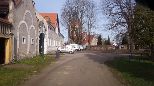
Atelierhof Werenzhain
Museum · 3.6 km
76 Werenzhainer Hauptstraße
May-Oct Sa 14:00-18:00; May-Sep Su 11:00-18:00; Oct Su 11:00-17:00

Kursächsische Postmeilensäule
Monument and historic site
Kursächsische Postmeilensäule-Distanzsäule, restauriert


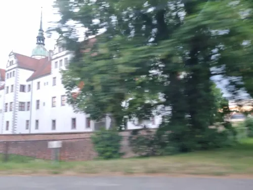
Stadttorgedenksäulen
Monument and historic site · 2.1 km
Stadttorgedenksäulen, errichtet 1907 an der Stelle des ehemaligen Soldatentores, Hauptstraße in Doberlug-Kirchhain
Hauptstraße, Doberlug-Kirchhain


Steinkreuz Friedersdorf
Monument and historic site · 8.2 km
Steht an der L 703, Weggabelung Brenitz - Zeckerin vor der alten Schule
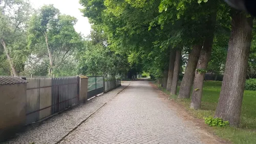
21
Monument and historic site · 9.6 km
Schloss Sonnewalde (Vorderschloss und Torhaus), Schloßstraße 21 in Sonnewalde
21 Schloßstraße, Sonnewalde

Brunnen
Monument and historic site · 2.1 km
Schloss Doberlug, Brunnen auf dem Schloßhof, Schlossplatz 1 in Doberlug-Kirchhain
Schloßstraße, Doberlug-Kirchhain
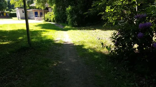
Hinterschloss
Monument and historic site · 9.7 km
Schloss Sonnewalde (Reste des abgebrannten Hinterschloss), Schloßstraße 21 in Sonnewalde
21 Schloßstraße, Sonnewalde

Vorderschloss
Monument and historic site · 9.6 km
Schloss Sonnewalde (Vorderschloss und Torhaus), Schloßstraße 21 in Sonnewalde
21 Schloßstraße, Sonnewalde
33 more on the map.
Parks, trails and playgrounds13
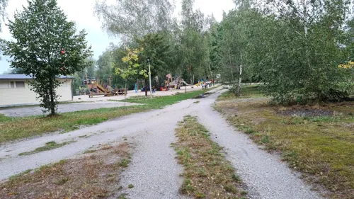



1 more on the map.
Restaurants and cafes39
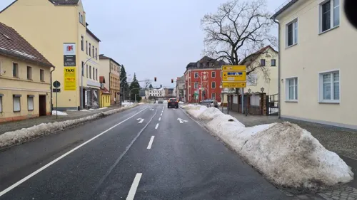
Finsterwalder Brauhaus
Restaurant · German · 10.0 km
13 Sonnewalder Straße, Finsterwalde
We-Sa 18:00-24:00; PH off
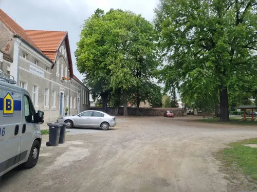
Atelierhof-Café
Cafe · Cake, German · 3.6 km
76 Werenzhainer Hauptstraße
May-Oct Sa 14:00-18:00; May-Sep Su 11:00-18:00; Oct Su 11:00-17:00

Namaste Restaurant and Pizzeria
Restaurant · Indian, Pizza · 9.8 km
34 Oscar-Kjellberg-Straße, Finsterwalde
PH,Mo-Su 11:00-14:00,17:00-22:30
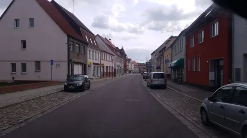
Punjabi Pizza Service
Restaurant · Pizza, Indian, Greek, Burger, German, Italian · 1.4 km
62 Potsdamer Straße, Doberlug-Kirchhain
Mo 17:00-23:00; Tu-Su 11:00-14:00,17:00-23:00

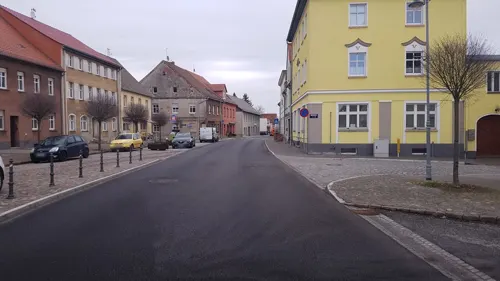
Bäckerei Bubner
Bakery · 9.7 km
35 Markt, Sonnewalde
Mo-Fr 06:00-18:00; Sa 06:00-12:00; Su 07:00-18:00
Trattoria Venezia "Am Grüner Berg"
Restaurant
22 Bahnhofstraße, Doberlug-Kirchhain
Mo 17:00-22:00, Tu-Su 11:00-14:00,17:00-22:00
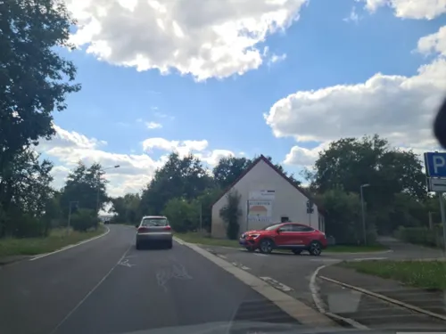
Klosterschänke am Schloß Doberlug
Restaurant · German · 2.1 km
2 Schloßplatz, Doberlug-Kirchhain
We 12:00-15:00,17:00-21:00; Th 12:00-15:00,17:00-21:00; Fr...
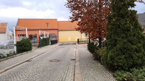
Mammitzsch
Bakery · 1.3 km
Bäckerei & Konditorei
2 Am Markt, Doberlug-Kirchhain
Mo-Fr 06:00-17:30; Sa 06:00-11:00; Su off
Schank- und Speisewirtschaft Dilan
Restaurant · Kebab · 1.1 km
51 Leipziger Straße, Doberlug-Kirchhain
Mo-Sa 10:00-22:00; Su 12:00-22:00
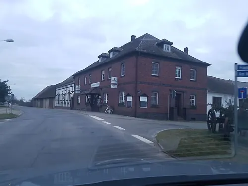


Frankenaer Erbhof
Restaurant · Regional · 4.1 km
32 Frankenaer Dorfstraße, Doberlug-Kirchhain
27 more on the map.
History
In 937, the town of Kirchhain was built by Margrave Gero. A document written in 1005 mentions the town Doberlug (Dobraluh) for the first time. During the German–Polish War of 1003–1005, allied forces of the Holy Roman Empire, Bavaria and Bohemia gathered in the area before launching a joint attack on Poland. During the German–Polish War of 1015–1018, Dobryług was an important defensive stronghold of Poland against the Germans, and it was protected from the west by additional field fortifications. In 1165 the Cistercian Dobrilugk Abbey was founded by Margrave Dietrich of Landsberg.
In 1235 Kirchhain received market-rights. In 1431 the Hussites destroyed the town of Doberlug and the abbey was devastated. During the Thirty Years' War, in 1637 and 1643, the Swedes destroyed Kirchhain.
From 1815 to 1947, Doberlug and Kirchhain were part of the Prussian Province of Brandenburg. In 1848, the jurisdictions of Doberlug and Kirchhain were unified, but the actual merger of the two towns did not take place until over one hundred years later, in 1950.
During World War II, Kirchhain was taken by the Red Army on 23 April 1945.
From 1952 to 1990, Doberlug-Kirchhain was part of the Bezirk Cottbus of East Germany.
From the History section of Doberlug-Kirchhain on Wikipedia, under CC BY-SA 4.0.
Where to stay4
Schullandheim Täubertsmühle
Motel and hotel · 7.9 km
4 Täubertsmühle, Rückersdorf
Churches and places of worship18
Dorfkirche Friedersdorf
Church · Lutheran · 8.1 km
5a Friedersdorfer Straße, Sonnewalde
Dorfkirche Schönewalde
Church · Lutheran · 6.5 km
46a Kirchhainer Chaussee, Sonnewalde
Sankt Pantaleon
Church · Lutheran · 4.2 km
6 Am Mühlenfließ, Doberlug-Kirchhain
Dorfkirche Eichholz
Church · Protestant · 6.1 km
67 Eichholzer Straße, Heideland
Evangelische Kirche Rückersdorf
Church · Protestant · 5.6 km
20 Dorfstraße, Rückersdorf
Shopping8
Gas and EV charging7
Schools, colleges and libraries12
Sängerstadt-Gymnasium
School · 9.8 km
3 Straße der Jugend, Finsterwalde
Evangelisches Gymnasium Doberlug-Kirchhain
School · 1.4 km
11 Straße der Jugend, Doberlug-Kirchhain
Kreismusikschule "Gebrüder Graun"
School · 9.6 km
22 Tuchmacherstraße, Finsterwalde
Healthcare6
Engel-Apotheke Nord
Clinic and pharmacy · 9.5 km
96 Sonnewalder Straße, Finsterwalde
Poliklinik - Arzt
Clinic and pharmacy · 10.0 km
1 Kirchhainer Straße, Finsterwalde
Map of Doberlug-Kirchhain
157 places. The map loads OpenStreetMap tiles when you open it.
Getting there and nearby towns
Verkehrslandeplatz Riesa-Göhlis (IES) is the nearest airport with scheduled flights listed in OpenStreetMap, 40 km away.
- Finsterwalde 10 km east, about 10 min by car
- Lauchhammer 21 km southeast, about 21 min by car
- Luckau 27 km north, about 27 min by car
- Großräschen 31 km east, about 31 min by car
- Senftenberg 32 km east, about 32 min by car
- Lubnjow 38 km northeast, about 38 min by car
- Lubin 41 km northeast, about 41 min by car
- Kolkwitz 49 km east, about 49 min by car
- Jüterbog 53 km northwest, about 53 min by car
- Cottbus 55 km east, about 55 min by car
Drive times are estimates from straight-line distance, not routes.
Local news
Headlines from INDB.
Reviews, tips and questions
Loading what members have shared...
Sources and licences
- GeoNames (CC BY 4.0): population, coordinates, regions and time zone
- Mapillary (see each image): photos
- OpenStreetMap contributors (ODbL 1.0): places, airports, map data
- Wikidata (CC0 1.0): elevation, founding date, time zone, website
- Wikimedia Commons (see each image): photos
- Wikipedia (CC BY-SA 4.0): overview and history text
Photo credits
- Doberlug-Kirchhain anno 2022 (Alter Fritz) 76, Alter Fritz, CC BY-SA 4.0
- Doberlug-Kirchhain anno 2022 (Alter Fritz) 75, Alter Fritz, CC BY-SA 4.0
- Doberlug-Kirchhain anno 2022 (Alter Fritz) 71, Alter Fritz, CC BY-SA 4.0
- Doberlug-Kirchhain anno 2022 (Alter Fritz) 73, Alter Fritz, CC BY-SA 4.0
- Doberlug-Kirchhain anno 2022 (Alter Fritz) 56, Alter Fritz, CC BY-SA 4.0
- Doberlug-Kirchhain anno 2022 (Alter Fritz) 57, Alter Fritz, CC BY-SA 4.0
- Doberlug-Kirchhain anno 2022 (Alter Fritz) 58, Alter Fritz, CC BY-SA 4.0
- Doberlug-Kirchhain anno 2022 (Alter Fritz) 74, Alter Fritz, CC BY-SA 4.0
- Doberlug-Kirchhain anno 2022 (Alter Fritz) 72, Alter Fritz, CC BY-SA 4.0
- Doberlug-Kirchhain anno 2022 (Alter Fritz) 50, Alter Fritz, CC BY-SA 4.0
- Doberlug-Kirchhain anno 2022 (Alter Fritz) 51, Alter Fritz, CC BY-SA 4.0
- Doberlug-Kirchhain anno 2022 (Alter Fritz) 52, Alter Fritz, CC BY-SA 4.0
- Doberlug-Kirchhain anno 2022 (Alter Fritz) 55, Alter Fritz, CC BY-SA 4.0
- Doberlug-Kirchhain anno 2022 (Alter Fritz) 53, Alter Fritz, CC BY-SA 4.0
- Doberlug-Kirchhain anno 2022 (Alter Fritz) 54, Alter Fritz, CC BY-SA 4.0
- Bahnhofstraße Doberlug-Kirchhain (Alter Fritz) 17, Alter Fritz, CC BY-SA 3.0
- Doberlug-Kirchhain anno 2022 (Alter Fritz) 83, Alter Fritz, CC BY-SA 4.0
- Doberlug-Kirchhain anno 2022 (Alter Fritz) 77, Alter Fritz, CC BY-SA 4.0
- Doberlug-Kirchhain anno 2022 (Alter Fritz) 79, Alter Fritz, CC BY-SA 4.0
- Doberlug-Kirchhain anno 2022 (Alter Fritz) 78, Alter Fritz, CC BY-SA 4.0
- Doberlug-Kirchhain anno 2022 (Alter Fritz) 70, Alter Fritz, CC BY-SA 4.0
- Doberlug-Kirchhain anno 2022 (Alter Fritz) 80, Alter Fritz, CC BY-SA 4.0
- Doberlug-Kirchhain anno 2022 (Alter Fritz) 67, Alter Fritz, CC BY-SA 4.0
- Doberlug-Kirchhain anno 2022 (Alter Fritz) 69, Alter Fritz, CC BY-SA 4.0
- Doberlug-Kirchhain anno 2022 (Alter Fritz) 68, Alter Fritz, CC BY-SA 4.0
- Doberlug-Kirchhain anno 2022 (Alter Fritz) 123, Alter Fritz, CC BY-SA 4.0
- Doberlug-Kirchhain anno 2022 (Alter Fritz) 122, Alter Fritz, CC BY-SA 4.0
- Baustoffhandel "an der Lohmühle", Bahnhofstraße Doberlug-Kirchhain (Alter Fritz), Alter Fritz, CC BY-SA 3.0
- Bahnhofstraße (Doberlug-Kirchhain) 2009 (Alter Fritz), Alter Fritz, CC BY-SA 4.0
- Doberlug-Kirchhain anno 2022 (Alter Fritz) 86, Alter Fritz, CC BY-SA 4.0
- Doberlug-Kirchhain anno 2022 (Alter Fritz) 64, Alter Fritz, CC BY-SA 4.0
- Doberlug-Kirchhain anno 2022 (Alter Fritz) 66, Alter Fritz, CC BY-SA 4.0
- Doberlug-Kirchhain anno 2022 (Alter Fritz) 65, Alter Fritz, CC BY-SA 4.0
- Doberlug-Kirchhain May2015 img4 Schloss Doberlug, A.Savin, CC BY-SA 3.0
- Gerberstadt-Gymnasium DoKi 2008 Alter Fritz, Alter Fritz, CC BY-SA 3.0
- Weißgerbermuseum Doberlug-Kirchhain, LutzBruno, Public domain
- Rückersdorf Kirche 8, OnkelJohn, CC BY-SA 3.0
- Kirche2Trebbus, Detlef Rippert, Trebbus, CC BY 2.5
- Sonnewalde Kirche, Clemensfranz, CC BY-SA 3.0
- Dorfkirche Schadewitz Jul 18 P1130159, S. John, Elsterwerda, CC BY-SA 3.0
- Doberlug-Kirchhain Frankena Kirche, Clemensfranz, CC BY-SA 3.0
- Werenzhain kirche, Z thomas, CC BY 3.0
- Kirche Eichholz 1, Derbrauni, CC BY-SA 4.0
- Kursächsische Postmeilensäule Doberlug-Kirchhain 1 (Alter Fritz), Alter Fritz, CC BY-SA 3.0
- Friedersdorf Kirche, Radler59 ( talk ), CC BY-SA 4.0
- Schoenewalde Kirchhainer Chaussee Kirche-01, Radler59 ( talk ), CC BY-SA 4.0
- Kirche in Fischwasser, LutzBruno, CC BY-SA 4.0
- Friedersdorf Steinkreuz, Radler59, CC BY-SA 3.0
- KircheSorno, Global Fish, CC BY-SA 3.0
- Bockwindmühle Trebbus, LutzBruno, Public domain
- FI-Gymnasium-3, SchiDD, CC BY-SA 4.0
- Doberlug-Kirchhain May2015 img5 Klosterkirche, A.Savin, CC BY-SA 3.0
- Priessen Steinkreuz, Radler59, CC BY-SA 3.0
- Doberlug Schloss Brunnen-01, Radler59 ( talk ), CC BY-SA 4.0
- Street-level photo, dsmm, CC BY-SA 4.0
- Street-level photo, dsmm, CC BY-SA 4.0
- Street-level photo, dsmm, CC BY-SA 4.0
- Street-level photo, dsmm, CC BY-SA 4.0
- Street-level photo, dsmm, CC BY-SA 4.0
- Street-level photo, dsmm, CC BY-SA 4.0
- Street-level photo, dsmm, CC BY-SA 4.0
- Street-level photo, dsmm, CC BY-SA 4.0
- Street-level photo, dsmm, CC BY-SA 4.0
- Street-level photo, dsmm, CC BY-SA 4.0
- Street-level photo, dsmm, CC BY-SA 4.0
- Street-level photo, dsmm, CC BY-SA 4.0
- Street-level photo, dsmm, CC BY-SA 4.0
- Street-level photo, dsmm, CC BY-SA 4.0
- Street-level photo, dsmm, CC BY-SA 4.0
- Street-level photo, dsmm, CC BY-SA 4.0
- Street-level photo, dsmm, CC BY-SA 4.0
- Street-level photo, dsmm, CC BY-SA 4.0
- Street-level photo, dsmm, CC BY-SA 4.0
- Street-level photo, dsmm, CC BY-SA 4.0


Page built November 8, 2026. Spotted a mistake? Tell us or suggest a place.