


Bad Liebenwerda, Germany
Bad Liebenwerda is a town of 10,890 people in Brandenburg, Germany.
Why visit Bad Liebenwerda
Townapedia lists 57 museums and landmarks, 20 parks and trails, 47 places to eat, 9 places to stay and 12 attractions in and around town.
Highlights include Lubwartturm, Güterbank, Brikettfabrik Louise and Grenzstein 189 KS/KP.
Weather in Bad Liebenwerda
Forecast from MET Norway (CC BY 4.0). Full forecast
About Bad Liebenwerda
Bad Liebenwerda (German: [baːt ˌliːbm̩ˈvɛʁda] ) is a spa town in the Elbe-Elster district, in southwestern Brandenburg, Germany. It is situated on the river Schwarze Elster, 57 km northwest of Dresden, and 28 km east of Torgau.
From the Wikipedia article Bad Liebenwerda (this version), under CC BY-SA 4.0.
Things to do12

Lubwartturm
Scenic view
Errichtet als Bergfried einer mittelalterlichen Burg, baulich verbliebene Rest des einstigen Schlosses Liebenwerda.
Burgplatz, Bad Liebenwerda





Museums and landmarks57

Brikettfabrik Louise
Museum · 7.4 km
Brikettfabrik Louise, die älteste Brikettfabrik in Europa, in Uebigau-Wahrenbrück Ortsteil Domsdorf.
111 Louise, Uebigau-Wahrenbrück

Grenzstein 189 KS/KP
Monument and historic site · 8.5 km
Grenzstein Nr. 189 Historische Landesgrenze Königreich Sachsen Königreich Preußen 1815 (Wiener Kongress)

Grenzstein 190 KS/KP
Monument and historic site · 7.7 km
Grenzstein Nr. 190 Historische Landesgrenze Königreich Sachsen Königreich Preußen 1815 (Wiener Kongress)

Grenzstein 192 KS/KP
Monument and historic site · 7.7 km
Grenzstein Nr. 192 Historische Landesgrenze Königreich Sachsen Königreich Preußen 1815 (Wiener Kongress)

Grenzstein 193 KS/KP
Monument and historic site · 8.9 km
Grenzstein Nr. 193 Historische Landesgrenze Königreich Sachsen Königreich Preußen 1815 (Wiener Kongress)

Kursächsische Postmeilensäule
Monument and historic site · 4.0 km
Kursächsischen Postmeilensäule-Distanzsäule, Brückenstraße in Uebigau-Wahrenbrück OT Wahrenbrück

Mitteldeutsches Marionettentheatermuseum
Museum
2 Burgplatz, Bad Liebenwerda
Tu-Su 11:00-18:00

Wasserturm Biehla
Monument and historic site · 9.2 km
28 Winterberg, Elsterwerda
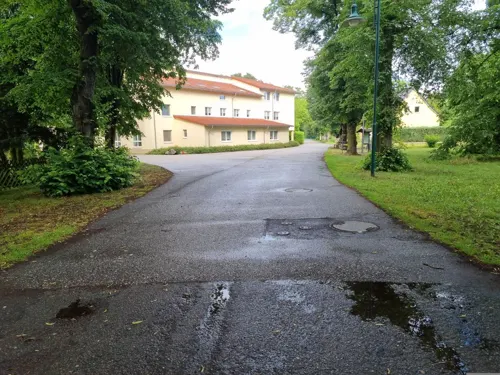
Steinkreuz
Monument and historic site · 3.8 km
Steinkreuz, vor der Elstermühle, Am Park 1 in Uebigau-Wahrenbrück OT Wahrenbrück
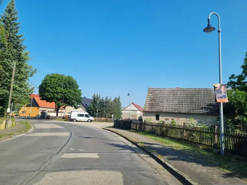

Sühnekreuz
Monument and historic site · 8.9 km
Steht am Ortsausgang von Kröbeln, wird auch Franzosengrab genannt.

45 more on the map.
Parks, trails and playgrounds20

Alte Röder bei Prieschka
Park · 4.7 km
Nature reserve in Brandenburg, Germany






8 more on the map.
Restaurants and cafes47
Cafe Elsterstübchen
Cafe · Coffee Shop, German · 6.6 km
1a Zinsdorfer Straße, Uebigau-Wahrenbrück
Apr-Oct: Tu-Su 14:00+
Restaurant Herr K
Restaurant · German · 9.1 km
5 Breite Straße, Elsterwerda
Mo 15:00-22:00; We,Th 15:00-23:00; Fr,Sa 15:00-24:00; Su...

Zu den Drei Rosen
Restaurant · Regional · 3.3 km
32 Hauptstraße, Uebigau-Wahrenbrück
We-Su 11:00-24:00
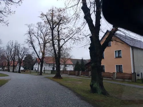
Burgwall-Café
Cafe · Regional, Ice Cream, German · 7.8 km
46 Dorfstraße, Bad Liebenwerda
Fr 14:30-19:00; Sa 13:00-19:00, Su 13:00-19:00
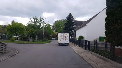
Pförtners Backstübchen
Bakery · 7.8 km
5 Reichenhainer Straße, Röderland
Tu,Fr 07:00-12:00,15:00-17:00; We,Th 07:00-12:00; Sa 06:00-10:00;...
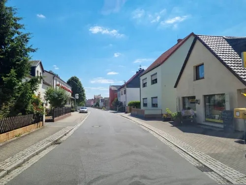
Teschners Gasthof Am Glockenturm
Restaurant · German · 9.1 km
Preise eines Gerichts um die 13€
38 Haidaer Straße, Elsterwerda
Tu-Sa 16:30-00:00; Su,PH 11:00-14:00

Eiscafé Mani
Cafe · Cake, Ice Cream
11a Nordring, Bad Liebenwerda
Mo-Su,PH 09:00-17:00
Gasthof Kramer
Restaurant · Regional · 8.1 km
54 Dorfstraße, Bad Liebenwerda
Th-Fr 11:00-13:00, 17:00-21:00; Sa 11:00-13:00, 17:00-22:00; Su...
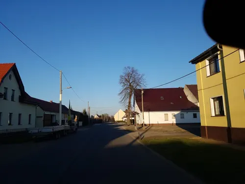
Gasthof Zur heiteren Laune
Restaurant · German · 3.3 km
1 Mittelstraße, Bad Liebenwerda
Fr-Su 11:00-14:30, Sa-Su 17:00+


35 more on the map.
History
The first written mention is from the Lievenwerde in 1231. The meaning of the name is Live, or Lieb for life or lovely, and -werde from werda meaning island, high place in water. The document mentions an Otto of Ileburg, Vogt of Lievenwerde, and Plebanus Walterus, a priest.
Liebenwerda has a moated castle with a keep known as the Lubwartturm. The first mention as Liebenwerda as a city is from 1304. Liebenwerda was part of the Electorate of Saxony and Kingdom of Saxony until 1815; as a result of the Congress of Vienna the area became a district in the Kingdom of Prussia. The town has had a health spa since 1905, and in 1925 the word Bad was prefixed to its name. From 1952 to 1990, Bad Liebenwerda was part of the Bezirk Cottbus of East Germany.
From the History section of Bad Liebenwerda on Wikipedia, under CC BY-SA 4.0.
Where to stay9
Churches and places of worship13
Christuskirche
Church · Protestant · 9.2 km
10 Birkenweg, Elsterwerda
Sankt Barbara
Church · Protestant · 5.4 km
51 Dorfstraße, Bad Liebenwerda
Shopping11
Gas and EV charging5
Schools, colleges and libraries6
Robert-Reiss-Oberschule
School · 1.2 km
42 Heinrich-Heine-Straße, Bad Liebenwerda
Healthcare2
Map of Bad Liebenwerda
182 places. The map loads OpenStreetMap tiles when you open it.
Getting there and nearby towns
Verkehrslandeplatz Riesa-Göhlis (IES) is the nearest airport with scheduled flights listed in OpenStreetMap, 25 km away.
- Doberlug-Kirchhain 17 km northeast, about 17 min by car
- Finsterwalde 25 km northeast, about 25 min by car
- Lauchhammer 26 km east, about 26 min by car
- Senftenberg 42 km east, about 42 min by car
- Luckau 43 km northeast, about 43 min by car
- Großräschen 43 km east, about 43 min by car
- Lubnjow 54 km northeast, about 54 min by car
- Dresden 57 km southeast, about 57 min by car
- Jüterbog 57 km north, about 57 min by car
- Lubin 58 km northeast, about 58 min by car
Drive times are estimates from straight-line distance, not routes.
Local news
Headlines from INDB.
Reviews, tips and questions
Loading what members have shared...
Sources and licences
- GeoNames (CC BY 4.0): population, coordinates, regions and time zone
- Mapillary (see each image): photos
- OpenStreetMap contributors (ODbL 1.0): places, airports, map data
- Wikidata (CC0 1.0): elevation, founding date, time zone, website, landmarks and historic places
- Wikimedia Commons (see each image): photos
- Wikipedia (CC BY-SA 4.0): overview and history text
Photo credits
- Schlossstrasse bad Liebenwerda, LutzBruno, Public domain
- Bad Liebenwerda 0017, Stefan Fussan, CC BY-SA 3.0
- Schwarze Elster Mühlgraben Bad Liebenwerda 2018, LutzBruno, CC BY-SA 4.0
- Kelle & Hildebrandt Abfluss in Bad Liebenwerda, LutzBruno, CC BY-SA 4.0
- Bad Liebenwerda 0019, Stefan Fussan, CC BY-SA 3.0
- Bad Liebenwerda Rosmaringasse 2 Denkmalschild, Assenmacher, CC BY-SA 4.0
- Bad Liebenwerda Rosmaringasse 2, Assenmacher, CC BY-SA 4.0
- Bad Liebenwerda 0004, Stefan Fussan, CC BY-SA 3.0
- Nikolaikirche (Bad Liebenwerda) 04, Clemensfranz, CC BY-SA 4.0
- Denkmalsbrunnen (Bad Liebenwerda), Clemensfranz, CC BY-SA 4.0
- Bad Liebenwerda Denkmalsbrunnen 02, Assenmacher, CC BY-SA 4.0
- Bad Liebenwerda Denkmalsbrunnen 01, Assenmacher, CC BY-SA 4.0
- Bad Liebenwerda Nikolaikirche Mende-Orgel Prospekt, Assenmacher, CC BY-SA 4.0
- Bad Liebenwerda Nikolaikirche Flachdecke von Oetken, Assenmacher, CC BY-SA 4.0
- Bad Liebenwerda Nikolaikirche Fünte, Assenmacher, CC BY-SA 4.0
- Bad Liebenwerda Nikolaikirche seitliches Orgelprospekt, Assenmacher, CC BY-SA 4.0
- Bad Liebenwerda Nikolaikirche nördliches Kirchenschiff, Assenmacher, CC BY-SA 4.0
- Bad Liebenwerda Nikolaikirche Orgelempore, Assenmacher, CC BY-SA 4.0
- Bad Liebenwerda Nikolaikirche Altar, Assenmacher, CC BY-SA 4.0
- Bad Liebenwerda Nikolaikirche Schiff und Chor, Assenmacher, CC BY-SA 4.0
- Bad Liebenwerda Nikolaikirche Kanzel, Assenmacher, CC BY-SA 4.0
- Bad Liebenwerda Nikolaikirche Südostansicht, Assenmacher, CC BY-SA 4.0
- Bad Liebenwerda Nikolaikirche Büste Luther, Assenmacher, CC BY-SA 4.0
- Bad Liebenwerda Nikolaikirche Orgelempore mit Mose und Johannes dT, Assenmacher, CC BY-SA 4.0
- Bad Liebenwerda Nikolaikirche Mende-Orgel Pfeifen, Assenmacher, CC BY-SA 4.0
- Bad Liebenwerda Nikolaikirche Flachdecke, Assenmacher, CC BY-SA 4.0
- Alte Röder Apr 13 09a, S. John, Elsterwerda, CC BY-SA 3.0
- KircheBiehla2, Silvio John, Elsterwerda, CC BY 2.5
- Gut Saathain 4973, Stefan Fussan, CC BY-SA 3.0
- Winterberg Biehla 3a, Silvio John, Elsterwerda, CC BY 3.0
- BadLiebenw-Lubwartturm, SchiDD, CC BY-SA 3.0
- Rothsteiner Felsen 7, LutzBruno, CC BY 3.0
- Kirche Würdenhain 04 2014b, S. John, Elsterwerda, CC BY-SA 3.0
- Bad Liebenwerda St Nikolai, Assenmacher (shifted by Rabanus Flavus ), CC BY-SA 4.0
- Kreismuseum Bad Liebenwerda Juni 2015, Assenmacher, CC BY-SA 4.0
- Bönitz Kirche 2013 1b, S. John, Elsterwerda, CC BY-SA 3.0
- Oschätzchen b, LutzBruno derivative work: S. F. B. Morse (Veränderungen: Bildausschnitt, Perspektive, Kontrast), Public domain
- Saxdorf Kirche Ausschnitt, Radler59, CC BY-SA 3.0
- Kauxdorf Kirche, Radler59, CC BY-SA 3.0
- Tröbitz, die Dorfkirche, Dguendel, CC BY 4.0
- Station 69 Schweinfurth, Radler59, CC BY-SA 3.0
- Dorfkirche Schadewitz Jul 18 P1130159, S. John, Elsterwerda, CC BY-SA 3.0
- Wahrenbrueck Postmeilensaeule-04, Radler59 ( talk ), CC BY-SA 4.0
- Kirche in Wildgrube, LutzBruno, Public domain
- Katholische Kirche Herz Jesu Bad Liebenwerda, LutzBruno, CC BY-SA 3.0
- Tröbitz 003, Brikettfabrik Louise, Wolkenkratzer, CC BY-SA 4.0
- Grenzstein 189 KS KP, Radler59, CC BY-SA 3.0
- Grenzstein 190 KS KP, Radler59, CC BY-SA 3.0
- Grenzstein 192 KS KP, Radler59, CC BY-SA 3.0
- Grenzstein 193 KS KP, Radler59, CC BY-SA 3.0
- Kröbeln Steinkreuz, Radler59, CC BY-SA 3.0
- WasserturmBiehla4, Silvio John, Elsterwerda, CC BY 2.5
- EE 03-14 Img03 Bad Liebenwerda Kurpark, A.Savin, CC BY-SA 3.0
- Street-level photo, dsmm, CC BY-SA 4.0
- Street-level photo, dsmm, CC BY-SA 4.0
- Street-level photo, dsmm, CC BY-SA 4.0
- Street-level photo, dsmm, CC BY-SA 4.0
- Street-level photo, dsmm, CC BY-SA 4.0
- Street-level photo, dsmm, CC BY-SA 4.0
- Street-level photo, dsmm, CC BY-SA 4.0
- Street-level photo, dsmm, CC BY-SA 4.0
- Street-level photo, dsmm, CC BY-SA 4.0
- Street-level photo, dsmm, CC BY-SA 4.0
- Street-level photo, dsmm, CC BY-SA 4.0
- Street-level photo, dsmm, CC BY-SA 4.0
- Street-level photo, dsmm, CC BY-SA 4.0
- Street-level photo, dsmm, CC BY-SA 4.0
- Street-level photo, dsmm, CC BY-SA 4.0
- Street-level photo, dsmm, CC BY-SA 4.0
- Street-level photo, dsmm, CC BY-SA 4.0
- Street-level photo, eflaneur, CC BY-SA 4.0
- Street-level photo, eflaneur, CC BY-SA 4.0
- Street-level photo, dsmm, CC BY-SA 4.0
- Street-level photo, dsmm, CC BY-SA 4.0
- Street-level photo, dsmm, CC BY-SA 4.0
- Street-level photo, dsmm, CC BY-SA 4.0


Page built November 8, 2026. Spotted a mistake? Tell us or suggest a place.