


Why visit Kitzingen
Townapedia lists 88 museums and landmarks, 22 parks and trails, 126 places to eat, 18 places to stay and 11 attractions in and around town.
Highlights include Roxy Kino, Spargel & Beerenhof Familie Neubert, Conditorei Museum and Deutsches Fastnachtsmuseum.
Weather in Kitzingen
Forecast from MET Norway (CC BY 4.0). Full forecast
About Kitzingen
Kitzingen (German pronunciation: [ˈkɪtsɪŋən] ) is a town in the German state of Bavaria, capital of the district Kitzingen. It is part of the Franconia geographical region and has around 21,000 inhabitants. Surrounded by vineyards, Kitzingen County is the largest wine producer in Bavaria. It is said to be Franconia's wine trade center.
From the Wikipedia article Kitzingen (this version), under CC BY-SA 4.0.
Things to do11



Museums and landmarks88


Deuster Turm
Monument and historic site · 0.6 km
Turm des zerstörten Deuster-Schlosses

Marktbreit
Monument and historic site · 7.8 km
Archaeological site in Germany


Falterturm
Monument and historic site · 0.7 km
23 Falterstraße, Kitzingen

Johannes-Nepomuk-Figur
Monument and historic site · 3.9 km
Figur des Hl. Johannes Nepomuk mit kleinem Engel

Marktturm
Monument and historic site · 0.8 km
Befestigungsturm der inneren Stadtmauer
32 Marktstraße, Kitzingen



76 more on the map.
Parks, trails and playgrounds22

aqua-sole Freibad auf der Mondseeinsel
Sports field and stadium · 1.4 km
12 Marktbreiter Straße, Kitzingen
Mo,We 07:00-22:00; Tu,Th 08:00-22:00; Fr 08:00-23:00; Sa...




Segel u. Sportbootclub Kitzingen e.V.
Marina and boat launch · 1.6 km
Main-km 285,6 LU; Strom/Wasser, Dusche/WC; max. L 12m


10 more on the map.
Restaurants and cafes126
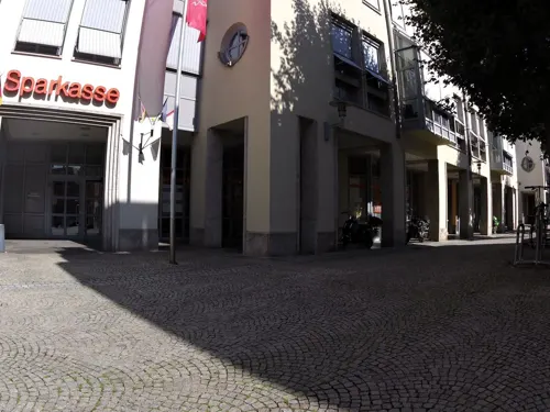
Fränkischer Hof
Restaurant · Regional · 0.7 km
4 Königsplatz, Kitzingen
Mo-Fr 08:00-11:00,16:00-20:00; Sa-Su 08:00-11:00,16:00-12:00
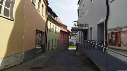
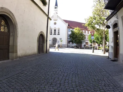
Bäckerei Rösner
Cafe · Bakery · 0.8 km
26 Marktstraße, Kitzingen
Mo-Fr 07:00-18:00; Sa 07:00-17:00; Su 08:00-17:00

Franken Handlung
Cafe · Regional · 0.7 km
31 Kaiserstraße, Kitzingen
Tu-Fr 07:00-17:00; Sa 07:00-13:00
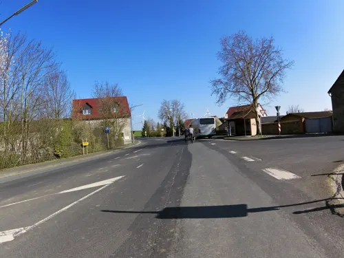
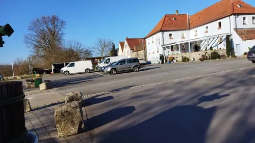

Mongolian-Barbeque
Restaurant · Chinese · 3.1 km
1 Panzerstraße, Kitzingen
Mo-Sa 11:30-15:00,17:30-17:30; Su 11:30-23:30
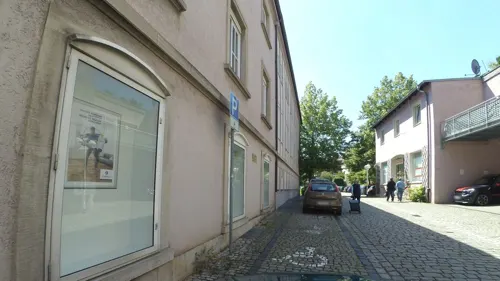
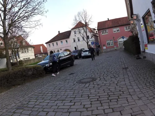
Osteria da Carlotta
Restaurant · Italian · 0.9 km
11-17 Ritterstraße
Mo,Th-Sa 09:00-22:00; Tu,We 09:00-16:00; Su 09:00-17:00
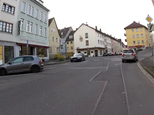
Pizza Blitz
Restaurant · Burger, Pizza · 0.6 km
1 Untere Bachgasse, Kitzingen
Mo-Su 11:30-13:45, 17:00-23:45
Restaurant Hot-Chilli Taste of India
Restaurant · Regional, Indonesian · 3.6 km
14 Albertshöfer Straße, Mainstockheim
Tu-Fr 16:30-22:00; Sa 11:30-14:00,16:30-22:00; Su,PH 11:30-22:00; Mo off
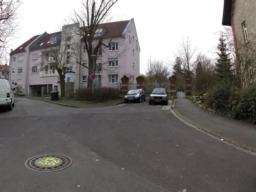


Restaurant Montevarchi
Restaurant · Italian, Pizza · 1.3 km
46 Wörthstraße
Tu 17:00-23:00; We-Sa 11:00-14:00, 17:00-23:00; Su 11:00-14:00, 17:00-22:00
114 more on the map.
History
According to legend, Kitzingen was founded when the Countess of Schwanberg lost her jeweled scarf while standing on the ramparts of her castle. The castle was located high above the fertile section of the Main Valley where Kitzingen now lies. The Countess promised to build a monastery on the spot where the scarf was found. When it was found by a shepherd named Kitz, she kept her word and built a monastery which she called Kitzingen. That Benedictine monastery, founded in the 8th century on the site of the present town of Kitzingen, defended the ford across the river Main.
Kitzingen's history is closely tied to Würzburg. Kitzingen became a free imperial city around the year 1000. During the next century the town changed rulers often, mostly being ruled by Würzburg prince-bishops who sold the town twice to fill their empty treasury.
In 1629, Prince-Bishop Philipp Adolf von Ehrenberg of Würzburg took up his option to repurchase Kitzingen after the Peasants' Revolt in 1525. He abolished Protestantism and forced more than 1,000 residents to leave the town. This blow to the town's strength was followed by the Swedish three-year occupation during the Thirty Years' War.
From the History section of Kitzingen on Wikipedia, under CC BY-SA 4.0.
Where to stay18
Wohnmobilstellplatz "Weingut Eherieder Mühle"
Campground · 2.2 km
115 Kaltensondheimer Straße, Kitzingen
Churches and places of worship35
St. Johannes der Täufer
Church · Catholic · 0.9 km
5 Obere Kirchgasse, Kitzingen
Shopping28
Gas and EV charging12
Tankstelle W&D Wengel und Dettelbacher 24Std.
Gas station · 2.7 km
17 Am Dreistock
Schools, colleges and libraries15
Grund- u. Mittelschule Buchbrunn (Schulhaus Mainstockheim)
School · 3.5 km
12 Am Kirchberg, Mainstockheim
Grund- und Mittelschule Buchbrunn (Grundschule Kaltensondheim)
School · 4.3 km
5 Schulweg, Biebelried
Healthcare11
Stadt-Apotheke Mainbernheim
Clinic and pharmacy · 5.9 km
44 Herrnstraße, Mainbernheim
Map of Kitzingen
250 places. The map loads OpenStreetMap tiles when you open it.
Getting there and nearby towns
Sonderlandeplatz Kitzingen (KZG) is the nearest airport with scheduled flights listed in OpenStreetMap, 4 km away.
- Ochsenfurt 11 km southwest, about 11 min by car
- Würzburg 16 km northwest, about 16 min by car
- Veitshöchheim 22 km northwest, about 22 min by car
- Werneck 27 km north, about 27 min by car
- Schweinfurt 35 km north, about 35 min by car
- Lauda-Königshofen 37 km southwest, about 37 min by car
- Tauberbischofsheim 37 km west, about 37 min by car
- Neustadt an der Aisch 38 km southeast, about 38 min by car
- Bad Mergentheim 39 km southwest, about 39 min by car
- Rothenburg ob der Tauber 40 km south, about 40 min by car
Drive times are estimates from straight-line distance, not routes.
Local news
Headlines from INDB.
Reviews, tips and questions
Loading what members have shared...
Sources and licences
- GeoNames (CC BY 4.0): population, coordinates, regions and time zone
- Mapillary (see each image): photos
- OpenStreetMap contributors (ODbL 1.0): places, airports, map data
- Wikidata (CC0 1.0): elevation, founding date, time zone, website, landmarks and historic places
- Wikimedia Commons (see each image): photos
- Wikipedia (CC BY-SA 4.0): overview and history text
Photo credits
- Kitzingen Alte Mainbrücke, Benreis, CC BY-SA 3.0
- Stolperstein Kitzingen Lindenstraße 4 Berta Jakubowicz, Gmbo 2013, CC0
- Stolperstein Kitzingen Würzburger Straße 5 Berta Schönfeld, Gmbo 2013, CC0
- Stolpersteinlage Kitzingen Lindenstraße 4, Gmbo 2013, CC0
- Stolperstein Kitzingen Lindenstraße 4 Renate Jakubowicz, Gmbo 2013, CC0
- Stolperstein Kitzingen Lindenstraße 4 Julius Glückstein, Gmbo 2013, CC0
- Stolperstein Kitzingen Lindenstraße 4 Jonas Jakubowicz, Gmbo 2013, CC0
- Stolpersteinlage Kitzingen Würzburger Straße 5, Gmbo 2013, CC0
- Stolpersteine Kitzingen Lindenstraße 4, Gmbo 2013, CC0
- Stolpersteine Kitzingen Würzburger Straße 5, Gmbo 2013, CC0
- Stolperstein Kitzingen Würzburger Straße 5 Sally Schie Schönfeld, Gmbo 2013, CC0
- Stolperstein Kitzingen Würzburger Straße 5 Hermine Klein, Gmbo 2013, CC0
- Stolperstein Kitzingen Obere Bachgasse 26 Moritz Hichberger, Gmbo 2013, CC0
- Stolperstein Kitzingen Obere Bachgasse 26 Lina Hichberger, Gmbo 2013, CC0
- Skulptur vor dem Amtsgericht Kitzingen - panoramio, Siegmar S., CC BY-SA 3.0
- Stolpersteine Kitzingen Obere Bachgasse 26, Gmbo 2013, CC0
- Stolpersteinlage Kitzingen Obere Bachgasse 26, Gmbo 2013, CC0
- Motorradarken Kitzingen Kaiserstraße 31, Gmbo 2013, CC0
- Stolpersteine Kitzingen Rosenstraße 26, Gmbo 2013, CC0
- Stolperstein Kitzingen Rosenstraße 26 Emil Reich, Gmbo 2013, CC0
- Stolperstein Kitzingen Rosenstraße 26 Ruth Reich, Gmbo 2013, CC0
- Stolperstein Kitzingen Rosenstraße 26 Meta Reich, Gmbo 2013, CC0
- Stolperstein Kitzingen Rosenstraße 26 Edith Adler, Gmbo 2013, CC0
- Stolpersteinlage Kitzingen Rosenstraße 26, Gmbo 2013, CC0
- Stolperstein Kitzingen Rosenstraße 20 Josef Schuster, Gmbo 2013, CC0
- Stolpersteinlage Kitzingen Rosenstraße 13, Gmbo 2013, CC0
- Stolperstein Kitzingen Rosenstraße 13 Marianne Oppenheimer, Gmbo 2013, CC0
- Stolpersteine Kitzingen Rosenstraße 13, Gmbo 2013, CC0
- Stolperstein Kitzingen Rosenstraße 13 Gerda Oppenheimer, Gmbo 2013, CC0
- Stolpersteinlage Kitzingen Rosenstraße 20, Gmbo 2013, CC0
- Stolperstein Kitzingen Kaiserstraße 36 Siegfried Mayer, Gmbo 2013, CC0
- Kitzingen Friedenstraße 3 SideBuilding, KaiBorgeest, CC BY-SA 4.0
- Stolperstein Kitzingen Rosenstraße 10 Georg Reinthaler, Gmbo 2013, CC0
- Stolperstein Kitzingen Rosenstraße 10 Emma Reinthaler, Gmbo 2013, CC0
- Kitzingen, Marktstraße 26, 24 20170305 001, Tilman2007, CC BY-SA 4.0
- Kitzingen Falterturm 2013, Helmlechner, CC BY-SA 3.0
- StadtkircheTurm, Settembrini, CC BY 3.0
- Mainbernheim Evangelische Kirche 39, Reinhardhauke, CC BY-SA 3.0
- Kitzingen St. Johannes, AlteMainbrückeKitzingen.jpg : Settembrini derivative work: Rabanus Flavus ( talk ), CC BY-SA 3.0
- Friedenskirche Kitzingen 03, Monandowitsch, CC BY-SA 4.0
- Fröhstockheim St. Laurentius 001, Tilman2007, CC BY 3.0
- Hohenfeld Bergkirche St. Margarehte 001, Tilman2007, CC BY 3.0
- ChorKiHfd, Irmgard (Sucomo) ( Diskussion ), CC BY-SA 3.0
- Marktsteft, Kirchenburg, St. Stephanl, 001, Tilman2007, CC BY-SA 3.0
- KiSickersh, Irmgard (Sucomo) ( Diskussion ), CC BY-SA 3.0
- Kitzingen, Hindenburgring Nord, Schlossturm 20170305 002, Tilman2007, CC BY-SA 4.0
- Stolpersteinlage Kitzingen Rosenstraße 10, Gmbo 2013, CC0
- Sulzfeld, Raiffeisenstraße, Nepomukfigur-001, Tilman2007, CC BY-SA 3.0
- Deutsches Fastnachtsmuseum, Settembrini, CC BY 3.0
- Marksteft, Michelfeld, Schloßstraße 1, 001, Tilman2007, CC BY-SA 3.0
- Roemerlager Marktbreit 02, Immanuel Giel, CC BY-SA 4.0
- Kitzingen. Rathaus und Marktturm - geo.hlipp.de - 14012, Udo und Joan Fugel on geo.hlipp.de, CC BY-SA 2.0
- Street-level photo, zoegglmeyr, CC BY-SA 4.0
- Street-level photo, changchun1, CC BY-SA 4.0
- Street-level photo, zoegglmeyr, CC BY-SA 4.0
- Street-level photo, changchun1, CC BY-SA 4.0
- Street-level photo, aleksic, CC BY-SA 4.0
- Street-level photo, poxonline, CC BY-SA 4.0
- Street-level photo, zoegglmeyr, CC BY-SA 4.0
- Street-level photo, changchun1, CC BY-SA 4.0
- Street-level photo, changchun1, CC BY-SA 4.0
- Street-level photo, zoegglmeyr, CC BY-SA 4.0
- Street-level photo, wegavision, CC BY-SA 4.0
- Street-level photo, zoegglmeyr, CC BY-SA 4.0
- Street-level photo, zoegglmeyr, CC BY-SA 4.0
- Street-level photo, zoegglmeyr1, CC BY-SA 4.0
- Street-level photo, changchun1, CC BY-SA 4.0
- Street-level photo, changchun1, CC BY-SA 4.0
- Street-level photo, zoegglmeyr, CC BY-SA 4.0
- Street-level photo, bernd_niemann, CC BY-SA 4.0
- Street-level photo, zoegglmeyr, CC BY-SA 4.0
- Street-level photo, zoegglmeyr, CC BY-SA 4.0
- Street-level photo, zoegglmeyr, CC BY-SA 4.0
- Street-level photo, ramap, CC BY-SA 4.0
- Street-level photo, changchun1, CC BY-SA 4.0
- Street-level photo, ramap, CC BY-SA 4.0


Page built November 8, 2026. Spotted a mistake? Tell us or suggest a place.