


Königslutter am Elm, Germany
Königslutter am Elm is a town of 16,419 people in Lower Saxony, Germany.
Why visit Königslutter am Elm
Townapedia lists 49 museums and landmarks, 18 parks and trails, 59 places to eat, 10 places to stay and 42 attractions in and around town.
Highlights include Alpaka Paradies Sonnenburg, Kammerlichtspiele Königslutter, Museum für mechanische Musikinstrumente and Bockwindmühle Abbenrode.
Weather in Königslutter am Elm
Forecast from MET Norway (CC BY 4.0). Full forecast
About Königslutter am Elm
Königslutter am Elm (German pronunciation: [køːnɪçsˈlʊtɐ ʔam ˈʔɛlm], lit. 'Königslutter on the Elm') is a town in the district of Helmstedt in Lower Saxony, Germany.
From the Wikipedia article Königslutter (this version), under CC BY-SA 4.0.
Travel tips from other travellers: Königslutter am Elm on Wikivoyage (CC BY-SA 4.0).
Things to do42





30 more on the map.
Museums and landmarks49


Bockwindmühle Abbenrode
Monument and historic site · 6.4 km
Bockwindmühle in Cremlingen OT Abbenrode am Elm



Alte Domäne Süpplingenburg
Monument and historic site · 5.9 km
Noch existierende Burg
6 Mühlenweg, Süpplingenburg

Burg Süpplingenburg
Monument and historic site · 6.0 km
Um 1875 wurden wegen zunehmenden Verfalls alle Burggebäude und die Befestigungsmauern abgerissen und der Wassergraben zugeschüttet....


Schloss Destedt
Monument and historic site · 7.4 km
5 An der Oberburg, Cremlingen
37 more on the map.
Parks, trails and playgrounds18

Freibad am Elm
Sports field and stadium · 8.2 km
1 An der Badeanstalt, Cremlingen
May-Jun, Sep: 10:00-19:00; Jul-Aug 09:00-20:00; PH off

Kalksteinbruch und Halbtrockenrasen am Eich-Berg bei Hemkenrode
Hiking and trails · 7.6 km


Tierpark Essehof
Park · 12.0 km
Zoo in Lehre, Landkreis Helmstedt, Germany



6 more on the map.
Restaurants and cafes59

Sportheim "La Dolce Vita"
Restaurant · Italian · 8.5 km
14 Kleiberg, Cremlingen
Tu-Fr 17:00-22:00; Sa-Su 11:30-14:00, 17:00-22:00
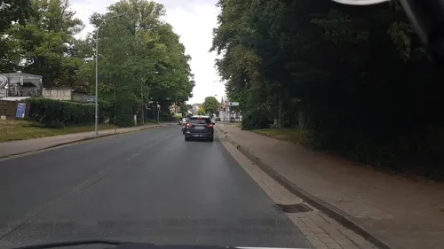
Altes Brauhaus
Restaurant · German
24 Westernstraße, Königslutter am Elm
Mo off; Tu-Sa 17:00-22:00; Su 11:00-14:00,17:00-22:00; PH...
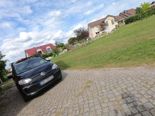
Abbenroder Mühlencafé
Cafe · 6.4 km
Ehemaliges Wohnhaus des Müllers, beherbergt nun ein Café
6 Mühlenweg, Cremlingen
May-Nov Th-Sa 09:00-18:00 || Th-Sa 09:00-23:00 open "bei...

Il mulino - Herrenmühle
Restaurant · Italian
12 Lutterstraße, Königslutter am Elm
Mo off; Tu-Su 12:00-14:30,17:30-22:30
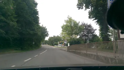
Kärntner Stub'n
Restaurant · Austrian · 1.1 km
23 Fallersleber Straße, Königslutter am Elm
Mo-Su,PH 11:30-14:00,17:45-21:00
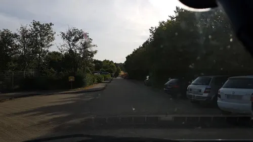
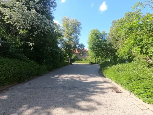
Bergcafé
Cafe · 1.0 km
10A Vor dem Kaiserdom
Mo 07:30-13:30; We-Fr 07:30-16:30; Sa,Su 14:00-17:00; Tu off

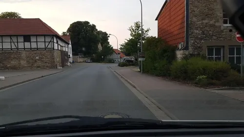
Dalmatia
Restaurant
8 Am Markt, Königslutter am Elm
Mo,Tu,Th 17:00-22:00; Fr,Sa 11:30-14:30,17:00-22:00; Su,PH...
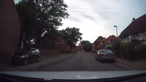


Gaststätte Reitling im Elm
Restaurant · Regional · 6.0 km
Jun-Sep We-Su 11:00-19:30; Apr,May,Oct We-Su 11:00-18:00...
Langner
Cafe · 1.1 km
22c Braunschweiger Straße, Königslutter am Elm
Mo-Sa 06:00-18:00; Su 08:00-18:00; PH off
47 more on the map.
History
A village called Lûtere in the Duchy of Saxony was first mentioned in an 1135 deed, when Emperor Lothair III established a Benedictine monastery here, centered on the Sts Peter and Paul Church, a prominent Romanesque basilica where he and his consort Richenza of Northeim as well as his son-in-law, the Welf duke Henry the Proud are also buried. The place was named after the nearby karst spring of the Lutter (from Middle High German: lauter, "pure") stream in the Elm hills.
A water castle was erected around 1200 and in 1318 the surrounding settlement was documented as a market town. Around 1400 the Dukes of Brunswick granted the citizens of Luttere town privileges. From the late 14th century onwards, the place was called Konnigesluttere, referring to late Emperor Lothair III, King of the Romans.
Located on the trade route from Brunswick to Magdeburg (the present-day Bundesstraße 1), beer brewing and Elm limestone mining and cutting were its main industries in early modern times, while the monastery developed as a pilgrimage destination. Not until 1924, the monastery complex and the adjacent settlement of Oberlutter were incorporated into the town. The monastery church is known for its sculptural art and the tomb of the emperor.
From the History section of Königslutter on Wikipedia, under CC BY-SA 4.0.
Where to stay10
Churches and places of worship34
St. Johannis
Church · Lutheran · 6.0 km
8A Kaiser-Lothar-Straße, Süpplingenburg
Ev. Kirchengemeinde Rottorf
Church · Lutheran · 1.7 km
Sunstedter Straße, Rottorf
Shopping11
Gas and EV charging6
Schools, colleges and libraries12
Bildungszentrum für das Steinmetz- und Bildhauer-Handwerk
School · 1.2 km
15 Dr. Heinrich-Gremmels-Straße, Königslutter am Elm
Healthcare5
Map of Königslutter am Elm
246 places. The map loads OpenStreetMap tiles when you open it.
Getting there and nearby towns
Forschungsflughafen Braunschweig-Wolfsburg (BWE) is the nearest airport with scheduled flights listed in OpenStreetMap, 19 km away.
- Lehre 13 km northwest, about 13 min by car
- Schöningen 16 km southeast, about 16 min by car
- Braunschweig 20 km west, about 20 min by car
- Wolfsburg 19 km north, about 19 min by car
- Wolfenbüttel 21 km southwest, about 21 min by car
- Salzgitter 29 km west, about 29 min by car
- Vechelde 31 km west, about 31 min by car
- Wendeburg 30 km west, about 30 min by car
- Sassenburg 32 km northwest, about 32 min by car
- Lengede 35 km west, about 35 min by car
Drive times are estimates from straight-line distance, not routes.
Local news
Headlines from INDB.
Reviews, tips and questions
Loading what members have shared...
Sources and licences
- GeoNames (CC BY 4.0): population, coordinates, regions and time zone
- Mapillary (see each image): photos
- OpenStreetMap contributors (ODbL 1.0): places, airports, map data
- Wikidata (CC0 1.0): elevation, founding date, time zone, website, landmarks and historic places
- Wikimedia Commons (see each image): photos
- Wikipedia (CC BY-SA 4.0): overview and history text
Photo credits
- DEU Niedersachsen Königslutter am Elm Markt 14 250730 014, ClausNe, CC BY-SA 4.0
- DEU Niedersachsen Königslutter am Elm Markt 12 250730 013, ClausNe, CC BY-SA 4.0
- Marktplatz 13 in Königslutter am Elm, Gerd Fahrenhorst, CC BY 4.0
- Am Markt 14 Königslutter am Elm, Clemensfranz, CC BY-SA 4.0
- Volksbank in Königslutter am Elm, Gerd Fahrenhorst, CC BY 4.0
- Am Markt 12 Königslutter am Elm, Clemensfranz, CC BY-SA 4.0
- Am Markt 4 Königslutter am Elm, Clemensfranz, CC BY-SA 4.0
- Am Markt 5 Königslutter am Elm, Clemensfranz, CC BY-SA 4.0
- Am Markt 1 Königslutter am Elm, Clemensfranz, CC BY-SA 4.0
- Am Markt 2 Königslutter am Elm, Clemensfranz, CC BY-SA 4.0
- Am Markt 3 Königslutter am Elm, Clemensfranz, CC BY-SA 4.0
- Marktplatz Königslutter am Elm, Gerd Fahrenhorst, CC BY 4.0
- Am Markt 15 Königslutter am Elm, Clemensfranz, CC BY-SA 4.0
- Am Markt 13 Königslutter am Elm, Clemensfranz, CC BY-SA 4.0
- Am Markt 17 Königslutter am Elm, Clemensfranz, CC BY-SA 4.0
- Am Markt184 Königslutter am Elm, Clemensfranz, CC BY-SA 4.0
- Königslutter am Elm, Am Markt, Dguendel, CC BY 4.0
- Königslutter am Elm, das Rathaus und Turm der Stadtkirche, Dguendel, CC BY 4.0
- Königslutter am Elm, das Rathaus-2, Dguendel, CC BY 4.0
- Königslutter am Elm, das Rathaus, Dguendel, CC BY 4.0
- Am Markt 21 Königslutter am Elm, Clemensfranz, CC BY-SA 4.0
- Bahnhofstraße 1, Königslutter am Elm, Clemensfranz, CC BY-SA 4.0
- Königslutter am Elm, die Ducksteingasse, Dguendel, CC BY 4.0
- DEU Niedersachsen Königslutter am Elm 250730 020, ClausNe, CC BY-SA 4.0
- DEU Niedersachsen Königslutter am Elm 250730 018, ClausNe, CC BY-SA 4.0
- DEU Niedersachsen Königslutter am Elm 250730 017, ClausNe, CC BY-SA 4.0
- DEU Niedersachsen Königslutter am Elm 250730 019, ClausNe, CC BY-SA 4.0
- Marktstraße 2 Königslutter am Elm, Clemensfranz, CC BY-SA 4.0
- Marktstraße 1 Königslutter am Elm, Clemensfranz, CC BY-SA 4.0
- An der Stadtkirche 1, Königslutter am Elm, Clemensfranz, CC BY-SA 4.0
- Tierpark Essehehof Eingang, J.Brodhagen, CC BY-SA 3.0
- Kaiserdom Königslutter, No machine-readable author provided. ArtMechanic assumed (based on copyright claims)., CC BY-SA 3.0
- KalksteinbruchHemkenrode1, Diegofaber1980, CC BY-SA 3.0
- 220515 1204 Lutterlandbruch, M.J., CC BY-SA 4.0
- Niedersachsen LandkreisHelmstedt BR057 NSGRiesebergII, Emberiza citriniella, CC BY-SA 3.0
- Rieseberg Moor, AxelHH, Public domain
- Cremlingen Transmitter main masts, Zonk43, Public domain
- Kirche St. Mariä in Königslutter am Elm, Gerd Fahrenhorst, CC BY 4.0
- AWO Psychiatriezentrum Kinderklinik, Vanellus, CC BY-SA 3.0
- Süpplingenburg Merian, Unknown author Unknown author, Public domain
- Reitling Teich, Axel Hindemith, Public domain
- 20190518 Destedt Oberburg NordWest DSC08252 PtrQs, PtrQs, CC BY-SA 4.0
- Teich-Rittergutspark-Destadt, Roll-Stone, CC BY-SA 4.0
- Urnengräberfeld Ole Hai Waldgebiet, Axel Hindemith, CC BY-SA 3.0
- Schandelah Kirche (02), Reise Reise, CC BY-SA 4.0
- BurgLangeleben, Okernick, CC BY-SA 3.0
- Suepplingen St Lambertus, Times, CC BY-SA 3.0
- St.-Johannis-Kirche (Süpplingenburg)2, Chris06, CC BY-SA 3.0
- Schandelah Sportheim (02), Reise Reise, CC BY-SA 4.0
- Boimstorf Kirche, Kirchenfan, CC0
- 2010-hemkenrode-church, Elmschrat, CC BY-SA 3.0
- 20221016 Lauingen Kirche DSC07184 PtrQs, PtrQs, CC BY-SA 4.0
- Rottorf Kirche 2, Kirchenfan, CC0
- Kirche Sunstedt, Jonah Brüchert, Public domain
- 20210403 Abbenrode Kirche PeterUndPaul Nordansicht DSC06096 PtrQs, PtrQs, CC BY-SA 4.0
- Abbenrode Bockwindmuehle, Radler59 ( talk ), CC BY-SA 4.0
- Bornum Schaeferstein, Radler59, CC BY-SA 3.0
- Königslutter Kirche kath, Kirchenfan, CC0
- Elm Drachenberg 202208, Okernick, CC BY-SA 4.0
- Gedenkstein mit Gedenktafel, Psmr, CC BY-SA 4.0
- ElmEilumerHornGipfelkeuz, Utausb, CC BY-SA 3.0
- Koenigslutter Steinkreuz, Radler59, CC BY-SA 3.0
- Frellstedt Steinkreuze, Radler59, CC BY-SA 3.0
- Street-level photo, Langfahrer, CC BY-SA 4.0
- Street-level photo, live, CC BY-SA 4.0
- Street-level photo, u14183, CC BY-SA 4.0
- Street-level photo, Langfahrer, CC BY-SA 4.0
- Street-level photo, Langfahrer, CC BY-SA 4.0
- Street-level photo, u14183, CC BY-SA 4.0
- Street-level photo, u14183, CC BY-SA 4.0
- Street-level photo, Langfahrer, CC BY-SA 4.0
- Street-level photo, Schmarvis, CC BY-SA 4.0
- Street-level photo, tian, CC BY-SA 4.0
- Street-level photo, tian, CC BY-SA 4.0
- Street-level photo, tian, CC BY-SA 4.0
- Street-level photo, u14183, CC BY-SA 4.0
- Street-level photo, u14183, CC BY-SA 4.0
- Street-level photo, moenk, CC BY-SA 4.0
- Street-level photo, live, CC BY-SA 4.0
- Street-level photo, u14183, CC BY-SA 4.0
- Street-level photo, tian, CC BY-SA 4.0
- Street-level photo, u14183, CC BY-SA 4.0
- Street-level photo, u14183, CC BY-SA 4.0
- Street-level photo, Langfahrer, CC BY-SA 4.0
- Street-level photo, moenk, CC BY-SA 4.0
- Street-level photo, thetornado76, CC BY-SA 4.0


Page built November 8, 2026. Spotted a mistake? Tell us or suggest a place.