


Rosbach vor der Höhe, Germany
Rosbach vor der Höhe is a town of 11,741 people in Hesse, Germany, founded in 1970.
Why visit Rosbach vor der Höhe
Townapedia lists 33 museums and landmarks, 39 parks and trails, 96 places to eat, 15 places to stay and 23 attractions in and around town.
Highlights include es'Hexenhäusi, Filmtheater Friedrichsdorf-Köppern, Römerkastell Kapersburg and Schnepfenburg.
Weather in Rosbach vor der Höhe
Forecast from MET Norway (CC BY 4.0). Full forecast
About Rosbach vor der Höhe
Rosbach vor der Höhe (German pronunciation: [ˈʁoːsbax foːɐ̯ deːɐ̯ ˈhøːə] , lit. 'Rosbach before the Height') is a town in the Wetteraukreis district of Hesse, Germany. It is located 25 km north of Frankfurt, on the eastern edge of the Taunus mountain range. The town has a population of approximately 12,000.
From the Wikipedia article Rosbach vor der Höhe (this version), under CC BY-SA 4.0.
Things to do23

es'Hexenhäusi
Farm and orchard · 4.5 km
24 Junkergasse, Rosbach v. d. Höhe
Mo,Fr 08:30-12:30,14:30-18:00; We,Sa 08:30-12:30; Tu,Th off

Mörlerhof
Farm and orchard · 2.8 km
Verkauf von u.A. Obst, Gemüse, Kartoffeln, Wurst, Marmelade, Honig, Kuchen, Saft
1 Am Kessel, Friedberg (Hessen)
Mo-Fr 09:30-12:00,14:00-18:00; We off; Sa 09:30-16:00; Su 10:00-18:00


Obsthof Gröninger
Farm and orchard · 3.8 km
Mo-Fr 08:30-18:30; Sa 08:30-16:00

11 more on the map.
Museums and landmarks33


Römerturm am Gaulskopf
Monument and historic site · 5.2 km
Nachgebaut (1926 eingeweiht)




25 Jahre Verschwisterung
Monument and historic site · 5.6 km
25 Jahre Verschwisterung: Friedberg - Villiers sur-Marne
21 more on the map.
Parks, trails and playgrounds39





27 more on the map.
Restaurants and cafes96
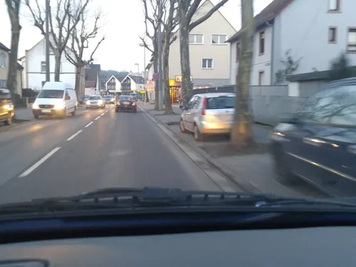
Da Gabriel
Restaurant · Pizza, Italian · 4.3 km
"Große, gemütliche Sommerterasse, Pizza aus dem Holzofen"
55 Köpperner Straße, Friedrichsdorf
Tu-Sa 11:30-15:00,18:00-23:00; Su 12:00-22:00; Mo off
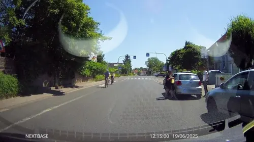
Schnitzelhaus "Stadt Rosbach"
Restaurant · German · 0.8 km
23 Rodheimer Straße, Rosbach v. d. Höhe
11:00-14:15,17:00-23:00; Sa,Su,PH 11:00-23:00
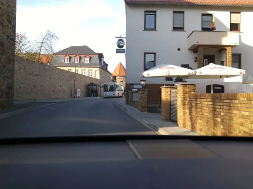
Zum Gerippte
Restaurant · Buschenschank · 3.8 km
Erste Ockstädter Straußwirtschaft. Selbstgemachter Apfelwein, hauseigene Obstbrände.
30 Borngasse, Friedberg (Hessen)
May-Oct: Fr,Sa,Su 17:00+

'es Hexestübsche Straußwirtschaft
Restaurant · Buschenschank · 4.5 km
24a Junkergasse, Rosbach v. d. Höhe
May-Jun Fr 17:00-22:00; May-Jun Sa,Su,PH 11:00-22:00;Sep Fr...
BEEF’n BEER
Restaurant · Steak House, Burger · 5.2 km
2 Frankfurter Straße, Friedberg (Hessen)
Mo 12:00-23:00; Tu off; We-Fr 12:00-23:00; Sa 17:00-23:00; Su 10:00-22:00
Bayerisches Wirtshaus
Restaurant · Bavarian
2 Bei den Junkergärten, Rosbach v. d. Höhe
Tu-Sa 11:00-15:00,18:00-23:00; Su 11:00-15:00,18:00-22:00; Mo off
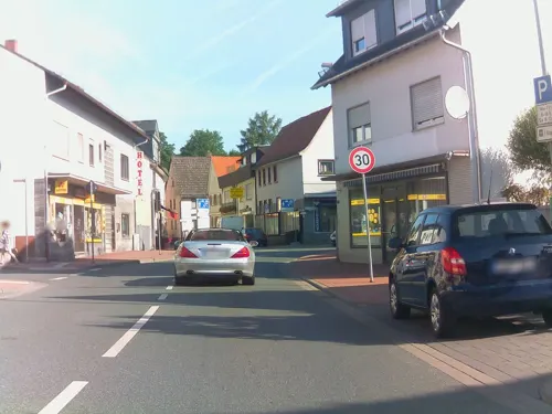
Dionysos
Restaurant · Greek · 4.2 km
71 Köpperner Straße, Friedrichsdorf
Tu-Sa 18:00-24:00; Su,PH 12:00-14:30,18:00-24:00
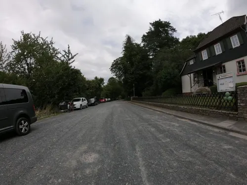
Forsthaus Winterstein
Restaurant · 4.5 km
Öffnungszeiten sind unverbindlich weil witterungsabhängig.
Wintersteinstraße, Ober-Mörlen
Fr,Sa 14:30-19:00; Su 11:30-19:00
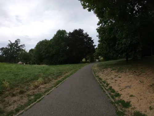
Kaktus
Cafe · Sandwich · 5.8 km
16 Hospitalgasse, Friedberg (Hessen)
Mo-Th 18:00-01:00; Fr-Sa 18:00-02:00
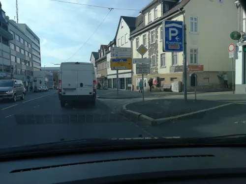
La Sera
Restaurant · Italian · 5.7 km
137 Kaiserstraße, Friedberg (Hessen)
Mo-Su 11:30-14:30,17:00-23:00
Müllers
Restaurant · Regional · 4.1 km
12-14 Grabengasse, Rosbach v. d. Höhe
Tu-Sa 17:00-24:00; Su 11:00-14:00,17:00-22:00; Mo off
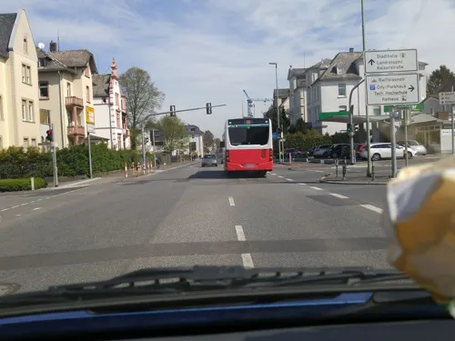


Prego's Pizza
Restaurant · Pizza · 5.3 km
40 Mainzer-Tor-Anlage, Friedberg (Hessen)
Sa-Th 11:00-14:00, 17:00-22:00; Fr 17:00-22:00
84 more on the map.
History
Archaeological finds in the area date back to the Linear Pottery culture and the Celtic period. The earliest surviving mention of "Rosbach" dates from 884; the originally independent district of Rodheim was documented as early as 805 in the Lorsch codex.
The origin of the name Rosbach is not entirely settled. The town was named after the nearby stream (German: Bach) of the same name. The most accepted explanation derives it from the Middle High German roezen or rozen (German: rösten; to ret). The most common craft in Rosbach was the weaving of linen, and retting describes the process of separating fibre from stem during linen production.
In 884, Ober-Rosbach was granted to Fulda Abbey as an imperial gift by Emperor Charles the Fat. The settlement later passed to the Landgraviate of Hesse-Darmstadt, the County of Nassau, and the Electorate and Archbishopric of Trier. In 1663, Rosbach received town privileges. The district of Rodheim was the seat of the Amt Rodheim from about 1600 to 1821.
From the History section of Rosbach vor der Höhe on Wikipedia, under CC BY-SA 4.0.
Where to stay15
Churches and places of worship24
Evangelische Kirche Burgholzhausen
Church · Protestant · 5.4 km
22 Alt Burgholzhausen, Friedrichsdorf
Evangelische Stadtkirchengemeinde Rosbach
Church · Protestant
3 Kirchstraße, Rosbach v. d. Höhe
Burgkirche Nieder-Rosbach
Church · Protestant · 1.3 km
10 Haingraben, Rosbach v. d. Höhe
Evangelische Kirche
Church · Protestant · 4.3 km
16 Hauptstraße, Rosbach v. d. Höhe
Evangelische Stadtmission Friedberg
Church · Protestant · 4.0 km
9 Straßheimer Straße, Friedberg (Hessen)
St. Stephanus
Church · Roman Catholic · 4.4 km
2 Kirchgasse, Wöllstadt
Shopping28
Gas and EV charging15
SUBARU Allrad-Auto Kartentankstelle
Gas station · 4.9 km
6 Emil-Frey-Straße, Friedberg (Hessen)
Schools, colleges and libraries29
Technische Hochschule Mittelhessen (THM)
School · 5.7 km
13 Wilhelm-Leuschner-Straße, Friedberg (Hessen)
Johann-Peter-Schäfer-Schule für Blinde und Sehbehinderte
School · 5.5 km
1 Johann-Peter-Schäfer-Straße, Friedberg (Hessen)
Healthcare15
Apotheke am Bahnhof
Clinic and pharmacy · 5.9 km
52 Saarstraße, Friedberg (Hessen)
Klinik für Psychiatrie & Psychotherapie
Hospital · 5.1 km
3 Johann-Peter-Schäfer-Straße, Friedberg (Hessen)
Limes Apotheke
Clinic and pharmacy
17 Nieder-Rosbacher-Straße, Rosbach v. d. Höhe
Map of Rosbach vor der Höhe
250 places. The map loads OpenStreetMap tiles when you open it.
Getting there and nearby towns
Frankfurt Airport (FRA) is the nearest airport with scheduled flights listed in OpenStreetMap, 33 km away.
- Usingen 11 km west, about 11 min by car
- Steinbach am Taunus 17 km southwest, about 17 min by car
- Frankfurt am Main 21 km south, about 21 min by car
- Schwalbach am Taunus 20 km southwest, about 20 min by car
- Offenbach 23 km south, about 23 min by car
- Weilburg 36 km northwest, about 36 min by car
- Schotten 38 km northeast, about 38 min by car
- Wiesbaden 40 km southwest, about 40 min by car
- Mainz 46 km southwest, about 46 min by car
- Darmstadt 48 km south, about 48 min by car
Drive times are estimates from straight-line distance, not routes.
Local news
Headlines from INDB.
Reviews, tips and questions
Loading what members have shared...
Sources and licences
- GeoNames (CC BY 4.0): population, coordinates, regions and time zone
- Mapillary (see each image): photos
- OpenStreetMap contributors (ODbL 1.0): places, airports, map data
- Wikidata (CC0 1.0): elevation, founding date, time zone, website, landmarks and historic places
- Wikimedia Commons (see each image): photos
- Wikipedia (CC BY-SA 4.0): overview and history text
Photo credits
- Rosbach Panorama, MdE, CC BY-SA 3.0 de
- Rosbach vor der Höhe (0001), Gerold Rosenberg ( talk ) 19:17, 29 March 2017 (UTC), CC BY-SA 3.0
- Bushaltestelle Die Sang, 1, Ober-Rosbach, Rosbach vor der Höhe, Wetteraukreis, GeorgDerReisende, CC BY-SA 4.0
- Bushaltestelle Die Sang, 2, Ober-Rosbach, Rosbach vor der Höhe, Wetteraukreis, GeorgDerReisende, CC BY-SA 4.0
- Bushaltestelle Die Sang, 3, Ober-Rosbach, Rosbach vor der Höhe, Wetteraukreis, GeorgDerReisende, CC BY-SA 4.0
- Jahnstraße, 1, Ober-Rosbach, Rosbach vor der Höhe, Wetteraukreis, GeorgDerReisende, CC BY-SA 4.0
- Die Sang, 1, Ober-Rosbach, Rosbach vor der Höhe, Wetteraukreis, GeorgDerReisende, CC BY-SA 4.0
- Am Fahrenbach 4, 1, Ober-Rosbach, Rosbach vor der Höhe, Wetteraukreis, GeorgDerReisende, CC BY-SA 4.0
- Frankfurt Tempel mit Turm 2005 08 26, Donny Wöllauer, CC BY-SA 3.0
- Philipp-Reis-Schule Friedrichsdorf Neubau Eingang, MdE, CC BY-SA 3.0 de
- Rodheim evangelische Kirche, Karsten Ratzke, CC0
- Gaulskopf, Römerturm, Karsten11, CC0
- Ockstädter Kleinkastell 2021-04-02 03, Leonhard Lenz, CC0
- Kapersburg Taunus 2021-04-02 05, Leonhard Lenz, CC0
- Schnepfenburg066, Frank Winkelmann, CC BY 3.0
- Steinkopf (Taunus), Jörg Braukmann, CC BY-SA 3.0
- Johann-Phillip-Reis-Schule Friedberg, Illogical2007, CC BY-SA 3.0
- Heilig-Geist-Kirche (Friedberg) 01, Hydro, CC BY-SA 4.0
- Jüdischer Friedhof Ockstädter Straße Süd (Friedberg) 02, Cherubino, CC BY-SA 4.0
- Alteberg02, Klaus Stahlke, CC BY-SA 4.0
- NSG Quarzitbruch bei Rosbach unterer Eingang, MdE, CC BY-SA 3.0 de
- St. Jakobus Kirche, Cb 01.24, CC BY-SA 4.0
- St. Georgskapelle (Friedberg) Außen 01, Cherubino, CC BY-SA 4.0
- St. Stephanus Kirche in Ober-Wöllstadt, Thomas Kroemer, CC BY-SA 4.0
- Steinern Kreuz (Friedberg) 18, Cherubino, CC BY-SA 4.0
- Syer ORo Prospekt, Maby oro, CC BY-SA 3.0
- Ober-Wöllstadt, Kapelle (1), Karsten11, CC0
- Kapersburg Tor, Volker Thies ( Asdrubal ), CC BY-SA 3.0
- Schnepfenburg Frdf Winter von Osten, MdE, CC BY-SA 3.0 de
- St. Stefanus Kirche Ober-Wöllstadt, Stefanus-Wöllstadt, CC BY-SA 4.0
- St. Michael Rosbach, Hawiech, CC BY-SA 4.0
- ND "Luthereiche" Ober-Rosbach 440.298 P1280468, Ballapete, CC0
- Camponotus nicobarensis, Aturdent314, CC BY-SA 4.0
- ND "Luthereiche" Ober-Rosbach 440.298 P1280449, Ballapete, CC0
- Schild "Die Weinstraße" P1280437, Ballapete, CC0
- ND "Luthereiche" Ober-Rosbach 440.298 P1280453, Ballapete, CC0
- Fahrenbach, Freak-Line-Community, CC BY-SA 4.0
- Kapersburgschule Rosbach, Dr. Hans Wiechers, CC BY-SA 4.0
- ND Ober-Rosbach 440.237 P1280433, Ballapete, CC0
- ND Ober-Rosbach 440.237 P1280417, Ballapete, CC0
- Street-level photo, scg1176, CC BY-SA 4.0
- Street-level photo, scg1176, CC BY-SA 4.0
- Street-level photo, derlipper, CC BY-SA 4.0
- Street-level photo, scg1176, CC BY-SA 4.0
- Street-level photo, derlipper, CC BY-SA 4.0
- Street-level photo, ramap, CC BY-SA 4.0
- Street-level photo, scg1176, CC BY-SA 4.0
- Street-level photo, tmka, CC BY-SA 4.0
- Street-level photo, scg1176, CC BY-SA 4.0
- Street-level photo, scg1176, CC BY-SA 4.0
- Street-level photo, tmka, CC BY-SA 4.0
- Street-level photo, lllooommm, CC BY-SA 4.0
- Street-level photo, wegavision, CC BY-SA 4.0
- Street-level photo, derlipper, CC BY-SA 4.0
- Street-level photo, chuck, CC BY-SA 4.0
- Street-level photo, wegavision, CC BY-SA 4.0
- Street-level photo, wegavision, CC BY-SA 4.0
- Street-level photo, ramap, CC BY-SA 4.0
- Street-level photo, scg1176, CC BY-SA 4.0
- Street-level photo, scg1176, CC BY-SA 4.0
- Street-level photo, troher15, CC BY-SA 4.0
- Street-level photo, scg1176, CC BY-SA 4.0


Page built November 8, 2026. Spotted a mistake? Tell us or suggest a place.