


Why visit Usingen
Townapedia lists 29 museums and landmarks, 23 parks and trails, 96 places to eat, 13 places to stay and 22 attractions in and around town.
Highlights include Kino Neu-Anspach, Talhof Usingen, Hessenpark and Saalburg Roman Fort.
Weather in Usingen
Forecast from MET Norway (CC BY 4.0). Full forecast
About Usingen
Usingen (German pronunciation: [ˈuːzɪŋən] ) is a small town in the Hochtaunuskreis in Hessen, Germany. Until 1972, this residential and school town was the seat of the former district of Usingen.
From the Wikipedia article Usingen (this version), under CC BY-SA 4.0.
Things to do22




10 more on the map.
Museums and landmarks29


Saalburg Roman Fort
Monument and historic site · 7.4 km
Cohort castrum, part of the Limes Germanicus, and is the most completely reconstructed Roman fort in Germany

Altes Rathaus
Monument and historic site · 5.4 km
3 Langgasse, Usingen




Heinrichshoffnung II
Monument and historic site · 6.3 km
Blei, Kupferkies
17 more on the map.
Parks, trails and playgrounds23




Freibad Maibach
Sports field and stadium · 5.5 km
"Saisonabhängig (im Sommer geöffnet)"


Waldschwimmbad Neu-Anspach
Sports field and stadium · 6.4 km
May-Jun: Mo-Fr 07:00-19:00; May-Jun: Sa,Su,PH 08:00-19:00;Jul-Aug:...
11 more on the map.
Restaurants and cafes96
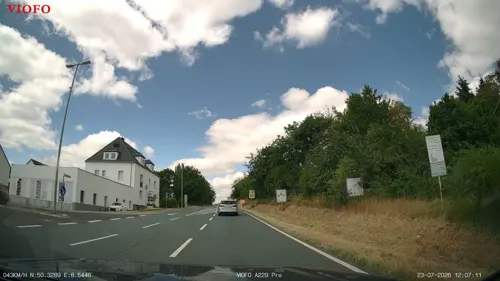
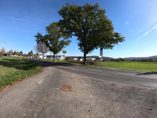
Privatbrauerei Löwenherz
Restaurant · Bavarian · 4.9 km
15 Am Erlenbach, Wehrheim
We-Fr 17:00-23:30; Sa,Su 11:30-23:30

Schloß-Cafe Keth
Cafe · Cake, Ice Cream
Bäckerei öffnet 07:30 bzw. 8:00
2 Obergasse, Usingen
Mo off; Tu-Fr 08:30-18:00; Sa 10:00-18:00; Su 09:30-18:00

Zum Feldbergblick
Restaurant · German · 6.4 km
Restaurant-Cafe-Pension "Zum Feldbergblick"
2 Panoramaweg, Schmitten im Taunus
Th 17:00+; Tu,We,Fr,Sa,Su 10:00+; Mo off
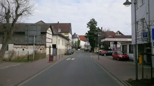
Café Klatsch
Cafe · Ice Cream · 4.2 km
4 Bahnhofstraße, Wehrheim
Mo-Fr 07:00-23:30; Sa 08:00-23:30; Su 08:00-21:00
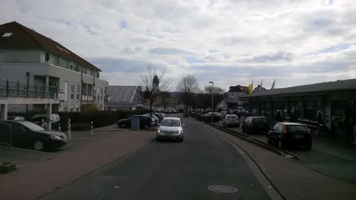
China Thai Restaurant Rong Town
Restaurant · Chinese, Thai · 0.7 km
24 Am Riedborn, Usingen
Mo-Su 11:00-15:30,17:00-22:30
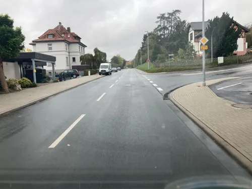
Gasthaus "Zur Schönen Aussicht"
Restaurant · Regional · 0.6 km
20 Neutorstraße, Usingen
11:30-14:00,17:30-24:00; Mo,Sa off
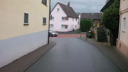
Gasthof Zum Engel
Restaurant · German · 6.2 km
15 Saalburgstraße, Wehrheim
Mo,Tu,Th-Sa 17:00-24:00; Su,PH 11:00-24:00; We off
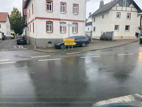
Landgasthof Eschbacher Katz
Restaurant · Regional · 2.4 km
2 Michelbacher Straße, Usingen
Tu-Sa 17:00-17:00+; Su 11:30-11:30+; Mo off
Löwenherz
Restaurant · Bavarian · 4.4 km
11 Bahnhofstraße, Wehrheim
Tu-Sa 17:00-17:30+; Su 11:00+; Mo off

Maibacher Brauerei KG
Brewery and winery · 5.4 km
Handwerkliche Hausbrauei
48 Alt-Maibach, Butzbach
Th 16:30-19:30; Sa 11:00-14:00
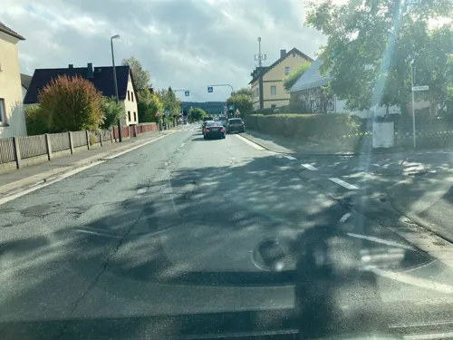


Olymp
Restaurant · Greek · 4.8 km
43 Bahnhofstraße, Wehrheim
Mo off; Tu-Fr 12:00-14:30,17:30-23:00; Sa 17:00-23:00; Su 12:00-22:00
84 more on the map.
History
Usingen (Latin Osinga), which in Frankish times likely existed as a fortified stopping place at an old crossroads, was first mentioned in the Codex Eberhardi, a manuscript from the Fulda monastery, and it is generally accepted that references made to the town go back to between 754 and 802. Archaeological proof of a settlement on the modern town's site back in Carolingian times has yet to be unearthed, although, not far from town, the remains of a Carolingian courtyard were once dug up. The possibility therefore exists that today's Usingen might not lie on the same spot as it once did, having relocated at some time in the past. More investigation will be needed before this is ascertained.
In 1207, being on the outskirts of the Usinger Land, it passed into the ownership of the Counts of Diez, who had acquired this Imperial estate in exchange for Mainz-Kastell (fort).
A Nassau castle – in 1326, the Counts of Nassau had acquired the Usinger Land by pledge, and by 1405 for good – on the site of today's Christian-Wirth-Schule (school) and a wall with five towers protected this small weaving town in the Middle Ages.
It is likely that Usingen was granted town rights in the 14th century.
As of 1659, the Counts resided in the castle, now converted into a stately home with a lovely garden, and from 1688 to 1744 the Princes of Nassau-Usingen lived there.
From the History section of Usingen on Wikipedia, under CC BY-SA 4.0.
Where to stay13
Churches and places of worship20
Evangelische Kirche Wehrheim
Church · Protestant · 4.3 km
10 Hauptstraße, Wehrheim
Shopping27
Gas and EV charging10
Schools, colleges and libraries13
Healthcare10
Kleeblatt Apotheke
Clinic and pharmacy · 3.5 km
11 Rudolf-Diesel-Straße, Neu-Anspach
Map of Usingen
250 places. The map loads OpenStreetMap tiles when you open it.
Getting there and nearby towns
Frankfurt Airport (FRA) is the nearest airport with scheduled flights listed in OpenStreetMap, 35 km away.
- Weilburg 26 km northwest, about 26 min by car
- Frankfurt am Main 27 km southeast, about 27 min by car
- Offenbach 31 km southeast, about 31 min by car
- Wiesbaden 35 km southwest, about 35 min by car
- Mainz 43 km southwest, about 43 min by car
- Darmstadt 52 km south, about 52 min by car
- Wächtersbach 55 km east, about 55 min by car
- Koblenz 68 km west, about 1 h 15 min by car
- Siegen 70 km northwest, about 1 h 15 min by car
- Weinheim 88 km south, about 1 h 30 min by car
Drive times are estimates from straight-line distance, not routes.
Local news
Headlines from INDB.
Reviews, tips and questions
Loading what members have shared...
Sources and licences
- GeoNames (CC BY 4.0): population, coordinates, regions and time zone
- Mapillary (see each image): photos
- OpenStreetMap contributors (ODbL 1.0): places, airports, map data
- Wikidata (CC0 1.0): elevation, founding date, time zone, website, landmarks and historic places
- Wikimedia Commons (see each image): photos
- Wikipedia (CC BY-SA 4.0): overview and history text
Photo credits
- Usingen Rathaus, Volker Thies ( Asdrubal ), CC BY-SA 3.0
- Usingen, St. Laurentius, Schiff (1), Karsten11, CC0
- Usingen, Haus Wilhemjstraße 3 (Detail), Dguendel, CC BY 4.0
- Usingen, Haus Wilhemjstraße 3, Dguendel, CC BY 4.0
- Usingen, Haus Wilhemjstraße 2, Dguendel, CC BY 4.0
- Usingen, das Schloss (heutige Christian Wirth-Schule), Dguendel, CC BY 4.0
- Usingen, die Kirchgasse, Dguendel, CC BY 4.0
- Usingen, der Marktbrunnen, Haus Obergasse 1, Dguendel, CC BY 4.0
- Usingen, das Rathaus, Dguendel, CC BY 4.0
- Usingen, die Laurentiuskirche, Dguendel, CC BY 4.0
- Usingen, Haus Pfarrgasse 5, Dguendel, CC BY 4.0
- Usingen, Häuserzeile in der Untergasse, Dguendel, CC BY 4.0
- Usingen, Laurentiuskirche, Gedächtnistafel WK I, Karsten Ratzke, CC0
- Usingen, Haus Pfarrgasse 7, Dguendel, CC BY 4.0
- Usingen, Laurentiuskirche, Fürstengruft, Totale, Karsten Ratzke, CC0
- Usingen, Laurentiuskirche, Gedächtnistafel Waterloo, Karsten Ratzke, CC0
- Usingen, Laurentiuskirche, Fürstengruft, Sarg Friedrich August (1), Karsten Ratzke, CC0
- Usingen, Laurentiuskirche, Fürstengruft (1), Karsten Ratzke, CC0
- Usingen, Laurentiuskirche, Fürstengruft, Verzeichnis der Toten, Karsten Ratzke, CC0
- Usingen, Laurentiuskirche, Fürstengruft (2), Karsten Ratzke, CC0
- Usingen, Laurentiuskirche, Gedächtnistafel Deutsch-Französischer Krieg, Karsten Ratzke, CC0
- Usingen, Laurentiuskirche, Kanzel, Karsten11, CC0
- Usingen, Laurentiuskirche, Orgel, Karsten11, CC0
- Usingen, Laurentiuskirche, Fürstengruft, Sarg Friedrich August, Karsten Ratzke, CC0
- Usingen, Laurentiuskirche, Fürstengruft, Eingang, Karsten Ratzke, CC0
- Usingen, Laurentiuskirche, Fürstengruft (5), Karsten Ratzke, CC0
- Usingen, Laurentiuskirche, Innen (1), Karsten11, CC0
- Usingen, Laurentiuskirche, Innen, Karsten11, CC0
- Usingen, St. Laurentius, Tür zum Turm, Detail, Karsten11, CC0
- Usingen, St. Laurentius, Tür zum Turm, Karsten11, CC0
- Usingen, the Kirchgasse, Dguendel, CC BY 4.0
- Usingen, Laurentiusmarkt, Karsten Ratzke, CC0
- Usingen, St. Laurentius, Blick vom Turm (9), Karsten11, CC0
- Usingen, Laurentiuskirche, Glocke Ich rufe die Gläubigen unter das Wort, Karsten Ratzke, CC0
- Usingen, St. Laurentius, Blick vom Turm (8), Karsten11, CC0
- Usingen, Laurentiuskirche, Glocke Ich gebe zur Heimkehr das letzte Geleit (1), Karsten Ratzke, CC0
- Usingen, Laurentiuskirche, Glocke Ich wecke zu Tagwerk und liebendem Dienst, Karsten Ratzke, CC0
- Usingen, St. Laurentius, Außenwand, Grabstein 8, Karsten11, CC0
- Usingen, St. Laurentius, Außenwand, Grabstein 7, Karsten11, CC0
- Usingen, Laurentiuskirche, Kirchturm, Grundstein aus 1490, Karsten11, CC0
- Hessenpark-weinberg+rhein-main-001, Dontworry, CC BY-SA 3.0
- Saalburg Main Gate (Porta Praetoria), en:User:Ekem, Public domain
- Wehrheim Obernhain, MdE, CC BY-SA 3.0
- Baitul-Huda-Moschee Usingen, Karsten Ratzke, Public domain
- Obernhain, Drusenknüppel, Karsten11, Public domain
- Usingen Laurentiuskirche, Volker Thies ( Asdrubal ), CC BY-SA 3.0
- Schloss Kransberg Totale, Back2hell, CC BY-SA 3.0
- Kransberg, Kapelle am Holzberg, Karsten11, Public domain
- Kreuzkapelle-Kransberg-2011-001, Kreuzkapelle_Kransberg.JPG : Frank Winkelmann derivative work: Dontworry, CC BY 3.0
- Usingen CWS Neubau, Karsten11, Public domain
- Detzelbach vegane Walfischbucht, Ballapete, CC BY-SA 4.0
- Kransberg, Kapelle am Holzberg, Vorderseite, Karsten11, Public domain
- 2009 0727Röllbach0019, Anarabert, CC BY 3.0
- 20190420 131312 Kirche aus Ederbringhausen (Hessenpark) anagoria, Anagoria, CC BY 3.0
- Wehrheim katholische Kirche, Karsten11, Public domain
- Wernborn Kirchstraße 1 Kirche, Osingar, CC BY-SA 4.0
- Wehrheim WoMo stellplatz, Elgaard, CC BY-SA 4.0
- Kransberg Pfarrkirche, Osingar, CC BY-SA 4.0
- Usingen Schloss, Volker Thies ( Asdrubal ), CC BY-SA 3.0
- Altes Rathaus Merzhausen (Usingen), Karsten11 at German Wikipedia, CC BY-SA 3.0
- Street-level photo, Jeykey90, CC BY-SA 4.0
- Street-level photo, tmka, CC BY-SA 4.0
- Street-level photo, pl474, CC BY-SA 4.0
- Street-level photo, sdos77, CC BY-SA 4.0
- Street-level photo, pl474, CC BY-SA 4.0
- Street-level photo, sdos77, CC BY-SA 4.0
- Street-level photo, sdos77, CC BY-SA 4.0
- Street-level photo, pl474, CC BY-SA 4.0
- Street-level photo, sdos77, CC BY-SA 4.0
- Street-level photo, mapcreator, CC BY-SA 4.0
- Street-level photo, tmka, CC BY-SA 4.0
- Street-level photo, sdos77, CC BY-SA 4.0
- Street-level photo, sdos77, CC BY-SA 4.0
- Street-level photo, pl474, CC BY-SA 4.0
- Street-level photo, sdos77, CC BY-SA 4.0
- Street-level photo, kreuzschnabel, CC BY-SA 4.0
- Street-level photo, sdos77, CC BY-SA 4.0
- Street-level photo, pkk593, CC BY-SA 4.0
- Street-level photo, mapcreator, CC BY-SA 4.0
- Street-level photo, mapcreator, CC BY-SA 4.0


Page built November 8, 2026. Spotted a mistake? Tell us or suggest a place.