


Why visit Kraichtal
Townapedia lists 57 museums and landmarks, 47 parks and trails, 87 places to eat, 6 places to stay and 23 attractions in and around town.
Highlights include Hofladen Dörrmann, Hofladen Keller, Stifterhof Odenheim and Gochsheim Castle.
Weather in Kraichtal
Forecast from MET Norway (CC BY 4.0). Full forecast
About Kraichtal
Kraichtal (German pronunciation: [ˈkʁaɪçtaːl] , lit. 'Kraich Valley') is a town in the north-eastern part of the Karlsruhe district in Baden-Württemberg, Germany. It was founded in 1971 by a merger of nine smaller municipalities.
From the Wikipedia article Kraichtal (this version), under CC BY-SA 4.0.
Things to do23

Hofladen Dörrmann
Farm and orchard · 2.6 km
10 Ulmenstraße, Kraichtal
Mo 08:00-12:00; Tu,Th 15:00-18:00; Fr 08:00-12:00,15:00-18:00; Sa...
Hofladen Keller
Farm and orchard · 0.7 km
8 Weierbachsiedlung, Kraichtal
Mo-Sa 09:00-12:00,16:00-18:00; PH off

Hofladen Häberle
Farm and orchard · 0.7 km
7 Weierbach-Siedlung, Kraichtal
Mo-Fr 09:00-12:00,13:00-19:00; Sa 09:00-13:00; PH off

Iris' Hoflädle
Farm and orchard · 6.4 km
Milch, Milchprodukte, Eier, Wurst
1 Haarbruch, Oberderdingen

11 more on the map.
Museums and landmarks57


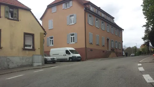
Schwanenburg
Monument and historic site · 3.0 km
Klassizistisches Schloss. Offensichtlich bewohnt vom Freiherr von Menzingen.
52 Heilbronner Straße, Kraichtal
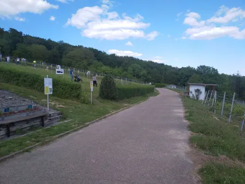



Firstständerhaus
Monument and historic site · 5.5 km
29 Unterdorfstraße, Ubstadt-Weiher
45 more on the map.
Parks, trails and playgrounds47





NaturErlebnisBad Flehingen
Sports field and stadium · 6.5 km
Gochsheimer Straße, Oberderdingen
Jun 01-Aug 31 Mo-Su 10:00-20:00 "Je nach Witterung schon früher im...


35 more on the map.
Restaurants and cafes87
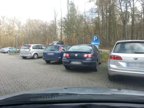
Kreuzberghof
Restaurant · German · 6.9 km
1 Am Kreuzbergsee, Östringen
Mo-Fr 11:30-14:00, 17:00-21:00,Sa,Su 11:00+
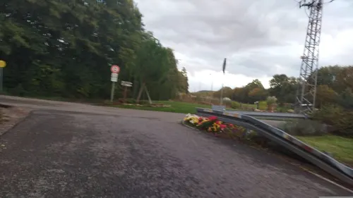
Alte Fischerei
Bar and pub · Regional · 4.4 km
70 Industriestraße, Ubstadt-Weiher
Fr-Sa 17:00-22:00; Su 11:00-22:00
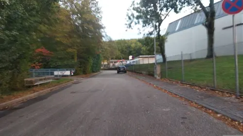

Sportgaststätte Blau-Weiß
Restaurant · German · 3.4 km
14 Industriestraße, Kraichtal
Sa 17:00-22:00; Su,PH 10:00-22:00; Mo,Tu off; We,Fr 11:00-22:00;...
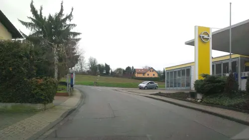
Stadtschänke
Restaurant · German · 4.8 km
15 Riegelgartenstraße, Kraichtal
Tu-Sa 11:00-14:00,17:00-21:00; Su 11:00-14:00
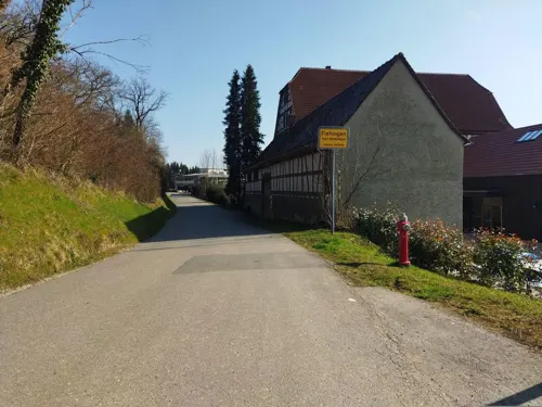
Stück vom Glück
Cafe · Cake, Breakfast · 6.8 km
101 Gochsheimer Straße, Oberderdingen
We 14:00-17:30; Th-Su 09:30-12:30,14:00-17:30
Züchterheim Gochsheim
Restaurant · Thai · 4.1 km
3 Im Steinbrunnen, Kraichtal
Th-Sa 16:00-20:00; Su,PH 11:30-20:00
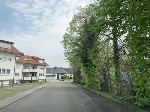
Brauerei Prestelbräu
Brewery and winery · 7.3 km
2a Obere Mühlstraße, Ubstadt-Weiher
We, Fr 17:00-19:00; Sa 10:00-13:00

Föckler
Bakery · 3.3 km
24 Frühlingstraße, Kraichtal
Mo,Sa 06:00-12:30; Tu-Fr 06:00-12:30,15:00-18:00; Su 07:00-11:00;...
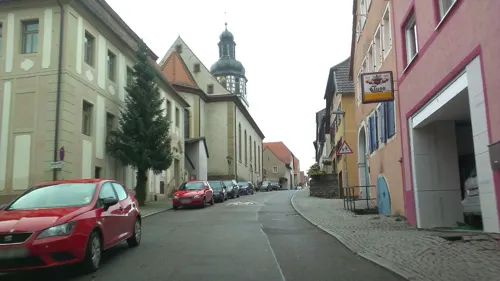


Föckler
Bakery · 4.8 km
58 Hauptstraße, Kraichtal
Mo-Th 06:00-13:00; Fr 06:00-13:00,15:00-18:00; Sa 06:00-12:30,15:00-18:00
75 more on the map.
Where to stay6
Churches and places of worship36
Alte St.Martinskirche
Church · Roman Catholic · 5.4 km
15 Kirchstraße, Ubstadt-Weiher
Evangelische Kirche Oberöwisheim
Church · Protestant · 3.1 km
8 Oelbergstraße, Kraichtal
Sebastianskirche
Church · Protestant · 4.9 km
25 Sonnenstraße, Kraichtal
Shopping10
Gas and EV charging5
Schools, colleges and libraries13
Healthcare9
Kraichtal-Kliniken Psychosomatische Fachklinik Münzesheim
Clinic and pharmacy · 2.7 km
1 Am Mühlberg, Kraichtal
Kraichtal-Kliniken, Haus Kraichtalblick
Hospital · 4.5 km
46 Sternackerstraße, Kraichtal
Map of Kraichtal
250 places. The map loads OpenStreetMap tiles when you open it.
Getting there and nearby towns
City-Airport Mannheim (MHG) is the nearest airport with scheduled flights listed in OpenStreetMap, 40 km away.
- Ubstadt-Weiher 8 km west, about 8 min by car
- Östringen 8 km north, about 8 min by car
- Bruchsal 10 km west, about 10 min by car
- Oberderdingen 10 km southeast, about 10 min by car
- Bretten 12 km south, about 12 min by car
- Eppingen 13 km east, about 13 min by car
- Sinsheim 16 km northeast, about 16 min by car
- Sankt Leon-Rot 16 km northwest, about 16 min by car
- Wiesloch 17 km north, about 17 min by car
- Graben-Neudorf 18 km west, about 18 min by car
Drive times are estimates from straight-line distance, not routes.
Local news
Headlines from INDB.
Reviews, tips and questions
Loading what members have shared...
Sources and licences
- GeoNames (CC BY 4.0): population, coordinates, regions and time zone
- Mapillary (see each image): photos
- OpenStreetMap contributors (ODbL 1.0): places, airports, map data
- Wikidata (CC0 1.0): elevation, founding date, time zone, website, landmarks and historic places
- Wikimedia Commons (see each image): photos
- Wikipedia (CC BY-SA 4.0): overview and history text
Photo credits
- Gochsheim-schloss-2011, peter schmelzle, CC BY-SA 3.0
- Zaisenhausen Evangelische Kirche 215, Reinhardhauke, CC BY-SA 3.0
- Oberderdingen - Flehingen - Wasserschloss - Ansicht von Süden mit Abendsonne, Roman Eisele, CC BY-SA 4.0
- Stifterhof Odenheim, GDelhey, CC BY-SA 3.0
- Bahnbruecken-kirche, Schmelzle (Peter Schmelzle), CC BY-SA 3.0
- Beim Roten Kreuz 07, Joachim Lutz, CC BY-SA 4.0
- 20170521-Naturschutzgebiet-Greifenberg 2, Krabbler (Joerg Hipp), CC BY-SA 4.0
- Naturschutzgebiet Ritterbruch Landkreis Karlsruhe, Getuem, CC BY-SA 4.0
- Naturschutzgebiet Kraichbachniederung Kraichtal, Getuem, CC BY-SA 4.0
- 20170516 Tongrube Gochsheim, Krabbler (Joerg Hipp), CC BY-SA 4.0
- NSG Kleiner Kraichbach 01, Tragopogon, CC BY 4.0
- Naturschutzgebiet Beim Reutwald Kraichtal, Getuem, CC BY-SA 4.0
- Naturschutzgebiet Im oberen Haubruch, Getuem, CC BY-SA 4.0
- NSG Östringer Erlenwald, Michael Linnenbach, CC BY-SA 4.0
- NSG Apfelberg bei Östringen-Tiefenbach, Michael Linnenbach, CC BY-SA 4.0
- Landappbw 568582 1820 Kirche in Oberacker , Gemeinde Kraichtal Kirche St. Andreas, Werner Schüle, CC0
- Kraichtal-Oberöwisheim - Evang. Kirche 1, Bear62, CC BY 3.0
- Unteröwisheim, Kreuzkirche (05), Subbass1, CC BY-SA 4.0
- Münzesheim, St. Martin (02), Subbass1, CC BY-SA 4.0
- Ubstadt-Weiher - Pfarrkirche St. Andreas 2015-12-03 14-08-42, Photographs by Radosław Drożdżewski (User:Zwiadowca21), CC BY-SA 4.0
- Kraichtal-Neuenbürg - Kath. Kirche 1, Bear62, CC BY 3.0
- Odenheim-stmichael22, Peter Schmelzle, CC BY-SA 3.0
- FirststaenderhausZeutern, Bernhard Strominski, CC BY-SA 3.0
- Zeutern alte St. Martinskirche 20110228, Rudolf Stricker, Attribution
- Odenheim-stifterhif-kloster5, Peter Schmelzle, CC BY-SA 3.0
- Flehingen Schloss183, Reinhardhauke, CC BY-SA 3.0
- Landappbw 568580 1820 Kirche in Oberacker , Gemeinde Kraichtal Kirche St. Andreas, Werner Schüle, CC0
- Street-level photo, wegavision, CC BY-SA 4.0
- Street-level photo, changchun1, CC BY-SA 4.0
- Street-level photo, changchun1, CC BY-SA 4.0
- Street-level photo, wegavision, CC BY-SA 4.0
- Street-level photo, changchun1, CC BY-SA 4.0
- Street-level photo, wegavision, CC BY-SA 4.0
- Street-level photo, ramap, CC BY-SA 4.0
- Street-level photo, changchun1, CC BY-SA 4.0
- Street-level photo, wegavision, CC BY-SA 4.0
- Street-level photo, tasmaniadevil, CC BY-SA 4.0
- Street-level photo, wegavision, CC BY-SA 4.0
- Street-level photo, wegavision, CC BY-SA 4.0
- Street-level photo, pablopita, CC BY-SA 4.0
- Street-level photo, changchun1, CC BY-SA 4.0
- Street-level photo, mfa, CC BY-SA 4.0
- Street-level photo, changchun1, CC BY-SA 4.0
- Street-level photo, ramap, CC BY-SA 4.0
- Street-level photo, changchun1, CC BY-SA 4.0
- Street-level photo, wegavision, CC BY-SA 4.0
- Street-level photo, mfa, CC BY-SA 4.0
- Street-level photo, TheDuckListener, CC BY-SA 4.0


Page built November 8, 2026. Spotted a mistake? Tell us or suggest a place.