


Oberderdingen, Germany
Oberderdingen is a town of 10,515 people in Baden-Wurttemberg, Germany.
Why visit Oberderdingen
Townapedia lists 49 museums and landmarks, 15 parks and trails, 72 places to eat, 10 places to stay and 17 attractions in and around town.
Highlights include Bauernhof Leis, Luisenhof, Museum & Galerie im Aschingerhaus and Vinothek.
Weather in Oberderdingen
Forecast from MET Norway (CC BY 4.0). Full forecast
About Oberderdingen
Oberderdingen (German pronunciation: [oːbɐˈdɛʁdɪŋən] ) is a town in the Karlsruhe district of Baden-Württemberg, southwestern Germany. It is located about 30 km east of Karlsruhe and 32 km west of Heilbronn. The town lies within the Kraichgau region, known for its rolling hills and vineyards.
From the Wikipedia article Oberderdingen (this version), under CC BY-SA 4.0.
Things to do17
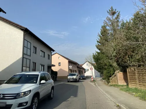


Iris' Hoflädle
Farm and orchard · 4.2 km
Milch, Milchprodukte, Eier, Wurst
1 Haarbruch, Oberderdingen

5 more on the map.
Museums and landmarks49


Vinothek
Monument and historic site · 0.7 km
3 Heinfelser Platz, Oberderdingen
Mo,Sa 09:30-12:30; Tu-Fr 09:30-12:30,15:00-18:00; Su,PH 14:00-17:00


Melanchthonhaus
Museum · 7.7 km
Building and museum in Bretten, BW, Germany



37 more on the map.
Parks, trails and playgrounds15

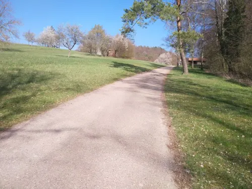

NaturErlebnisBad Flehingen
Sports field and stadium · 4.0 km
Gochsheimer Straße, Oberderdingen
Jun 01-Aug 31 Mo-Su 10:00-20:00 "Je nach Witterung schon früher im...





3 more on the map.
Restaurants and cafes72

Dal Nord Al Sud
Restaurant · Pizza, Italian · 4.2 km
13 Industriestraße, Bretten
Mo-Tu off; We 17:00-21:30; Th 12:00-14:00,17:00-21:30; Fr...
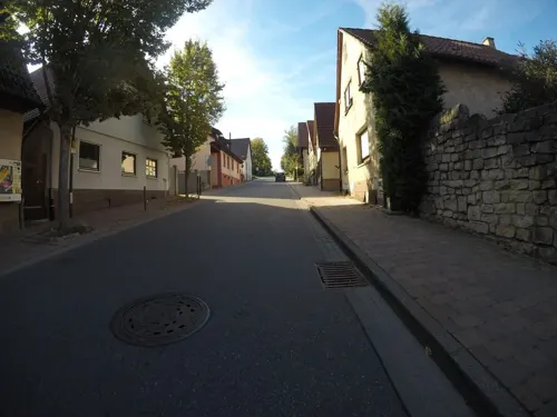
Gasthaus Adler
Restaurant · Regional · 3.3 km
8 Heilbronner Straße, Oberderdingen
Mo-Fr 17:00-23:00; Tu off; We off; Sa 16:00-23:00; Su 11:00-23:00
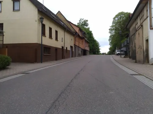
Herbingers im alten Schulhaus
Restaurant · Regional · 0.7 km
1 Heinfelser Platz, Oberderdingen
"nach Vereinbarung"
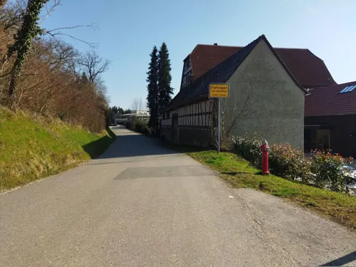
Stück vom Glück
Cafe · Cake, Breakfast · 3.6 km
101 Gochsheimer Straße, Oberderdingen
We 14:00-17:30; Th-Su 09:30-12:30,14:00-17:30
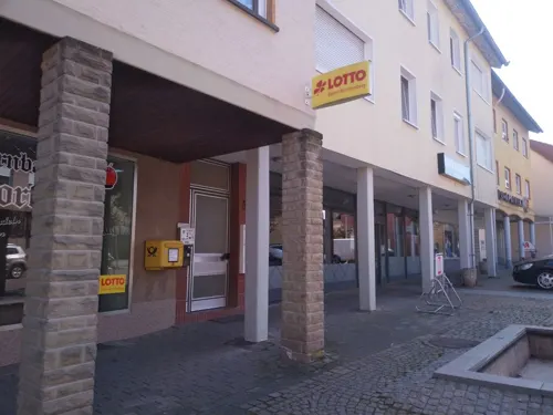
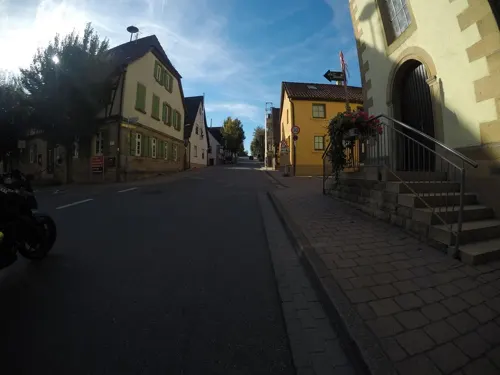
Weingut Kelterhof
Brewery and winery · German · 3.2 km
1 Freudensteiner Straße, Oberderdingen
Mo,Tu 09:00-13:00; We-Sa 11:00-23:00
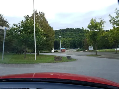
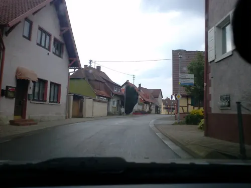
Vereinsgaststätte SV Oberderdingen
Restaurant · Regional · 1.0 km
2 Am Stadion, Oberderdingen
Mo-Fr 16:00-24:00; Sa,Su,PH 09:30-24:00
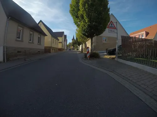


Waldensercafé Thollembeek
Cafe · 3.2 km
24 Heilbronner Straße, Oberderdingen
Mo-Sa 06:00-18:00; Su 08:00-18:00
Weingut Lutz
Restaurant · Regional · 0.6 km
1 Amthof, Oberderdingen
We-Sa 11:00-14:30,17:00-23:00; Su 11:00-23:00
Zum Goldenen Hahn
Restaurant · German · 3.1 km
15/3 Kraichtalstraße, Oberderdingen
We-Su 11:30-14:30,17:00-22:00
60 more on the map.
History
The town's history dates back to at least 1260, when it was mentioned in the Herrenalb Charter for a vineyard in Terdingen. The Herrenalb Monastery, constructed in 1267, highlights the historical significance of the area.
From the History section of Oberderdingen on Wikipedia, under CC BY-SA 4.0.
Where to stay10
Landgasthof zu Sternenfels#
Motel and hotel · 3.9 km
2 Heilbronner Straße, Sternenfels
Churches and places of worship21
St. Maria Magdalena
Church · Roman Catholic · 2.6 km
4 Kürnbacher Straße, Oberderdingen
Evangelisch-Methodistische Kirche
Church · Methodist · 3.3 km
19 Burgstraße, Kürnbach
Shopping12
Gas and EV charging3
Schools, colleges and libraries9
Healthcare4
Map of Oberderdingen
212 places. The map loads OpenStreetMap tiles when you open it.
Getting there and nearby towns
City-Airport Mannheim (MHG) is the nearest airport with scheduled flights listed in OpenStreetMap, 50 km away.
- Vaihingen an der Enz 18 km southeast, about 18 min by car
- Östringen 18 km north, about 18 min by car
- Pforzheim 22 km south, about 22 min by car
- Sinsheim 22 km north, about 22 min by car
- Schwaigern 20 km northeast, about 20 min by car
- Wiesloch 27 km north, about 27 min by car
- Tamm 28 km southeast, about 28 min by car
- Karlsruhe 30 km west, about 30 min by car
- Waghäusel 29 km northwest, about 29 min by car
- Heilbronn 31 km east, about 31 min by car
Drive times are estimates from straight-line distance, not routes.
Local news
Headlines from INDB.
Reviews, tips and questions
Loading what members have shared...
Sources and licences
- GeoNames (CC BY 4.0): population, coordinates, regions and time zone
- Mapillary (see each image): photos
- OpenStreetMap contributors (ODbL 1.0): places, airports, map data
- Wikidata (CC0 1.0): elevation, founding date, time zone, website, landmarks and historic places
- Wikimedia Commons (see each image): photos
- Wikipedia (CC BY-SA 4.0): overview and history text
Photo credits
- Oberderdingen St.Maria Friedhof 2012-02-12 IMG 0177, Reneman, CC BY-SA 3.0
- Oberderdingen - Ortskern - Amthof - Pfarrhaus - Ansicht von SSW (1), Roman Eisele, CC BY-SA 4.0
- Oberderdingen Amthof Brunnen 149, Jacquesverlaeken, CC BY-SA 4.0
- Oberderdingen fountain 150, Jacquesverlaeken, CC BY-SA 4.0
- Oberderdingen - Ortskern - Brettener Str. 25, 27 - Ansicht von NW (1), Roman Eisele, CC BY-SA 4.0
- Amthof 2 (Oberderdingen) - Südansicht, Cookroach, CC BY-SA 4.0
- Amthof 2 (Oberderdingen) - Ansicht Brettener Straße, Cookroach, CC BY-SA 4.0
- Amthof 2 (Oberderdingen), Cookroach, CC BY-SA 4.0
- Amthof 2 (Oberderdingen) - Seitenansicht, Cookroach, CC BY-SA 4.0
- Sprungwippe Oberderdingen Hinter dem Hof, MaweHD, CC0
- Gochsheim-schloss-2011, peter schmelzle, CC BY-SA 3.0
- Kloster Maulbronn 2009, Elke Wetzig ( Elya ), CC BY-SA 3.0
- Marktplatz-Bretten, Unknown author, Public domain
- Kuernbach-kirche, p.schmelzle, CC BY-SA 3.0
- Zaisenhausen Evangelische Kirche 215, Reinhardhauke, CC BY-SA 3.0
- Oberderdingen - Flehingen - Wasserschloss - Ansicht von Süden mit Abendsonne, Roman Eisele, CC BY-SA 4.0
- Flehingen St.Martin177, Reinhardhauke, CC BY-SA 3.0
- Lake Nearly Knittlingen - panoramio, Dg-505, CC BY 3.0
- Kohlbach (Sulzfeld), Daniel F., CC BY-SA 3.0
- Sulzfeld (Baden) - Ravensburg - Ansicht aus NNW (RQCD3813), Roman Eisele, CC BY-SA 4.0
- Oberderdingen-Laurentius-2012-bild084, Peter Schmelzle, CC BY-SA 3.0
- Sickingen-St-Magdalena-2012-bild-071, Peter Schmelzle, CC BY-SA 3.0
- Bauerbach (Bretten), Miebner, GFDL
- Oberderdingen Amthof63, Reinhardhauke, CC BY-SA 3.0
- Oberderdingen Torwächterhaus, Eugen Lehle, CC BY-SA 3.0
- Flehingen Schloss183, Reinhardhauke, CC BY-SA 3.0
- Oberderdingen Hexenturm, Eugen Lehle, CC BY-SA 3.0
- Bauerbach, Kirche St. Peter, Rauenstein, Public domain
- Sickingen-Magdalenenkirche, Peter Schmelzle, CC BY 3.0
- Street-level photo, photastic, CC BY-SA 4.0
- Street-level photo, changchun1, CC BY-SA 4.0
- Street-level photo, mfa, CC BY-SA 4.0
- Street-level photo, changchun1, CC BY-SA 4.0
- Street-level photo, changchun1, CC BY-SA 4.0
- Street-level photo, mfa, CC BY-SA 4.0
- Street-level photo, pablopita, CC BY-SA 4.0
- Street-level photo, tasmaniadevil, CC BY-SA 4.0
- Street-level photo, mfa, CC BY-SA 4.0
- Street-level photo, nakaner, CC BY-SA 4.0
- Street-level photo, tasmaniadevil, CC BY-SA 4.0
- Street-level photo, ramap, CC BY-SA 4.0
- Street-level photo, tasmaniadevil, CC BY-SA 4.0
- Street-level photo, tasmaniadevil, CC BY-SA 4.0
- Street-level photo, tasmaniadevil, CC BY-SA 4.0
- Street-level photo, tasmaniadevil, CC BY-SA 4.0
- Street-level photo, wegavision, CC BY-SA 4.0
- Street-level photo, mfa, CC BY-SA 4.0
- Street-level photo, pablopita, CC BY-SA 4.0


Page built November 8, 2026. Spotted a mistake? Tell us or suggest a place.