


Why visit Östringen
Townapedia lists 61 museums and landmarks, 51 parks and trails, 160 places to eat, 24 places to stay and 32 attractions in and around town.
Highlights include Hofverkauf Weingut Ihle, Windhof Beifuss, Wasserschloß Eichtersheim and Winzermuseum.
Weather in Östringen
Forecast from MET Norway (CC BY 4.0). Full forecast
About Östringen
Östringen (German pronunciation: [ˈøːstʁɪŋən] ; South Franconian: Öschdringe) is a town in Northern Karlsruhe district in Baden-Württemberg, Germany. Östringen is a twin town with Abergavenny, South Wales. Until the district reform on January 1, 1973, Östringen means the district of Bruchsal. It was declared its own municipality by the state government in 1981 due to being a central place for local commerce.
From the Wikipedia article Östringen (this version), under CC BY-SA 4.0.
Things to do32


Hofladen der Landwirtschaftlichen Außenstelle Kislau
Farm and orchard · 4.9 km


Hildebrandts Gemüsegarten
Farm and orchard · 4.2 km
Tu 16:00-18:00; Fr - Sa 10:00-13:00

Tierpark Mingolsheim
Zoo and aquarium · 2.5 km
Mo-We 09:00-11:00, Th-Su 09:00-07:00
20 more on the map.
Museums and landmarks61

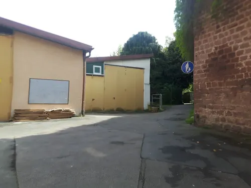




Wiesloch Feldbahn and Industrial Museum
Museum · 9.3 km
Open-air museum

Firstständerhaus
Monument and historic site · 5.4 km
29 Unterdorfstraße, Ubstadt-Weiher

Friedrich-Hecker-Geburtshaus
Monument and historic site · 4.9 km
5 Friedrich-Hecker-Straße, Angelbachtal
Puppenmuseum
Museum · 3.7 km
16 Monestraße, Bad Schönborn
Su, We 14:00-18:00
49 more on the map.
Parks, trails and playgrounds51




Goldknöpfle
Park · 3.2 km
32 Banksitzpläze (4 Tische) aussen und weitere in der offenen Schutzhütte

39 more on the map.
Restaurants and cafes160
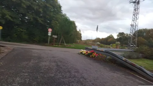
Alte Fischerei
Bar and pub · Regional · 4.9 km
70 Industriestraße, Ubstadt-Weiher
Fr-Sa 17:00-22:00; Su 11:00-22:00
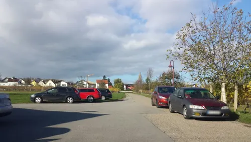
Bernies Café Malsch
Cafe · Regional · 3.2 km
12 Rettigheimer Straße, Malsch
Mo 09:30-17:00; Th-Su 09:30-17:00
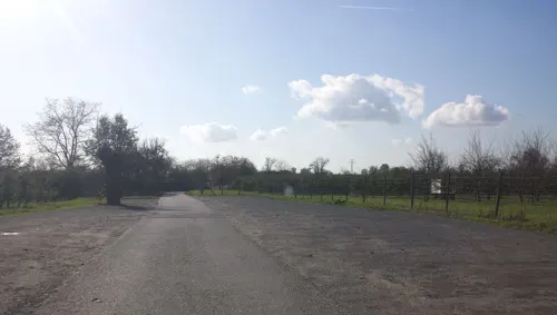
Besenwirtschaft Reblaus
Restaurant · Regional · 3.6 km
2 Wiesenäcker, Malsch
Tu-Sa 14:30-21:30; PH,Su 11:30-21:00
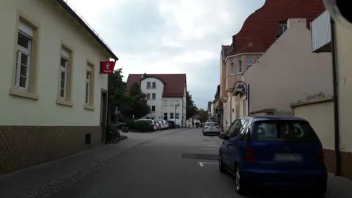
El Greco
Restaurant · Greek · 3.8 km
58 Friedrichstraße, Bad Schönborn
Tu-Sa 11:30-14:30,17:00-23:15; Su,PH 11:30-21:30

Fredos
Restaurant · Pizza · 6.0 km
3 Schwarzer Stock, Rauenberg
Tu-Fr 17:30-22:00;Sa 17:00-22:00;Su 17:00-21:00
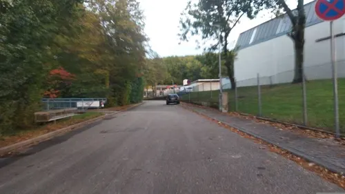
Henry´s
Restaurant · German · 5.0 km
39 Hauptstraße, Bad Schönborn
Mo-Fr 11:30-14:00, 17:30-22:30; Su 17:00-22:00
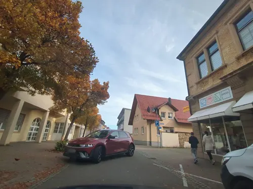
Hermes
Restaurant · Greek · 3.9 km
50 Friedrichstraße, Bad Schönborn
Tu-Fr 11:15-14:30,17:30-23:00; Sa,Su 11:15-14:30,17:00-23:00
INDE FUSION
Restaurant · Indian · 3.4 km
1a Uhlandstraße, Mühlhausen
Mo,Th-Su 11:30-14:00,17:30-22:00; Tu,We 17:30-22:00
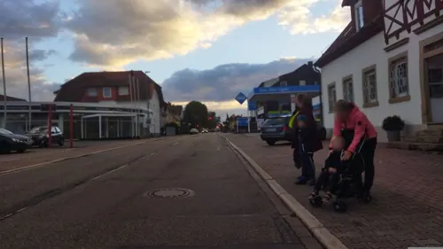
Konditorei Café Gross
Cafe · Ice Cream · 5.2 km
86 Hauptstraße, Bad Schönborn
Tu-Fr 13:00-19:00; Sa,Su,PH 11:00-19:00


Negri's 73
Restaurant · Ice Cream, Italian, Mediterranean, Pasta, Pizza, Seafood · 3.6 km
1 Kirchberg
We-Su 17:00-22:00
148 more on the map.
Where to stay24
Churches and places of worship49
Ehemalige Schlosskirche
Church · 4.9 km
3 Friedrich-Hecker-Straße, Angelbachtal
Alte St.Martinskirche
Church · Roman Catholic · 5.5 km
15 Kirchstraße, Ubstadt-Weiher
Evangelische Kirche
Church · Protestant · 6.3 km
4 Klammenstraße, Sinsheim
Kirche St. Cäcilia
Church · Catholic · 3.6 km
6 Untere Mühlstraße, Mühlhausen
St. Lambertus
Church · Roman Catholic · 3.5 km
109 Friedrichstraße, Bad Schönborn
St. Laurentius
Church · Roman Catholic · 5.7 km
8 Kirchstraße, Kronau
Shopping31
Gas and EV charging21
Schools, colleges and libraries30
Healthcare15
Map of Östringen
250 places. The map loads OpenStreetMap tiles when you open it.
Getting there and nearby towns
City-Airport Mannheim (MHG) is the nearest airport with scheduled flights listed in OpenStreetMap, 32 km away.
- Wiesloch 8 km north, about 8 min by car
- Walldorf 11 km northwest, about 11 min by car
- Sinsheim 13 km east, about 13 min by car
- Sandhausen 14 km north, about 14 min by car
- Waghäusel 15 km west, about 15 min by car
- Philippsburg 18 km west, about 18 min by car
- Oftersheim 19 km northwest, about 19 min by car
- Heidelberg 21 km north, about 21 min by car
- Schwetzingen 20 km northwest, about 20 min by car
- Schwaigern 26 km east, about 26 min by car
Drive times are estimates from straight-line distance, not routes.
Local news
Headlines from INDB.
Reviews, tips and questions
Loading what members have shared...
Sources and licences
- GeoNames (CC BY 4.0): population, coordinates, regions and time zone
- Mapillary (see each image): photos
- OpenStreetMap contributors (ODbL 1.0): places, airports, map data
- Wikidata (CC0 1.0): elevation, founding date, time zone, website, landmarks and historic places
- Wikimedia Commons (see each image): photos
- Wikipedia (CC BY-SA 4.0): overview and history text
Photo credits
- Rathaus Oestringen060909, G. Foerderer, CC BY-SA 3.0
- Eschelbach-evkirche, peter schmelzle, CC BY-SA 3.0
- Malsch-St-Juliana-Kirche, 4028mdk09, CC BY-SA 3.0
- Eichtersheim-schlosskirche, Peter Schmelzle, CC BY-SA 3.0
- Stifterhof Odenheim, GDelhey, CC BY-SA 3.0
- Schloß Eichtersheim Angelbachtal Deutschland, Grossbildjaeger, CC BY-SA 3.0
- Mingolsheim Rochuskapelle 01, Bernhard Strominski, Public domain
- Eichtersheim Rentamt 747, Reinhardhauke, CC BY-SA 3.0
- Michelfeld (Angelbachtal) Schloss 739, Reinhardhauke, CC BY-SA 3.0
- Schloss Rotenberg - 2014-11-01 17-25-44, Photographs by Radosław Drożdżewski (User:Zwiadowca21), CC BY-SA 4.0
- Mühlhausen katholische Kirche 20110222, Rudolf Stricker, Attribution
- DSCF0893, ( Claus Ableiter ) ,, CC BY-SA 3.0
- Rettigheim Katholische Kirche 20110222, Rudolf Stricker, Attribution
- Wassergraben im NSG Hochholz-Kapellenbruch, Gabriella Schmidt, CC BY-SA 3.0
- Malscher Aue, Gabriella Schmidt, CC BY-SA 3.0
- Beim Roten Kreuz 07, Joachim Lutz, CC BY-SA 4.0
- Rückhaltebecken 4, WilliSeefried, CC BY-SA 4.0
- Rauenberg, Germany - panoramio (6) cropped - Naturschutzgebiet Altenbachtal und Galgenberg, Otmar Merkel, CC BY 3.0
- NSG Östringer Erlenwald, Michael Linnenbach, CC BY-SA 4.0
- Angelbachtal Katholische Kirche 20070516, Rudolf Stricker, CC BY-SA 3.0
- Kronau Katholische Kirche 20110117, Rudolf Stricker, Attribution
- Odenheim-stmichael22, Peter Schmelzle, CC BY-SA 3.0
- FirststaenderhausZeutern, Bernhard Strominski, CC BY-SA 3.0
- Zeutern alte St. Martinskirche 20110228, Rudolf Stricker, Attribution
- Eichtersheim Schloss side 20070516, Rudolf Stricker, CC BY-SA 3.0
- Rotenberg Eckturm, Andreas Rockstein, Public domain
- Odenheim-stifterhif-kloster5, Peter Schmelzle, CC BY-SA 3.0
- Eichtersheim Friedrich Hecker Haus 20070516, Rudolf Stricker, CC BY-SA 3.0
- Angelbachtal-kathkirche, Peter Schmelzle, CC BY-SA 3.0
- Eichtersheim Schlosskirche 746, Reinhardhauke, CC BY-SA 3.0
- Malsch Katholische Kirche 20110222, Rudolf Stricker, Attribution
- Eckstein Poller, User:StromBer, Public domain
- Eckstein Beton, StromBer, CC BY-SA 3.0
- BrezelWetterfahne, StromBer, CC BY-SA 3.0
- Unterstand am Krötenbach, Werner Wanderfreund, CC0
- Malsch (bei Heidelberg) - Letzenberg-Kapelle - Kruzifix 4, Roman Eisele, CC BY-SA 4.0
- Street-level photo, changchun1, CC BY-SA 4.0
- Street-level photo, wegavision, CC BY-SA 4.0
- Street-level photo, wegavision, CC BY-SA 4.0
- Street-level photo, agranizo, CC BY-SA 4.0
- Street-level photo, agranizo, CC BY-SA 4.0
- Street-level photo, BennyTjeExplorer, CC BY-SA 4.0
- Street-level photo, tasmaniadevil, CC BY-SA 4.0
- Street-level photo, changchun1, CC BY-SA 4.0
- Street-level photo, baldur80, CC BY-SA 4.0
- Street-level photo, changchun1, CC BY-SA 4.0
- Street-level photo, changchun1, CC BY-SA 4.0
- Street-level photo, changchun1, CC BY-SA 4.0
- Street-level photo, karthoo, CC BY-SA 4.0
- Street-level photo, wegavision, CC BY-SA 4.0
- Street-level photo, wegavision, CC BY-SA 4.0
- Street-level photo, teddy73, CC BY-SA 4.0
- Street-level photo, BennyTjeExplorer, CC BY-SA 4.0
- Street-level photo, BennyTjeExplorer, CC BY-SA 4.0
- Street-level photo, agranizo, CC BY-SA 4.0
- Street-level photo, changchun1, CC BY-SA 4.0
- Street-level photo, changchun1, CC BY-SA 4.0
- Street-level photo, changchun1, CC BY-SA 4.0
- Street-level photo, wegavision, CC BY-SA 4.0
- Street-level photo, tasmaniadevil, CC BY-SA 4.0


Page built November 8, 2026. Spotted a mistake? Tell us or suggest a place.