


Sankt Leon-Rot, Germany
St. Leon-Rot
Sankt Leon-Rot is a town of 12,192 people in Baden-Wurttemberg, Germany.
Why visit Sankt Leon-Rot
Townapedia lists 32 museums and landmarks, 25 parks and trails, 94 places to eat, 15 places to stay and 12 attractions in and around town.
Highlights include Luxor Filmpalast Walldorf-Wiesloch, Bauernladen Mayer, Burg Wersau and Wiesloch Feldbahn and Industrial Museum.
Weather in Sankt Leon-Rot
Forecast from MET Norway (CC BY 4.0). Full forecast
About Sankt Leon-Rot
Sankt Leon-Rot is a municipality in the district of Rhein-Neckar-Kreis, in Baden-Württemberg, Germany. It is situated 16 km south of Heidelberg.
From the Wikipedia article Sankt Leon-Rot (this version), under CC BY-SA 4.0.
Things to do12


Bauernladen Mayer
Farm and orchard · 4.3 km
Hofladen Spargelhof Mayer
Mo-Sa 08:00-13:00; Fr 15:00-18:00; Apr-Jun Mo-Su 08:00-13:00, 15:00-18:00


Museums and landmarks32


Wiesloch Feldbahn and Industrial Museum
Museum · 5.1 km
Open-air museum


20 more on the map.
Parks, trails and playgrounds25






13 more on the map.
Restaurants and cafes94
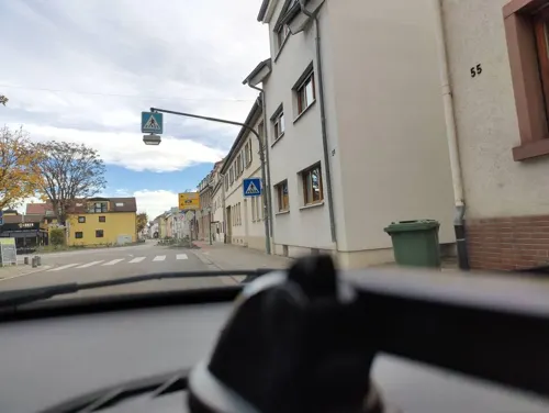
Akropolis
Restaurant · Greek · 4.5 km
63 Hauptstraße, Reilingen
Tu-Fr, Su 11:30-14:00 ;Mo-Su 17:00- 24:00

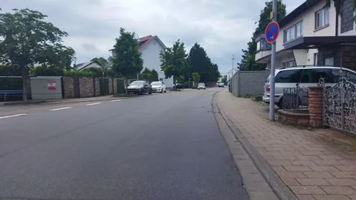
Mr. Wok
Restaurant · Asian
205a Hauptstraße, St. Leon-Rot
Mo-Fr,Su,PH 11:30-14:30,17:00-21:00; Sa 17:00-21:00
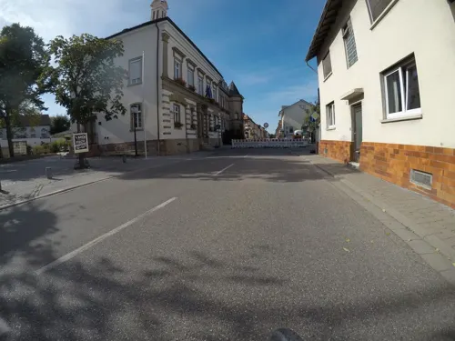
Ristorante & Pizzeria DolceVita
Restaurant · Italian · 4.5 km
44 Hauptstraße, Reilingen
11:30-14:30,17:30-23:30

Ristorante Bellissimo
Restaurant · Italian
3 Konradusstraße, St. Leon-Rot
Su 11:30-13:30,17:00-21:00; Mo off; Tu-Sa 17:00-22:00
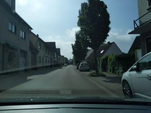
FIRST
Bar and pub · 4.3 km
Café, Bar, Lounge
21 Hauptstraße, Walldorf
Mo,We-Su 09:00-14:00,17:00-23:00; Tu off


Gasthaus zum Löwen
Restaurant · Regional, German · 4.3 km
1 Hauptstraße, Reilingen
Mo-Tu off; We-Fr 11:30-14:00,17:30-23:00; Sa 17:30-23:00; Su...
82 more on the map.
Where to stay15
Erholungsanlage St. Leoner See Hundecampingplatz
Campground · 2.9 km
1 Am St. Leoner See, St. Leon-Rot
Churches and places of worship20
St. Mauritius
Church · Catholic · 0.9 km
2 Walldorfer Straße, St. Leon-Rot
Evangelische Kirche
Church · Protestant · 4.6 km
52 Hauptstraße, Reilingen
Kath. Kirche St. Leo der Große
Church · Catholic · 1.1 km
32 Marktstraße, St. Leon-Rot
Shopping21
EDEKA Kissel SBK Markt - Walldorf Ost
Grocery · 4.2 km
34 Bahnhofstraße, Walldorf
Gas and EV charging12
Schools, colleges and libraries11
Healthcare7
Nephrologisches MVZ mit Dialysezentrum Wiesloch ze:roPRAXEN
Clinic and pharmacy · 4.6 km
Map of Sankt Leon-Rot
249 places. The map loads OpenStreetMap tiles when you open it.
Getting there and nearby towns
City-Airport Mannheim (MHG) is the nearest airport with scheduled flights listed in OpenStreetMap, 24 km away.
- Walldorf 5 km north, about 5 min by car
- Wiesloch 7 km northeast, about 7 min by car
- Waghäusel 8 km west, about 8 min by car
- Hockenheim 8 km northwest, about 8 min by car
- Östringen 9 km southeast, about 9 min by car
- Nußloch 9 km northeast, about 9 min by car
- Sandhausen 9 km north, about 9 min by car
- Leimen 10 km northeast, about 10 min by car
- Ubstadt-Weiher 11 km south, about 11 min by car
- Oftersheim 11 km north, about 11 min by car
Drive times are estimates from straight-line distance, not routes.
Local news
Headlines from INDB.
Reviews, tips and questions
Loading what members have shared...
Sources and licences
- GeoNames (CC BY 4.0): population, coordinates, regions and time zone
- Mapillary (see each image): photos
- OpenStreetMap contributors (ODbL 1.0): places, airports, map data
- Wikidata (CC0 1.0): elevation, founding date, time zone, website, landmarks and historic places
- Wikimedia Commons (see each image): photos
- Wikipedia (CC BY-SA 4.0): overview and history text
Photo credits
- St.-Leon-Rot-Rathaus, Frank, CC BY-SA 2.5
- Sankt Leon-Rot, de Sankt-Mauritiuskirche IMG 2210 2022-05-24 11.59, Michielverbeek, CC BY-SA 4.0
- Reilingen evangelische Kirche 20110307, Rudolf Stricker, Attribution
- Ev stadtkirche walldorf1, Andreas Ockert, CC BY-SA 3.0
- Malsch-letzenbergkapelle2011, peter schmelzle, CC BY-SA 3.0
- Alte Synagoge, Neuapostolische Kirche Walldorf 20170316 001, Tilman2007, CC BY-SA 4.0
- Wassergraben im NSG Hochholz-Kapellenbruch, Gabriella Schmidt, CC BY-SA 3.0
- St. Leon-Rot, St. Leo der Große (23), Subbass1, CC BY-SA 4.0
- 20110816St. Wolfgang Malschenberg, AnRo0002, CC0
- NSG-Wiesloch-Frauenweiler mit Iris sibirica, Ditte Bandini, CC BY-SA 4.0
- 20110424St Peter Walldorf1, AnRo0002, CC0
- Wegekreuz Malsch, Wegavision, CC0
- Reilingen Sankt-Wendelin-Kirche 20110307, Rudolf Stricker, Attribution
- Alte Synagoge Walldorf2009, VollwertBIT, CC BY-SA 3.0
- 20110830St Leon56, AnRo0002, CC0
- 20160401-leimbach-park-neues-leimbachbett, Paul Sladen, CC0
- St. Leon-Rot St. Mauritius 20100707, Rudolf Stricker, Attribution
- St. Leon-Rot Christuskirche 20100707, Rudolf Stricker, Attribution
- St. Leon-Rot Rathaus 20100707, Rudolf Stricker, Attribution
- St. Leon-Rot Harres 20100707, Rudolf Stricker, Attribution
- Škoda Superb Combi III 2.0 TDI (2019) (53473926115), Charles from Port Chester, New York, CC BY 2.0
- Kia Ceed 1.5 T-GDI GT Line (2023) (53473820954), Charles from Port Chester, New York, CC BY 2.0
- Renault Zoe R90 (2019) (53473650538), Charles from Port Chester, New York, CC BY 2.0
- St. Leon-Rot St. Mauritius Turm 20100707, Rudolf Stricker, Attribution
- St. Leon-Rot Pfarrheim St. Mauritius 20100707, Rudolf Stricker, Attribution
- St. Leon-Rot Gasthaus Löwen, Rudolf Stricker, Attribution
- St. Leon-Rot Hofidylle 20100707, Rudolf Stricker, Attribution
- St. Leon-Rot, St. Leo der Große (05), Subbass1, CC BY-SA 4.0
- St. Leon-Rot, St. Leo der Große (03), Subbass1, CC BY-SA 4.0
- St. Leon-Rot, St. Leo der Große (04), Subbass1, CC BY-SA 4.0
- St. Leon-Rot, St. Leo der Große (07), Subbass1, CC BY-SA 4.0
- St. Leon-Rot, St. Leo der Große (06), Subbass1, CC BY-SA 4.0
- St. Leon-Rot, St. Leo der Große (08), Subbass1, CC BY-SA 4.0
- St. Leon-Rot, St. Leo der Große (09), Subbass1, CC BY-SA 4.0
- St. Leon-Rot, St. Leo der Große (19), Subbass1, CC BY-SA 4.0
- Malsch (bei Heidelberg) - Letzenberg-Kapelle - Kruzifix 4, Roman Eisele, CC BY-SA 4.0
- Loco shed Wiesloch Feldbahn and Industrial Museum, William Boughton, CC BY-SA 4.0
- Street-level photo, changchun1, CC BY-SA 4.0
- Street-level photo, changchun1, CC BY-SA 4.0
- Street-level photo, mfa, CC BY-SA 4.0
- Street-level photo, poxonline, CC BY-SA 4.0
- Street-level photo, poxonline, CC BY-SA 4.0
- Street-level photo, wegavision, CC BY-SA 4.0
- Street-level photo, wegavision, CC BY-SA 4.0
- Street-level photo, wegavision, CC BY-SA 4.0
- Street-level photo, Datico, CC BY-SA 4.0
- Street-level photo, mfa, CC BY-SA 4.0
- Street-level photo, littlefool, CC BY-SA 4.0
- Street-level photo, changchun1, CC BY-SA 4.0
- Street-level photo, dns_vlpt, CC BY-SA 4.0
- Street-level photo, changchun1, CC BY-SA 4.0
- Street-level photo, wegavision, CC BY-SA 4.0
- Street-level photo, changchun1, CC BY-SA 4.0
- Street-level photo, knistertoni, CC BY-SA 4.0
- Street-level photo, joker234, CC BY-SA 4.0
- Street-level photo, nvbwseifert, CC BY-SA 4.0
- Street-level photo, joker234, CC BY-SA 4.0
- Street-level photo, ramap, CC BY-SA 4.0
- Street-level photo, wegavision, CC BY-SA 4.0
- Street-level photo, tasmaniadevil, CC BY-SA 4.0
- Street-level photo, mfa, CC BY-SA 4.0
- Street-level photo, mfa, CC BY-SA 4.0
- Street-level photo, knistertoni, CC BY-SA 4.0
- Street-level photo, knistertoni, CC BY-SA 4.0


Page built November 8, 2026. Spotted a mistake? Tell us or suggest a place.