


Why visit Lachendorf
Townapedia lists 8 museums and landmarks, 2 parks and trails, 21 places to eat, 7 places to stay and 6 attractions in and around town.
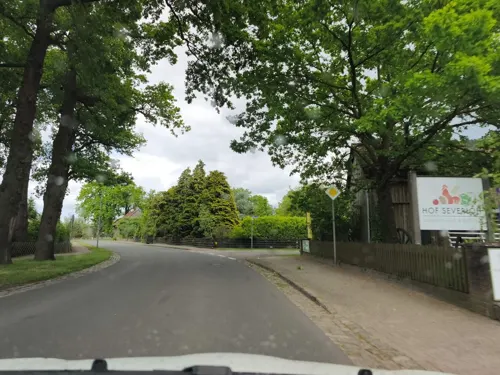
Highlights include Hof Severloh, Hofladen, Nordburg and Allerdreckwiesen.
Weather in Lachendorf
Forecast from MET Norway (CC BY 4.0). Full forecast
About Lachendorf
Lachendorf (German pronunciation: [ˈlaxn̩dɔʁf]; West Low German: Lachendörp) is a municipality in the district of Celle, in Lower Saxony, Germany. It is situated approximately 10 km east of Celle.
From the Wikipedia article Lachendorf (this version), under CC BY-SA 4.0.
Things to do6


Museums and landmarks8




Parks, trails and playgrounds2


Restaurants and cafes21
DOAR Restaurant • Bistro • Eiscafe
Restaurant · Pizza, Burger, Italian, Salad, Ice Cream, Coffee Shop
21a Oppershäuser Straße, Lachendorf
We-Su 11:30-22:00
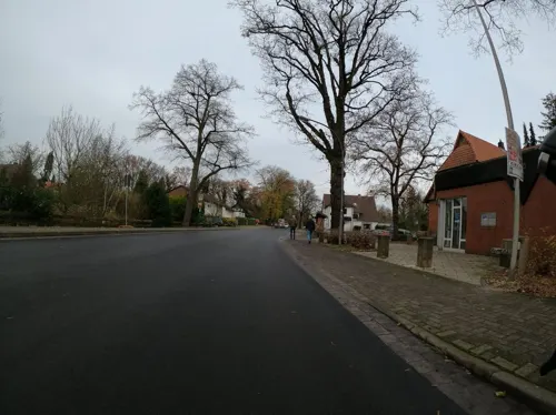
Klosterwirt Wienhausen
Restaurant · Regional · 5.5 km
9 Hauptstraße, Wienhausen
Sa 12:00-15:00,17:00-23:00; We-Fr 16:30-23:00; PH,Su...
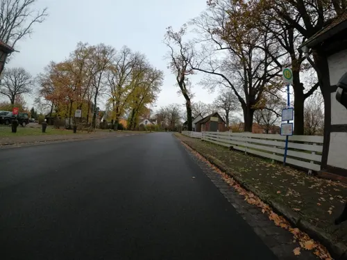
Zum Gutshof Oppershausen
Restaurant · Regional · 4.2 km
31a Dorfstraße, Wienhausen
Mo-Tu off; We-Fr 11:30-14:00, 17:30-21:00; Sa-Su 11:30-21:00
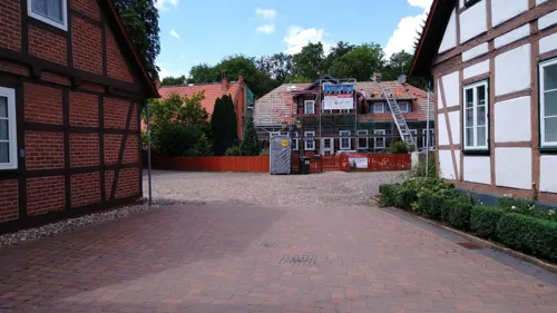

Landbäckerei Wittig
Bakery · 5.5 km
18 Hauptstraße, Wienhausen
Mo 06:00-13:00; Tu-Th 06:00-12:30,14:30-18:00; Fr 06:00-18:00; Sa...
Rodizio - Churrasco do Brasil
Restaurant · Brazilian · 4.7 km
Sep-Mar: Mo,Tu,Th-Sa 17:00-22:00+, Sep-Mar: Su,PH 11:30-22:00+,...


Zum Alten Bahnhof
Restaurant · Greek · 0.8 km
3 Bahnhofstraße, Lachendorf

9 more on the map.
History
In older records Lachendorf is mentioned under the name of Lachtendorp, meaning village at the river Lachte. In 1538 Ernest I, Duke of Brunswick-Lüneburg chose it as a proper place for a paper mill, which marks the beginning of settlement and commercial development. In 1845 the paper mill was extended to a factory, creating a remarkable amount of workspace in this agricultural region.
From the History section of Lachendorf on Wikipedia, under CC BY-SA 4.0.
Where to stay7
Churches and places of worship7
Shopping6
Gas and EV charging4
Schools, colleges and libraries4
Healthcare2
Map of Lachendorf
67 places. The map loads OpenStreetMap tiles when you open it.
Getting there and nearby towns
Forschungsflughafen Braunschweig-Wolfsburg (BWE) is the nearest airport with scheduled flights listed in OpenStreetMap, 39 km away.
- Celle 11 km west, about 11 min by car
- Wathlingen 11 km southwest, about 11 min by car
- Uetze 17 km south, about 17 min by car
- Meinersen 18 km southeast, about 18 min by car
- Hambühren 18 km west, about 18 min by car
- Burgdorf 25 km southwest, about 25 min by car
- Unterlüß 24 km north, about 24 min by car
- Gifhorn 26 km southeast, about 26 min by car
- Wietze 27 km west, about 27 min by car
- Bergen 28 km northwest, about 28 min by car
Drive times are estimates from straight-line distance, not routes.
Local news
Headlines from INDB.
Reviews, tips and questions
Loading what members have shared...
Sources and licences
- GeoNames (CC BY 4.0): population, coordinates, regions and time zone
- Mapillary (see each image): photos
- OpenStreetMap contributors (ODbL 1.0): places, airports, map data
- Wikidata (CC0 1.0): elevation, founding date, time zone, website
- Wikimedia Commons (see each image): photos
- Wikipedia (CC BY-SA 4.0): overview and history text
Photo credits
- Realschule Lachendorf, Josue007, CC BY-SA 3.0
- Christuskirche@Lachendorf20160509 02, Hajotthu, CC BY-SA 3.0
- Kirche Lachendorf IMG 2853, losch, Attribution
- Lachendorf@Mühlenstr 10 20160509 01, Hajotthu, CC BY-SA 3.0
- Lachendorf@Mühlenstr 7 20160509 01, Hajotthu, CC BY-SA 3.0
- Lachendorf Am Eichhof@Straßenverlauf 20160509, Hajotthu, CC BY-SA 3.0
- Lachendorf@Mühlenstr 12 20160509, Hajotthu, CC BY-SA 3.0
- Lachendorf@Mühlenstr 14 20160509, Hajotthu, CC BY-SA 3.0
- Lachte Altarm Ahnsbecker Stege@20150828, Hajotthu, CC BY-SA 3.0
- Martinskirche in Beedenbostel IMG 2034, Losch, CC BY-SA 3.0
- Allerdreckwiesen2010, Hajotthu, CC BY 3.0
- Maria-Magdalenen-Kapelle Oppershausen (Wienhausen)IMG 0976, Losch at German Wikipedia, CC BY-SA 3.0 de
- Lachendorf Kirche Raphael, Kirchenfan, CC0
- Lachte bei Lachendorf, Benutzer:AxelHH, Public domain
- Nordburg bei der Aller (evtl. Mundburg), Ulamm ( talk ), CC BY-SA 4.0
- Blasek-Eiche am Kloster Wienhausen IMG 2100, Losch, CC BY-SA 3.0
- Street-level photo, Langfahrer, CC BY-SA 4.0
- Street-level photo, Langfahrer, CC BY-SA 4.0
- Street-level photo, Langfahrer, CC BY-SA 4.0
- Street-level photo, hotteliene, CC BY-SA 4.0
- Street-level photo, hotteliene, CC BY-SA 4.0
- Street-level photo, Langfahrer, CC BY-SA 4.0
- Street-level photo, Jotam, CC BY-SA 4.0
- Street-level photo, Langfahrer, CC BY-SA 4.0
- Street-level photo, hotteliene, CC BY-SA 4.0
- Street-level photo, hotteliene, CC BY-SA 4.0
- Street-level photo, hotteliene, CC BY-SA 4.0
- Street-level photo, Jotam, CC BY-SA 4.0
- Street-level photo, hotteliene, CC BY-SA 4.0
- Street-level photo, tian, CC BY-SA 4.0
- Street-level photo, hotteliene, CC BY-SA 4.0
- Street-level photo, hotteliene, CC BY-SA 4.0
- Street-level photo, Langfahrer, CC BY-SA 4.0
- Street-level photo, skjall, CC BY-SA 4.0
- Street-level photo, peewee32, CC BY-SA 4.0
- Street-level photo, hotteliene, CC BY-SA 4.0
- Street-level photo, hotteliene, CC BY-SA 4.0
- Street-level photo, hotteliene, CC BY-SA 4.0
- Street-level photo, Langfahrer, CC BY-SA 4.0


Page built November 9, 2026. Spotted a mistake? Tell us or suggest a place.