


Why visit Wathlingen
Townapedia lists 3 museums and landmarks, 5 parks and trails, 22 places to eat, 4 places to stay and 2 attractions in and around town.
Highlights include Circular rampart of Burg, Meilenstein and Brand.
Weather in Wathlingen
Forecast from MET Norway (CC BY 4.0). Full forecast
About Wathlingen
Wathlingen (Eastphalian: Wateln) is a municipality in the district of Celle, in Lower Saxony, Germany. It is situated approximately 10 km southeast of Celle.
From the Wikipedia article Wathlingen (this version), under CC BY-SA 4.0.
Things to do2

Museums and landmarks3

Circular rampart of Burg
Monument and historic site · 6.7 km
Defensive work in Germany
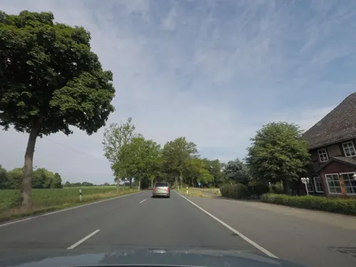
Meilenstein
Monument and historic site · 1.8 km
Hannoverischer Ganzmeilenstein in Eicklingen ID:33738383

Kriegerdenkmal für die Gefallenen des Ersten Weltkriegs
Monument and historic site · 3.1 km
Parks, trails and playgrounds5



Restaurants and cafes22
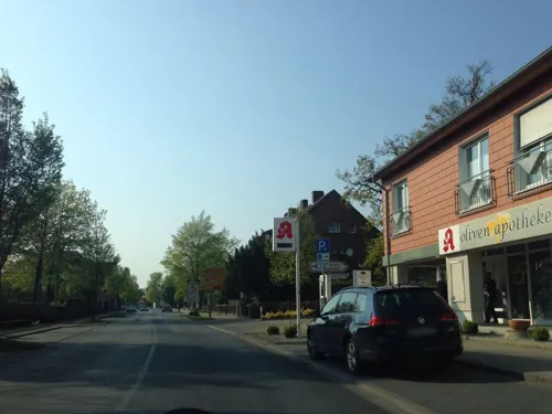
Bei Aldo
Restaurant · Pizza · 3.6 km
8 Herzogin-Agnes-Platz, Nienhagen
Tu-Sa 11:30-14:30, 17:00-22:30; Su 11:30-14:30, 17:00-22:00
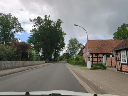

Restaurant Jahnstuben
Restaurant · Croatian · 3.6 km
13 Jahnring, Nienhagen
Mo-Su 11:30-14:30,17:30-23:30
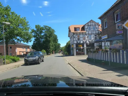
Vietnam Asia Express
Restaurant · Asian, Italian Pizza
31 Schulstraße, Wathlingen
Mo-We 15:00-21:30, Fr-Su 12:00-21:30
vierG Restaurant
Restaurant · Regional
8 Kantallee, Wathlingen
Mo 12:00-14:00; Tu-Fr 12:00-14:00,17:30+; Sa 17:30+; Su 10:00+

Landbäckerei Wittig
Bakery · 3.0 km
33 Mühlenweg, Eicklingen
Mo-Fr 05:30-18:00; Sa 06:00-12:30; Su 08:00-11:00
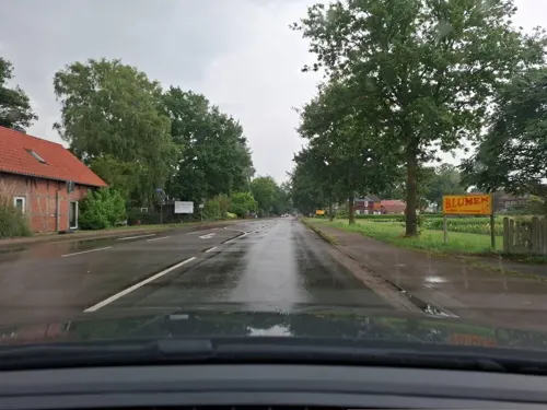
Antik-Café Eicklingen
Cafe · 2.4 km
25 Braunschweiger Straße, Eicklingen
Mo-Fr 13:00-18:00;Sa-Su 12:00-18:00
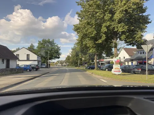
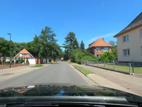
Landbäckerei Wittig
Bakery
2 Hänigser Straße, Wathlingen
Mo-Fr 05:30-18:00; Sa 05:30-15:00; Su 08:00-17:00
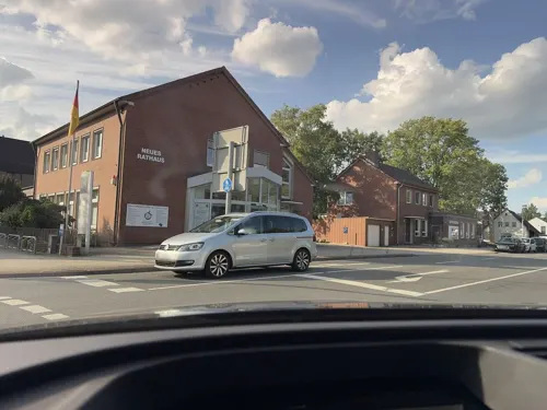
Kiess & Krause
Cafe · 3.8 km
44 Dorfstraße, Nienhagen
Mo-Fr 06:00-16:00; Sa-Su 07:00-16:00
Landgasthaus Jägerhof
Restaurant · 3.6 km
34 Dorfstraße, Nienhagen
Mo, We-Su 11:30-22:00


10 more on the map.
Where to stay4
Wohnmobilstellplatz am Freibad Papenhorst
Campground · 2.4 km
33-35 Nienhagener Straße
Churches and places of worship4
Shopping10
Gas and EV charging2
Schools, colleges and libraries6
Healthcare3
Map of Wathlingen
61 places. The map loads OpenStreetMap tiles when you open it.
Getting there and nearby towns
Hannover Airport (HAJ) is the nearest airport with scheduled flights listed in OpenStreetMap, 33 km away.
- Celle 11 km northwest, about 11 min by car
- Burgdorf 14 km southwest, about 14 min by car
- Hambühren 16 km northwest, about 16 min by car
- Lehrte 22 km southwest, about 22 min by car
- Isernhagen Farster Bauerschaft 22 km west, about 22 min by car
- Peine 25 km south, about 25 min by car
- Wietze 24 km northwest, about 24 min by car
- Gifhorn 28 km east, about 28 min by car
- Bothfeld 27 km southwest, about 27 min by car
- Sehnde 28 km southwest, about 28 min by car
Drive times are estimates from straight-line distance, not routes.
Local news
Headlines from INDB.
Reviews, tips and questions
Loading what members have shared...
Sources and licences
- GeoNames (CC BY 4.0): population, coordinates, regions and time zone
- Mapillary (see each image): photos
- OpenStreetMap contributors (ODbL 1.0): places, airports, map data
- Wikidata (CC0 1.0): elevation, founding date, time zone, website, landmarks and historic places
- Wikimedia Commons (see each image): photos
- Wikipedia (CC BY-SA 4.0): overview and history text
Photo credits
- Rathaus Wathlingen IMG 2847, losch, Attribution
- Kirchstraße 14 in Wathlingen IMG 5751, Losch, CC BY-SA 4.0
- Wathlingen, Kirchstraße 16, Losch, CC BY-SA 4.0
- Wathlingen, Kirchstraße 3, Losch, CC BY-SA 4.0
- Baudenkmal Pfarrhaus Kirchstraße 1 in Wathlingen IMG 5736, Losch, CC BY-SA 4.0
- Baudenkmal Pfarrhaus Kirchstraße 1 in Wathlingen IMG 5734, Losch, CC BY-SA 4.0
- Baudenkmal St. Marienkirche an der Kirchstraße in Wathlingen IMG 5747, Losch, CC BY-SA 4.0
- Baudenkmal St. Marienkirche an der Kirchstraße in Wathlingen IMG 5750, Losch, CC BY-SA 4.0
- Baudenkmal St. Marienkirche an der Kirchstraße in Wathlingen IMG 5731, Losch, CC BY-SA 4.0
- Baudenkmal St. Marienkirche an der Kirchstraße in Wathlingen IMG 5744, Losch, CC BY-SA 4.0
- Baudenkmal Küsterhaus Kirchstraße 4 in Wathlingen IMG 5733, Losch, CC BY-SA 4.0
- Baudenkmal Küsterhaus Kirchstraße 4 in Wathlingen IMG 5732, Losch, CC BY-SA 4.0
- Ortsblick Alter Hof in Wathlingen IMG 5741, Losch, CC BY-SA 4.0
- Ortsblick Am Thie in Wathlingen IMG 5740, Losch, CC BY-SA 4.0
- Baudenkmal Am Thie 1 in Wathlingen IMG 5738, Losch, CC BY-SA 4.0
- Alter Hof 1 in Wathlingen IMG 5742, Losch, CC BY-SA 4.0
- Ortsblick Am Thie in Wathlingen IMG 5739, Losch, CC BY-SA 4.0
- Baudenkmal Am Thie 1a in Wathlingen IMG 5743, Losch, CC BY-SA 4.0
- Wathlingen 2024-6, T. Glorius, CC BY-SA 4.0
- Wathlingen Kali-Berg 2024-6, T. Glorius, CC BY-SA 4.0
- Wathlingen Kali-Berg 2024-6-1, T. Glorius, CC BY-SA 4.0
- Ringwall von Burg Mauer, Benutzer:AxelHH, Public domain
- Naturschutzgebiet Brand (NSG-HA105), Puusterke, CC BY-SA 3.0
- St.Laurentius-Kirche Nienhagen IMG 1412, losch, Attribution
- St.Barbara-Kirche in Wathlingen IMG 5106, Losch, CC BY-SA 4.0
- Weg im Naturschutzgebiet Brand IMG 2709, Losch, CC BY-SA 3.0
- Street-level photo, skjall, CC BY-SA 4.0
- Street-level photo, hotteliene, CC BY-SA 4.0
- Street-level photo, thomersch, CC BY-SA 4.0
- Street-level photo, skjall, CC BY-SA 4.0
- Street-level photo, skjall, CC BY-SA 4.0
- Street-level photo, thomersch, CC BY-SA 4.0
- Street-level photo, moenk, CC BY-SA 4.0
- Street-level photo, mfa, CC BY-SA 4.0
- Street-level photo, Jaschu31311, CC BY-SA 4.0
- Street-level photo, Lechuza, CC BY-SA 4.0
- Street-level photo, mfa, CC BY-SA 4.0
- Street-level photo, tian, CC BY-SA 4.0
- Street-level photo, Lechuza, CC BY-SA 4.0
- Street-level photo, skjall, CC BY-SA 4.0
- Street-level photo, sunnyteater, CC BY-SA 4.0
- Street-level photo, mfa, CC BY-SA 4.0
- Street-level photo, sunnyteater, CC BY-SA 4.0
- Street-level photo, thomersch, CC BY-SA 4.0
- Street-level photo, thomersch, CC BY-SA 4.0
- Street-level photo, hotteliene, CC BY-SA 4.0
- Street-level photo, Lechuza, CC BY-SA 4.0
- Street-level photo, thomersch, CC BY-SA 4.0
- Street-level photo, thomersch, CC BY-SA 4.0
- Street-level photo, skjall, CC BY-SA 4.0


Page built November 9, 2026. Spotted a mistake? Tell us or suggest a place.