


Why visit Bergen
Townapedia lists 44 museums and landmarks, 19 parks and trails, 51 places to eat, 27 places to stay and 24 attractions in and around town.
Highlights include Rabehof, Hofladen Drewes, Gedenkstätte Bergen-Belsen and Großsteingrab Siddernhausen.
Weather in Bergen
Forecast from MET Norway (CC BY 4.0). Full forecast
About Bergen
Bergen (German pronunciation: [ˈbɛʁɡn̩] ; Eastphalian: Bargen) is a town in the north of Celle district on the Lüneburg Heath, in Lower Saxony, Germany. Administratively it acts as a municipal borough divided into 12 subordinate parishes based on the town and its surrounding villages: Becklingen, Belsen, Bergen, Bleckmar, Diesten, Dohnsen, Eversen, Hagen, Hassel, Offen, Sülze and Wardböhmen. Bergen-Belsen concentration camp was located in the area of Belsen.
From the Wikipedia article Bergen, Lower Saxony (this version), under CC BY-SA 4.0.
Travel tips from other travellers: Bergen on Wikivoyage (CC BY-SA 4.0).
Things to do24
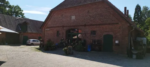

Hofladen Drewes
Farm and orchard · 8.9 km
Mo-Fr 08:00-12:30,14:00-18:00; We 08:00-12:30,14:00-18:30; Sa...



12 more on the map.
Museums and landmarks44


Großsteingrab Siddernhausen
Monument and historic site · 4.7 km
Rekonstruiertes Großsteingrab. Die ursprüngliche Lage war 500 m nördlich.


Sieben Steinhäuser
Monument and historic site · 11.2 km
Group of five dolmens on the Lüneburg Heath, Germany





32 more on the map.
Parks, trails and playgrounds19


Heideflächen mittleres Lüßplateau
Park · 13.4 km
Nature reserve in Lower Saxony, Germany




7 more on the map.
Restaurants and cafes51
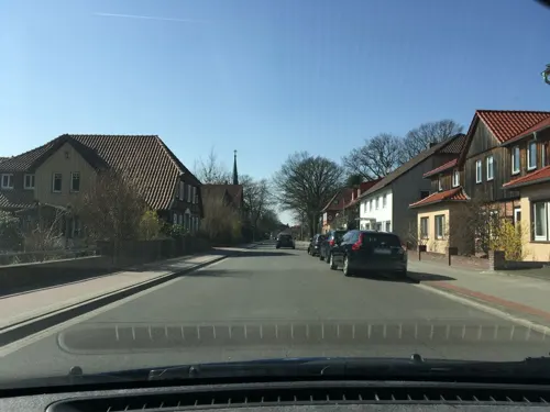
Anderer's Taverna
Restaurant · Italian · 9.3 km
27 Lotharstraße, Südheide
Mo-Tu 17:00-22:00; Fr-Sa 17:00-22:00; Su 11:30-14:30,17:00-22:00;...
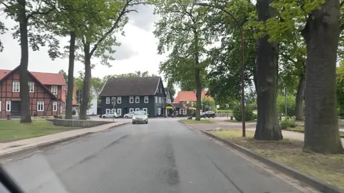
Café & Restaurant Candance
Restaurant · German, Regional, Coffee Shop, Fish · 9.2 km
2 Harmsstraße, Südheide
Tu-Su 11:30-18:00
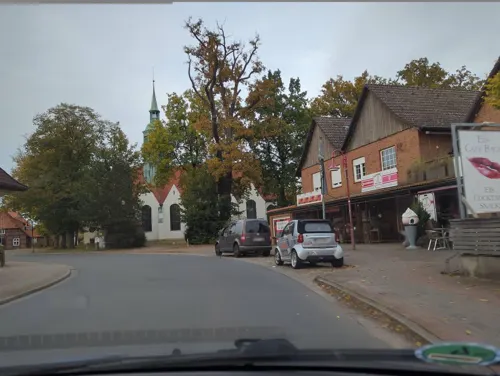
Café Bacio
Cafe · Ice Cream, Coffee Shop, Tea, Pizza, Breakfast, Sandwich · 9.0 km
12 Billingstraße, Südheide
Mo-Sa 09:30-21:00; Su 10:00-21:00
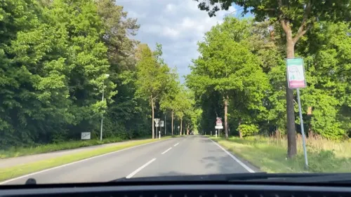
Café-Pension Libelle
Cafe · Cake · 8.5 km
59 Hassel, Bergen
Mo,We,Fr 14:00-16:00; Sa,Su,PH 09:00-12:00
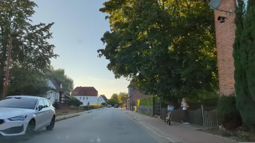
May Mei
Restaurant · Asian · 8.8 km
1 Junkernstraße, Südheide
Tu-Su 11:45-14:30,17:30-21:30; PH Mo 11:45-14:30,17:30-21:30
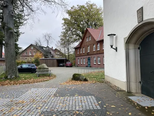
Ohlendorfs Gasthaus
Restaurant · International · 8.9 km
2 Welfenstraße, Südheide
Mo,We,Th,Fr 17:30-21:00; Sa,Su 11:30-14:00,17:30-21:00; PH 17:30-21:00

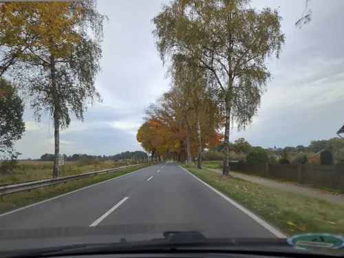




39 more on the map.
History
Bergen was first mentioned in the records in 1197 and was the centre of a legislative and administrative region, the seat of the district sheriff (Amtsvogtei) and, later, the Royal Hanoverian Office. After the annexation of the Kingdom of Hanover by Prussia in 1866 the Amt Bergen, formed in 1852, was incorporated into Fallingbostel district, which had been created in 1867. In the district reorganisation of 1885, the Amt was transferred into the newly formed Celle district.
If the development of Bergen was rather slow during the Middle Ages and the early part of the Modern Age, due mainly to fires in 1354, 1585 and 1796, the agricultural reform in the 19th century and the town's connection to the Celle–Soltau railway led to far-reaching changes. In particular, the creation of the military training area that is today the Bergen-Hohne Training Area in 1935 encouraged the beginning of a period of urbanisation that has led to Bergen's transformation from an agriculturally based village into the small town it is today, characterised by trade and commerce with agriculture having largely lost its significance.
From the History section of Bergen, Lower Saxony on Wikipedia, under CC BY-SA 4.0.
Where to stay27
Churches and places of worship15
Shopping19
Gas and EV charging9
Schools, colleges and libraries16
Fachhochschule für Interkulturelle Theologie Hermannsburg
School · 9.6 km
Healthcare4
Map of Bergen
228 places. The map loads OpenStreetMap tiles when you open it.
Getting there and nearby towns
Hannover Airport (HAJ) is the nearest airport with scheduled flights listed in OpenStreetMap, 43 km away.
- Bad Fallingbostel 19 km west, about 19 min by car
- Hambühren 20 km south, about 20 min by car
- Soltau 21 km northwest, about 21 min by car
- Celle 22 km south, about 22 min by car
- Walsrode 26 km west, about 26 min by car
- Visselhövede 32 km northwest, about 32 min by car
- Schneverdingen 36 km north, about 36 min by car
- Isernhagen Farster Bauerschaft 38 km south, about 38 min by car
- Burgdorf 40 km south, about 40 min by car
- Langenhagen 44 km south, about 44 min by car
Drive times are estimates from straight-line distance, not routes.
Local news
Headlines from INDB.
Reviews, tips and questions
Loading what members have shared...
Sources and licences
- GeoNames (CC BY 4.0): population, coordinates, regions and time zone
- Mapillary (see each image): photos
- OpenStreetMap contributors (ODbL 1.0): places, airports, map data
- Wikidata (CC0 1.0): elevation, founding date, time zone, website, landmarks and historic places
- Wikimedia Commons (see each image): photos
- Wikipedia (CC BY-SA 4.0): overview and history text
Photo credits
- Bergen Rathaus 2, Bermicourt, CC BY-SA 3.0
- Bergen St. Lamberti-Kirche, Hajotthu, CC BY 3.0
- Bergen Römstedthaus, Hajotthu, CC BY 3.0
- Bergen (Landkreis Celle), Kriegerdenkmal, Dguendel, CC BY 4.0
- Bergen (Landkreis Celle), St.-Lamberti-Kirche, Innenansicht, Dguendel, CC BY 4.0
- Bergen alte Eiche, Hajotthu, CC BY 3.0
- Bergen 1000 jrg Eiche, Hajotthu, CC BY 3.0
- Bergen St.Lamberti-Kirche Nordseite, Hajotthu, CC BY 3.0
- Bergen St Lambert 4, Bermicourt, CC BY-SA 3.0
- Bergen Kriegerdenkmal, Hajotthu, CC BY 3.0
- Bergen Altes Postamt, Hajotthu, CC BY 3.0
- Bergen Denkmal Friedensfeier (1), Hajotthu, CC BY 3.0
- Bergen Denkmal Friedensfeier (2), Hajotthu, CC BY 3.0
- Bergen Friedensplatz02, Hajotthu, CC BY 3.0
- Bergen Denkmal Deutsch-Französischer Krieg, Hajotthu, CC BY-SA 3.0
- Bergen Denkmal Friedensfeier (3), Hajotthu, CC BY 3.0
- Bergen Denkmal Friedensf (2), Hajotthu, CC BY 3.0
- Bergen Friedensplatz-20210912- (5), Hajotthu, CC BY-SA 3.0
- Bergen Kriegerdenkmal 1914-1918@20210912, Hajotthu, CC BY-SA 3.0
- Bergen Friedensplatz-20210912- (4), Hajotthu, CC BY-SA 3.0
- Bergen Denkmal Friedensfeier (4), Hajotthu, CC BY 3.0
- Bergen (Landkreis Celle), Haus Deichend 3, Dguendel, CC BY 4.0
- Bergen Gedenkstein 1870 71, Hajotthu, CC BY 3.0
- Bergen Lukenstraße 05, Hajotthu, CC BY 3.0
- Bergen (Landkreis Celle), Café am Museum, Dguendel, CC BY 4.0
- Bergen (Landkreis Celle), die St.-Lamberti-Kirche, Dguendel, CC BY 4.0
- Bergen Rathaus02, Hajotthu, CC BY 3.0
- Bergen Deichend 3@02, Hajotthu, CC BY 3.0
- Rathaus in Bergen Krs. Celle (Townhall of Bergen Krs. Celle) - geo.hlipp.de - 34475, Oxfordian Kissuth on geo.hlipp.de, CC BY-SA 2.0
- Bergen Am Friedensplatz 7 Römstedthaus 01, Hajotthu, CC BY 3.0
- Bergen Lukenstr. 5@02, Hajotthu, CC BY 3.0
- Bergen (Landkreis Celle), im Heimatmuseum Römstedthaus, Bild des alten Postamtes von Albert Bauck, Dguendel, CC BY 4.0
- Bergen (Landkreis Celle), im Heimatmuseum Römstedthaus, Porträt von Friedrich Römstedt, Dguendel, CC BY 4.0
- Bergen (Landkreis Celle), im Heimatmuseum Römstedthaus, eiserner Ofen, Dguendel, CC BY 4.0
- Bergen (Landkreis Celle), inside the museum of local history, living room, Dguendel, CC BY 4.0
- Bergen (Landkreis Celle), im Heimatmuseum Römstedthaus, Küche, Dguendel, CC BY 4.0
- Bergen (Landkreis Celle), im Heimatmuseum Römstedthaus, Bett, Dguendel, CC BY 4.0
- Bergen (Landkreis Celle), im Heimatmuseum Römstedthaus, Vertriebenenwohnung-2, Dguendel, CC BY 4.0
- Bergen (Landkreis Celle), im Heimatmuseum Römstedthaus, Vertriebenenwohnung-3, Dguendel, CC BY 4.0
- Bergen (Landkreis Celle), im Heimatmuseum Römstedthaus, Wohnraum, Dguendel, CC BY 4.0
- Siebensteinhaeuser grab d-2, Jan Herold, CC BY-SA 3.0
- GagelstrauchbestandBornriethmoor, Hajotthu, CC BY 3.0
- BecklgMoorFläche, Hajotthu 11:36, 16. Aug. 2009 (CEST), CC BY-SA 3.0
- HeideblueteTiefental, Hajotthu, CC BY-SA 3.0
- Bonstorf Hügelgräberfeld 03, Hajotthu, CC BY-SA 3.0
- Becklingen War Cemetery Altarstein, Hajotthu, CC BY 3.0
- Siddernhausen Dolmen end view, Bermicourt, CC BY-SA 3.0
- Dokuzentrum KZ Belsen, Hajotthu 11:53, 13. Okt. 2008 (CEST), CC BY-SA 3.0
- Panorama Schießbahn1A, Hajotthu, CC BY-SA 3.0
- Schloss Bredebeck, Hajotthu, CC BY 3.0
- GrosseKreuzkircheHermannsburg, Hajotthu 11:57, 25. Feb. 2008 (CET), CC BY-SA 3.0
- Kleine Kreuzkirche Hermannsburg Aug.2012, Hajotthu, CC BY-SA 3.0
- St.-Peter-Paul-Kirche von 1450 in Hermannsburg IMG 1538, Losch, CC BY-SA 3.0
- Stolperstein Hermannsburg Lutterweg 16 Agnes Timme, Tomtom10, CC BY-SA 4.0
- Hermannsburg Auferstehungskirche, Kirchenfan, CC0
- Fabian-und-Sebastian-Kirche Sülze 3, Hajotthu, CC BY-SA 3.0
- Bergen Suehnekirche, Kirchenfan, CC0
- Außenanlage des Heimatmuseum Hermannsburg IMG 1531, Losch, CC BY-SA 3.0
- Street-level photo, hotteliene, CC BY-SA 4.0
- Street-level photo, hotteliene, CC BY-SA 4.0
- Street-level photo, hotteliene, CC BY-SA 4.0
- Street-level photo, hotteliene, CC BY-SA 4.0
- Street-level photo, hotteliene, CC BY-SA 4.0
- Street-level photo, hotteliene, CC BY-SA 4.0
- Street-level photo, hotteliene, CC BY-SA 4.0
- Street-level photo, hotteliene, CC BY-SA 4.0
- Street-level photo, hotteliene, CC BY-SA 4.0
- Street-level photo, hotteliene, CC BY-SA 4.0
- Street-level photo, hotteliene, CC BY-SA 4.0
- Street-level photo, ber319, CC BY-SA 4.0
- Street-level photo, hotteliene, CC BY-SA 4.0
- Street-level photo, hotteliene, CC BY-SA 4.0
- Street-level photo, hotteliene, CC BY-SA 4.0
- Street-level photo, hotteliene, CC BY-SA 4.0
- Street-level photo, hotteliene, CC BY-SA 4.0
- Street-level photo, hotteliene, CC BY-SA 4.0
- Street-level photo, hotteliene, CC BY-SA 4.0
- Street-level photo, hotteliene, CC BY-SA 4.0


Page built November 8, 2026. Spotted a mistake? Tell us or suggest a place.