


Why visit Sarstedt
Townapedia lists 23 museums and landmarks, 25 parks and trails, 54 places to eat, 18 places to stay and 11 attractions in and around town.
Highlights include Erdbeer-Hof Gleidingen, Delmberg, Haus am Junkernhof and Kirchenanlage und Stümpelhof.
Weather in Sarstedt
Forecast from MET Norway (CC BY 4.0). Full forecast
About Sarstedt
Sarstedt (German pronunciation: [ˈzaːɐ̯ʃtɛt] ) is a town in the district of Hildesheim, Lower Saxony, Germany. It has approximately 18,500 inhabitants. Sarstedt is situated 20 km south of Hanover and 10 km north of Hildesheim. Sarstedt station is on the Hanoverian Southern Railway and is served by the Hanover S-Bahn.
From the Wikipedia article Sarstedt (this version), under CC BY-SA 4.0.
Things to do11




Museums and landmarks23


Kirchenanlage und Stümpelhof
Monument and historic site · 4.3 km
Ensemble um die Kirchenanlage und die große Hofanlage. Erstmals erwähnt im 9. Jahrundert


11 more on the map.
Parks, trails and playgrounds25



Innerstebad Sarstedt
Sports field and stadium
7 Steinstraße, Sarstedt
Tu-Sa 06:00-20:00; Su 08:00-20:00; Mo 10:00-20:00






13 more on the map.
Restaurants and cafes54
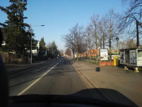
Il Palio
Restaurant · Italian
10 An der Straßenbahn, Sarstedt
Tu-Fr, Su 12:00-15:00; Tu-Su 18:00-23:00
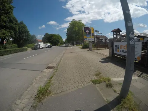
NALI Nali Vietnamesisches Restaurant & Sushi Bar
Restaurant · Vietnamese, Sushi · 0.6 km
46A Hildesheimer Straße, Sarstedt
Mo-Su 11:00-22:00
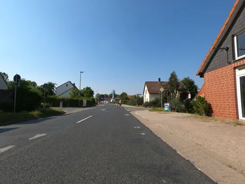
Bei Ania
Restaurant · Greek · 5.5 km
19a Gleidinger Straße, Laatzen
We-Th 16:30-21:00; Fr-Sa 16:30-22:00; Su 16:00-20:30; Mo-Tu off
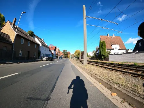
La Rocca
Restaurant · Italian · 3.9 km
572 Hildesheimer Straße
Tu-Sa 17:00-22:30; Su 12:00-15:00,17:00-22:30
Taverne Amalthia
Restaurant · Greek · 1.3 km
Lieferservice: Di.-So. 17:00-22:00 Uhr
89 Wellweg, Sarstedt
Tu-Sa 17:00-23:00; Su 12:00-15:00, 17:00-22:00

Öz Baba Clubhaus
Restaurant · 5.5 km
1 Am Waldstadion, Giesen
Mo off; Tu-Fr 16:30-22:00; Sa-Su 13:00-22:00
Bäckerei Volkmann
Bakery · 4.3 km
Mo-We 06:30-17:00, Th-Fr 06:30-17:30, Sa 07:00-12:30, Su 08:00-10:30

Café Klatsch
Cafe · Bakery
20 Steinstraße, Sarstedt
Mo-Fr 06:00-18:00; Sa 06:30-14:00; Su 08:00-14:00

Eiscafé Ostertor
Cafe · Ice Cream
42 Steinstraße, Sarstedt
Tu-Su 10:30-19:00


42 more on the map.
Where to stay18
Churches and places of worship32
Sankt Maria Mutter der Kirche
Church · Roman Catholic · 2.1 km
2 Kirchstraße, Giesen
Shopping17
Gas and EV charging11
Schools, colleges and libraries14
Healthcare5
Map of Sarstedt
210 places. The map loads OpenStreetMap tiles when you open it.
Getting there and nearby towns
Hannover Airport (HAJ) is the nearest airport with scheduled flights listed in OpenStreetMap, 28 km away.
- Hildesheim 11 km southeast, about 11 min by car
- Sehnde 12 km northeast, about 12 min by car
- Wettbergen 15 km northwest, about 15 min by car
- Hannover 17 km northwest, about 17 min by car
- Wennigsen 20 km west, about 20 min by car
- Springe 21 km west, about 21 min by car
- Ahlem 20 km northwest, about 20 min by car
- Seelze 25 km northwest, about 25 min by car
- Salzhemmendorf 26 km southwest, about 26 min by car
- Bockenem 31 km southeast, about 31 min by car
Drive times are estimates from straight-line distance, not routes.
Local news
Headlines from INDB.
Reviews, tips and questions
Loading what members have shared...
Sources and licences
- GeoNames (CC BY 4.0): population, coordinates, regions and time zone
- Mapillary (see each image): photos
- OpenStreetMap contributors (ODbL 1.0): places, airports, map data
- Wikidata (CC0 1.0): elevation, founding date, time zone, website
- Wikimedia Commons (see each image): photos
- Wikipedia (CC BY-SA 4.0): overview and history text
Photo credits
- Bahnhof Sarstedt rIMG 4784, losch, Attribution
- Weberstraße 24 - 20, 3, Sarstedt, Landkreis Hildesheim, GeorgDerReisende, CC BY-SA 4.0
- Engestraße 2, 1, Sarstedt, Landkreis Hildesheim, GeorgDerReisende, CC BY-SA 4.0
- Weberstraße 10, 1, Sarstedt, Landkreis Hildesheim, GeorgDerReisende, CC BY-SA 4.0
- Weberstraße 20, 2, Sarstedt, Landkreis Hildesheim, GeorgDerReisende, CC BY-SA 4.0
- Ortsblick in Sarstedt IMG 9251, Losch, CC BY-SA 3.0
- Sarstedt, Hahnenstein Ecke Steinstraße 0456, Gerd Fahrenhorst, CC BY 4.0
- Sarstedt, Hahnenstein Ecke Steinstraße 0457, Gerd Fahrenhorst, CC BY 4.0
- Weberstraße 22, 2, Sarstedt, Landkreis Hildesheim, GeorgDerReisende, CC BY-SA 4.0
- Weberstraße 2, 2, Sarstedt, Landkreis Hildesheim, GeorgDerReisende, CC BY-SA 4.0
- Backsteinanbau von 1822 am Rathaus in Sarstedt IMG 9249, Losch, CC BY-SA 3.0
- Weberstraße 24, 2, Sarstedt, Landkreis Hildesheim, GeorgDerReisende, CC BY-SA 4.0
- Ortsblick Steinstraße mit Ratsapotheke in Sarstedt IMG 9247, Losch, CC BY-SA 3.0
- Weberstraße 2, 1, Sarstedt, Landkreis Hildesheim, GeorgDerReisende, CC BY-SA 4.0
- Weberstraße 24 - 20, 1, Sarstedt, Landkreis Hildesheim, GeorgDerReisende, CC BY-SA 4.0
- Rathaus von 1799 in Sarstedt IMG 9250, Losch, CC BY-SA 3.0
- Sparkasse Sarstedt 0455, Gerd Fahrenhorst, CC BY 4.0
- Steinstraße 21, 1, Sarstedt, Landkreis Hildesheim, GeorgDerReisende, CC BY-SA 4.0
- Weberstraße, 2, Sarstedt, Landkreis Hildesheim, GeorgDerReisende, CC BY-SA 4.0
- Weberstraße 28, 1, Sarstedt, Landkreis Hildesheim, GeorgDerReisende, CC BY-SA 4.0
- Stolpersteinlage, 2, Steinstraße 21, Sarstedt, Landkreis Hildesheim, GeorgDerReisende, CC BY-SA 4.0
- Stolperstein Fritz Liebmann, 1, Steinstraße 21, Sarstedt, Landkreis Hildesheim, GeorgDerReisende, CC BY-SA 4.0
- Stolperstein Marion Liebmann, 1, Steinstraße 21, Sarstedt, Landkreis Hildesheim, GeorgDerReisende, CC BY-SA 4.0
- Stolperstein Alice Liebmann, 1, Steinstraße 21, Sarstedt, Landkreis Hildesheim, GeorgDerReisende, CC BY-SA 4.0
- Stolpersteinlage, 1, Steinstraße 21, Sarstedt, Landkreis Hildesheim, GeorgDerReisende, CC BY-SA 4.0
- Steinstraße 47, 1, Sarstedt, Landkreis Hildesheim, GeorgDerReisende, CC BY-SA 4.0
- Steinstraße 47, 2, Sarstedt, Landkreis Hildesheim, GeorgDerReisende, CC BY-SA 4.0
- Ortsblick Steinstraße in Sarstedt IMG 9248, Losch, CC BY-SA 3.0
- Stadtmauerrest, 1, Steinstraße, Sarstedt, Landkreis Hildesheim, GeorgDerReisende, CC BY-SA 4.0
- Weberstraße, 1, Sarstedt, Landkreis Hildesheim, GeorgDerReisende, CC BY-SA 4.0
- Kirchplatz 2, 1, Sarstedt, Landkreis Hildesheim, GeorgDerReisende, CC BY-SA 4.0
- Hahnenstein 9, 1, Sarstedt, Landkreis Hildesheim, GeorgDerReisende, CC BY-SA 4.0
- Vor der Kirche, 1, Sarstedt, Landkreis Hildesheim, GeorgDerReisende, CC BY-SA 4.0
- Brunnen, 1, Vor der Kirche, Sarstedt, Landkreis Hildesheim, GeorgDerReisende, CC BY-SA 4.0
- Stolpersteinlage, 1, Steinstraße 13, Sarstedt, Landkreis Hildesheim, GeorgDerReisende, CC BY-SA 4.0
- Stolperstein Milian Aschenbrandt, 1, Steinstraße 13, Sarstedt, Landkreis Hildesheim, GeorgDerReisende, CC BY-SA 4.0
- Vor der Kirche 5, 1, Sarstedt, Landkreis Hildesheim, GeorgDerReisende, CC BY-SA 4.0
- Stolperstein Ruth Aschenbrandt, 1, Steinstraße 13, Sarstedt, Landkreis Hildesheim, GeorgDerReisende, CC BY-SA 4.0
- Stolperstein Sally Aschenbrandt, 1, Steinstraße 13, Sarstedt, Landkreis Hildesheim, GeorgDerReisende, CC BY-SA 4.0
- Stolperstein Helene Aschenbrandt, 1, Steinstraße 13, Sarstedt, Landkreis Hildesheim, GeorgDerReisende, CC BY-SA 4.0
- NSG Ahrberger Holz Groß Förster Holz 1, Lotte76, CC BY-SA 3.0
- 2015 GEO 600, Oge oval, CC BY-SA 4.0
- Leine bei Koldingen, Den man tau, CC BY-SA 3.0
- Naturschutzgebiet Entenfang (bei Giesen) (3), Lotte76, CC BY-SA 4.0
- Sarstedt Heilig-Geist Portalseite, Rabanus Flavus, CC BY-SA 3.0
- Wehmholz vom Wehmberg, Den man tau, CC BY-SA 4.0
- Ruthe Kirche kath, Kirchenfan, CC0
- Ahrbergen Kirche Maria mit Turm, Kirchenfan, CC0
- Gross Giesen Kirche, Kirchenfan, CC0
- Giesen StMartin, Rabanus Flavus, Public domain
- Delmer Berg, Den man tau, CC BY-SA 4.0
- Wehmberg 2018, Den man tau, CC BY-SA 3.0
- Jeinsen St. Georg 01, ErwinMeier, CC BY-SA 4.0
- Kirche Barnten Nordstemmen, Clemensfranz, CC BY-SA 4.0
- St.-Nicolai-Kirche in Ingeln-Oesselse (Laatzen) IMG 9296, Losch, CC BY-SA 3.0
- Kirchstraße 10 Hotteln Sarstedt, Clemensfranz, CC BY-SA 4.0
- Kirchstraße 11 Hotteln Sarstedt 03, Clemensfranz, CC BY-SA 4.0
- Sarstedt Hotteln Kirche, Clemensfranz, CC BY-SA 3.0
- Gross Förste, die katholische Kirche Sankt Pankratius IMG 4626 2018-07-02 11.52, Michielverbeek, CC BY-SA 4.0
- Street-level photo, raspberry, CC BY-SA 4.0
- Street-level photo, mfa, CC BY-SA 4.0
- Street-level photo, Langfahrer, CC BY-SA 4.0
- Street-level photo, Hightower-, CC BY-SA 4.0
- Street-level photo, raspberry, CC BY-SA 4.0
- Street-level photo, Langfahrer, CC BY-SA 4.0
- Street-level photo, hotteliene, CC BY-SA 4.0
- Street-level photo, hotteliene, CC BY-SA 4.0
- Street-level photo, Langfahrer, CC BY-SA 4.0
- Street-level photo, Langfahrer, CC BY-SA 4.0
- Street-level photo, Langfahrer, CC BY-SA 4.0
- Street-level photo, Langfahrer, CC BY-SA 4.0
- Street-level photo, hotteliene, CC BY-SA 4.0
- Street-level photo, hotteliene, CC BY-SA 4.0
- Street-level photo, hotteliene, CC BY-SA 4.0
- Street-level photo, Langfahrer, CC BY-SA 4.0
- Street-level photo, Langfahrer, CC BY-SA 4.0
- Street-level photo, Langfahrer, CC BY-SA 4.0
- Street-level photo, Hightower-, CC BY-SA 4.0
- Street-level photo, Langfahrer, CC BY-SA 4.0
- Street-level photo, Langfahrer, CC BY-SA 4.0
- Street-level photo, Langfahrer, CC BY-SA 4.0


Page built November 8, 2026. Spotted a mistake? Tell us or suggest a place.