


Why visit Lienen
Townapedia lists 41 museums and landmarks, 37 parks and trails, 86 places to eat, 21 places to stay and 38 attractions in and around town.
Highlights include Borgberg, Dörenberg, Averbecks Speicher and Burg Scheventorf.
Weather in Lienen
Forecast from MET Norway (CC BY 4.0). Full forecast
About Lienen
Lienen (German pronunciation: [ˈliːnən]; Westphalian: Linen) is a municipality in the district of Steinfurt, in North Rhine-Westphalia, Germany. It is situated approximately 15 km south-east of Osnabrück and 30 km north-east of Münster.
From the Wikipedia article Lienen (this version), under CC BY-SA 4.0.
Things to do38





26 more on the map.
Museums and landmarks41


Burg Scheventorf
Monument and historic site · 3.8 km
Ehemalige Wasserburg; ehemaliges Rittergut
55 Scheventorf




29 more on the map.
Parks, trails and playgrounds37





25 more on the map.
Restaurants and cafes86
Caesaro Pizzeria
Restaurant · Pizza, Pasta, Salad, Burger · 5.2 km
2 Martinistraße, Hagen am Teutoburger Wald
Mo-Sa 17:00-22:00; Su 17:00-21:30
Die Försterei am Baumwipfelpfad
Restaurant · German · 3.9 km
2 Philipp-Sigismund-Allee, Bad Iburg
Mo,Th,Fr 17:00+; Sa,Su 11:30+

Enigma Gyros Resto
Restaurant · Greek · 4.4 km
1 Forellental, Hagen am Teutoburger Wald
Th-Tu 17:00-21:00
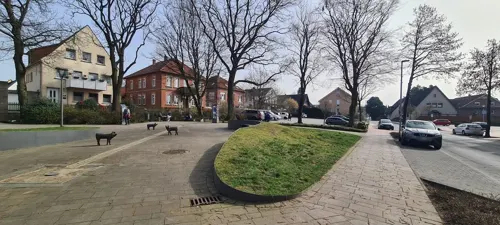
FachWerk
Restaurant · Burger, German, Noodles, Sushi · 5.2 km
2 Dorfstraße, Hagen am Teutoburger Wald
We-Su 17:00+

Feinbäckerei & Stadtcafe Große-Rechtien
Cafe · Coffee Shop, Cake · 4.3 km
21 Große Straße, Bad Iburg
Mo-Su,PH 06:30-18:00
Gasthaus Beckmanns
Restaurant · Burger, German · 5.2 km
11 Dorfstraße, Hagen am Teutoburger Wald
We-Su 17:00+
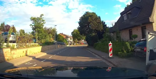
Hagn's Restaurant & Bar
Restaurant · Burger, Fish, Noodles, Steak House · 5.1 km
10 Alte Straße, Hagen am Teutoburger Wald
Su, Tu-Th 17:00-22:00; Fr-Sa 17:00-02:00
Malepartus
Restaurant · German (Bavarian) · 1.0 km
6 Malepartusweg, Lienen
Mo-Fr 12:00-22:00; Sa-Su 11:00-22:00
Restaurant zum Forellental
Restaurant · Seafood, Regional · 3.9 km
7 Forellental, Hagen am Teutoburger Wald
We-Fr 17:00-22:00; Sa-Su 11:00-22:00
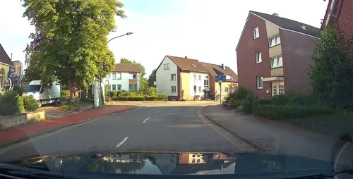


Ristorante Da Pino
Restaurant · Fish, Italian, Pasta, Pizza · 5.1 km
3 Iburger Straße, Hagen am Teutoburger Wald
Tu-Su 12:00-14:00, 17:30-23:00
Woods Restaurant im Schützenhaus
Restaurant · Regional · 6.7 km
10 Schützenstraße, Georgsmarienhütte
We-Sa 17:00+; Su 15:00+

Bäckerei Schmidt
Bakery · 5.2 km
2a Dorfstraße, Hagen am Teutoburger Wald
Mo-Fr 05:30-18:00; Sa 06:30-17:00; Su 07:30-17:00
74 more on the map.
Where to stay21
Landhotel Buller
Motel and hotel · 3.7 km
35 Iburger Straße, Hagen am Teutoburger Wald
Churches and places of worship20
Mariä Himmelfahrt
Church · Roman Catholic · 6.2 km
1 Kirchstraße, Hagen am Teutoburger Wald
Shopping30
Buongusto Italian Feinkost
Shop · 5.3 km
3 Osnabrücker Straße, Hagen am Teutoburger Wald
Gas and EV charging8
Schools, colleges and libraries16
Bücherei St. Mariä Himmelfahrt
Library · 6.2 km
3 Kirchstraße, Hagen am Teutoburger Wald
Grundschule Marienschule kath.
School · 7.0 km
17a Drosselstieg, Georgsmarienhütte
Healthcare7
Martinus Apotheke
Clinic and pharmacy · 5.2 km
9 Dorfstraße, Hagen am Teutoburger Wald
Map of Lienen
250 places. The map loads OpenStreetMap tiles when you open it.
Getting there and nearby towns
Münster Osnabrück Airport (FMO) is the nearest airport with scheduled flights listed in OpenStreetMap, 21 km away.
- Bad Iburg 4 km east, about 4 min by car
- Georgsmarienhütte 7 km northeast, about 7 min by car
- Glandorf 7 km south, about 7 min by car
- Bad Laer 9 km southeast, about 9 min by car
- Lengerich 9 km northwest, about 9 min by car
- Hasbergen 10 km north, about 10 min by car
- Hilter 11 km east, about 11 min by car
- Bad Rothenfelde 13 km east, about 13 min by car
- Osnabrück 15 km north, about 15 min by car
- Tecklenburg 14 km northwest, about 14 min by car
Drive times are estimates from straight-line distance, not routes.
Local news
Headlines from INDB.
Reviews, tips and questions
Loading what members have shared...
Sources and licences
- GeoNames (CC BY 4.0): population, coordinates, regions and time zone
- Mapillary (see each image): photos
- OpenStreetMap contributors (ODbL 1.0): places, airports, map data
- Wikidata (CC0 1.0): elevation, founding date, time zone, website
- Wikimedia Commons (see each image): photos
- Wikipedia (CC BY-SA 4.0): overview and history text
Photo credits
- Kirche NRW Lienen Evangelidsche Kirche, Claudi-chan123, CC BY-SA 3.0
- Lienen Hohes Haus 02, Jan-Herm Janßen, CC BY-SA 4.0
- Lienen Hohes Haus 03, J.-H. Janßen, CC BY-SA 4.0
- Lienen Diekesdamm 1 Haus des Gastes 02, Jan-Herm Janßen, CC BY-SA 4.0
- Lienen Zum Teich 1 Altes Farmhaus 01, J.-H. Janßen, CC BY-SA 4.0
- Lienen Zum Teich 1 Altes Farmhaus 02, J.-H. Janßen, CC BY-SA 4.0
- SilberbergPinge, Christian Rüger, CC BY 3.0
- BadIburgBurgScheventorfMaerz2008, MrsMyer, CC BY-SA 3.0
- LimbergTeutoburgerWald25122007, MrsMyer, CC BY-SA 3.0
- DoerenbergMentrup, Christian Rüger, CC BY-SA 3.0
- LutherkircheGeorgsmarienhuette01, E. S. Myer / Sir James, CC BY-SA 2.0 de
- Lienen, evangelische Kirche, Rauenstein, Public domain
- Glane, katholische Kirche St. Jakobus der Ältere, Rauenstein, Public domain
- Fleckenskirche St. Nikolaus (Bad Iburg) 07a, Chris06, CC BY-SA 4.0
- Bad Iburg - Freeden -BT- 01, Basotxerri, CC BY-SA 4.0
- Aerial image of Iburg Castle (view from the south), Carsten Steger, CC BY-SA 4.0
- BadIburgHagenbergKalkschichten, E. S.Myer, CC BY-SA 2.0 de
- DörenbergHermannsturm, MrsMyerDE, CC BY-SA 3.0
- BadIburgUhrenmuseum, MrsMyerDE, CC BY-SA 3.0
- DörenbergHannVermessungsstein retouched, MrsMyerDE, CC BY-SA 3.0
- Lengerich, Hohne, Evangelische Kirche -- 2014 -- 9752 -- Ausschnitt, Dietmar Rabich, CC BY-SA 4.0
- Hagen-Natrup, Kirche Mariä Himmelfahrt - panoramio, Dewi König, CC BY-SA 3.0
- Bad Iburg Schlosskirche St. Clemens (1), Chris06, CC BY-SA 4.0
- Bardenburg, Der Westwall des Kernwerks von Süden, Castritus, CC BY-SA 4.0
- Stolperstein Gustav Görsmann, Ameisenigel, CC BY-SA 4.0
- Lienen, katholische Kirche, Rauenstein, CC BY-SA 3.0
- BadIburgGlaneAverdiekAnlage, MrsMyerDE, CC BY-SA 3.0
- Stolperstein Alex Plogmann, Ameisenigel, CC BY-SA 4.0
- Waldmeister-Buchenwald--Intruper-Berg3, ArndTillmann, CC BY-SA 4.0
- Fleckenskirche St. Nikolaus (Bad Iburg) 07, Chris06, CC BY-SA 4.0
- Hagen aTW Borgberg 0004, Christianrueger, CC BY-SA 4.0
- Panorama Lammersbrink 180° WNE, ThomasLieven, CC BY-SA 3.0
- Street-level photo, thorstenh, CC BY-SA 4.0
- Street-level photo, thetornado76, CC BY-SA 4.0
- Street-level photo, kgvx, CC BY-SA 4.0
- Street-level photo, kgvx, CC BY-SA 4.0
- Street-level photo, changchun1, CC BY-SA 4.0
- Street-level photo, DeFra85, CC BY-SA 4.0
- Street-level photo, thetornado76, CC BY-SA 4.0
- Street-level photo, kgvx, CC BY-SA 4.0
- Street-level photo, kgvx, CC BY-SA 4.0
- Street-level photo, amenophis, CC BY-SA 4.0
- Street-level photo, thetornado76, CC BY-SA 4.0
- Street-level photo, amenophis, CC BY-SA 4.0
- Street-level photo, kgvx, CC BY-SA 4.0
- Street-level photo, amenophis, CC BY-SA 4.0
- Street-level photo, thetornado76, CC BY-SA 4.0
- Street-level photo, changchun1, CC BY-SA 4.0
- Street-level photo, amenophis, CC BY-SA 4.0


Page built November 9, 2026. Spotted a mistake? Tell us or suggest a place.