


Georgsmarienhütte, Germany
Georgsmarienhütte is a town of 31,244 people in Lower Saxony, Germany, founded in 1856.
Why visit Georgsmarienhütte
Townapedia lists 145 museums and landmarks, 54 parks and trails, 151 places to eat, 20 places to stay and 69 attractions in and around town.
Highlights include Zoo Osnabrück, Hof-Laden Hauswörmann, Museum am Schölerberg and Augustaschacht.
Weather in Georgsmarienhütte
Forecast from MET Norway (CC BY 4.0). Full forecast
About Georgsmarienhütte
Georgsmarienhütte (German pronunciation: [ɡeːɔʁksmaˈʁiːənˌhʏtə] ) is a town in the district of Osnabrück, in Lower Saxony, Germany. It is situated in the Teutoburg Forest, approx. 7 km south of Osnabrück.
From the Wikipedia article Georgsmarienhütte (this version), under CC BY-SA 4.0.
Photos of Georgsmarienhütte


Things to do69

Zoo Osnabrück
Zoo and aquarium · 5.5 km
Zoo in Germany
12 Klaus-Strick-Weg, Osnabrück
Mar Su[-1]-Oct Su[-1] -1 day: 08:00-18:30; Oct Su[-1]-Mar Su[-1]...
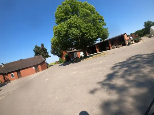
Hof-Laden Hauswörmann
Farm and orchard · 4.8 km
165 Hauswörmannsweg, Osnabrück
Mo-Sa 09:00-18:00; Su,PH 10:00-16:00

Theater Osnabrück
Cinema and theater · 8.2 km
Multi-discipline theater in Osnabrück, Germany




57 more on the map.
Museums and landmarks145

Museum am Schölerberg
Museum · 5.4 km
Museum für Natur und Umwelt, Planetarium
10 Klaus-Strick-Weg, Osnabrück
Tu 09:00-20:00, We 09:00-18:00, Th 10:00-18:00, Fr 09:00-18:00, Sa...


Felix Nussbaum Haus
Museum · 8.0 km
Museum dedicated to Felix Nussbaum in Osnabrück, Germany


Großsteingrab Nahne 1
Monument and historic site · 5.3 km
Aus den Steinen des Grabes wurde ein Denkmal für die Gefallenen des 1. Weltkriegs gebaut; das eigentliche Großsteingrab ist völlig...




133 more on the map.
Parks, trails and playgrounds54




42 more on the map.
Restaurants and cafes151
Caesaro Pizzeria
Restaurant · Pizza, Pasta, Salad, Burger · 4.5 km
2 Martinistraße, Hagen am Teutoburger Wald
Mo-Sa 17:00-22:00; Su 17:00-21:30
Die Försterei am Baumwipfelpfad
Restaurant · German · 4.6 km
2 Philipp-Sigismund-Allee, Bad Iburg
Mo,Th,Fr 17:00+; Sa,Su 11:30+
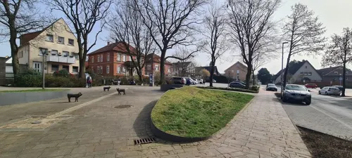
FachWerk
Restaurant · Burger, German, Noodles, Sushi · 4.4 km
2 Dorfstraße, Hagen am Teutoburger Wald
We-Su 17:00+
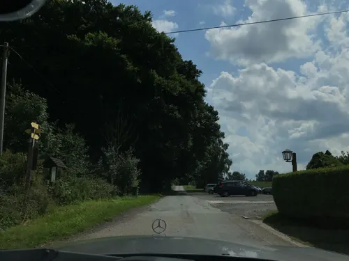
Gasthaus Jägerberg
Restaurant · Burger, Cake, Fish, German, Local, Regional · 5.5 km
40 Zum Jägerberg, Hagen am Teutoburger Wald
Th-Fr 17:00-22:00; Sa 14:00-22:00; Su 11:30-18:00
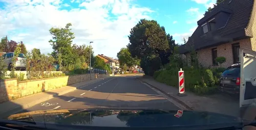
Hagn's Restaurant & Bar
Restaurant · Burger, Fish, Noodles, Steak House · 4.3 km
10 Alte Straße, Hagen am Teutoburger Wald
Su, Tu-Th 17:00-22:00; Fr-Sa 17:00-02:00
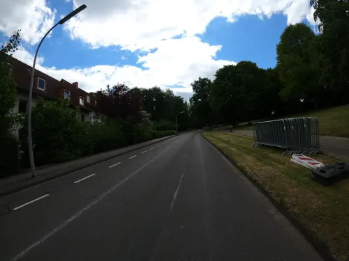
PontosPark
Restaurant · Greek · 6.0 km
56 Hauswörmannsweg, Osnabrück
Tu-Sa 17:00-22:00; Su 11:30-14:00,17:00-22:00
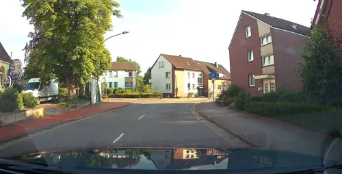
Ristorante Da Pino
Restaurant · Fish, Italian, Pasta, Pizza · 4.5 km
3 Iburger Straße, Hagen am Teutoburger Wald
Tu-Su 12:00-14:00, 17:30-23:00

Enigma Gyros Resto
Restaurant · Greek · 4.8 km
1 Forellental, Hagen am Teutoburger Wald
Th-Tu 17:00-21:00

Feinbäckerei & Stadtcafe Große-Rechtien
Cafe · Coffee Shop, Cake · 5.2 km
21 Große Straße, Bad Iburg
Mo-Su,PH 06:30-18:00
Gasthaus Beckmanns
Restaurant · Burger, German · 4.5 km
11 Dorfstraße, Hagen am Teutoburger Wald
We-Su 17:00+
Restaurant zum Forellental
Restaurant · Seafood, Regional · 4.9 km
7 Forellental, Hagen am Teutoburger Wald
We-Fr 17:00-22:00; Sa-Su 11:00-22:00
139 more on the map.
History
In 1856 the company "Georgs-Marien-Bergwerks- und Hüttenverein" was founded to erect an iron and steel works in the municipality of Malbergen. It was named after King George V of Hanover who supported industrial development, and his wife Marie. The workers’ housing estates grew and developed to the municipality Georgsmarienhütte. Malbergen became part of Georgsmarienhütte in 1937. In 1970, the municipalities Oesede, Kloster Oesede, Harderberg, Holsten-Mündrup, the southern part of Holzhausen and the "industrial village" Georgsmarienhütte were united to the city Georgsmarienhütte.
The iron and steel works were one of the most important employers south of Osnabrück, employing several thousand people. Since 1923 it belonged to Klöckner Werke AG which suffered severely from the steel crises of the 1990s. In 1993, Klöckner manager Jürgen Großmann bought the steel works for a symbolic amount of money and transformed it to an efficient company which is one of the leading high-grade steel producers in Europe.
Read more of the history
The most important historical building is the church of former convent Kloster Oesede dating from the 12th century. The Benedictine convent was founded by count Ludolf von Oesede (d. 1184) and his wife Thedela for which he donated his castle complex in the first half of the century. The convent gave its name as well to the former settlement Sutorpe. Kloster Oesede now is a part of the city Georgsmarienhütte. The convent was the first one in the district of Osnabrück. The convent’s first prior was Ludolf’s eldest daughter Goda. On January, 15th 1170 conventional life began. The convent became wealthy within the centuries by donations and the nuns' labour. It existed until 1803 when it was secularisated by the Reichsdeputationshauptschluss. The convent buildings from the Middle Ages were taken down between 1790 and 1803. Only the Alte Abtei (Old Abbey) remained. A new two-storey building was erected by Alexander Ludwig von Corvey (1670–1728) in 1723. It still exists and is used for partly parish and school purposes. The former convent’s church in which the donator count Ludolf and his wife were buried now is the Roman Catholic parish church St. Johann. A remarkable detail of the church is the Hagioscope which allowed lepers to join the service from outside. Another hagioscope was exposed nearby in St. Clemens, the monastery’s church in Bad Iburg.
From the History section of Georgsmarienhütte on Wikipedia, under CC BY-SA 4.0.
More about Georgsmarienhütte
Education
All of the types of German grammar schools are represented in the city. In addition to a folk high school, two boarding schools provide adult education in special courses which usually last a few days.
From the Wikipedia article Georgsmarienhütte, under CC BY-SA 4.0.
Notable people from Georgsmarienhütte
 Silke SpiegelburgGerman pole vaulterPhoto: Augustas Didžgalvis, CC BY-SA 4.0
 Daniel ThiouneGerman footballer and managerPhoto: Fuguito, CC BY 4.0
 Richard SpiegelburgGerman pole vaulterPhoto: א (Aleph), CC BY-SA 2.5
 Gerrit NauberGerman association football playerPhoto: Carlo Bruil Fotografie, CC BY 2.0
 Margarete JürgensGerman painter (1899-1981)Photo: Bernd Schwabe, CC BY-SA 4.0
 Angelika DubinskiGerman figure skaterPhoto: EisfotoHella, CC BY 3.0
 Jonas PohlmannresearcherPhoto: Felix.knemeyer, CC BY-SA 4.0
 Oliver Zapelassociation football playerPhoto: Silesia711, CC BY-SA 4.0
 Christoph BockPrincipal Investigator and Visiting Professor at the Medical University of ViennaPhoto: Christiana N. Fogg, Diane E. Kovats..., CC BY 4.0
- Walther KranzGerman classicist and educationist (1884–1960); affiant in the Einsatzgruppen Trial (NMT 9)
- Susanne AlbersGerman theoretical computer scientist
- Christine AdamsGerman pole vaulter
Born in Georgsmarienhütte, according to Wikidata (CC0). Each name links to its Wikipedia article.
Where to stay20
Landhotel Buller
Motel and hotel · 4.0 km
35 Iburger Straße, Hagen am Teutoburger Wald
Churches and places of worship35
St. Peter und Paul
Church · Catholic · 1.4 km
72 Oeseder Straße, Georgsmarienhütte
Shopping44
Gas and EV charging22
Schools, colleges and libraries32
Healthcare13
Kinderhospital Osnabrück
Hospital · 5.6 km
187 Iburger Straße, Osnabrück
Martinus Apotheke
Clinic and pharmacy · 4.4 km
9 Dorfstraße, Hagen am Teutoburger Wald
Map of Georgsmarienhütte
250 places. The map loads OpenStreetMap tiles when you open it.
Getting there and nearby towns
Münster Osnabrück Airport (FMO) is the nearest airport with scheduled flights listed in OpenStreetMap, 26 km away.
- Bad Iburg 5 km south, about 5 min by car
- Hasbergen 7 km northwest, about 7 min by car
- Lienen 7 km southwest, about 7 min by car
- Osnabrück 8 km north, about 8 min by car
- Bissendorf 9 km east, about 9 min by car
- Hilter 10 km southeast, about 10 min by car
- Lotte 12 km northwest, about 12 min by car
- Bad Laer 12 km south, about 12 min by car
- Belm 12 km northeast, about 12 min by car
- Lengerich 13 km west, about 13 min by car
Drive times are estimates from straight-line distance, not routes.
Towns near Georgsmarienhütte


Keep exploring
Local news
Headlines from INDB.
Reviews, tips and questions
Loading what members have shared...
Sources and licences
- GeoNames (CC BY 4.0): population, coordinates, regions and time zone
- Mapillary (see each image): photos
- OpenStreetMap contributors (ODbL 1.0): places, airports, map data
- Wikidata (CC0 1.0): elevation, founding date, time zone, website, landmarks and historic places
- Wikimedia Commons (see each image): photos
- Wikipedia (CC BY-SA 4.0): overview and history text
Photo credits
- Kirche in Georgsmarienhütte, Varus111, CC BY-SA 4.0
- GeorgsmarienhütteMuseumVillaStahmer, MrsMyerDE, CC BY-SA 3.0
- Stolpersteinlage Georgsmarienhütte Karlstraße 14, Gmbo 2013, CC0
- Stolpersteine Georgsmarienhütte Karlstraße 14, Gmbo 2013, CC0
- Stolperstein Georgsmarienhütte Karlstraße 14 Helene Plock, Gmbo 2013, CC0
- Wohnmobilstellplatz der Stadt Georgsmarienhütte am Schützenhaus Ansicht 1, Gmbo 2013, CC0
- Georgsmarienhütten-Eisenbahn 8, Georgsmarienhütte (49407155127), Kevin Prince, CC BY-SA 2.0
- OS-zoo-eingang, A.Savin, CC BY-SA 3.0
- Osnabrueck Theater 13, J.-H. Janßen, CC BY-SA 4.0
- FelixNussbaumHaus, Studio Daniel Libeskind, CC BY 3.0
- OSHegerTor, MrsMyer at German Wikipedia, CC BY-SA 3.0
- OSStKatharinen, MrsMyer, CC BY-SA 3.0
- St. Marien Osnabrueck, Garitzko, Public domain
- Osnabrück Dom Westseite, Tebdi, CC BY-SA 3.0
- Neuer Graben-Schloss Osnabrueck, Jens-Olaf Walter, CC BY 2.0
- DoerenbergMentrup, Christian Rüger, CC BY-SA 3.0
- LutherkircheGeorgsmarienhuette01, E. S. Myer / Sir James, CC BY-SA 2.0 de
- GMHStPeterundPaul, MrsMyer, CC BY-SA 3.0
- Fleckenskirche St. Nikolaus (Bad Iburg) 07a, Chris06, CC BY-SA 4.0
- Bad Iburg - Freeden -BT- 01, Basotxerri, CC BY-SA 4.0
- BadIburgHagenbergKalkschichten, E. S.Myer, CC BY-SA 2.0 de
- DörenbergHermannsturm, MrsMyerDE, CC BY-SA 3.0
- Kiho1, Urban.Teepe, CC BY-SA 3.0
- OSKaetheKollwitzGymnasium, MrsMyer at German Wikipedia, CC BY-SA 3.0
- BadIburgUhrenmuseum, MrsMyerDE, CC BY-SA 3.0
- BBS am Schölerberg Panorama, André Stallo, CC BY-SA 4.0
- Bad Iburg Schlosskirche St. Clemens (1), Chris06, CC BY-SA 4.0
- Bardenburg, Der Westwall des Kernwerks von Süden, Castritus, CC BY-SA 4.0
- Museumseingang Museum am Schölerberg Osnabrück, Museum am Schölerberg, CC BY-SA 4.0
- SilberbergPinge, Christian Rüger, CC BY 3.0
- Stolperstein Alex Plogmann, Ameisenigel, CC BY-SA 4.0
- Osnabrück Schölerberg Heilige Familie, Tebdi, CC BY-SA 3.0
- Osnabrück Kalkhügel Melanchthonkirche, Tebdi, CC BY-SA 3.0
- Fleckenskirche St. Nikolaus (Bad Iburg) 07, Chris06, CC BY-SA 4.0
- Großsteingrab Nahne 1, N9713, CC BY-SA 4.0
- Carl-Wintzer-Denkmal GMH (1) 02, ThüringerChatte, CC BY-SA 4.0
- Carl-Wintzer-Denkmal GMH (1) 01, ThüringerChatte, CC BY-SA 4.0
- Carl-Wintzer-Denkmal GMH (1) 05, ThüringerChatte, CC BY-SA 4.0
- Carl-Wintzer-Denkmal GMH (1) 04, ThüringerChatte, CC BY-SA 4.0
- Carl-Wintzer-Denkmal GMH (1) 03, ThüringerChatte, CC BY-SA 4.0
- Hagen aTW Borgberg 0004, Christianrueger, CC BY-SA 4.0
- Augustaschacht Pumpenhaus 2021, N9713, CC BY-SA 4.0
- Street-level photo, changchun1, CC BY-SA 4.0
- Street-level photo, kgvx, CC BY-SA 4.0
- Street-level photo, DeFra85, CC BY-SA 4.0
- Street-level photo, kgvx, CC BY-SA 4.0
- Street-level photo, changchun1, CC BY-SA 4.0
- Street-level photo, thetornado76, CC BY-SA 4.0
- Street-level photo, VIA_KK, CC BY-SA 4.0
- Street-level photo, mjay, CC BY-SA 4.0
- Street-level photo, VIA_KK, CC BY-SA 4.0
- Street-level photo, Schmarvis, CC BY-SA 4.0
- Street-level photo, amenophis, CC BY-SA 4.0
- Street-level photo, thetornado76, CC BY-SA 4.0
- Street-level photo, VIA_KK, CC BY-SA 4.0
- Street-level photo, kgvx, CC BY-SA 4.0
- Street-level photo, robinvdlinde, CC BY-SA 4.0
- Street-level photo, kgvx, CC BY-SA 4.0
- Street-level photo, VIA_KK, CC BY-SA 4.0
- Street-level photo, VIA_KK, CC BY-SA 4.0
- Street-level photo, thetornado76, CC BY-SA 4.0
- Street-level photo, Schmarvis, CC BY-SA 4.0
- Street-level photo, thetornado76, CC BY-SA 4.0


Page built November 9, 2026. Spotted a mistake? Tell us or suggest a place.