


Why visit Glandorf
Townapedia lists 21 museums and landmarks, 19 parks and trails, 29 places to eat, 10 places to stay and 4 attractions in and around town.
Highlights include Bühnenersatzverkehr Theaterlinie 49 e.V., Kalvarienberg, Burg Scheventorf and Heimatmuseum Bad Laer.
Weather in Glandorf
Forecast from MET Norway (CC BY 4.0). Full forecast
About Glandorf
Glandorf is a municipality in the district of Osnabrück, in Lower Saxony, Germany. It is situated close to the Teutoburg Forest, 24 km south of Osnabrück. The name Glandorf derives from Glanathorpe - which means settlement on the creek Glane - and was first mentioned in records in 1070.
From the Wikipedia article Glandorf, Germany (this version), under CC BY-SA 4.0.
Things to do4
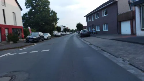


Museums and landmarks21

Burg Scheventorf
Monument and historic site · 6.3 km
Ehemalige Wasserburg; ehemaliges Rittergut
55 Scheventorf


Schloss Kettler
Monument and historic site · 3.5 km
1 Harkotten, Sassenberg

Schloss von Korff
Monument and historic site · 3.4 km
2 Harkotten, Sassenberg




9 more on the map.
Parks, trails and playgrounds19



Sole-Freibad
Sports field and stadium · 5.8 km
May-Sep: Mo-Fr 06:00-20:00; May-Sep: Sa,Su,PH 07:00-19:00


7 more on the map.
Restaurants and cafes29
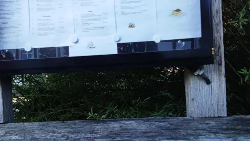
Die Mühle - Café Bar Restaurant
Restaurant · 6.5 km
1 Kurgartenallee, Bad Laer
We-Sa 15:00-23:00; Su 12:00-22:00; PH 12:00-22:00



Westerwieder Bauernstuben
Restaurant · 5.4 km
Öffnungszeiten *Mittwoch bis Samstag ab 15 Uhr *warme Küche ab 17:30 Uhr *Sonn- und Feiertagen Mittagstisch ab 11:30 Uhr und ab 17.30...
3 In den Höfen, Bad Laer
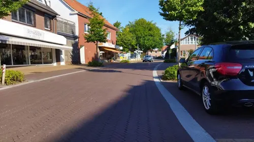
Bäckerei Wolke
Bakery · 4.7 km
27 Hauptstraße, Glandorf
Mo-Sa 05:30-12:00, Tu-Fr 14:00-18:00, Su 08:30-10:30
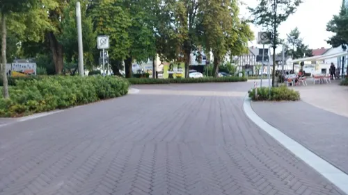
Casa del Gelato
Ice cream · Ice Cream · 6.3 km
1 Iburger Straße
Mo, We-Su 11:00-19:00


Haus Große Kettler
Restaurant · Regional · 6.5 km
11 Bahnhofstraße, Bad Laer
Mo-Sa 11:30-14:00, 17:30-21:30; Su 11:30-14:00, 17:30-21:00
17 more on the map.
Where to stay10
Churches and places of worship12
Shopping12
Gas and EV charging5
Schools, colleges and libraries9
Healthcare4
Map of Glandorf
125 places. The map loads OpenStreetMap tiles when you open it.
Getting there and nearby towns
Münster Osnabrück Airport (FMO) is the nearest airport with scheduled flights listed in OpenStreetMap, 22 km away.
- Bad Laer 6 km east, about 6 min by car
- Bad Iburg 8 km north, about 8 min by car
- Sassenberg 11 km south, about 11 min by car
- Versmold 12 km southeast, about 12 min by car
- Hilter 12 km northeast, about 12 min by car
- Ostbevern 12 km southwest, about 12 min by car
- Georgsmarienhütte 14 km north, about 14 min by car
- Warendorf 15 km south, about 15 min by car
- Lengerich 15 km northwest, about 15 min by car
- Hasbergen 17 km north, about 17 min by car
Drive times are estimates from straight-line distance, not routes.
Local news
Headlines from INDB.
Reviews, tips and questions
Loading what members have shared...
Sources and licences
- GeoNames (CC BY 4.0): population, coordinates, regions and time zone
- Mapillary (see each image): photos
- OpenStreetMap contributors (ODbL 1.0): places, airports, map data
- Wikidata (CC0 1.0): elevation, founding date, time zone, website
- Wikimedia Commons (see each image): photos
- Wikipedia (CC BY-SA 4.0): overview and history text
Photo credits
- Windmuehle Glandorf, Christian Imhorst, CC BY 3.0
- Windmühle Glandorf (2008), Jochen Teufel, CC BY-SA 3.0
- Theresien-Haus Glandorf (2008), Jochen Teufel, CC BY-SA 3.0
- Lateinische Tafel Theresien-Haus Glandorf (2008), Jochen Teufel, CC BY-SA 3.0
- Steinkreuz an der Kirche St. Johannis in Glandorf, Megalithicguy, CC BY-SA 4.0
- Glandorf, die Sankt Johannis Kirche IMG 6955 2020-08-01 12.40, Michielverbeek, CC BY-SA 4.0
- Glandorf, Ortsansicht -- 2014 -- 8540, Dietmar Rabich, CC BY-SA 4.0
- Glandorf, Windmühle -- 2014 -- 8541, Dietmar Rabich, CC BY-SA 4.0
- Glandorf, Windmühle -- 2014 -- 8541 -- Ausschnitt, Dietmar Rabich, CC BY-SA 4.0
- 20140601 124045 Ortsmitte Glandorf (DSC02159), Günter Seggebäing, Coesfeld, CC BY-SA 3.0
- Glandorf, Windmühle -- 2014 -- 8539, Dietmar Rabich, CC BY-SA 4.0
- Glandorf, St.-Johannis-Kirche -- 2014 -- 8542, Dietmar Rabich, CC BY-SA 4.0
- Glandorf, St.-Johannis-Kirche -- 2014 -- 8538, Dietmar Rabich, CC BY-SA 4.0
- Glandorf, St.-Johannis-Kirche -- 2014 -- 8537, Dietmar Rabich, CC BY-SA 4.0
- Glandorf, Krankenhaus -- 2014 -- 8543, Dietmar Rabich, CC BY-SA 4.0
- Glandorf, Sportanlage -- 2014 -- 8536, Dietmar Rabich, CC BY-SA 4.0
- Glandorf, St.-Johannis-Kirche -- 2014 -- 8544 -- Ausschnitt, Dietmar Rabich, CC BY-SA 4.0
- Glandorf, St.-Johannis-Kirche -- 2014 -- 8544, Dietmar Rabich, CC BY-SA 4.0
- Glandorf, Sportanlage -- 2014 -- 8535, Dietmar Rabich, CC BY-SA 4.0
- Glandorf, Gasthof Buller -- 2014 -- 8534, Dietmar Rabich, CC BY-SA 4.0
- 20140601 124016 Glandorf (DSC02158), Günter Seggebäing, Coesfeld, CC BY-SA 3.0
- Glandorf, Bauernhöfe -- 2014 -- 8533, Dietmar Rabich, CC BY-SA 4.0
- Glandorf, Bauernhöfe an der B51 -- 2014 -- 8532, Dietmar Rabich, CC BY-SA 4.0
- GlandorfSt.Johannes, MrsMyer, CC BY-SA 3.0
- BadIburgBurgScheventorfMaerz2008, MrsMyer, CC BY-SA 3.0
- Glandorf, Kripplein Christi, Christian Imhorst Imhorst74, CC BY-SA 3.0
- Sassenberg, Füchtorf, Schloss Harkotten -- 2014 -- 8548 -- Ausschnitt, Dietmar Rabich, CC BY-SA 4.0
- Badlaerkirche, Varus111, CC BY-SA 3.0
- Füchtorf, katholische Kirche, Turm, Rauenstein, Public domain
- Vinnenberg2018 (69), Lambiotte, CC BY-SA 4.0
- Harkotten 4, Michael Sch., Public domain
- Bad Laer - Hardensetten-Predigerlinde Kreuz, Hagar66, CC BY-SA 3.0
- Bad Laer - Hardensetten-Kreuzweg Station 15, Hagar66, CC BY-SA 3.0
- Vinnenberg2018 (60), Lambiotte, CC BY-SA 4.0
- 20140601 124433 Doppelschlossanlage Harkotten, Sassenberg (DSC02179), Günter Seggebäing, Coesfeld, CC BY-SA 3.0
- Street-level photo, changchun1, CC BY-SA 4.0
- Street-level photo, changchun1, CC BY-SA 4.0
- Street-level photo, changchun1, CC BY-SA 4.0
- Street-level photo, changchun1, CC BY-SA 4.0
- Street-level photo, changchun1, CC BY-SA 4.0
- Street-level photo, changchun1, CC BY-SA 4.0
- Street-level photo, changchun1, CC BY-SA 4.0
- Street-level photo, changchun1, CC BY-SA 4.0
- Street-level photo, changchun1, CC BY-SA 4.0
- Street-level photo, changchun1, CC BY-SA 4.0
- Street-level photo, changchun1, CC BY-SA 4.0
- Street-level photo, changchun1, CC BY-SA 4.0
- Street-level photo, baldur80, CC BY-SA 4.0
- Street-level photo, changchun1, CC BY-SA 4.0
- Street-level photo, changchun1, CC BY-SA 4.0
- Street-level photo, changchun1, CC BY-SA 4.0
- Street-level photo, changchun1, CC BY-SA 4.0
- Street-level photo, changchun1, CC BY-SA 4.0
- Street-level photo, changchun1, CC BY-SA 4.0
- Street-level photo, changchun1, CC BY-SA 4.0
- Street-level photo, changchun1, CC BY-SA 4.0


Page built November 9, 2026. Spotted a mistake? Tell us or suggest a place.