


Why visit Bad Laer
Townapedia lists 29 museums and landmarks, 19 parks and trails, 73 places to eat, 28 places to stay and 9 attractions in and around town.
Highlights include Bühnenersatzverkehr Theaterlinie 49 e.V., Kalvarienberg, Averbecks Speicher and Burg Scheventorf.
Weather in Bad Laer
Forecast from MET Norway (CC BY 4.0). Full forecast
About Bad Laer
Bad Laer (German pronunciation: [baːt ˈlaːɐ̯]) is a municipality and health resort in the district of Osnabrück, in Lower Saxony, Germany. It is situated in the Teutoburg Forest, approx. 20 km south of Osnabrück.
From the Wikipedia article Bad Laer (this version), under CC BY-SA 4.0.
Things to do9



Museums and landmarks29


Burg Scheventorf
Monument and historic site · 5.3 km
Ehemalige Wasserburg; ehemaliges Rittergut
55 Scheventorf
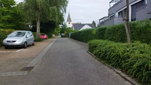
Heimatmuseum
Museum · 5.3 km
Hier wird seit 1944 das Wissen über Rothenfelde, Gradierwerke, Dornenstein und Salze vermittelt.
10 Wellengartenstraße, Bad Rothenfelde
Tu 16:00-18:00; Th 16:00-18:00


Schloss Kettler
Monument and historic site · 5.5 km
1 Harkotten, Sassenberg

Schloss von Korff
Monument and historic site · 5.6 km
2 Harkotten, Sassenberg

Neues Gradierwerk
Monument and historic site · 5.9 km
Gradierwerke wurden ursprünglich als Teil von Salzwerken zur Salzgewinnung eingesetzt. Heutzutage werden sie in Deutschland oft zu...
Kurpark, Bad Rothenfelde



17 more on the map.
Parks, trails and playgrounds19

Sole-Freibad
Sports field and stadium
May-Sep: Mo-Fr 06:00-20:00; May-Sep: Sa,Su,PH 07:00-19:00


7 more on the map.
Restaurants and cafes73
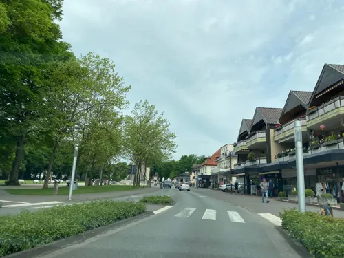
Cafe Coeurchen
Cafe · French · 5.7 km
15 Bahnhofstraße, Bad Rothenfelde
Mo,Th-Sa 09:00-22:00; Tu 09:00-18:00; Su 09:00-17:00
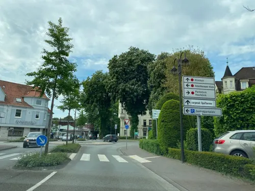
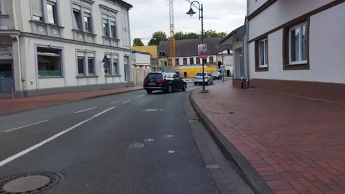
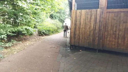

Alleecafé
Cafe · 4.9 km
4 Welfenallee, Bad Rothenfelde
Apr-Oct 08:30-18:00, Nov-Mar Sa-Su 14:30-18:00, Dec 16-31 off

Café Strathmann
Cafe · 5.4 km
14 Frankfurter Straße, Bad Rothenfelde
Mo-Sa 06:00-18:00; Su 08:00-18:00
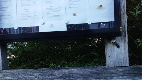
Die Mühle - Café Bar Restaurant
Restaurant · 0.6 km
1 Kurgartenallee, Bad Laer
We-Sa 15:00-23:00; Su 12:00-22:00; PH 12:00-22:00
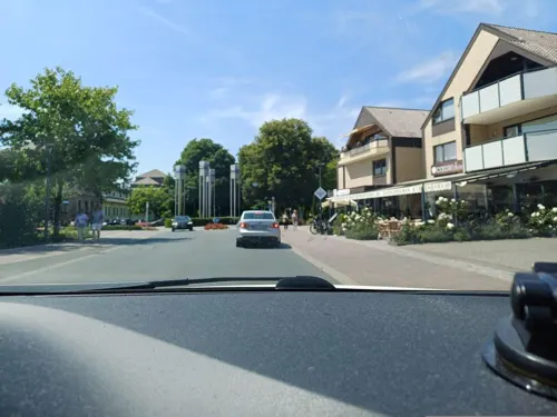
Divan 2
Restaurant · Turkish · 5.7 km
Divan bedeutet auf türkisch: lockere Atmosphäre und gemütliches Zusammensitzen.
17 Bahnhofstraße, Bad Rothenfelde
Mo-Su 11:00-24:00
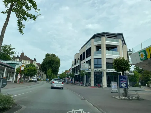


61 more on the map.
Where to stay28
Caritas Seniorenerholung Haus St. Elisabeth
Motel and hotel · 5.7 km
19 Bahnhofstraße, Bad Rothenfelde
Churches and places of worship15
Ev.-luth. Jesus-Chritus-Kirche
Church · Lutheran · 5.3 km
9 Münstersche Straße, Bad Rothenfelde
Shopping21
Gas and EV charging6
Schools, colleges and libraries9
Healthcare7
Klinik im Kurpark
Clinic and pharmacy · 5.6 km
33 Hannoversche Straße, Bad Rothenfelde
Osning Apotheke
Clinic and pharmacy · 5.5 km
5 Osnabrücker Straße, Bad Rothenfelde
Map of Bad Laer
216 places. The map loads OpenStreetMap tiles when you open it.
Getting there and nearby towns
Münster Osnabrück Airport (FMO) is the nearest airport with scheduled flights listed in OpenStreetMap, 28 km away.
- Hilter 6 km northeast, about 6 min by car
- Bad Iburg 7 km northwest, about 7 min by car
- Versmold 8 km southeast, about 8 min by car
- Georgsmarienhütte 12 km north, about 12 min by car
- Sassenberg 12 km south, about 12 min by car
- Bissendorf 16 km north, about 16 min by car
- Warendorf 18 km south, about 18 min by car
- Lengerich 18 km northwest, about 18 min by car
- Harsewinkel 18 km southeast, about 18 min by car
- Osnabrück 19 km north, about 19 min by car
Drive times are estimates from straight-line distance, not routes.
Local news
Headlines from INDB.
Reviews, tips and questions
Loading what members have shared...
Sources and licences
- GeoNames (CC BY 4.0): population, coordinates, regions and time zone
- Mapillary (see each image): photos
- OpenStreetMap contributors (ODbL 1.0): places, airports, map data
- Wikidata (CC0 1.0): elevation, founding date, time zone, website
- Wikimedia Commons (see each image): photos
- Wikipedia (CC BY-SA 4.0): overview and history text
Photo credits
- Bad Laer V 36 412 Kurpark Glockensee 2013 06 16, ABproTWE, CC BY-SA 3.0
- Bad Laer - DC6, Hagar66, CC BY-SA 3.0
- Bad Laer - Pranger 01, Basotxerri, CC BY-SA 4.0
- Bad Laer - Kirchplatz 04, Basotxerri, CC BY-SA 4.0
- Bad Laer - Kirchplatz 03, Basotxerri, CC BY-SA 4.0
- Bad Laer - Kirchplatz 01, Basotxerri, CC BY-SA 4.0
- Bad Laer - Kirchplatz 02, Basotxerri, CC BY-SA 4.0
- 78 468 Teuto Express Bad Laer, ABproTWE, CC BY-SA 3.0
- Bad Laer-Bahnhof, Hagar66, CC BY-SA 3.0
- Bad Laer Osningbahn Glockensee 2014 08 24, ABproTWE, CC BY-SA 4.0
- Bad Laer Osningbahn Kurpark 2014 08 24, ABproTWE, CC BY-SA 4.0
- Bad Laer V 36 412 Kurpark Saline 2013 06 16, ABproTWE, CC BY-SA 3.0
- Bad Laer - Kurpark 01, Basotxerri, CC BY-SA 4.0
- BadIburgBurgScheventorfMaerz2008, MrsMyer, CC BY-SA 3.0
- Glane, katholische Kirche St. Jakobus der Ältere, Rauenstein, Public domain
- Glandorf, Kripplein Christi, Christian Imhorst Imhorst74, CC BY-SA 3.0
- Sassenberg, Füchtorf, Schloss Harkotten -- 2014 -- 8548 -- Ausschnitt, Dietmar Rabich, CC BY-SA 4.0
- GlandorfSt.Johannes, MrsMyer, CC BY-SA 3.0
- Badlaerkirche, Varus111, CC BY-SA 3.0
- Harkotten 4, Michael Sch., Public domain
- BadIburgGlaneAverdiekAnlage, MrsMyerDE, CC BY-SA 3.0
- Bad-Kösen-Gradierwerk, CTHOE, CC BY-SA 3.0
- 20140601 124433 Doppelschlossanlage Harkotten, Sassenberg (DSC02179), Günter Seggebäing, Coesfeld, CC BY-SA 3.0
- WassermühleBadLaer, E. S. Myer, CC BY-SA 3.0 de
- Street-level photo, changchun1, CC BY-SA 4.0
- Street-level photo, changchun1, CC BY-SA 4.0
- Street-level photo, changchun1, CC BY-SA 4.0
- Street-level photo, sattelschwein, CC BY-SA 4.0
- Street-level photo, sattelschwein, CC BY-SA 4.0
- Street-level photo, sattelschwein, CC BY-SA 4.0
- Street-level photo, changchun1, CC BY-SA 4.0
- Street-level photo, sattelschwein, CC BY-SA 4.0
- Street-level photo, ThorstenHPunkt, CC BY-SA 4.0
- Street-level photo, changchun1, CC BY-SA 4.0
- Street-level photo, changchun1, CC BY-SA 4.0
- Street-level photo, sattelschwein, CC BY-SA 4.0
- Street-level photo, thetornado76, CC BY-SA 4.0
- Street-level photo, changchun1, CC BY-SA 4.0
- Street-level photo, kgvx, CC BY-SA 4.0
- Street-level photo, changchun1, CC BY-SA 4.0
- Street-level photo, changchun1, CC BY-SA 4.0
- Street-level photo, ThorstenHPunkt, CC BY-SA 4.0


Page built November 9, 2026. Spotted a mistake? Tell us or suggest a place.