


Why visit Lohra
Townapedia lists 26 museums and landmarks, 15 parks and trails, 63 places to eat, 10 places to stay and 29 attractions in and around town.
Highlights include Hof Stedebach, Caspersch Hof, Lohra and Oberburg Fronhausen.
Weather in Lohra
Forecast from MET Norway (CC BY 4.0). Full forecast
About Lohra
Lohra (German pronunciation: [ˈloːʁa]) is a municipality in Marburg-Biedenkopf district in the administrative region of Gießen in Hesse, Germany.
From the Wikipedia article Lohra, Germany (this version), under CC BY-SA 4.0.
Things to do29

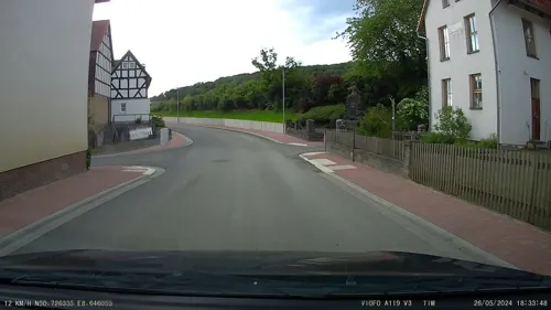
Caspersch Hof
Farm and orchard · 1.2 km
12 Fronhäuser Straße, Lohra
Tu 10:00-18:30; Fr 10:00-18:30; Sa 09:00-15:00



17 more on the map.
Museums and landmarks26


Oberburg Fronhausen
Monument and historic site · 5.4 km
Privat - kein Zutritt; ehem. Wasserburg der Vögte von Fronhausen
7 Rathausstraße, Fronhausen

Unterburg
Monument and historic site · 5.5 km
Privat - kein Zutritt
10 Talstraße, Fronhausen
alter Bahnhof
Monument and historic site · 5.5 km
Historisches Bahnhofsgebäude
44 Bahnhofstraße, Fronhausen
Altes Rathaus, Standesamt
Monument and historic site · 5.3 km
Standesamt (Trauungszimmer), Gemeindebücherei
8 Rathausstraße, Fronhausen

Burg Naumburg
Monument and historic site · 5.6 km
Es sind noch Wälle und Gräben vorhanden.

Subach-Postraub
Monument and historic site · 3.1 km
Geldtransport wurde überfallen
Altes Bahnhofsgebäude Niederwalgern
Monument and historic site · 5.3 km
18 Bahnhofstraße, Weimar (Lahn)


14 more on the map.
Parks, trails and playgrounds15
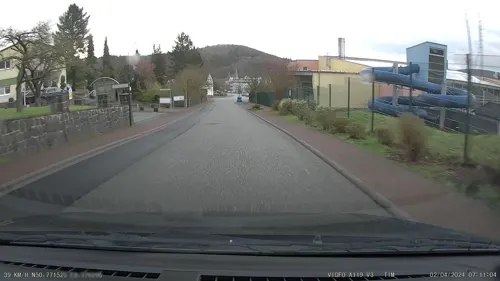
Freizeitbad Nautilust
Sports field and stadium · 5.8 km
42 Ferdinand-Köhler-Straße, Gladenbach
Mo-Fr 10:00-22:00; Sa 10:00-21:00; Su 09:00-20:00






3 more on the map.
Restaurants and cafes63
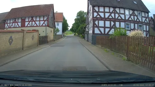

Das Kornhaus
Restaurant · Regional · 3.2 km
19 Subachstraße, Gladenbach
Th-Sa 17:00-22:00; Su 11:30-21:00; PH "evtl. anders, bitte anrufen"
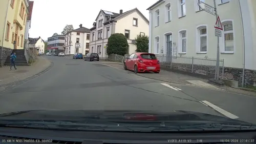
Zum Gutsstübchen
Restaurant · German · 5.7 km
1 Koblenzer Straße, Weimar (Lahn)
Fr-Sa 18:30+; Su,PH 12:00+
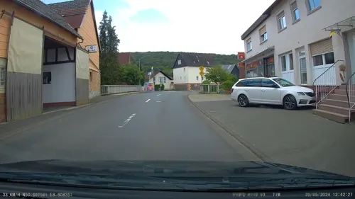
Zur alten Post
Restaurant · Regional · 5.4 km
3 Gießener Landstraße, Lohra
Tu,We off, Th-Mo 17:00-01:00, Su,PH 11:00-14:30
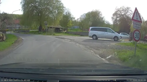
Piccolino
Restaurant · German · 5.7 km
42 Ferdinand-Köhler-Straße, Gladenbach
Mo-Sa 12:00-19:00; Su,PH 11:00-18:00
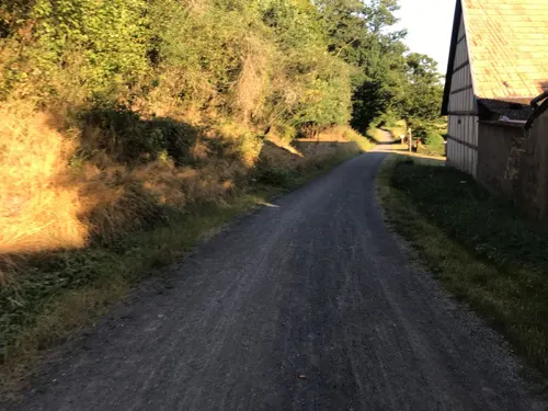
Schmelzmühle
Restaurant · 4.6 km
3 Schmelz, Lollar
Th-Sa 13:00-20:00; Su,PH 12:00-19:00

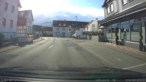
TOBIS Bistro
Restaurant
15 Bahnhofstraße, Lohra
Mo-Fr 09:00-12:30, Sa 09:00-13:00, Mo,Tu,Th,Fr 14:30-18:00


bella vista
Restaurant · Italian · 5.7 km
5 Karl-Waldschmidt-Straße, Gladenbach
Mo-Fr 11:00-14:30,17:30-22:00; Tu off; Sa,Su 11:00-22:00
51 more on the map.
History
Witness to Lohra's early occupation is the gallery grave found at the Gernstein in 1931, which puts the earliest habitation no later than the dying days of the New Stone Age.
The men, women and children buried here, whose number must have been about 20, had been burnt in a surprising way. Furthermore, unlike what has been found at other gallery graves in North Hesse, the dead were richly furnished with ceramics and other everyday objects for their trip to the hereafter. Handled beakers (which owing to their unique style have also come to be called Lohra beakers in archaeological jargon), cups, bowls, a serpentine axe, a small stone hatchet, a retouched radiolarite blade and pieces of bronze plate are all things that have been found at the site. Some of the finds have been kept at the Hesse State Museum since 1931.
At Altenvers, a Germanic settlement dating from Roman times was found in which it is highly likely that metal was processed.
Lohra was first mentioned in an entry in the goods directory of the Benedictine Monastery of Fulda in the mid 8th century, and shortly thereafter in the donation book of the Monastery of Lorsch, as "loco lare":
From the History section of Lohra, Germany on Wikipedia, under CC BY-SA 4.0.
Where to stay10
Churches and places of worship28
Evangelische Kirche Fronhausen
Church · Protestant · 5.3 km
10 Steinweg, Fronhausen
Fachwerkkirche
Church · Lutheran · 4.9 km
13 Ortsstraße, Weimar (Lahn)
Fachwerkkirche Frohnhausen
Church · Protestant · 5.7 km
5 Sportplatzstraße, Gladenbach
Evangelische Kirche Kehna
Church · Lutheran · 2.6 km
13 Kenenstraße, Weimar (Lahn)
Ev. Kirche Oberwalgern
Church · Protestant · 3.4 km
6 Kirchstraße, Fronhausen
Shopping15
Gas and EV charging5
Schools, colleges and libraries8
Freiherr-vom-Stein-Schule - Europaschule
School · 5.6 km
1 Dr.-Berthold-Leinweber-Straße, Gladenbach
Grund- und Förderstufe, Freiherr-vom-Stein Schule
School · 5.5 km
33 Ringstraße, Gladenbach
Healthcare6
Landgrafen Apotheke
Clinic and pharmacy · 4.9 km
29 Gießener Straße, Weimar (Lahn)
Map of Lohra
205 places. The map loads OpenStreetMap tiles when you open it.
Getting there and nearby towns
Siegerlandflughafen (SGE) is the nearest airport with scheduled flights listed in OpenStreetMap, 39 km away.
- Gladenbach 5 km northwest, about 5 min by car
- Staufenberg 11 km southeast, about 11 min by car
- Lollar 11 km southeast, about 11 min by car
- Marburg an der Lahn 13 km northeast, about 13 min by car
- Wehrda 14 km northeast, about 14 min by car
- Mittenaar 18 km west, about 18 min by car
- Aßlar 20 km southwest, about 20 min by car
- Wetter 20 km north, about 20 min by car
- Wetzlar 21 km southwest, about 21 min by car
- Reiskirchen 20 km southeast, about 20 min by car
Drive times are estimates from straight-line distance, not routes.
Local news
Headlines from INDB.
Reviews, tips and questions
Loading what members have shared...
Sources and licences
- GeoNames (CC BY 4.0): population, coordinates, regions and time zone
- Mapillary (see each image): photos
- OpenStreetMap contributors (ODbL 1.0): places, airports, map data
- Wikidata (CC0 1.0): elevation, founding date, time zone, website, landmarks and historic places
- Wikimedia Commons (see each image): photos
- Wikipedia (CC BY-SA 4.0): overview and history text
Photo credits
- Lohra-003, Gerold Rosenberg ( talk ) 01:02, 12 November 2015 (UTC), CC BY-SA 3.0
- Ortsdurchfahrt von Lohra - geo.hlipp.de - 39222, Uwe Seibert on geo.hlipp.de, CC BY-SA 2.0
- Lohra - Lindenplatz - Altes Rathaus (003), Gerold Rosenberg ( talk ) 16:45, 31 December 2015 (UTC), CC BY-SA 3.0
- Lohra - Lindenplatz - Altes Rathaus (002), Gerold Rosenberg ( talk ) 16:43, 31 December 2015 (UTC), CC BY-SA 3.0
- Lohra - Lindenplatz - Altes Rathaus (001), Gerold Rosenberg ( talk ) 22:06, 13 October 2015 (UTC), CC BY-SA 3.0
- Lohra - Evangelische Kirche (004), Gerold Rosenberg ( talk ) 20:05, 5 March 2015 (UTC), CC BY-SA 3.0
- Lohra - Lindenplatz (004), Gerold Rosenberg ( talk ) 22:04, 13 October 2015 (UTC), CC BY-SA 3.0
- Lohra - Evangelische Kirche (005), Gerold Rosenberg ( talk ) 20:06, 5 March 2015 (UTC), CC BY-SA 3.0
- Lohra - Evangelische Kirche (006), Gerold Rosenberg ( talk ) 20:08, 5 March 2015 (UTC), CC BY-SA 3.0
- Lohra - Evangelische Kirche (002), Gerold Rosenberg ( talk ) 20:02, 5 March 2015 (UTC), CC BY-SA 3.0
- Lohra - Evangelische Kirche (003), Gerold Rosenberg ( talk ) 20:04, 5 March 2015 (UTC), CC BY-SA 3.0
- Lohra - Bahnhof 1, Gerold Rosenberg, CC BY-SA 3.0
- Lohra - Evangelische Kirche (007), Gerold Rosenberg ( talk ) 20:10, 5 March 2015 (UTC), CC BY-SA 3.0
- Lohra - Evangelische Kirche (008), Gerold Rosenberg ( talk ) 20:12, 5 March 2015 (UTC), CC BY-SA 3.0
- Lohra - Evangelische Kirche (009), Gerold Rosenberg ( talk ) 20:14, 5 March 2015 (UTC), CC BY-SA 3.0
- Lohra - Evangelische Kirche (010)., Gerold Rosenberg ( talk ) 20:16, 5 March 2015 (UTC), CC BY-SA 3.0
- Lohra - Alte-Schule (002), Gerold Rosenberg ( talk ) 19:58, 5 March 2015 (UTC), CC BY-SA 3.0
- Lohra - Alte-Schule (001), Gerold Rosenberg ( talk ) 19:56, 5 March 2015 (UTC), CC BY-SA 3.0
- Traktorfreunde-Lohra (002-1), Unknown author, CC BY-SA 3.0
- Traktorfreunde-Lohra (003-1), Unknown author, CC BY-SA 3.0
- Kälberg (Lohra) (001), Gerold Rosenberg ( talk ) 14:33, 15 February 2015 (UTC), CC BY-SA 3.0
- Traktorfreunde-Lohra (001-3), Unknown author, CC BY-SA 3.0
- Traktorfreunde-Lohra (001-2), Unknown author, CC BY-SA 3.0
- Traktorfreunde-Lohra (001-1), Unknown author, CC BY-SA 3.0
- Traktorfreunde-Lohra (001-4), Unknown author, CC BY-SA 3.0
- Damm (Lohra) - Rückhaltebecken 1, Gerold Rosenberg, CC BY-SA 3.0
- Damm (Lohra) - Mühle (1), Gerold Rosenberg, CC BY-SA 3.0
- Damm (Lohra) - Mühle (2), Gerold Rosenberg, CC BY-SA 3.0
- Lohra-004, Gerold Rosenberg ( talk ) 00:09, 29 December 2015 (UTC), CC BY-SA 3.0
- Kirche und Naturkundehaus Damm (Lohra), Hydro, CC BY-SA 4.0
- Kirche Damm (Lohra) 2, Hydro, CC BY-SA 4.0
- Kirche Damm (Lohra) 1, Hydro, CC BY-SA 4.0
- Infotafel Salzböderadweg Gemeinde Lohra, Clisch, CC BY-SA 4.0
- IMG 5196 Gronauer Schloss 3, Gerold Rosenberg, CC BY-SA 3.0
- Wall und Graben der Naumburg bei Gladenbach 200809, H2OMy at German Wikipedia, Public domain
- Burg Rickelskopf (0004), GR Second Life ( talk ) 14:44, 6 December 2016 (UTC), CC BY-SA 3.0
- Lohra - Burg-Seelbach (001), Gerold Rosenberg ( talk ) 20:00, 5 March 2015 (UTC), CC BY-SA 3.0
- Kirche Allna 1, Hydro, CC BY-SA 4.0
- Oberburg Fronhausen, presse03 ( talk ), CC BY-SA 3.0
- Unterburg Fronhausen 1, Presse03, CC BY-SA 3.0
- Evangelische Kirche Fronhausen 02, Hydro, CC BY-SA 4.0
- Lohra - Evangelische Kirche (022), Gerold Rosenberg ( talk ) 18:59, 15 March 2015 (UTC), CC BY-SA 3.0
- Oberwalgern Kirche 17, Gerold Rosenberg ( talk ) 22:21, 14 October 2015 (UTC), CC BY-SA 3.0
- Ev Kirche Kirchvers (1), Gerold Rosenberg ( talk ) 14:02, 26 July 2014 (UTC), CC BY-SA 3.0
- Kehna - Naturschutzgebiet 1, Gerold Rosenberg ( talk ), CC BY-SA 3.0
- Seelbach (Lohra) Kirche 2, Hydro, CC BY-SA 4.0
- Mornshausen (Gladenbach) - Kirche (001), Gerold Rosenberg ( talk ) 16:41, 1 August 2015 (UTC), CC BY-SA 3.0
- Kirche Rollshausen (Lohra) 4, Hydro, CC BY-SA 4.0
- Kirche Rüchenbach 1, Hydro, CC BY-SA 4.0
- Kaffeemühlenkirche in Gladenbach-Frohnhausen, Arnd Reinold, CC BY-SA 3.0
- Kehna - Kirche (Zugangstreppe), Gerold Rosenberg ( talk ) 12:03, 2 June 2012 (UTC), CC BY-SA 3.0
- Wolfskapelle Friebertshausen 2, Hydro, CC BY-SA 4.0
- Georg-Ludwig-Hartig-Park Gladenbach 02, J.-H. Janßen, CC BY-SA 3.0
- Dreisberg (Gladenbacher Bergland) (001), Gerold Rosenberg ( talk ) 22:20, 10 January 2016 (UTC), CC BY-SA 3.0
- Wegweiser GLA.021 Abzweig zur Koppe, Clisch, CC BY-SA 4.0
- Street-level photo, tim3003, CC BY-SA 4.0
- Street-level photo, Lowiekse, CC BY-SA 4.0
- Street-level photo, tim3003, CC BY-SA 4.0
- Street-level photo, tim3003, CC BY-SA 4.0
- Street-level photo, tim3003, CC BY-SA 4.0
- Street-level photo, tim3003, CC BY-SA 4.0
- Street-level photo, tim3003, CC BY-SA 4.0
- Street-level photo, bct, CC BY-SA 4.0
- Street-level photo, tim3003, CC BY-SA 4.0
- Street-level photo, Lowiekse, CC BY-SA 4.0
- Street-level photo, troher15, CC BY-SA 4.0
- Street-level photo, tim3003, CC BY-SA 4.0
- Street-level photo, tim3003, CC BY-SA 4.0
- Street-level photo, tim3003, CC BY-SA 4.0
- Street-level photo, tim3003, CC BY-SA 4.0
- Street-level photo, grinninghamster, CC BY-SA 4.0
- Street-level photo, grinninghamster, CC BY-SA 4.0
- Street-level photo, tim3003, CC BY-SA 4.0
- Street-level photo, tim3003, CC BY-SA 4.0
- Street-level photo, tim3003, CC BY-SA 4.0
- Street-level photo, tim3003, CC BY-SA 4.0
- Street-level photo, tim3003, CC BY-SA 4.0
- Street-level photo, grinninghamster, CC BY-SA 4.0


Page built November 9, 2026. Spotted a mistake? Tell us or suggest a place.