


Werther, Germany
Werther (Westf.)
Werther is a town of 11,575 people in North Rhine-Westphalia, Germany.
Why visit Werther
Townapedia lists 59 museums and landmarks, 22 parks and trails, 67 places to eat, 13 places to stay and 30 attractions in and around town.
Highlights include Bauer Maaß Hofladen, Apfelgarten Linhorst, Museum für Kindheits- und Jugendwerke bedeutender Künstler and Pinge.
Weather in Werther
Forecast from MET Norway (CC BY 4.0). Full forecast
About Werther
Werther (German pronunciation: [ˈveːɐ̯tɐ] ) is a town in the district of Gütersloh in the state of North Rhine-Westphalia, Germany. It is located near the Teutoburg Forest, approximately 10 km (6 miles) north-west of Bielefeld. It is best known for the Werther's Original caramel sweets, which are nowadays produced in the nearby city of Halle. Werther has one Gesamtschule and one Gymnasium, which has an exchange partnership with a Yarm School, an independent school in Yarm, England.
From the Wikipedia article Werther, North Rhine-Westphalia (this version), under CC BY-SA 4.0.
Things to do30

Bauer Maaß Hofladen
Farm and orchard · 1.3 km
7 Süthfeld, Werther (Westf.)
Tu,Fr 09:00-18:00; Sa 09:00-13:00
Apfelgarten Linhorst
Farm and orchard · 1.7 km
11 Wellenstraße, Werther (Westf.)
We-Fr 15:00-18:00; Sa 10:00-13:00
Bioland Hofladen Mühle
Farm and orchard · 4.6 km
1 Mühlenhof, Halle (Westf.)
Tu , Fr 10:00-18:00; Sa 10:00-13:00
Eirad
Farm and orchard · 4.6 km
37 Eggeberger Straße, Halle (Westf.)
24/7
Biohof Meyer zu Theenhausen
Farm and orchard · 3.6 km
3 Theenhausener Straße, Werther (Westf.)
Mo-Fr 09:00-18:00; Sa 09:00-13:00



18 more on the map.
Museums and landmarks59

Museum für Kindheits- und Jugendwerke bedeutender Künstler
Museum · 4.2 km
3 Kirchplatz, Halle (Westf.)
Sa,Su 14:00-17:00; "Nach Vereinbarung"

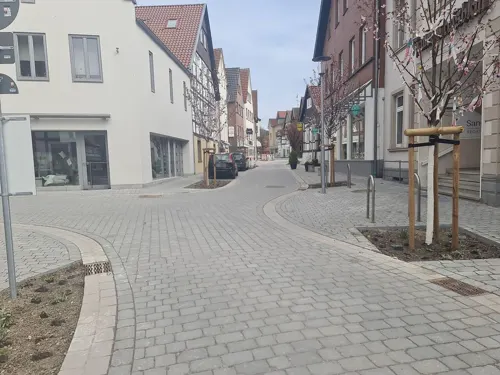
Haller ZeitRäume - Virtuelles Geschichtsmuseum der Stadt Halle Westfalen (Museumsbüro)
Museum · 4.4 km
Das Geschichtsmuseum Haller ZeitRäume existiert derzeit nur virtuell. Eine Ausstellung befindet sich in den Räumlichkeiten hier NICHT!...
17 Bahnhofstraße, Halle (Westf.)
Sa[1,2,4] 10:00-12:00; Sa[3] closed
Haus Abeke
Monument and historic site · 4.3 km
Dreischiffiges Längsdeelenhaus
13 Bahnhofstraße, Halle (Westf.)

Haus Brune
Monument and historic site · German · 4.3 km
10 Bahnhofstraße, Halle (Westf.)

Kaffeemühle
Monument and historic site · 3.6 km
Https://www.haller-zeitraeume.de/geschichtspfade/geschichtspfad-kaffeemuehle
Kerkmanns Spieker
Monument and historic site · 4.2 km
Steinerne Erdgeschoss ca. 16. Jh. Fachwerk Obergeschoss und Anbau ca. 17./18. Jh.
3 Kirchplatz, Halle (Westf.)
Kiskers Bogen
Monument and historic site · 4.2 km
Ehem. Torhaus zum Kirchplatz
50 Lange Straße, Halle (Westf.)
47 more on the map.
Parks, trails and playgrounds22






Skulpturenpark
Park · 4.5 km
Eine Entdeckungsreise durch heimische Kunst wartet im Skulpturenpark an der Bahnhofstraße auf Sie. Dort gibt es zahlreiche Skulpturen,...
Bahnhofstraße, Halle (Westf.)
10 more on the map.
Restaurants and cafes67
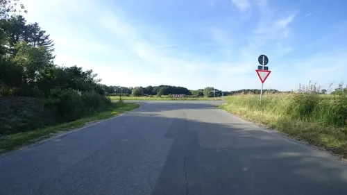
Haskenhoff's Schmiede
Restaurant · Regional · 3.2 km
Reine Eventlocation
24 Langenheider Straße, Werther (Westf.)
"only on-demand"
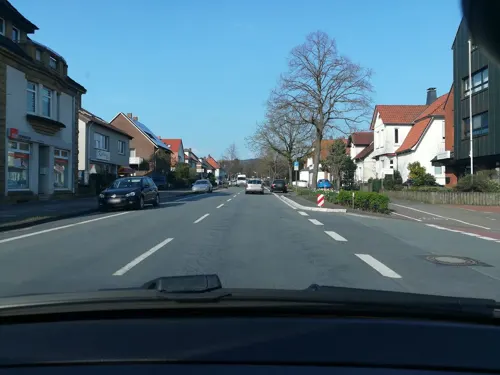
Hollmann
Restaurant · German · 4.9 km
20 Alleestraße, Halle (Westf.)
Tu-Fr 12:00-13:30, Mo-Sa 17:00-23:00+
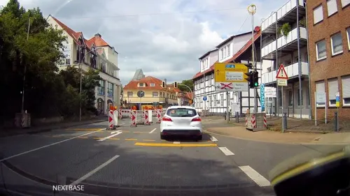
Aphrodite
Restaurant · Greek · 4.2 km
1 Martin-Luther-Straße, Halle (Westf.)
Tu-Sa 18:00-23:00; Su 12:00-14:30,18:00-24:00; PH 12:00-14:30,18:00-23:00

Grill Kavala
Restaurant · Pizza, Italian, Greek, German · 4.3 km
336 Babenhauser Straße, Bielefeld
Mo-Fr 11:00-22:00; Sa, Su, PH 12:00-22:00
Grillwerk 2.0
Restaurant · Burger · 5.1 km
2 Teutoburger Straße, Halle (Westf.)
We-Fr 11:30-14:00, We-Sa 17:00-21:00, Su 16:00-21:00
Il Amici
Restaurant · Pizza, Italian · 5.1 km
34 Alleestraße, Halle (Westf.)
We-Su,PH 11:30-14:30,17:30-21:30
Kreuzkrug
Restaurant · International · 4.0 km
462 Wertherstraße, Bielefeld
We-Su 11:00-14:30,17:30-22:00; Mo-Tu off
Pizzeria Taormina da Donato
Restaurant · Italian · 4.3 km
13 Kirchplatz, Halle (Westf.)
Tu-Fr 12:00-14:00,17:00-22:00; PH,Sa,Su 16:30-22:00
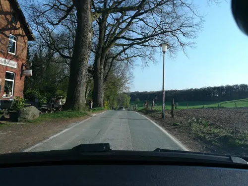
Restaurant und Sommerfrische "Friedrichshöhe"
Bar and pub · Regional, International, Coffee Shop · 5.0 km
48 Kaistraße, Steinhagen
Mo-Tu 18:00-01:00, We-Th 12:00-01:00, Fr 12:00-03:00, Sa...
Rossini
Restaurant · Regional, Italian, Coffee Shop · 3.9 km
11 Eggeberger Straße, Halle (Westf.)
Mo closed; Tu-Su 11:00-22:30
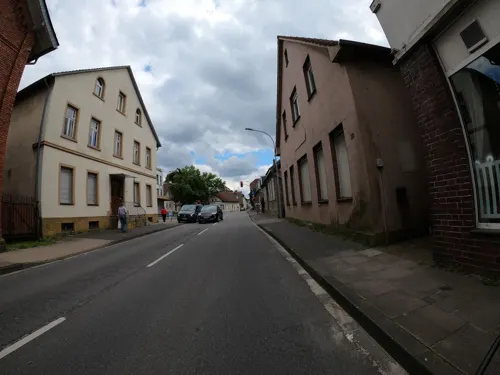


Taverne am Alten Markt
Bar and pub · American, Asian, Austrian, Bavarian, Burger, German · 4.4 km
28 Lange Straße, Halle (Westf.)
Mo-Su 17:00+
Tomatissimo
Restaurant · Mediterranean · 4.0 km
15 Am Tie, Bielefeld
We-Su 18:00-21:30, Su 12:00-14:00
55 more on the map.
Where to stay13
Churches and places of worship17
Shopping25
Gas and EV charging18
Schools, colleges and libraries22
Hochschule Bielefeld - University of Applied Sciences and Arts
School · 7.5 km
Healthcare9
i.med Medizinisches Versorgungszentrum
Clinic and pharmacy · 4.5 km
8b Neulehenstraße, Halle (Westf.)
Tagesklinik für Allgemeine Psychiatrie u. Psychotherapie Halle (Westf.)
Clinic and pharmacy · 5.1 km
4a Moltkestraße, Halle (Westf.)
Map of Werther
250 places. The map loads OpenStreetMap tiles when you open it.
Getting there and nearby towns
Flugplatz Bielefeld (BFE) is the nearest airport with scheduled flights listed in OpenStreetMap, 15 km away.
- Bielefeld 9 km southeast, about 9 min by car
- Hilter 20 km west, about 20 min by car
- Osnabrück 33 km northwest, about 33 min by car
- Hasbergen 36 km northwest, about 36 min by car
- Westerkappeln 45 km northwest, about 45 min by car
- Paderborn 46 km southeast, about 46 min by car
- Obernkirchen 53 km northeast, about 53 min by car
- Münster 56 km west, about 56 min by car
- Aerzen 58 km east, about 58 min by car
- Hamm 60 km southwest, about 1 h by car
Drive times are estimates from straight-line distance, not routes.
Local news
Headlines from INDB.
Reviews, tips and questions
Loading what members have shared...
Sources and licences
- GeoNames (CC BY 4.0): population, coordinates, regions and time zone
- Mapillary (see each image): photos
- OpenStreetMap contributors (ODbL 1.0): places, airports, map data
- Wikidata (CC0 1.0): elevation, founding date, time zone, website, landmarks and historic places
- Wikimedia Commons (see each image): photos
- Wikipedia (CC BY-SA 4.0): overview and history text
Photo credits
- Werther (Westfalen) Pfarrkirche, Oxyntes at German Wikipedia, CC BY-SA 2.0 de
- Werther (Westfalen) - St. Michael, Hagar66, CC BY-SA 3.0
- Werther Nutzung, Hagar66, Public domain
- Werther (Westfalen) Innenstadt, Hagar66, CC BY-SA 3.0
- Kaiserliche Post (Werther), RalfHuels, CC BY-SA 3.0
- Kastanien-Bartling (Werther), RalfHuels, CC BY-SA 3.0
- Haus Werther Rückseite, RalfHuels, CC BY-SA 3.0
- Bankverein werther headquarter, PKautz, CC BY-SA 3.0
- Bankverein Werther 2017, PKautz, CC BY-SA 3.0
- Haus Werther Tor, RalfHuels, CC BY-SA 3.0
- Haus Werther Einfahrt, RalfHuels, CC BY-SA 3.0
- Haus Werther Innenhof Mitte, RalfHuels, CC BY-SA 3.0
- Haus Werther Innenhof links, RalfHuels, CC BY-SA 3.0
- Haus Werther Innenhof rechts, RalfHuels, CC BY-SA 3.0
- Werther (Westfalen) Haus Werther, Hagar66, CC BY-SA 3.0
- Werther (Westf.) - Schwarzbach, Hagar66, Public domain
- Werther (Westfalen) Talbruecke, Hagar66, CC BY-SA 3.0
- Werther, Germany - panoramio, alpenzoo, CC BY-SA 3.0
- Werther (Westfalen), Germany - panoramio, alpenzoo, CC BY-SA 3.0
- ZOB Werther, Kassy2, CC BY-SA 4.0
- Busbahnhof Werther, WikiP aner, CC BY-SA 4.0
- Jüdischer Friedhof Werther-Westfalen, Petit8, CC BY-SA 4.0
- Werther (Westf.) - Wasserwerk, Hagar66, Public domain
- Museum Peter August Böckstiegel bei Werther (2021), Museumböckstiegel, CC BY-SA 4.0
- Werther (Westfalen), Böckstiegel-Haus und Böckstiegel-Museum, Dguendel, CC BY 4.0
- Werther (Westfalen), Böckstiegel-Haus, Skulptur-5, Dguendel, CC BY 4.0
- Borgholzhausen ev Kirche, Hagar66, Public domain
- Werther Jacobi3, Chris06, Public domain
- GerryWeberStadion, User:Drahreg01, CC BY-SA 3.0
- Werther (Westf.) - Rotenhagen Kirche, Hagar66, Public domain
- Halle (Westf.) - Eggeberg, Hagar66, CC BY-SA 3.0
- Halle Herz-Jesu-Kirche, Hagar66, CC BY-SA 4.0
- Naturschutzgebiet Hesselner Berge IMG 1923, Klaus Schmedtmann, CC0
- Halle (Westfalen) - NSG Steinbruch Schneiker, Hagar66, CC BY-SA 3.0
- Halle (Westf.) - Museum, Hagar66, CC BY-SA 3.0
- Halle (Westf.) - Kiskergrab, Hagar66, CC BY-SA 3.0
- Bielefeld Kirchdornberg, Am Tie 17, Peterskirche, 2013-03-24 HDR, G8w, CC BY-SA 3.0
- Halle kirche, Varus111, CC BY-SA 3.0
- Evangelische Kirche Häger (Werther), Chris06, CC BY-SA 4.0
- Bielefeld - Schröttinghausen-Arche-Noah-Kirche, Hagar66, CC BY-SA 3.0
- Naturschutzgebiet Gartnischberg IMG 0637, Klaus Schmedtmann, CC0
- Beckendorfer Mühlenbach Quellgebiet, Petit8, CC BY 4.0
- Halle Westf Hellberg, Bielibob, CC BY-SA 4.0
- Naturschutzgebiet Knüll-Storkenberg IMG 0729, Klaus Schmedtmann, CC0
- Mittleres Johannisbachtal - Johannisbach langer Blick Richtung Süden, Sascha Schleef, CC BY-SA 4.0
- Schwarzbachtal - Schwarzbach hinter Bäumen Richtung Osten, Sascha Schleef, CC BY-SA 4.0
- Uni-Bi, Unknown author, CC BY-SA 3.0
- Hochschule Bielefeld main building, SatanicHorse, CC BY-SA 4.0
- Halle (Westf.) - Hengeberg, Hagar66, CC BY-SA 3.0
- Halle (Westf.) - Haus Brune, Bahnhofstraße 10, DeFra290185, CC BY-SA 4.0
- Street-level photo, flohoff, CC BY-SA 4.0
- Street-level photo, thorstenh, CC BY-SA 4.0
- Street-level photo, DeFra85, CC BY-SA 4.0
- Street-level photo, GlitchHunter, CC BY-SA 4.0
- Street-level photo, derlipper, CC BY-SA 4.0
- Street-level photo, thorstenh, CC BY-SA 4.0
- Street-level photo, derlipper, CC BY-SA 4.0
- Street-level photo, derlipper, CC BY-SA 4.0
- Street-level photo, DeFra85, CC BY-SA 4.0
- Street-level photo, DeFra85, CC BY-SA 4.0
- Street-level photo, VIA_KK, CC BY-SA 4.0
- Street-level photo, thorstenh, CC BY-SA 4.0
- Street-level photo, derlipper, CC BY-SA 4.0
- Street-level photo, derlipper, CC BY-SA 4.0
- Street-level photo, derlipper, CC BY-SA 4.0
- Street-level photo, thetornado76, CC BY-SA 4.0
- Street-level photo, thorstenh, CC BY-SA 4.0
- Street-level photo, VIA_KK, CC BY-SA 4.0
- Street-level photo, DeFra85, CC BY-SA 4.0
- Street-level photo, thorstenh, CC BY-SA 4.0


Page built November 8, 2026. Spotted a mistake? Tell us or suggest a place.