


Why visit Manching
Townapedia lists 32 museums and landmarks, 23 parks and trails, 84 places to eat, 13 places to stay and 6 attractions in and around town.
Highlights include Gemüsehof Niederfeld, Hofladen Kettner, Kelten- und Römermuseum and Flugmuseum Messerschmitt.
Weather in Manching
Forecast from MET Norway (CC BY 4.0). Full forecast
About Manching
Manching (German pronunciation: [ˈmançɪŋ] ) is a municipality in the district of Pfaffenhofen, in Bavaria, Germany. It is situated on the river Paar, 7 km southeast of Ingolstadt. In the late Iron Age, there was a Celtic settlement, the Oppidum of Manching, on the location of present-day Manching.
From the Wikipedia article Manching (this version), under CC BY-SA 4.0.
Things to do6

Gemüsehof Niederfeld
Farm and orchard · 2.5 km
24 Rothenturmer Straße, Ingolstadt
Mo-Fr 08:00-12:30,14:00-17:30; Sa 08:00-12:00
Hofladen Kettner
Farm and orchard · 4.3 km
23 Lenbachstraße, Ingolstadt
Mo-Fr 08:00-18:30; We,Sa 08:00-13:00

Stadttheater Ingolstadt
Cinema and theater · 7.0 km
Theatre building in Ingolstadt, Germany
Gemüsehof Humbold
Farm and orchard · 4.5 km
28 Dorfstraße
Mo-Fr 08:00-18:00; Sa 08:00-13:00; Su,PH off
Museums and landmarks32

Kelten- und Römermuseum
Museum
Das Kelten- und Römer-Museum Manching präsentiert Funde aus über 100 Jahren archäologischer Ausgrabungen der Keltenstadt an der Donau.
2 Im Erlet, Manching
Tu-Fr 09:30-16:00; Sa, Su 10:00-17:00




Denkmal-Dampflokomotive 98 507
Monument and historic site · 5.3 km
Die bayerische Lokalbahnlokomotive der Baureihe D XI erinnert an die Bahnstrecke Ingolstadt - Riedenburg.
Lagerschanze Nr. 7
Monument and historic site · 4.5 km
Erstaunlich gut erhalten, Wälle und Geschützrampen vorhanden
20 more on the map.
Parks, trails and playgrounds23







11 more on the map.
Restaurants and cafes84
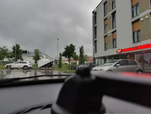
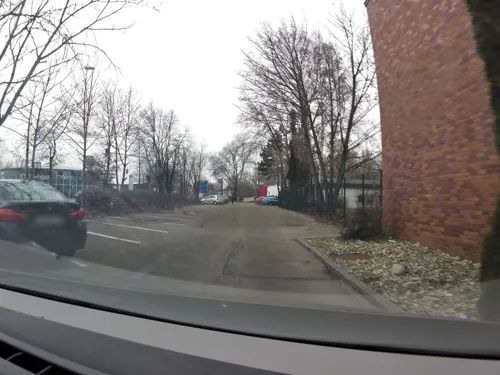
Bräustüberl Zur Sudpfanne
Restaurant · Bavarian · 4.1 km
95 Manchinger Straße, Ingolstadt
Tu-Sa 11:00-14:00, 17:00-22:00; Su 11:00-14:00

Chinarestaurant Panda
Restaurant · Chinese · 3.0 km
5 Scheelestraße, Ingolstadt
Mo-Su 11:30-14:30,17:30-22:00
Gaststätte "Zum Fuchsbau"
Restaurant · German · 4.0 km
1, Reichertshofen
Tu-Sa 10:30-21:30; Fr off; Su 09:30-21:30
Indisches Restaurant Shiva
Restaurant · Indian · 4.1 km
6 Dorfstraße, Ingolstadt
Tu-Su 11:00-14:30,17:00-23:00; Mo off
Landgasthaus Flotzinger
Restaurant · Pizza, Regional · 4.5 km
21 Münchener Straße, Baar-Ebenhausen
Mo,We,Th,Fr 11:00-14:00,17:00-24:00; Sa 17:00-24:00; Su...

Pizzeria Romi
Restaurant · Italian · 4.9 km
1 Martin-Hemm-Straße, Ingolstadt
Mo-Sa 17:30-23:00; Su 12:00-15:00,17:00-23:00
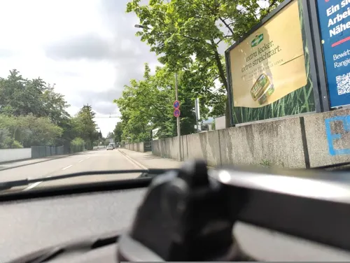
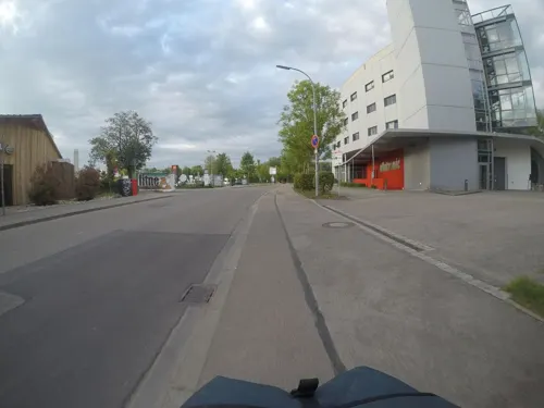


Sport Treff
Restaurant · Bavarian, German, Burger · 3.8 km
1 Unterlettenweg
Tu-Fr 11:00-14:30, 17:00-23:00; Sa 11:00-23:00; Mo 17:00-23:00; Su...
Tattva Indisches Restaurant
Restaurant · Indian · 5.2 km
103 Münchener Straße, Ingolstadt
Mo-Fr 11:00-14:30, Mo-Fr 17:30-23:00, Sa,Su 11:00-15:00, Sa,Su 17:30-23:00
72 more on the map.
Where to stay13
Churches and places of worship22
Mariä Himmelfahrt
Church · Roman Catholic · 5.2 km
2 Kirchstraße, Baar-Ebenhausen
St. Ignatius
Church · Roman Catholic · 2.2 km
37 Ortsstraße, Manching
St. Martin
Church · Roman Catholic · 4.8 km
10 Kirchplatz, Baar-Ebenhausen
Freie evangelische Gemeinde Ingolstadt
Church · Protestant · 3.8 km
16 Messerschmittstraße, Ingolstadt
Shopping25
Gas and EV charging17
Schnellladepark Süd (Autobahnausfahrt IN-Süd)
EV charging · 4.7 km
6 Am Auwaldsee, Ingolstadt
Schools, colleges and libraries10
THI - Technical University of Applied Sciences in Ingolstadt
School · 7.2 km
Grund- und Mittelschule Oberstimm-Donaufeld
School · 1.5 km
20 Von-Plüschow-Straße
Healthcare8
Apotheke im Gesundheitszentrum
Clinic and pharmacy · 4.4 km
13a Brückenstraße, Baar-Ebenhausen
Apotheke im MEDI-Center
Clinic and pharmacy · 1.3 km
18-20 Mitterstraße, Manching
Map of Manching
240 places. The map loads OpenStreetMap tiles when you open it.
Getting there and nearby towns
Ingolstadt Manching Airport (IGS) is the nearest airport with scheduled flights listed in OpenStreetMap, 3 km away.
- Ingolstadt 7 km northwest, about 7 min by car
- Wolnzach 16 km southeast, about 16 min by car
- Pfaffenhofen an der Ilm 21 km south, about 21 min by car
- Neuburg an der Donau 23 km west, about 23 min by car
- Neustadt an der Donau 23 km northeast, about 23 min by car
- Mainburg 23 km east, about 23 min by car
- Schrobenhausen 24 km southwest, about 24 min by car
- Neufahrn bei Freising 46 km south, about 46 min by car
- Unterschleißheim 49 km south, about 49 min by car
- Regensburg 55 km northeast, about 55 min by car
Drive times are estimates from straight-line distance, not routes.
Local news
Headlines from INDB.
Reviews, tips and questions
Loading what members have shared...
Sources and licences
- GeoNames (CC BY 4.0): population, coordinates, regions and time zone
- Mapillary (see each image): photos
- OpenStreetMap contributors (ODbL 1.0): places, airports, map data
- Wikidata (CC0 1.0): elevation, founding date, time zone, website, landmarks and historic places
- Wikimedia Commons (see each image): photos
- Wikipedia (CC BY-SA 4.0): overview and history text
Photo credits
- Kelten römer museum manching von S, Heinrich Stürzl, CC BY-SA 4.0
- St.Peter Manching 02, H.Helmlechner, CC BY-SA 4.0
- Paar bei Manching 4, Wolfgang Rieger, CC BY 3.0
- St.Peter Manching 03, H.Helmlechner, CC BY-SA 4.0
- Paar in Manching, Fanvonangelie, CC BY-SA 3.0
- St.Peter Manching 05, H.Helmlechner, CC BY-SA 4.0
- St.Peter Manching 04, H.Helmlechner, CC BY-SA 4.0
- Brutarchitekt, Breitenhuber Manching, Brutarchitekt, CC BY-SA 4.0
- Brutarchitekt, Breitenhuber Manching 2, Brutarchitekt, CC BY-SA 4.0
- Brutarchitekt, Wolfgang Glaser Manching, Brutarchitekt, CC BY-SA 4.0
- St.Peter Manching 01, H.Helmlechner, CC BY-SA 4.0
- Kelten-Goldschatz von Manching, Thilo Parg, CC BY-SA 4.0
- Celtic glass bangles kelten roemer museum manching, Cyfal, CC BY-SA 4.0
- Rathaus Manching 01, H.Helmlechner, CC BY-SA 4.0
- Ingolstädter Strasse Manching, H.Helmlechner, CC BY-SA 4.0
- Rathaus Manching 02, H.Helmlechner, CC BY-SA 4.0
- Haupteingang des Stadttheaters Ingolstadt, Christian-wittmann-1964, CC BY-SA 4.0
- Oppidium Manching Osttor Modell, Heinrich Stürzl, CC BY-SA 4.0
- Manching Friedenskirche Sued, Philipp Hayer, CC BY-SA 3.0
- 2020-11-21 Audi Sportpark Ingolstadt by Sandro Halank–7, Sandro Halank , Wikimedia Commons, CC BY-SA 4.0
- Baar-Ebenhausen Pfarrkirche St Martin, H. Helmlechner, CC BY-SA 4.0
- Niederstimm St Ignaz, Philipp Hayer, CC BY-SA 3.0
- Oberstimm St. Bartholomäus 1, Wolfgang Baumgartner, CC BY-SA 4.0
- 98 507 Ingolstadt 2, Wolfgang Rieger, CC BY 3.0
- Ufer Donauauen, Zerynthia, CC BY-SA 4.0
- St. Michael (Kleinmehring), Kd6=dra, CC0
- Brutarchitekt, Wolfgang Glaser, Brutarchitekt, CC BY-SA 4.0
- Gutmann Hefeweizen (Brauerei Gutmann), Pansebert, CC0
- Goldschatz Kelten Römer Museum 2022-09-11, Z thomas, CC BY-SA 4.0
- Mapillary 2026-04-08 07H54M41S750 (2104503440123902, UM4SDJkt7B2xrFoWViLZmR) (osmplus org), osmplus_org, CC BY-SA 4.0
- Mapillary 2026-04-08 07H54M41S875 (2057246354907737, UM4SDJkt7B2xrFoWViLZmR) (osmplus org), osmplus_org, CC BY-SA 4.0
- Mapillary 2026-04-08 07H54M41S625 (738418699260935, UM4SDJkt7B2xrFoWViLZmR) (osmplus org), osmplus_org, CC BY-SA 4.0
- Mapillary 2026-04-08 07H54M42S000 (916041804598606, UM4SDJkt7B2xrFoWViLZmR) (osmplus org), osmplus_org, CC BY-SA 4.0
- Mapillary 2026-04-08 07H54M41S500 (1481550973615775, UM4SDJkt7B2xrFoWViLZmR) (osmplus org), osmplus_org, CC BY-SA 4.0
- Mapillary 2026-04-08 07H54M42S125 (973909165172402, UM4SDJkt7B2xrFoWViLZmR) (osmplus org), osmplus_org, CC BY-SA 4.0
- Mapillary 2026-04-08 07H54M41S375 (4288935758102191, UM4SDJkt7B2xrFoWViLZmR) (osmplus org), osmplus_org, CC BY-SA 4.0
- Mapillary 2026-04-08 07H54M42S250 (900020226408252, UM4SDJkt7B2xrFoWViLZmR) (osmplus org), osmplus_org, CC BY-SA 4.0
- Mapillary 2026-04-08 07H54M41S250 (976952581531781, UM4SDJkt7B2xrFoWViLZmR) (osmplus org), osmplus_org, CC BY-SA 4.0
- Mapillary 2026-04-08 07H54M42S375 (4380756352243737, UM4SDJkt7B2xrFoWViLZmR) (osmplus org), osmplus_org, CC BY-SA 4.0
- Mapillary 2026-04-08 07H54M42S500 (2505938753158767, UM4SDJkt7B2xrFoWViLZmR) (osmplus org), osmplus_org, CC BY-SA 4.0
- Street-level photo, schnappendax, CC BY-SA 4.0
- Street-level photo, mfa, CC BY-SA 4.0
- Street-level photo, heetENkoel, CC BY-SA 4.0
- Street-level photo, zoegglmeyr, CC BY-SA 4.0
- Street-level photo, renade, CC BY-SA 4.0
- Street-level photo, poxonline, CC BY-SA 4.0
- Street-level photo, poxonline, CC BY-SA 4.0
- Street-level photo, wegatest, CC BY-SA 4.0
- Street-level photo, wegatest, CC BY-SA 4.0
- Street-level photo, heetENkoel, CC BY-SA 4.0
- Street-level photo, heetENkoel, CC BY-SA 4.0
- Street-level photo, poxonline, CC BY-SA 4.0
- Street-level photo, poxonline, CC BY-SA 4.0
- Street-level photo, poxonline, CC BY-SA 4.0
- Street-level photo, poxonline, CC BY-SA 4.0
- Street-level photo, renade, CC BY-SA 4.0
- Street-level photo, harudrei, CC BY-SA 4.0


Page built November 8, 2026. Spotted a mistake? Tell us or suggest a place.