


Why visit Möglingen
Townapedia lists 16 museums and landmarks, 25 parks and trails, 70 places to eat, 6 places to stay and 9 attractions in and around town.
Highlights include Hofladen Hönes, Schlosstheater Ludwigsburg, Festung Hohenasperg and Hohenasperg - Ein deutsches Gefängnis.
Weather in Möglingen
Forecast from MET Norway (CC BY 4.0). Full forecast
About Möglingen
Möglingen is a municipality in the district of Ludwigsburg, Baden-Württemberg, Germany. It is situated 13 km northwest of Stuttgart, and 5 km west of Ludwigsburg. Möglingen has the headquarter of the "Württemberger Weingärtner-Zentralgenossenschaft" (Wuertembergian Vine Dresser Cooperative)
From the Wikipedia article Möglingen (this version), under CC BY-SA 4.0.
Things to do9
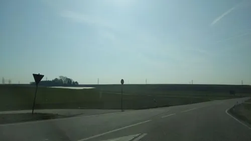

Schlosstheater Ludwigsburg
Cinema and theater · 5.3 km
Theater of Ludwigsburg Palace in Ludwisgburg, Germany





Museums and landmarks16
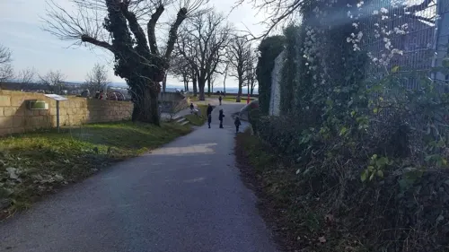



Ehemaliger Bahnhof Markgröningen
Monument and historic site · 3.1 km
1 Bahnhof, Markgröningen


Ehemaliger U.S.-Schießstand (Osterholz Rifle Range)
Monument and historic site · 2.2 km

4 more on the map.
Parks, trails and playgrounds25

Freibad Asperg
Sports field and stadium · 3.2 km
2 Altachstraße, Asperg
May,Aug,Sep Tu-Fr 09:00-19:30; May,Aug,Sep Sa,Su,PH 08:00-19:30;...


13 more on the map.
Restaurants and cafes70

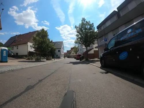
Goldener Pflug
Restaurant · German · 2.5 km
6 Dorfstraße, Ludwigsburg
Mo-Fr 06:15-10:30,11:00-22:00; Sa 07:30-10:30,11:00-22:00; Su 07:30-22:00
Il Capriccio
Restaurant · Italian · 1.7 km
17 Im Osterholz, Asperg
Mo,We,Th,Fr,Su 11:00-14:00,17:00-23:00; Sa 17:30-23:00

Naturfreundehaus Asperg Biergarten
Bar and pub · 1.7 km
Schöner Biergarten mit schwäbischer Speisekarte und großen Schirmen
18 Im Osterholz
Mo-Su 11:30-22:00
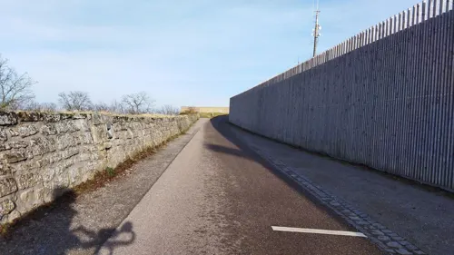
Schubartstube
Restaurant · Regional · 2.7 km
20 Schubartstraße
Apr-Oct We-Sa 17:00-23:30; Apr-Oct,Nov-Mar Su 12:00-21:00; Nov-Mar...
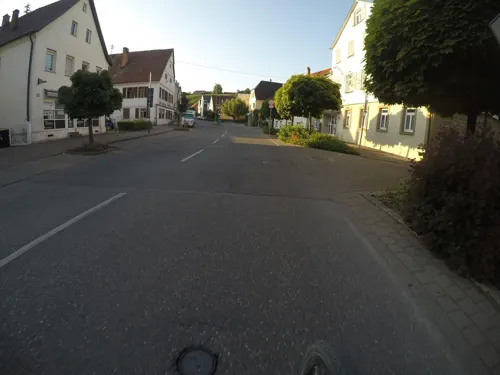
Steakhaus Tango
Restaurant · Argentinian, Steak House · 2.2 km
15 Königstraße, Asperg
Mo-Fr 17:30-21:30; Sa 17:00-22:00; Su 17:00-21:00
TSV Restaurant Emy's Trattoria
Restaurant · Italian · 1.8 km
21 Im Osterholz, Asperg
Tu-Su 17:00-21:00; Th, Fr, Su 12:00-14:00
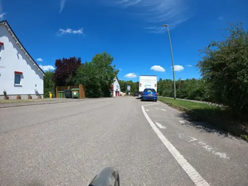
vico’s Hotel & Restaurant
Restaurant · German, Croatian · 2.0 km
20 Gartenstraße, Asperg
Mo-Sa 17:30-22:00; We off



58 more on the map.
History
Möglingen was first mentioned in 1275 in a document of the Bishopric of Constance and mentioned in 1278 as "Meginingen" in a document of Count Ulrich of Asperg.
In the 13th century Möglingen was mainly in the hands of the County Palatine of Tübingens., who sold their remaining stake in 1308 to the House of Württemberg.
Since the 14th century the village belonged to Württembergian Oberamt Gröningen, from 1718 alternately to 1807 resolved Oberamt Gröningen and Oberamt Ludwigsburg, that became in 1934 the Ludwigsburg (district).
During the Thirty Years' War, in particular 1634, the number of citizens decreased from 130 to 32, the number of houses fell from 111 to 22" “. In the following wars of succession Möglingen was again severely damaged. 1693 French troops destroyed 35 houses, including the town hall.
From the History section of Möglingen on Wikipedia, under CC BY-SA 4.0.
Where to stay6
Churches and places of worship12
Johanneskirche - Evangelisches Gemeindezentrum Nord
Church · Protestant · 0.7 km
11 Strombergstraße, Möglingen
Lighthouse Church Ludwigsburg (biblisches Glaubenszentrum)
Church · Protestant · 2.9 km
31 Strombergstraße, Ludwigsburg
Shopping18
Gas and EV charging8
Schools, colleges and libraries18
Healthcare7
Map of Möglingen
189 places. The map loads OpenStreetMap tiles when you open it.
Getting there and nearby towns
Manfred Rommel Airport Stuttgart (STR) is the nearest airport with scheduled flights listed in OpenStreetMap, 23 km away.
- Tamm 4 km north, about 4 min by car
- Schwieberdingen 4 km west, about 4 min by car
- Stuttgart 12 km south, about 12 min by car
- Vaihingen an der Enz 13 km northwest, about 13 min by car
- Waiblingen 15 km southeast, about 15 min by car
- Steinheim an der Murr 14 km northeast, about 14 min by car
- Rutesheim 16 km southwest, about 16 min by car
- Renningen 19 km southwest, about 19 min by car
- Winnenden 20 km east, about 20 min by car
- Sindelfingen 22 km south, about 22 min by car
Drive times are estimates from straight-line distance, not routes.
Local news
Headlines from INDB.
Reviews, tips and questions
Loading what members have shared...
Sources and licences
- GeoNames (CC BY 4.0): population, coordinates, regions and time zone
- Mapillary (see each image): photos
- OpenStreetMap contributors (ODbL 1.0): places, airports, map data
- Wikidata (CC0 1.0): elevation, founding date, time zone, website, landmarks and historic places
- Wikimedia Commons (see each image): photos
- Wikipedia (CC BY-SA 4.0): overview and history text
Photo credits
- Landappbw 1099859 1821 Keller von 1755 Möglingen, k61s, CC0
- Möglingen, Gruhbank I, Markgröninger Straße, Manfred Schröter, Berga, CC BY-SA 4.0
- Landappbw 1121095 1823 Markgröningen-Ludwigsburg Möglingen, k61s, CC0
- Landappbw 1121402 4871 Weide Möglingen, k61s, CC0
- Möglingen, Württembergischer Stundenstein, Manfred Schröter, Berga, CC BY-SA 4.0
- Ludwigsburg Palace December 2018, Alexander Migl, CC BY-SA 4.0
- AkademieDarstellendeKunstLudwigsburg, Mussklprozz, CC BY-SA 3.0
- Filmakademie Ludwigsburg DSC 3579, Ludwigs Unbürger, CC BY-SA 4.0
- PankratiuskircheMöglingen, Original uploader was Mussklprozz at de.wikipedia, CC BY-SA 3.0
- Aerial image of the Hohenasperg fortress, Carsten Steger, CC BY-SA 4.0
- Asperg-Michaelskirche2012, Peter Schmelzle, CC BY-SA 3.0
- Ulrichskirche-Pflugfelden 2024-04-14, MTheiler, CC BY-SA 3.0
- Wuerth-lydia-ludwigsburg-moeglinger-strasse04, Shaun92, CC BY-SA 4.0
- Stolperstein Margarete Michelfelder Ludwigsburg Benzengasse 10 DSC 3606, Ludwigs Unbürger, CC BY-SA 4.0
- 3D reconstruction of the central burial chamber from Asperg-Grafenbühl (Landesmuseum Württemberg, FaberCourtial; Thomas Hoppe, scientific reconstruction), Gretzinger, J., Schmitt, F., Mötsch, A. et al., CC BY 4.0
- Sankt Maria Moglingen10062018 1, Zonk43, CC BY-SA 3.0
- Sankt Maria Moglingen07042019, Zavijava2, CC BY-SA 3.0
- Sankt Maria Moglingen10062018 2, Zonk43, CC BY-SA 3.0
- 20201021 Moegl West, Schrauber5, CC BY-SA 4.0
- 20201021 Moegl Ost1, Schrauber5, CC BY-SA 4.0
- 20201021 Moegl Ost2, Schrauber5, CC BY-SA 4.0
- 20201021 Moegl Mitte, Schrauber5, CC BY-SA 4.0
- Sonnenuntergang, Gpsy blue, CC BY-SA 3.0
- GruheMoeglingen, Mussklprozz, CC BY-SA 3.0
- Sonnenuntergang II, Gpsy blue, CC BY-SA 3.0
- Sony Dsc, Steffen Fritz, CC BY 3.0
- Renaturierung Eselspfad - panoramio, qwesy qwesy, CC BY 3.0
- Hohenasperg - panoramio (5), qwesy qwesy, CC BY 3.0
- Asperg - Hohenasperg - Wälle - Blick vom Turm Hügelsburg auf Ostwall und Zeughaus (1), Roman Eisele, CC BY-SA 4.0
- Kaiserstein Münchingen, Harke, CC BY-SA 3.0
- Street-level photo, plexi32, CC BY-SA 4.0
- Street-level photo, plexi32, CC BY-SA 4.0
- Street-level photo, plexi32, CC BY-SA 4.0
- Street-level photo, mfa, CC BY-SA 4.0
- Street-level photo, changchun1, CC BY-SA 4.0
- Street-level photo, mfa, CC BY-SA 4.0
- Street-level photo, mfa, CC BY-SA 4.0
- Street-level photo, teddy73, CC BY-SA 4.0
- Street-level photo, plexi32, CC BY-SA 4.0
- Street-level photo, mfa, CC BY-SA 4.0
- Street-level photo, pheet, CC BY-SA 4.0
- Street-level photo, mfa, CC BY-SA 4.0
- Street-level photo, mfa, CC BY-SA 4.0
- Street-level photo, mfa, CC BY-SA 4.0
- Street-level photo, deleted_user, CC BY-SA 4.0
- Street-level photo, pheet, CC BY-SA 4.0
- Street-level photo, changchun1, CC BY-SA 4.0
- Street-level photo, plexi32, CC BY-SA 4.0
- Street-level photo, pharris0n, CC BY-SA 4.0
- Street-level photo, pharris0n, CC BY-SA 4.0


Page built November 8, 2026. Spotted a mistake? Tell us or suggest a place.