


Why visit Mömlingen
Townapedia lists 19 museums and landmarks, 23 parks and trails, 29 places to eat and 14 attractions in and around town.
Highlights include Marie's Hofladen, Mühlenladen, Ottilienbildstock and Bacheburg.
Weather in Mömlingen
Forecast from MET Norway (CC BY 4.0). Full forecast
About Mömlingen
Mömlingen is a municipality in the Miltenberg district in the Regierungsbezirk of Lower Franconia (Unterfranken) in Bavaria, Germany.
From the Wikipedia article Mömlingen (this version), under CC BY-SA 4.0.
Things to do14

Mühlenladen
Farm and orchard · 3.4 km
7 Mühlstraße, Obernburg am Main
Mo-Th 09:00-12:00,13:00-17:00; PH off


2 more on the map.
Museums and landmarks19



5222 Aschaffenburg Süd - Höchst (Odenw)
Monument and historic site · 2.7 km


7 more on the map.
Parks, trails and playgrounds23


Spielplatz Wiesentalstraße
Playground · 3.2 km
08:00-20:00 "längstens bis zum Einbruch der Dunkelheit"
11 more on the map.
Restaurants and cafes29
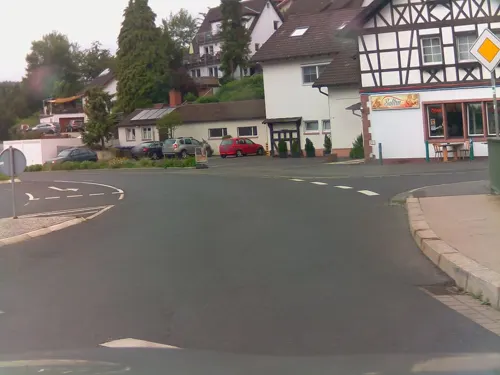

Landgasthof Zum Löwen
Restaurant · Regional · 4.0 km
76 Mainstraße, Breuberg
Tu-Sa 16:00-22:00; Su 11:00-14:30,16:00-22:00

Naturfreundehaus Eisenbach
Bar and pub · 3.7 km
1 Im Adel, Obernburg am Main
Su 11:00-19:00; week 02-52/2 We 14:00-19:00; Aug off
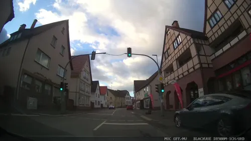
Pizzeria am Markt
Restaurant · Italian, Pizza
25 Hauptstraße, Mömlingen
Mo 17:00-22:00; We,Th 11:30-14:00,17:00-22:00; Fr,Sa 17:00-22:00;...
Salztrögstuben
Restaurant · Croatian · 4.2 km
6 Salztrögweg, Obernburg am Main
Tu-Sa 17:00-23:00; Su,PH 11:00-22:00; Mo off

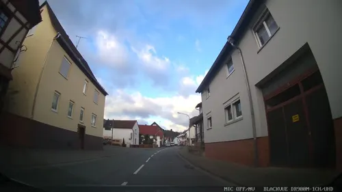
Bäcker Stapp
Bakery · 4.2 km
62 Mainstraße, Breuberg
Mo-Fr 06:30-11:00; Sa 06:30-12:00; Su 08:00-11:00
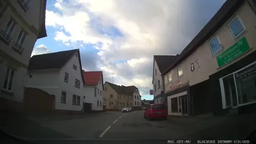



Brigitte´s Eisstübchen
Cafe · Ice Cream
12 Kirchrainstraße, Mömlingen
Mo-Fr 13:00-22:00; Sa,Su 12:00-22:00
Bäckerei Krug
Bakery · 3.7 km
7 Odenwaldstraße, Obernburg am Main
Th,Fr 06:00-12:30,14:00-18:00; Sa 06:00-12:30
17 more on the map.
Churches and places of worship13
Shopping9
Gas and EV charging1
Schools, colleges and libraries3
Healthcare2
Map of Mömlingen
113 places. The map loads OpenStreetMap tiles when you open it.
Getting there and nearby towns
Frankfurt Airport (FRA) is the nearest airport with scheduled flights listed in OpenStreetMap, 43 km away.
- Großostheim 7 km north, about 7 min by car
- Höchst im Odenwald 9 km southwest, about 9 min by car
- Groß-Umstadt 11 km west, about 11 min by car
- Aschaffenburg 14 km north, about 14 min by car
- Babenhausen 15 km northwest, about 15 min by car
- Dieburg 18 km west, about 18 min by car
- Goldbach 17 km northeast, about 17 min by car
- Reinheim 18 km west, about 18 min by car
- Groß-Zimmern 18 km west, about 18 min by car
- Hösbach 19 km northeast, about 19 min by car
Drive times are estimates from straight-line distance, not routes.
Local news
Headlines from INDB.
Reviews, tips and questions
Loading what members have shared...
Sources and licences
- GeoNames (CC BY 4.0): population, coordinates, regions and time zone
- Mapillary (see each image): photos
- OpenStreetMap contributors (ODbL 1.0): places, airports, map data
- Wikidata (CC0 1.0): elevation, founding date, time zone, website
- Wikimedia Commons (see each image): photos
- Wikipedia (CC BY-SA 4.0): overview and history text
Photo credits
- Mömlingen Rathaus, Salino01, Public domain
- Ehemaliger Buntsandsteinbruch Mömlingen, Freak-Line-Community, CC BY-SA 4.0
- Steinkreuz-Mömlingen 1712 oberhalb-Teufelsloch, Commander-pirx, CC BY-SA 3.0
- Abzweig am Radweg Mömlingen-Wenigumstadt - panoramio, JehnW, CC BY-SA 3.0
- Bacheburg Neustädterhof Übersicht, Commander-pirx, CC BY-SA 3.0
- Bruchwiesen von Dorndiel 2020c, Thiotrix, CC BY-SA 4.0
- Grenzstein Hoher Stein (Odenwald) 09, Commander-pirx, CC BY-SA 4.0
- Wenigumstadt Ottilienbildstock (2), Honischboy, CC0
- Bacheburg Uebersicht-von-Mümling, commander-pirx, CC BY-SA 3.0
- Katholische Pfarrkirche Corpus Domini Mömlingen, Salino01, CC BY 3.0
- Mömlingen Pfarrkirche St. Martin, Salino01, Public domain
- Wendelinuskapelle-wenigumstadt, Commander-pirx at German Wikipedia, CC BY-SA 3.0
- Mömling1, Freak-Line-Community, CC BY-SA 3.0
- Buchenkopf - panoramio, JehnW, CC BY-SA 3.0
- Street-level photo, chuck, CC BY-SA 4.0
- Street-level photo, chuck, CC BY-SA 4.0
- Street-level photo, ramap, CC BY-SA 4.0
- Street-level photo, chuck, CC BY-SA 4.0
- Street-level photo, ramap, CC BY-SA 4.0
- Street-level photo, bct, CC BY-SA 4.0
- Street-level photo, bct, CC BY-SA 4.0
- Street-level photo, chuck, CC BY-SA 4.0
- Street-level photo, chuck, CC BY-SA 4.0
- Street-level photo, chuck, CC BY-SA 4.0
- Street-level photo, bct, CC BY-SA 4.0
- Street-level photo, bct, CC BY-SA 4.0
- Street-level photo, bct, CC BY-SA 4.0
- Street-level photo, ramap, CC BY-SA 4.0
- Street-level photo, bct, CC BY-SA 4.0
- Street-level photo, bct, CC BY-SA 4.0


Page built November 9, 2026. Spotted a mistake? Tell us or suggest a place.