


Why visit Hösbach
Townapedia lists 35 museums and landmarks, 6 parks and trails, 50 places to eat, 4 places to stay and 11 attractions in and around town.
Highlights include Attigsberg, Gartenberg, Gräfenberg Castle and Franziska Lederer geb. Katz.
Weather in Hösbach
Forecast from MET Norway (CC BY 4.0). Full forecast
About Hösbach
Hösbach is a river of Bavaria, Germany, at the market community Hösbach in the Aschaffenburg district in the Regierungsbezirk of Lower Franconia (Unterfranken).
From the Wikipedia article Hösbach (river) (this version), under CC BY-SA 4.0.
Things to do11




Museums and landmarks35

Gräfenberg Castle
Monument and historic site · 3.3 km
Former castle on Gräfenberg hill near Rottenberg, Germany



23 more on the map.
Parks, trails and playgrounds6

Grillplatz am Mühlstück
Park · 0.6 km
Only usable with written permission of Hösbach city

Restaurants and cafes50

Aoki Sushi
Restaurant · Sushi · 2.5 km
9 Bayernstraße, Goldbach
Tu-Sa 11:30-15:00,17:30-22:30; Su 11:30-22:30
Indian Chilli Haus
Restaurant · Indian
101 Hauptstraße, Hösbach
Mo-Fr 11:30-14:00,17:30-22:00; Sa 17:00-22:00; Su 11:30-14:00,17:00-22:00
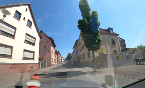
Indian Wirtshaus Westend
Restaurant · German, Italian, Indian · 2.4 km
26 Aschaffenburger Straße, Goldbach
Mo off; Tu-Sa 16:30-22:30; Su,PH 11:30-14:30,17:00-22:30
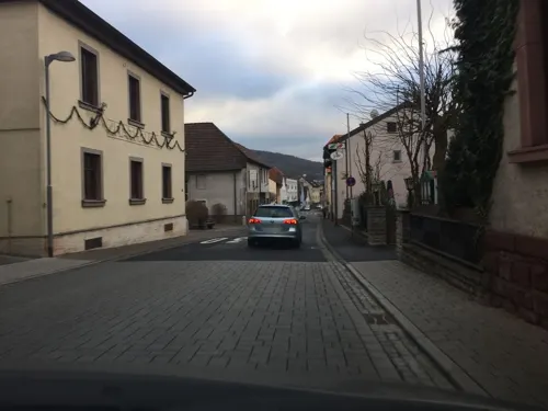
Landgasthaus Adler
Restaurant · Regional, German · 1.9 km
43 Hauptstraße, Goldbach
Mo-Sa 16:00-23:00; Su 11:00-23:00
Ristorante Da Fabio
Restaurant · Italian, Pizza, Pasta · 1.2 km
4 Hauptstraße, Hösbach
Tu-Su 17:00-22:00; Mo off
Taste of India Goldbach
Restaurant · Indian · 1.9 km
33 Hauptstraße, Goldbach
Mo-Fr,Su 11:30-14:30, 17:30-22:00; Sa 17:30-22:00
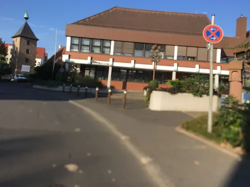
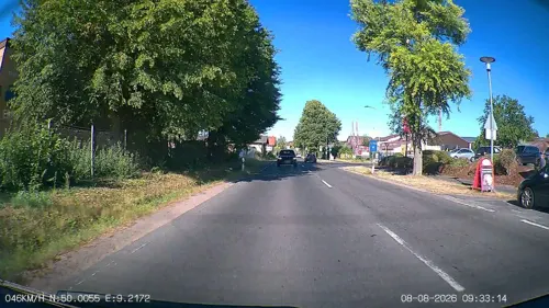
Burger
Bakery · 2.1 km
61 Aschaffenburger Straße, Goldbach
Mo-Fr 05:30-18:00; Sa 06:00-12:30; Su 07:30-11:00


38 more on the map.
Where to stay4
Churches and places of worship9
Shopping16
Gas and EV charging1
Schools, colleges and libraries11
Healthcare4
Franken Apotheke
Clinic and pharmacy · 1.4 km
148 Aschaffenburger Straße, Goldbach
St. Nikolaus-Apotheke
Clinic and pharmacy · 2.0 km
76 Aschaffenburger Straße, Goldbach
Map of Hösbach
147 places. The map loads OpenStreetMap tiles when you open it.
Getting there and nearby towns
Frankfurt Airport (FRA) is the nearest airport with scheduled flights listed in OpenStreetMap, 47 km away.
- Mömbris 8 km northwest, about 8 min by car
- Rodenbach 20 km northwest, about 20 min by car
- Langenselbold 22 km northwest, about 22 min by car
- Lohr am Main 26 km east, about 26 min by car
- Wächtersbach 28 km north, about 28 min by car
- Offenbach 33 km west, about 33 min by car
- Marktheidenfeld 34 km southeast, about 34 min by car
- Wertheim 35 km southeast, about 35 min by car
- Roßdorf 36 km southwest, about 36 min by car
- Frankfurt am Main 39 km west, about 39 min by car
Drive times are estimates from straight-line distance, not routes.
Local news
Headlines from INDB.
Reviews, tips and questions
Loading what members have shared...
Sources and licences
- GeoNames (CC BY 4.0): population, coordinates, regions and time zone
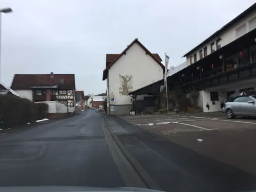
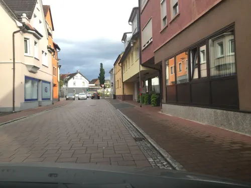
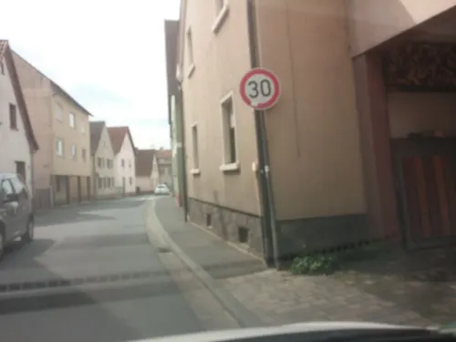
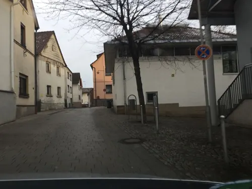
- Mapillary (see each image): photos
- OpenStreetMap contributors (ODbL 1.0): places, airports, map data
- Wikidata (CC0 1.0): elevation, founding date, time zone, website, landmarks and historic places
- Wikimedia Commons (see each image): photos
- Wikipedia (CC BY-SA 4.0): overview and history text
Photo credits
- Hösbach, Freak-Line-Community, CC BY-SA 3.0
- Bildstockfragment und Oberteil eines Grabsteins, Hösbach Kirchenstrasse 22 - 01, Cw, CC BY-SA 4.0
- Bildstockfragment und Oberteil eines Grabsteins, Hösbach Kirchenstrasse 22 - 02, Cw, CC BY-SA 4.0
- Bildstockfragment und Oberteil eines Grabsteins, Hösbach Kirchenstrasse 22 - 03, Cw, CC BY-SA 4.0
- Alte Staatsstraße 2307 bei Hösbach, Freak-Line-Community, CC BY-SA 4.0
- Hösbach, St. Michael 010, Mattana, CC BY-SA 3.0
- Hösbach, St. Michael 011, Mattana, CC BY-SA 3.0
- Hösbach, St. Michael 008, Mattana, CC BY-SA 3.0
- Hösbach, St. Michael 009, Mattana, CC BY-SA 3.0
- Hösbach, St. Michael 012, Mattana, CC BY-SA 3.0
- Hösbach, St. Michael 005, Mattana, CC BY-SA 3.0
- Hösbach, St. Michael 006, Mattana, CC BY-SA 3.0
- Hösbach, St. Michael 004, Mattana, CC BY-SA 3.0
- Hösbach, St. Michael 003, Mattana, CC BY-SA 3.0
- Hösbach, St. Michael 002, Mattana, CC BY-SA 3.0
- Hösbach, St. Michael 001, Mattana, CC BY-SA 3.0
- Hösbach Einhausung02 2009-04-12, KlausFoehl, CC BY-SA 3.0
- Hösbach, Hauptstraße 55, KaiBorgeest, CC BY-SA 4.0
- Unterer Hösbach Mündung, Freak-Line-Community, CC BY-SA 3.0
- Hösbachmündung, Freak-Line-Community, CC BY-SA 3.0
- Gräfenberg Mauer, Freak-Line-Community, CC BY-SA 3.0
- Burgstall Kugelburg 02, Commander-pirx, CC BY-SA 4.0
- Klinikum Aschaffenburg und Gartenberg, Freak-Line-Community, CC BY-SA 4.0
- Goldbach with St. Nikolaus, KaiBorgeest, CC BY-SA 4.0
- Hösbach, Hauptstraße 93, Pfarrkirche St. Michael, 001, Tilman2007, CC BY-SA 3.0
- Stolperstein für Franziska Lederer (Hösbach), Christian Michelides, CC BY-SA 4.0
- Stolperstein für Harry Löwenthal (Hösbach), Christian Michelides, CC BY-SA 4.0
- Stolperstein für Heinrich Löwenthal (Hösbach), Christian Michelides, CC BY-SA 4.0
- Stolperstein für Paula Löwenthal (Hösbach), Christian Michelides, CC BY-SA 4.0
- Stolperstein für Steffi Löwenthal (Hösbach), Christian Michelides, CC BY-SA 4.0
- Hoesbach Schaeferhelgen, KaiBorgeest, CC BY-SA 4.0
- Hoesbach Hauptstrasse Wayside Shrine, KaiBorgeest, CC BY-SA 4.0
- Hoesbach Hauptstr 120, KaiBorgeest, CC BY-SA 4.0
- Hoesbach Schoellkrippener Str 7, KaiBorgeest, CC BY-SA 4.0
- Hoesbach Hauptstrasse 107, KaiBorgeest, CC BY-SA 4.0
- Hoesbach Kirchenstr 9, KaiBorgeest, CC BY-SA 4.0
- Afferbachmündung, Freak-Line-Community, CC BY-SA 3.0
- Afferbach, Freak-Line-Community, CC BY-SA 3.0
- Brückenheiliger, Freak-Line-Community, CC BY-SA 3.0
- Hoesbach, Hauptstraße 57, KaiBorgeest, CC BY-SA 4.0
- Kugelberg 01 turmhuegel-vorburg, Commander-pirx, CC BY-SA 4.0
- Street-level photo, Velo63739, CC BY-SA 4.0
- Street-level photo, m_groebs, CC BY-SA 4.0
- Street-level photo, m_groebs, CC BY-SA 4.0
- Street-level photo, atze02, CC BY-SA 4.0
- Street-level photo, heetENkoel, CC BY-SA 4.0
- Street-level photo, m_groebs, CC BY-SA 4.0
- Street-level photo, m_groebs, CC BY-SA 4.0
- Street-level photo, m_groebs, CC BY-SA 4.0
- Street-level photo, m_groebs, CC BY-SA 4.0
- Street-level photo, m_groebs, CC BY-SA 4.0
- Street-level photo, m_groebs, CC BY-SA 4.0
- Street-level photo, m_groebs, CC BY-SA 4.0
- Street-level photo, m_groebs, CC BY-SA 4.0
- Street-level photo, m_groebs, CC BY-SA 4.0
- Street-level photo, m_groebs, CC BY-SA 4.0
- Street-level photo, m_groebs, CC BY-SA 4.0
- Street-level photo, m_groebs, CC BY-SA 4.0
- Street-level photo, m_groebs, CC BY-SA 4.0
- Street-level photo, frhh211, CC BY-SA 4.0
- Street-level photo, m_groebs, CC BY-SA 4.0
- Street-level photo, heetENkoel, CC BY-SA 4.0
- Street-level photo, Velo63739, CC BY-SA 4.0
- Street-level photo, m_groebs, CC BY-SA 4.0
- Street-level photo, m_groebs, CC BY-SA 4.0
- Street-level photo, m_groebs, CC BY-SA 4.0
- Street-level photo, Velo63739, CC BY-SA 4.0
- Street-level photo, m_groebs, CC BY-SA 4.0


Page built November 8, 2026. Spotted a mistake? Tell us or suggest a place.