


Nettersheim, Germany
Nettersheim is a town of 7,901 people in North Rhine-Westphalia, Germany.
Why visit Nettersheim
Townapedia lists 118 museums and landmarks, 52 parks and trails, 73 places to eat, 26 places to stay and 16 attractions in and around town.
Highlights include Hopfenberg, Jakob-Kneip-Berg, Ehem. Ausweichsitz der Landesregierung NRW and Eifelmuseum Blankenheim.
Weather in Nettersheim
Forecast from MET Norway (CC BY 4.0). Full forecast
About Nettersheim
Nettersheim (German pronunciation: [ˈnɛtɐsˌhaɪm]) is a municipality in the district of Euskirchen in the state of North Rhine-Westphalia, Germany. It is located in the Eifel hills, approx. 20 km south-west of Euskirchen. The rivers Erft and Urft have their source in the municipality.
From the Wikipedia article Nettersheim (this version), under CC BY-SA 4.0.
Things to do16


4 more on the map.
Museums and landmarks118

Ehem. Ausweichsitz der Landesregierung NRW
Museum · 4.0 km
Ehemaliger Atombunker der NRW Landesregierung
1 Am Gillesbach, Kall
Sa 16:00-18:00

Eifelmuseum Blankenheim
Museum · 6.4 km
Apr-Oct Mo-Th 10:00-16:00, Fr 10:00-17:00, Sa-Su 11:00-15:00;...

Römischer Gutshof Villa Rustika
Monument and historic site · 5.9 km
Reste einer Römervilla
In den Alzen


Burg Marmagen
Monument and historic site · 4.1 km
12 Burgstraße, Nettersheim


Eifel Aqueduct
Monument and historic site · 2.5 km
Aqueduct in the Eifel region of the Roman Empire

Barrierefreier Landschaftspfad
Monument and historic site · 4.1 km
1 Dr. Konrad-Adenauer-Straße, Nettersheim


Grüner Pütz
Monument and historic site · 2.5 km
Settlement tank for sediment in roman water pipeline.

106 more on the map.
Parks, trails and playgrounds52

Bauerngolf
Golf course · 3.8 km
1 Margaretenhof, Kall
Apr open "je nach Bespielbarkeit und Witterung; Bitte anrufen";...


Haubachtal, Dietrichseiffen mit Urftaue bei Blankenheim-Wald
Hiking and trails · 5.7 km
40 more on the map.
Restaurants and cafes73
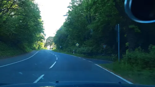
Café Land-Gebuss
Cafe · Regional · 6.0 km
Kakusstraße
Mar-Sep: Mo off, Tu-Fr 11:00-18:00, Sa-Su 11:00-18:00, PH...

Forstwalder Stube
Restaurant · German · 5.6 km
1 Am Genfbach, Blankenheim
Apr-Oct: Mo-Fr 08:00-19:00, Sa,Su,PH 08:00-18:00; Nov-Mar: Mo-Fr...
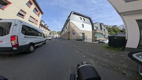
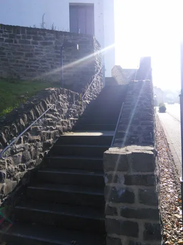
Nettersheimer Hof
Restaurant
5 Bahnhofstraße, Nettersheim
Mo, Tu 16:00-22:00; Fr 16:00-22:30; Sa, Su 11:00-22:30
Oliva Kall
Restaurant · Greek · 7.0 km
63A Hüttenstraße, Kall
Tu,Fr,Sa,Su 12:00-22:00; We,Th 17:00-22:00

Bell - Bäckerei, Konditorei, Cafe
Bakery · 5.8 km
52 Nürburgstraße, Blankenheim
Mo-Fr 06:00-18:00; Sa 06:00-14:00; Su 08:00-9:30
Brasserie an der Ahr
Restaurant · 6.3 km
34 Ahrstraße, Blankenheim
We-Sa 17:00-23:00; Su,PH 12:00-23:00; Mo,Tu off
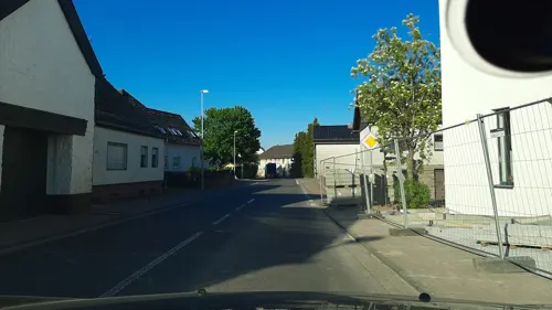
Bäckerei Jenniches - Café „Aha”
Bakery · 6.7 km
16 Siemensring, Kall
Mo-Fr 07:00-19:00; Sa 07:00-16:00


61 more on the map.
Where to stay26
Churches and places of worship42
Basilika St. Potentinus, Felicius und Simplicius
Church · Roman Catholic · 4.7 km
4 Hermann-Josef-Straße, Kall
Sankt Laurentius
Church · Roman Catholic · 3.9 km
39 Kölner Straße, Nettersheim
St. Maria Himmelfahrt
Church · Roman Catholic · 6.4 km
10 Klosterstraße, Blankenheim
Sankt Cäcilia
Church · Roman Catholic · 5.9 km
26 Jakob-Kneip-Straße, Nettersheim
St. Peter und Paul
Church · Catholic · 5.7 km
60 Nürburgstraße, Blankenheim
Kirche und Gemeindehaus Kall - Evangelische Trinitatis-Kirchengemeinde Schleidener Tal
Church · Protestant · 7.4 km
49 Aachener Straße, Kall
Shopping28
Gas and EV charging6
Schools, colleges and libraries18
St. Nikolaus Schule - Förderschule mit dem Förderschwerpunkt Geistige Entwicklung
School · 7.3 km
9 Weiherbenden, Kall
Healthcare5
Map of Nettersheim
250 places. The map loads OpenStreetMap tiles when you open it.
Getting there and nearby towns
Flugplatz Würselen-Aachen (AAH) is the nearest airport with scheduled flights listed in OpenStreetMap, 48 km away.
- Kall 7 km northwest, about 7 min by car
- Mechernich 11 km north, about 11 min by car
- Schleiden 11 km west, about 11 min by car
- Euskirchen 22 km northeast, about 22 min by car
- Zülpich 22 km north, about 22 min by car
- Nideggen 24 km northwest, about 24 min by car
- Simmerath 26 km northwest, about 26 min by car
- Rheinbach 27 km northeast, about 27 min by car
- Vettweiß 27 km north, about 27 min by car
- Monschau 28 km west, about 28 min by car
Drive times are estimates from straight-line distance, not routes.
Local news
Headlines from INDB.
Reviews, tips and questions
Loading what members have shared...
Sources and licences
- GeoNames (CC BY 4.0): population, coordinates, regions and time zone
- Mapillary (see each image): photos
- OpenStreetMap contributors (ODbL 1.0): places, airports, map data
- Wikidata (CC0 1.0): elevation, founding date, time zone, website, landmarks and historic places
- Wikimedia Commons (see each image): photos
- Wikipedia (CC BY-SA 4.0): overview and history text
Photo credits
- Bahnhofsempfangsgebäude Nettersheim, Bahnhofstraße 16-6700, Raimond Spekking, CC BY-SA 4.0
- Nettersheim Zutendaal-Platz, Ocrho, CC0
- Altes Kloster Nettersheim, PainWithChocolate, CC BY-SA 4.0
- Wohnhaus Römerplatz 6, Nettersheim-6742, Raimond Spekking, CC BY-SA 4.0
- Wohnhaus Römerplatz 6, Nettersheim-6741, Raimond Spekking, CC BY-SA 4.0
- RE 22 im Bahnhof Nettersheim, Eifel-2121, Raimond Spekking, CC BY-SA 4.0
- Bahnhof Nettersheim, Eifel-2118, Raimond Spekking, CC BY-SA 4.0
- Römerstraßen, Nettersheim-8646, Raimond Spekking, CC BY-SA 4.0
- Römerstraßen, Nettersheim-8645, Raimond Spekking, CC BY-SA 4.0
- Römerstraßen, Nettersheim-8643, Raimond Spekking, CC BY-SA 4.0
- Eifelwasserleitung05, Putput, CC BY-SA 3.0
- Nettersheim St. Martin 82, Reinhardhauke, CC BY-SA 3.0
- Aquäduktbrücke in Mechernich-Vollem, MSporleder, CC BY-SA 4.0
- Gronrechtsmühle im -Grünen Pütz-, Pfir, CC BY-SA 3.0 de
- Atombunker in Urft (10564312753), Dirk Vorderstraße, CC BY 2.0
- Klooster Steinfeld, toegangspoort, RomkeHoekstra, CC BY-SA 4.0
- Kallmuth Aussicht mit Dorfkirche, A.Savin, CC BY-SA 3.0
- Marmagen Alte Burg, Pfir, CC BY-SA 3.0
- Eifelmuseum Blankenheim, Rosemoon, CC BY-SA 3.0
- St. Laurentius (Marmagen) (01), Chris06, CC BY-SA 4.0
- Blankenheim, Dietrich Krieger, CC BY-SA 3.0
- Burg Dalbenden 005-, Wolkenkratzer, CC BY-SA 4.0
- Blankenheimerdorf, Nürburgstr. 60, Bild 2, Listen-köbes, CC BY-SA 4.0
- St. Barbara (Krekel), Chris06, CC BY-SA 4.0
- St. Lambertus (Tondorf) (3), Chris06, CC BY-SA 4.0
- Am Jakob-Kneipp Berg, Dirk df, CC BY-SA 3.0
- St. Gertrud (Bouderath) 08, Thomas Hummel, CC BY-SA 4.0
- Marmagen, Burg Marmagen, Elya, CC BY-SA 3.0
- Genfbach im Naturschutzgebiet Genfbachtal südöstlich Nettersheim-2189, Raimond Spekking, CC BY-SA 4.0
- Wohnmobilhafen Nettersheim-2264, Raimond Spekking, CC BY-SA 4.0
- Marmagen, Kath. Pfarrkirche St. Laurentius, Elya, CC BY-SA 3.0
- Kloster Steinfeld 004-, Wolkenkratzer, CC BY-SA 4.0
- Tiergartentunnel (Blankenheim), Ralf Hüls, CC BY-SA 4.0
- Atombunker in Urft (10564661413), Dirk Vorderstraße, CC BY 2.0
- Brunnenstube gruener puetz, Pierre Wasser, CC BY-SA 2.5
- St. Georg (Kallmuth)11, Chris06, CC BY-SA 4.0
- Cantharis lateralis 8465651, portioid, CC BY-SA 4.0
- Polydesmus angustus 9080469, portioid, CC BY-SA 4.0
- Polydesmus angustus 9080474, portioid, CC BY-SA 4.0
- Grypocoris sexguttatus 8523601, portioid, CC BY-SA 4.0
- Am Hirtenturm 3 Blankenheim, Rosemoon, CC BY-SA 3.0
- Street-level photo, eifelkobold, CC BY-SA 4.0
- Street-level photo, mapillaryme, CC BY-SA 4.0
- Street-level photo, raymond, CC BY-SA 4.0
- Street-level photo, eifelkobold, CC BY-SA 4.0
- Street-level photo, eifelkobold, CC BY-SA 4.0
- Street-level photo, mapillaryme, CC BY-SA 4.0
- Street-level photo, mapillaryme, CC BY-SA 4.0
- Street-level photo, joostjakob, CC BY-SA 4.0
- Street-level photo, trockennasenaffe, CC BY-SA 4.0
- Street-level photo, trockennasenaffe, CC BY-SA 4.0
- Street-level photo, marczoutendijk, CC BY-SA 4.0
- Street-level photo, raymond, CC BY-SA 4.0
- Street-level photo, tobiasreg, CC BY-SA 4.0


Page built November 9, 2026. Spotted a mistake? Tell us or suggest a place.